The best walks and hikes in Bargo River State Conservation Area
4.5
(2)
21
hikers
4
hikes
Looking for the best hikes and walks in Bargo River State Conservation Area? Then browse our collection of routes around this beautiful natural park in Australia below. We present you with hiking trails in Bargo River State Conservation Area — all you’ve got to do is pick your favorite and get going.
Last updated: June 25, 2026
6
hikers
12.3km
04:37
490m
490m
Moderate hike. Good fitness required. Mostly accessible paths. Sure-footedness required.
5.0
(1)
5
hikers
12.3km
03:25
230m
230m
Moderate hike. Good fitness required. Easily-accessible paths. Suitable for all skill levels.

Sign up for free
4.0
(1)
9
hikers
6.79km
02:03
110m
110m
Hard hike. Good fitness required. Sure-footedness, sturdy shoes and alpine experience required.
4.0
(1)
8
hikers
6.73km
02:02
110m
110m
Hard hike. Good fitness required. Sure-footedness, sturdy shoes and alpine experience required.
2
hikers
10.3km
03:02
240m
240m
Hard hike. Good fitness required. Sure-footedness, sturdy shoes and alpine experience required.
Our route recommendations are based on thousands of hikes, rides, and runs completed by other people on komoot.
Start today with a free account
Your next adventure awaits.
Login or Signup
Popular around Bargo River State Conservation Area
Tips from the Community

From here you get a great view of Forty Foot Falls, and the trail officially ends. There is a large cave behind the falls, and several deep creek pools you can explore from this point if you feel comfortable with it, but be careful and take extra precautions around slippery sections of rock.
0
0
This track runs for about 3.5 kilometres, eventually leading you to a very nice viewpoint of Forty Foot Falls. It is a well-maintained trail that has some sections of raised wooden walkway, as well as some packed dirt sections through forest. Overall, it is an approachable trail, but there is a little bit of climbing, looser footing, and bushwhacking near the falls, so stay aware in that section.
0
0
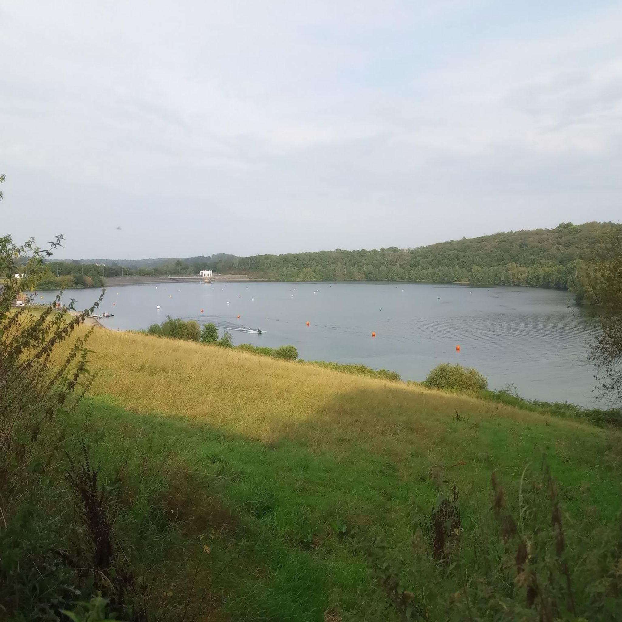
This calm, lakeside recreation area is a great spot to relax and watch the ducks, have a picnic, or to take a walk around the loop trail around the lake. There is also access to several nearby trails that connect to the area, like the walking track to Forty Foot Falls and Mount Alexandra.
0
0

Located in Nattai National Park and standing at 672 metres, Point Hill is accessible from Ahearn's Lookout Trail or via a short spur from Starlights Trail. Although it is higher that Ahearn's & Needles Lookouts it doesn't have the same views as those cliffside vistas do. That being said, it's a landmark worth noting while on the trail.
0
0
After making your way through long stretches of bush that may be overgrown is some places you'll arrive to the edge of a cliff with spectacular views across the mountains. Just be sure to wear long sleeves and pants to protect yourself from scratchy vegetation.
0
0

Nattai National Park is a vast wilderness area southwest of Sydney, known for its deep river valleys, sandstone escarpments, and expansive eucalypt forests. With limited road access and few facilities, it retains a remote, undeveloped character that appeals to experienced walkers and nature enthusiasts. The park protects important water catchments and forms part of the Greater Blue Mountains World Heritage Area, highlighting both its ecological and scenic significance.
0
0
Starlights Trail is a remote bushwalk in Nattai National Park that forms part of a larger walking network between Mittagong and Katoomba, passing through untouched wilderness. The track descends into the Nattai Valley, offering sweeping views of the Nattai River, surrounding cliffs, and lookouts, with eucalyptus and pockets of blue-leaved stringybark lining sections of the route. Popular with experienced hikers, it offers a rugged and immersive journey through one of the most secluded landscapes in the Greater Blue Mountains region.
0
0
This viewpoint looks out over the Nattai River as it winds through a remote sandstone gorge within Nattai National Park. From here, it’s only a few metres down to reach the river’s banks, offering a closer perspective of the clear water and surrounding bushland. The river ultimately joins the Wollondilly River and forms part of the Warragamba Dam catchment, underscoring its environmental importance as well as its scenic appeal.
0
0
Most popular routes in Bargo River State Conservation Area

Get inspired with the komoot mobile app


Explore more
Browse the best Hikes in other regions.
