The 9 Most Amazing Peaks around Nicasio
Best mountain peaks around Nicasio are characterized by a picturesque landscape of forested and open ridgelines that encircle a broad, rolling valley. The area features notable hills and ridges that offer scenic beauty and recreational opportunities. The highest elevation in Nicasio reaches approximately 428 meters. This region provides an unspoiled rural atmosphere and natural beauty in West Marin County.
Best mountain peaks around Nicasio
- The most popular mountain peaks is Mount Wittenberg Trail, a trail that involves a steep…
Last updated: August 9, 2026
Mount Wittenberg Trail
Highlight (Segment) • Trail
Tip by

White Hill Summit on Sir Francis Drake Boulevard
Highlight • Summit
Tip by
Sign up now to discover places like this
Get recommendations on the best single tracks, peaks, & plenty of other exciting outdoor places.
Sign up for free
Big Rock Trail to ridge summit above Lucas Films Studio
Highlight • Summit
Tip by

Big Rock Ridge
Highlight • Summit
Tip by
Moon Hill Summit - Nicasio Valley Road
Highlight • Summit
Tip by
Sign up for free to discover even more peaks around Nicasio.
Sign up for free
Already have an account?
Start today with a free account
Your next adventure awaits.
Login or Signup
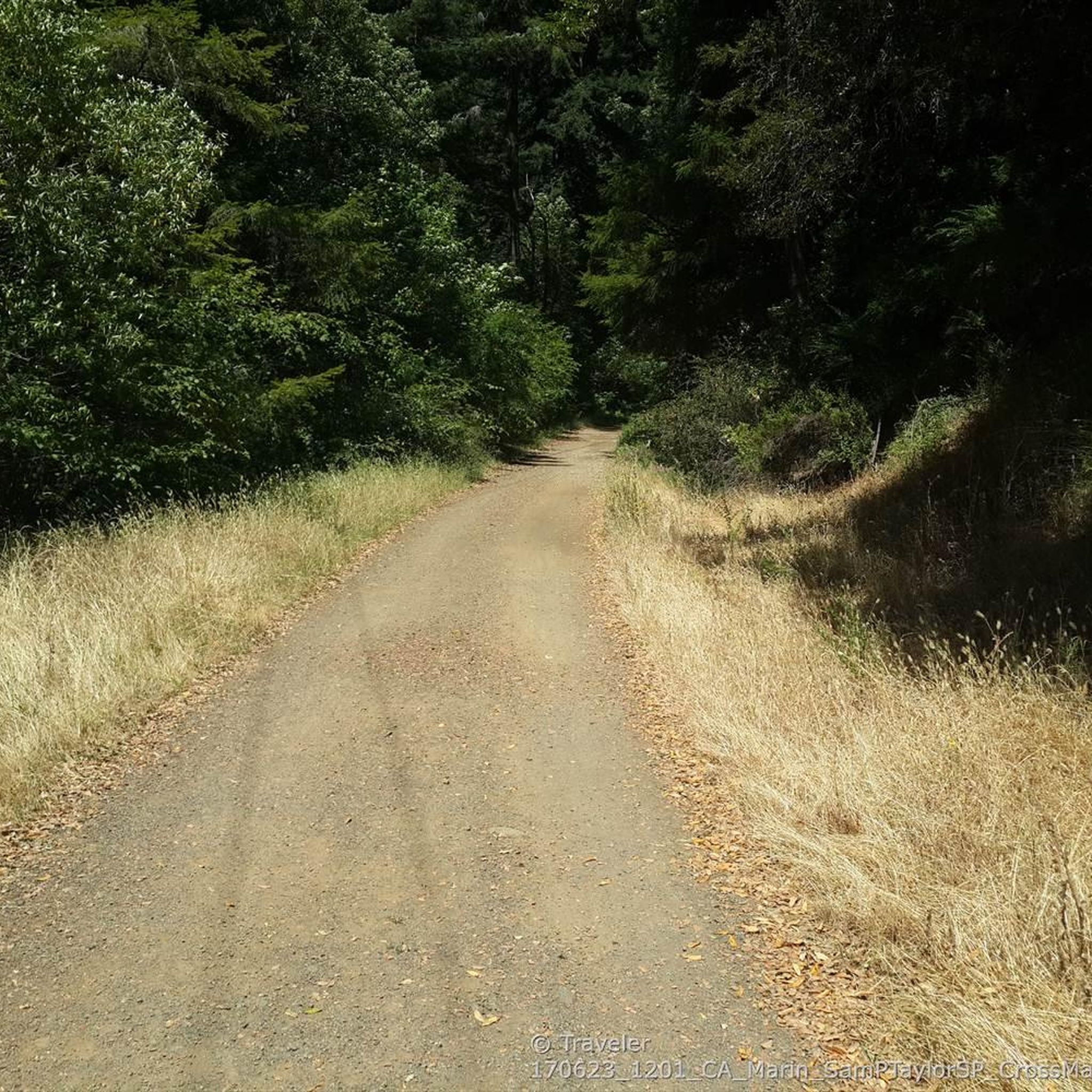
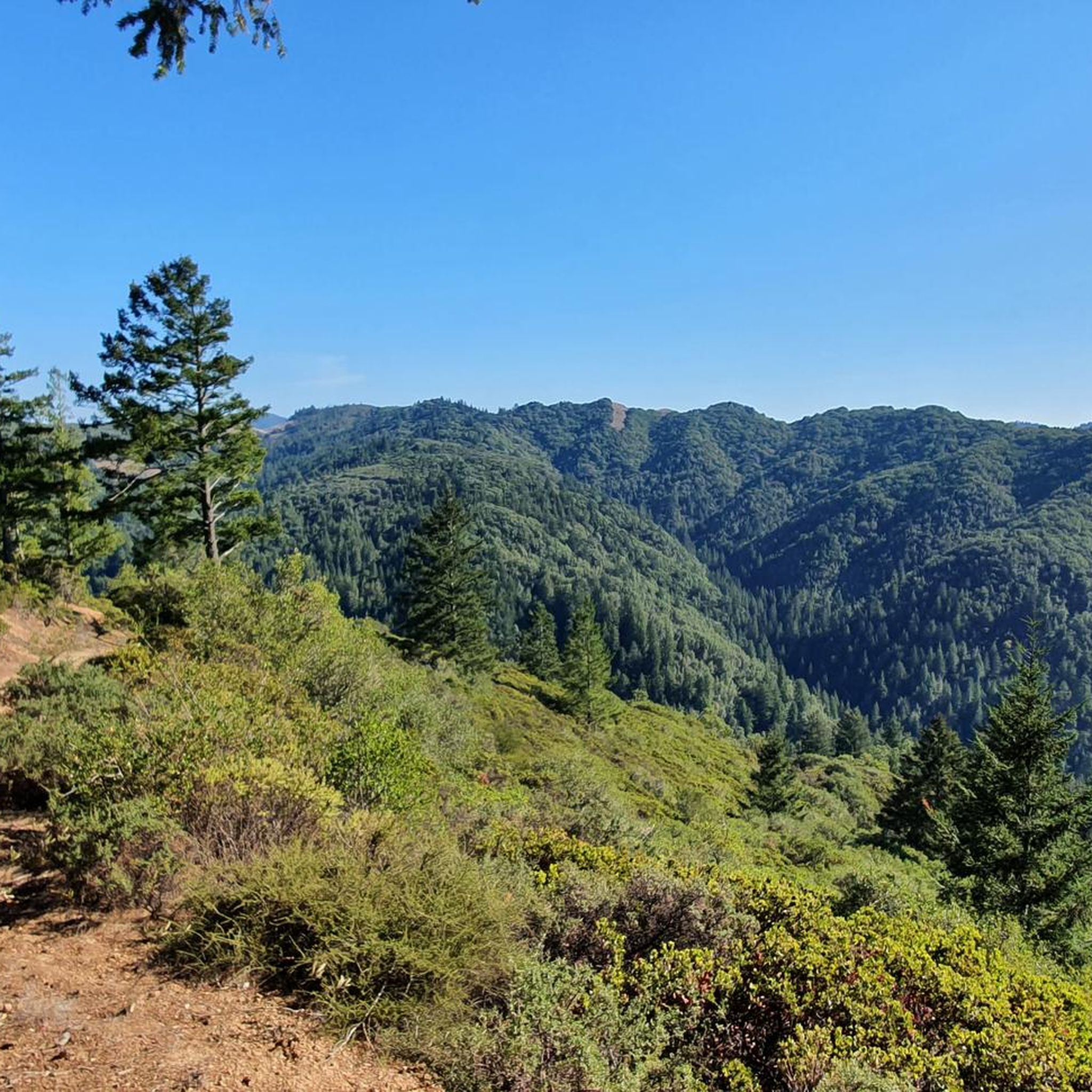
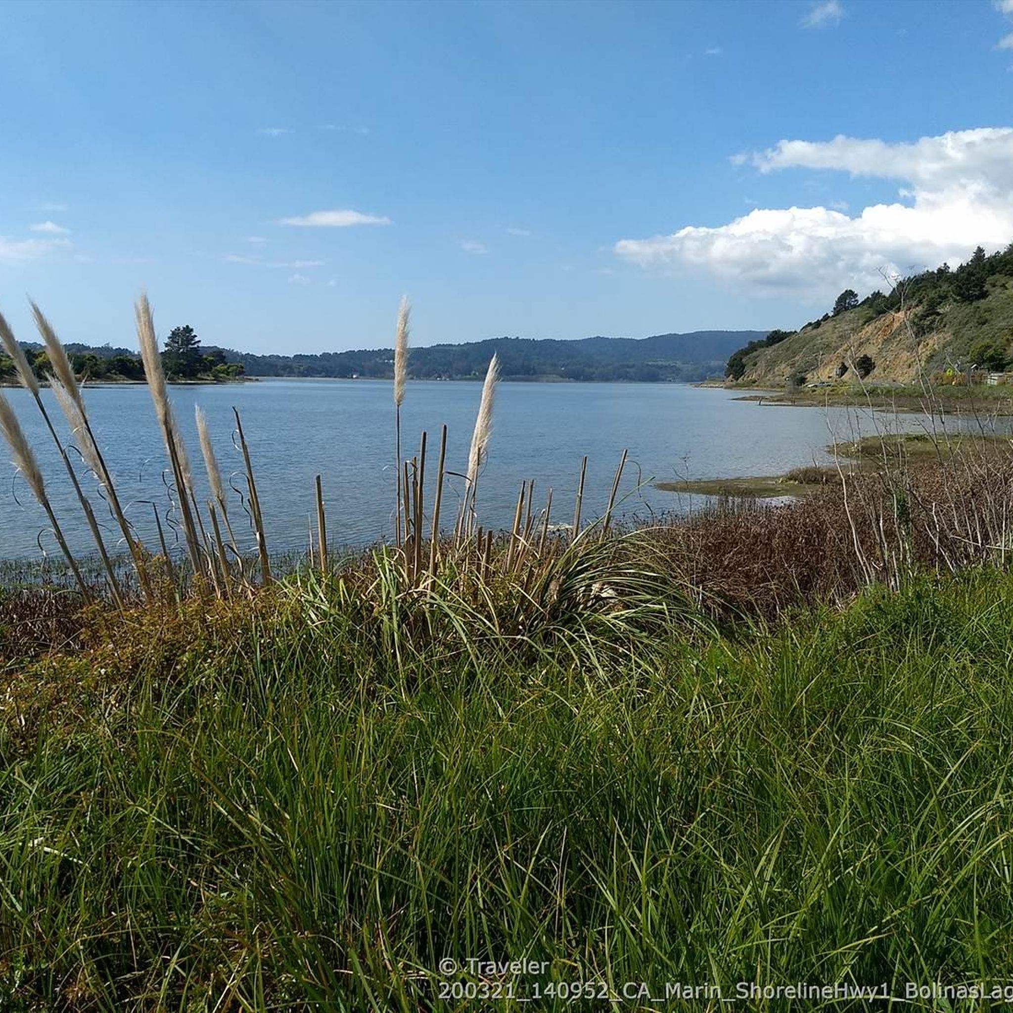
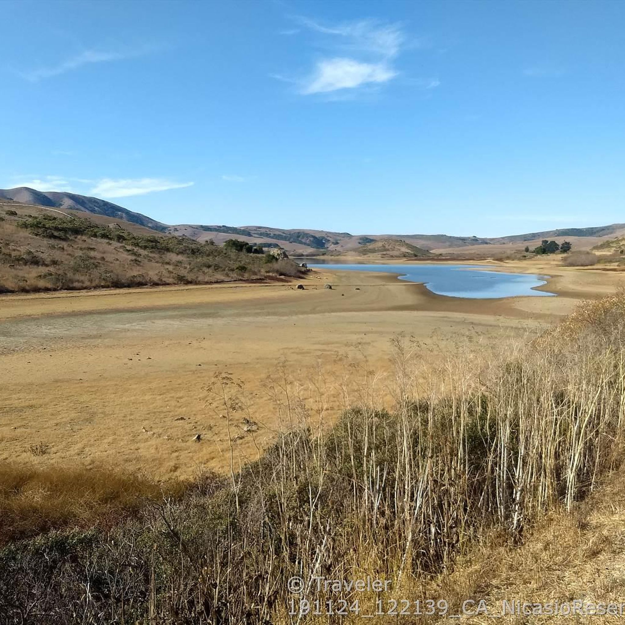
Tips from the Community

Steep heading West can have traffic on SFD
0
0

Big Rock Ridge, a striking ridge near Novato, California, standing as Marin County's second-tallest peak. Spanning 5 miles from northwest to east, it creates a natural boundary for central and southern Marin County. Named after the rock at the base of Big Rock Trail, this ridge promises awe-inspiring views and invigorating trails.
0
0

Big Rock Trail cuts through Lucas Valley Open Space to reach the 2nd highest point in Marin County. From later winter through early summer the hills are verdant green and often covered in wildflowers. Bring plenty of water and a wide brimmed hat if it's a warm day as there is little shade, but this means the views are wide open and beautiful.
1
0

Highest point on Big Rock Ridge Fire Road with panoramic views of the Bay, Marin county, and even across the East bay to Mt. Diablo and south to San Francisco. A short spur trail here leads to a point with slightly better views down over Skywalker Ranch and the Lucas Valley.
0
0
Highest point between Fairfax and San Geronimo, the saddle was originally cut for the train in the 19th century, later widened for the highway. Can be busy but has a wide bike lane.
1
0
Short steep climb from the South, more gradual from the north, to an overlook of the San Geronimo valley.
0
0
A steep 400 meter (1300 feet) climb to the highest point in the park (426 m / 1407 ft), with views of the Seashore and Olema Valley. The loop passes through a mixed Douglas fir and oak forest and several open meadows. Start at the Bear Valley Trailhead and follow the Bear Valley Trail south for 0.3 km (0.2 mi.). Turn right on to the Mt. Wittenberg Trail and climb all the way to the top. https://www.nps.gov/pore/planyourvisit/hiking_guide.htm
3
0
Tucked next door to George Lucas's Skywalker Ranch, Lucas Valley Open Space protects 1,271 acres of verdant land and some of the season's most electrifying green hills. It's also home to the second highest point in Marin, reached via a 3.5-mile (one-way) hike. Big Rock Trail leads hikers and mountain bikers to its namesake ridge and a high point of 1,895 feet (an elevation second only to Mount Tam). There's no parking lot or visitor center signaling the trailhead, just a pull-off at the crest of Lucas Valley Road. Then it's onward (or, more like upward), weaving along singletrack that offers a bird's-eye view of Skywalker Ranch, along with seasonal flowers like blue-eyed grass, pink checkerbloom, and buttercups. The last half-mile is a ridge ramble with the high point marked by two antennas. The antennas aren't beautiful, but the views are, spanning from Mount St. Helena to Montara Mountain. The Tiburon Peninsula looks like a finger pointing into the Bay. From Hwy. 101 in Marin, exit Lucas Valley Rd and go about 5 miles west. The road crests at the "big rock." Keep going west and find a safe place to turn around, then park on the side of Lucas Valley Rd. Take Big Rock Trail heading north up to Big Rock Ridge. Elevation gains around 1200-1400ft Hike time 3-4 hours http://www.marincountyparks.org/Depts/PK/Divisions/Open-Space/Lucas-Valley
1
1
Frequently Asked Questions
What are some of the most notable mountain peaks and ridges in the Nicasio area?
The Nicasio area features several prominent hills and ridges offering scenic beauty. Key highlights include Mount Wittenberg Trail, known for its steep climb and views of the Seashore and Olema Valley, and Big Rock Ridge, which provides panoramic views of the Bay, Marin County, and even Mt. Diablo. Another significant point is White Hill Summit on Sir Francis Drake Boulevard, the highest point between Fairfax and San Geronimo.
Are there good hiking opportunities around Nicasio's peaks?
Yes, Nicasio offers abundant hiking opportunities. For a challenging climb, consider the Mount Wittenberg Trail, which involves a 400-meter ascent to the park's highest point. The Big Rock Trail also leads to a ridge summit with expansive views. You can find more hiking options in the Hiking around Nicasio guide, which includes routes like the moderate Bolinas Ridge Loop and the easy Stairstep Falls Trail.
What kind of views can I expect from Nicasio's mountain peaks?
The peaks and ridges around Nicasio offer diverse and rewarding views. From Big Rock Ridge, you can enjoy panoramic vistas of the Bay, Marin County, Mt. Diablo, and even San Francisco. A short spur trail there also provides views over Skywalker Ranch. Mount Wittenberg Trail offers views of the Seashore and Olema Valley, while Moon Hill Summit provides an overlook of the San Geronimo valley.
Are there any family-friendly trails or peaks in the Nicasio area?
While specific 'family-friendly' categories aren't listed for all peaks, the region offers varied terrain. For easier walks, consider exploring parts of Samuel P. Taylor State Park, which borders Nicasio and features redwood groves. The Hiking around Nicasio guide lists routes like the easy Stairstep Falls Trail and Cross Marin Trail to Kent Lake, which might be suitable for families.
What is the best time of year to hike the peaks around Nicasio?
The Nicasio area is beautiful year-round, but for vibrant scenery, consider visiting from later winter through early summer. During this period, the hills are verdant green and often covered in wildflowers, particularly along trails like the Big Rock Trail. Be aware that some trails, especially those with little shade, can be warm on sunny days, so bring plenty of water.
Can I go cycling or mountain biking near Nicasio's peaks?
Yes, the Nicasio area is popular for cycling and mountain biking. The Cycling around Nicasio guide features routes like the moderate Nicasio Reservoir loop. For road cycling, the Road Cycling Routes around Nicasio guide includes the Hicks Valley Road Loop and routes connecting to Fairfax and Sausalito.
What natural features define the Nicasio landscape beyond its peaks?
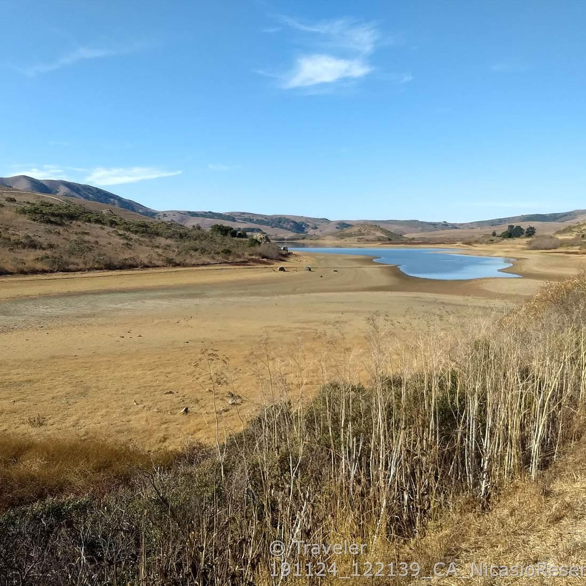
Beyond its notable peaks and ridges, Nicasio is characterized by a picturesque landscape of forested and open ridgelines encircling a broad, rolling valley. The region features a mix of oak, bay, and fir trees, along with stands of redwoods, particularly in nearby Samuel P. Taylor State Park. The Nicasio Reservoir is also a prominent natural feature, with Black Mountain nearby.
Are there any historical or cultural points of interest related to the peaks?
While the Nicasio area is primarily known for its natural beauty, some points have historical significance. For instance, the saddle at White Hill Summit on Sir Francis Drake Boulevard was originally cut for a train in the 19th century before being widened for the highway. The region's rural character and historic ranches also contribute to its unique charm.
What is the highest elevation in the Nicasio area?
The highest elevation in the Nicasio area reaches approximately 428 meters (1,404 feet). Specifically, the Mount Wittenberg Trail leads to the highest point in its park at 426 meters (1,407 feet).
What do visitors enjoy most about the mountain peaks around Nicasio?
Visitors appreciate the unspoiled rural atmosphere and natural beauty of West Marin County. The mountain peaks offer a variety of experiences, from challenging climbs with expansive views to scenic viewpoints overlooking valleys and the Bay. The komoot community has shared 21 photos and given 9 upvotes, highlighting the visual appeal and rewarding nature of these trails.
How long do hikes to Nicasio's peaks typically take?
Hike durations vary depending on the specific trail and your pace. For example, the Big Rock Trail to the ridge summit is approximately 3.5 miles one-way and can take 3-4 hours to complete, with elevation gains around 1200-1400 feet. Shorter, easier routes are also available, so it's best to check individual trail details for estimated times.
Are there any specific tips for hiking the Big Rock Ridge area?
When hiking Big Rock Ridge or the Big Rock Trail, be prepared for little shade, especially on warm days. It's essential to bring plenty of water and a wide-brimmed hat. The views are wide open and beautiful, spanning from Mount St. Helena to Montara Mountain. The trailhead for Big Rock Trail is a pull-off at the crest of Lucas Valley Road, with no dedicated parking lot.
Most popular attractions around Nicasio

Get inspired with the komoot mobile app


Explore more
See even more amazing summits around Nicasio with these guides:
