The 5 Most Amazing Peaks around Marano Di Valpolicella
Best mountain peaks around Marano Di Valpolicella are characterized by a hilly landscape dominated by terraced vineyards and olive groves, rather than towering summits. Elevated areas and viewpoints offer panoramic vistas, historical significance, and engaging hiking opportunities. These locations are recognized for their natural beauty, cultural heritage, and the unique experiences they provide. The region offers numerous opportunities for hiking through cultivated terrain, ancient ruins, and traditional hamlets.
Best mountain peaks around Marano Di Valpolicella
- The most popular mountain peaks…
Last updated: July 2, 2026
View of Santuario Madonna della Corona
Highlight • Viewpoint
Translated by Google •
Tip by

Corno d'Aquilio
Highlight • Summit
Translated by Google •
Tip by

Sign up now to discover places like this
Get recommendations on the best single tracks, peaks, & plenty of other exciting outdoor places.
Sign up for free
Fosse Summit Sign
Highlight • Summit
Translated by Google •
Tip by

Monte Pastello Loop Hike
Highlight (Segment) • Trail
Translated by Google •
Tip by

View of Monte Baldo
Highlight • Viewpoint
Translated by Google •
Tip by

Sign up for free to discover even more peaks around Marano Di Valpolicella.
Sign up for free
Already have an account?
Start today with a free account
Your next adventure awaits.
Login or Signup
Tips from the Community


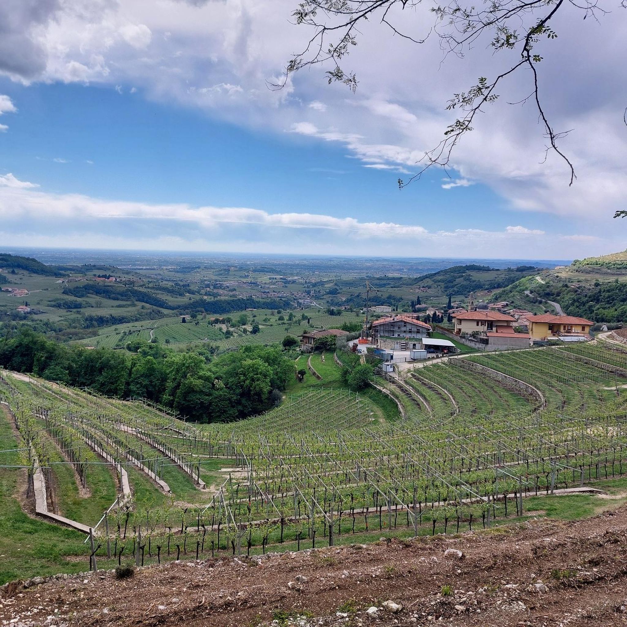
Tibetan flag at the entrance to admire the view from the cross
0
0

At 1,545 meters high, Corno d'Aquilino is one of the most famous peaks of the Lessini Mountains, above Verona. It borders Valpolicella to the north and its name seems to derive from the Latin "aquilus", meaning dark. On one of its slopes, it boasts one of the deepest karst abysses in the world, almost 1,000 meters.
0
0

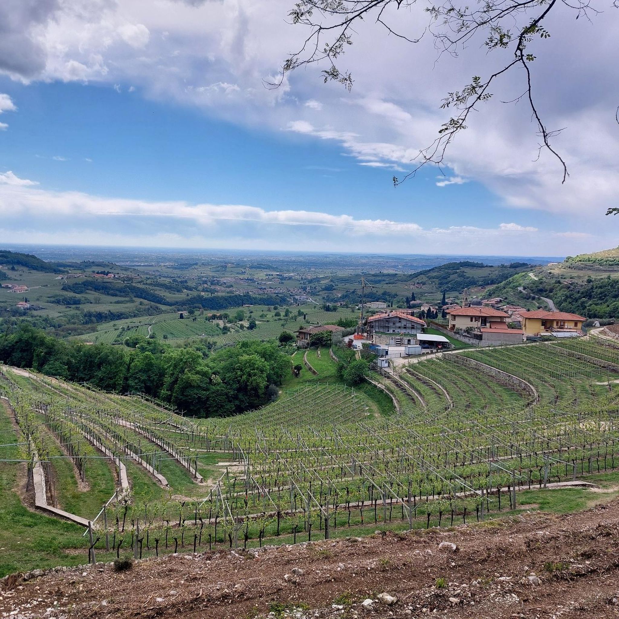
The last bend is missing and you have completed the climb to Peri Fosse (unfortunately the gradient shows no signs of decreasing on this last bend, on the contrary!)
0
0

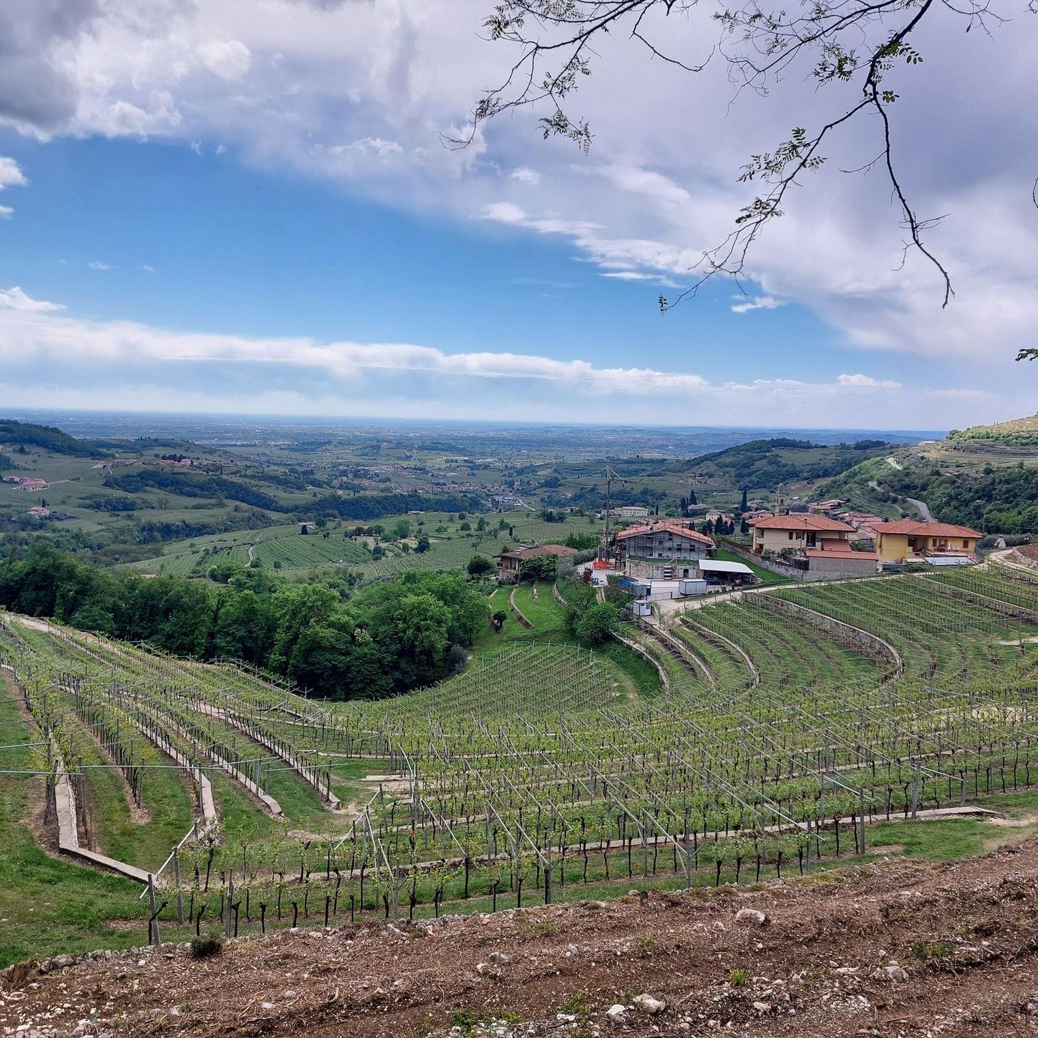
Modest peak in Sant'Anna d'Alfaedo, which however reserves more than one surprise. We are inside the regional natural park of Lessina, where in addition to the splendid panoramas nearby it is possible to visit the Grotta del Ciabattino.
0
0

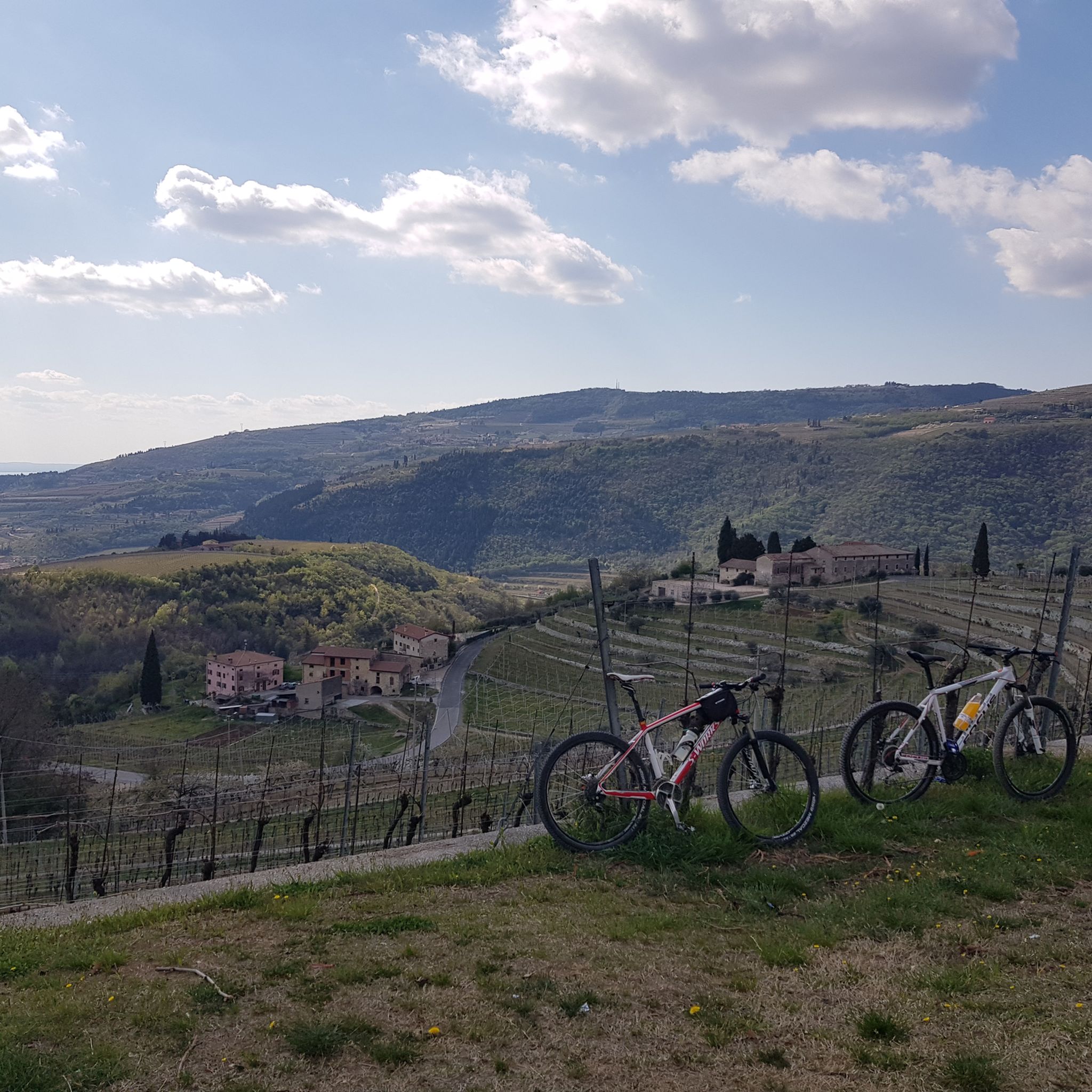
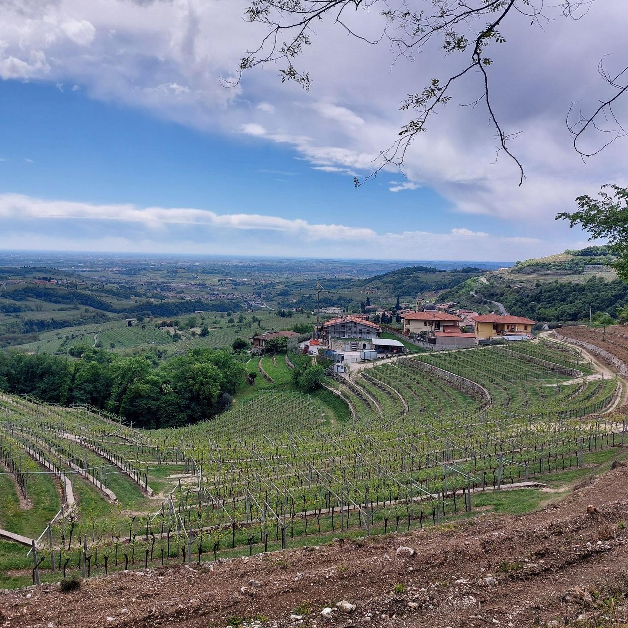
From the top the view is incredible: following with your gaze the valley floor and the meandering of the shining Adige, in the distance to the south-west, you can see the lower Lake Garda, to the west the Baldo group is completely visible (from the Costarella peak to Monte Altissimo di Nago) and to the north-east the Carega, in its gullies it is still abundantly snow-covered.
0
0

The climb is finally over 💪👍
0
1
Frequently Asked Questions
What are the most notable elevated areas or 'peaks' to visit in Marano di Valpolicella?
While Marano di Valpolicella is known for its hills and vineyards rather than towering peaks, Monte Castelon is a prominent elevated area offering significant historical sites and panoramic views. You can also find numerous elevated viewpoints throughout the region's vineyard and hillside trails.
What historical and cultural sites can I find on Monte Castelon?
Monte Castelon is rich in history. You can visit the Santuario di Santa Maria di Valverde, a sanctuary offering breathtaking views and built on ancient foundations. Nearby, the archaeological area of the Temple of Minerva reveals remains of a Roman-Hellenistic stone temple, indicating a much older site of veneration.
Are there good viewpoints to see the surrounding landscape and Lake Garda?
Yes, several spots offer expansive views. From the Santuario di Santa Maria di Valverde on Monte Castelon, you can see across the entire Marano valley, the Baldo Mountain Range, and even Lake Garda on clear days. Additionally, the View of Monte Baldo highlight provides a spectacular vista of the Baldo mountain range, and Corno d'Aquilio offers panoramic views of the Adige valley.
What kind of hiking opportunities are available in the elevated areas around Marano di Valpolicella?
The elevated areas around Marano di Valpolicella offer numerous hiking opportunities through vineyard and hillside trails. These routes often provide scenic views of cultivated landscapes, olive groves, cherry trees, and traditional hamlets. You can find trails that wind through undulating hills, showcasing the iconic Valpolicella vineyards.
What is the best time of year to hike or visit the elevated areas?
The region's elevated areas are ideal for exploration in spring and autumn. Spring brings spectacular flowering, such as peonies on the Monte Pastello Loop Hike, while autumn offers beautiful vineyard colors. The varying difficulty levels of trails cater to different fitness levels, making them accessible for many throughout these seasons.
Are there any family-friendly options for exploring the elevated areas?
Yes, many of the vineyard and hillside trails are suitable for families, offering a blend of nature and culture without extreme difficulty. The View of Santuario Madonna della Corona, while involving a climb, is a popular destination that can be a rewarding experience for families, especially if taking the historic Pilgrims' Path.
What other outdoor activities can I do near the mountain peaks of Marano di Valpolicella?
Beyond hiking, the region offers excellent opportunities for other outdoor activities. You can explore various hiking routes, go running, or enjoy mountain biking through the scenic Valpolicella landscape. Routes like the 'Wine road in Valpolicella — ring tour' or the 'Valpolicella: Temple of Minerva and Santa Maria Valverde Loop' are popular choices.
What do visitors enjoy most about the elevated areas around Marano di Valpolicella?
Visitors particularly enjoy the unique blend of natural beauty, historical depth, and spiritual tranquility. The expansive views of the Valpolicella vineyards, surrounding valleys, and distant Lake Garda are a major draw. The ancient ruins and sanctuaries, combined with the opportunity to hike through stunning wine country, create a memorable experience.
Is Monte Pugna a significant mountain peak for hiking in the region?
While 'Monte Pugna' is associated with the broader Valpolicella region, particularly in the context of wine production, it is not primarily known as a distinct peak for hiking or panoramic views in the same way as Monte Castelon within Marano di Valpolicella itself. Its name is more connected to the viticultural landscape.
Can I find circular walks or loop trails in the area?
Yes, there are several circular routes available. For instance, the Monte Pastello Loop Hike offers a round trip with spectacular views of the Val d'Adige and the plain. Many other trails winding through the vineyards and hills are also designed as loops, allowing you to experience diverse scenery.
What is the 'View of Santuario Madonna della Corona' highlight?
The View of Santuario Madonna della Corona is a popular viewpoint offering a wonderful perspective of the famous rock church of Madonna della Corona. This pilgrimage church is built directly into the rock face at 773 meters altitude. The complex can be reached via two routes, including the historic Pilgrims' Path.
What is Corno d'Aquilio and where is it located?
Corno d'Aquilio is a summit in Lessinia, located in the Province of Verona, marking the northern limit of Valpolicella. Standing at 1,545 meters high, it is known for its panoramic views of the Adige valley and is one of the most famous peaks of the Lessini Mountains.
Most popular routes around Marano Di Valpolicella
Most popular attractions around Marano Di Valpolicella

Get inspired with the komoot mobile app


Explore more
See even more amazing summits around Marano Di Valpolicella with these guides:
