The 6 Most Amazing Peaks around Mariglianella
Best mountain peaks around Mariglianella are found in the broader Campania region, as Mariglianella itself is situated in a plain with an elevation of 28 meters above sea level. The town's geography does not include significant mountainous terrain within its 3.2 square kilometers. However, the area is known for its proximity to notable mountains like Mount Vesuvius and the Lattari Mountains, which offer diverse features for exploration.
Best mountain peaks around Mariglianella
- The most popular mountain peaks is Crater of…
Last updated: July 2, 2026
Crater of Mount Vesuvius
Highlight • Volcano
Translated by Google •
Tip by

Cognoli Summit and Valle dell'Inferno
Highlight • Summit
Translated by Google •
Tip by

Sign up now to discover places like this
Get recommendations on the best single tracks, peaks, & plenty of other exciting outdoor places.
Sign up for free
Monte Somma Summit
Highlight • Summit
Translated by Google •
Tip by

Punta Nasone, Monte Somma – Trail no. 3, Parco Nazionale del Vesuvio
Highlight (Segment) • Summit
Translated by Google •
Tip by

View of Monte Felino
Highlight • Viewpoint
Translated by Google •
Tip by

Start today with a free account
Your next adventure awaits.
Login or Signup



Tips from the Community

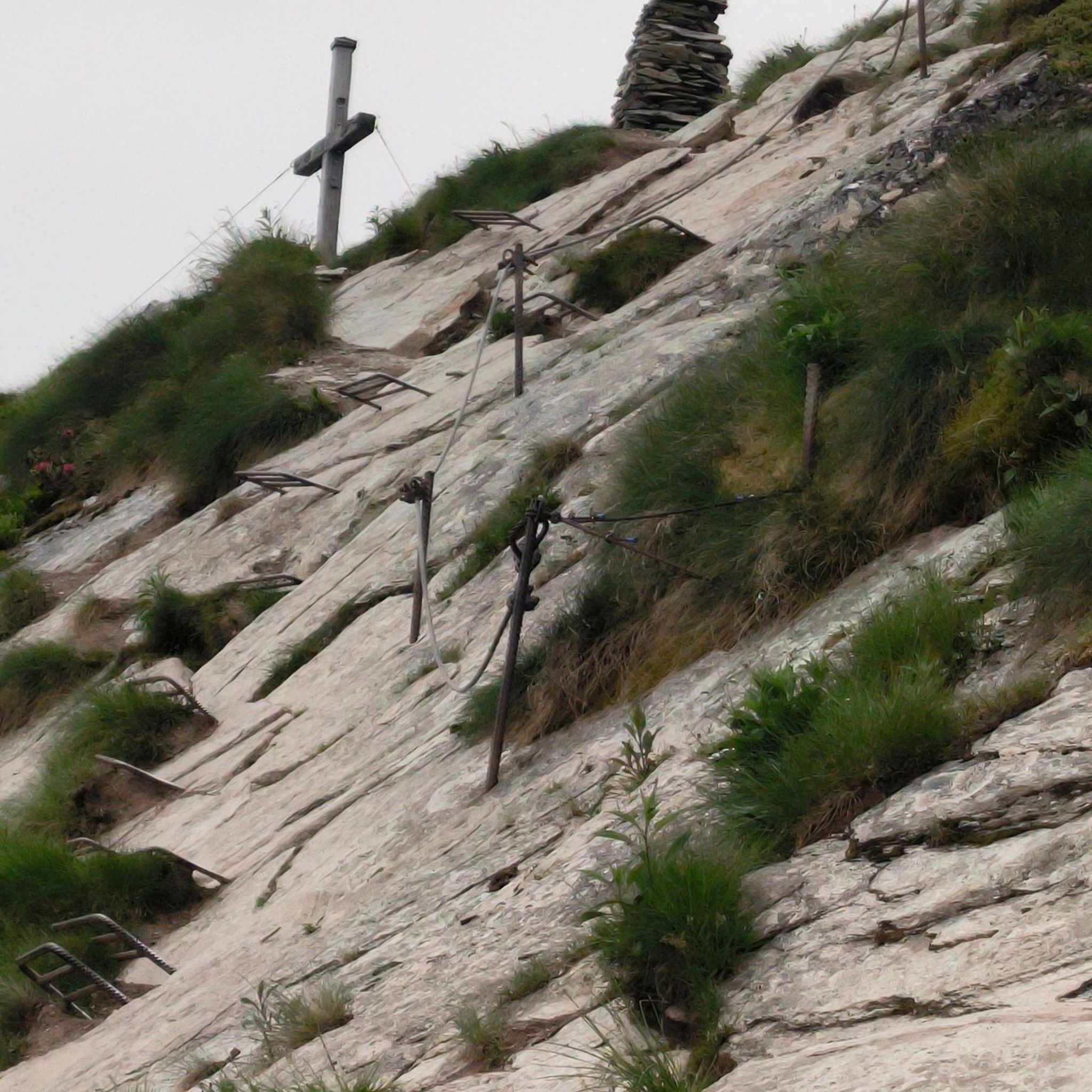
From here we understand how small the affairs of the world are compared to the immensity of nature.
0
0
Spectacular view of Vesuvius, the Islands, the Benevento Mountains. The effort is highly recommended.
1
0

The very panoramic itinerary allows you to enjoy the most suggestive and wild scenery of Somma-Vesuvius, crossing forest environments, scrubland up to bare lava rock. The starting point is located along the road that from the Medici Palace of Ottaviano continues towards the volcanic complex. A barrier prohibiting vehicular traffic marks the beginning of the route, the first stretch of the path, common with path no. 1, winds along asphalted hairpin bends, and then turns into a dirt path. The plant landscape consists initially of a thick pine forest of stone pine and then in a mesophilous forest, with essences such as chestnut, Neapolitan alder, Neapolitan maple, holm oak, black locust. Among the nesting birds, the minute lesser spotted woodpecker, rare and localized in Campania, has only recently colonized the Vesuvius Park. After more than 1 km of walking on a steep climb you reach Largo Angelo Prisco dedicated to the young financier murdered by poachers in 1995 which represents the closest destination. From the Largo, path no. 1 branches off to the left, while the itinerary continues on the right on a slight climb, entering, between twists and turns, into a shady chestnut grove where the numerous species of mushrooms present give off an intense and pleasant fragrance.
0
0

Route to Monte Somma from Santa Maria to Castello
0
0

Once you reach the bottom of the slope, you will find a barbed wire fence, which blocks your passage to continue on the dirt road, on your left there is an old ruin, immediately after, the fence is bent and will allow you to cross it to continue on a dirt road to continue the tour
0
0

The volcano symbol of the city of Naples, is still active, its last eruption dates back to 79 years ago.
0
0

Highest point, you can go down to the right by stone or to the left by talunico
0
0

Monte Felino, 668 m asl. Breathtaking 360 degree panorama.
18
0
Frequently Asked Questions
What are the most notable mountain peaks accessible from Mariglianella?
While Mariglianella itself is situated in a plain, the broader Campania region offers several significant peaks. The most prominent is the iconic Crater of Mount Vesuvius, an active volcano. Other notable summits include Monte Somma Summit and Cognoli Summit and Valle dell'Inferno, both part of the Vesuvius complex.
What kind of natural features can I expect to see on these peaks?
The peaks around Mariglianella, particularly those in the Vesuvius area, are characterized by volcanic landscapes. You'll find diverse environments ranging from thick pine forests and chestnut groves to scrubland and bare lava rock. Many trails offer panoramic views of the Vesuvian hinterland, the Bay of Naples, and surrounding islands.
What makes the Crater of Mount Vesuvius a popular destination?
The Crater of Mount Vesuvius is popular because it's an active volcano and a symbol of Naples. Visitors can drive most of the way up, with the final ascent to the crater edge requiring a climb. It offers an impressive and mystical hiking experience, though access to the crater requires a ticket.
What can I experience at Monte Somma Summit?
Monte Somma Summit offers trekking opportunities in one of the wildest areas of Vesuvius. Routes like the one from Santa Maria to Castello provide a chance to immerse yourself in nature and gain a perspective on the vastness of the natural landscape compared to human affairs.
Tell me about Cognoli Summit and Valle dell'Inferno.
The Cognoli Summit and Valle dell'Inferno offers a very panoramic itinerary. This path allows you to enjoy the suggestive and wild scenery of Somma-Vesuvius, crossing various forest environments. You can find thick pine forests, chestnut groves, and diverse flora, with opportunities to see nesting birds like the lesser spotted woodpecker.
Are there other significant summits in the Vesuvius area?
Yes, another significant summit is Punta Nasone, Monte Somma. It offers spectacular views of Vesuvius, the islands, and the Benevento Mountains, making the effort to reach it highly recommended.
Are there hiking opportunities near Mariglianella?
While Mariglianella itself is flat, the nearby Vesuvius complex provides numerous hiking opportunities. Trails range from intermediate to challenging, leading to summits like the Crater of Mount Vesuvius, Monte Somma Summit, and Cognoli Summit. Many routes offer stunning panoramic views and a chance to explore volcanic landscapes.
What are the difficulty levels of the mountain trails around Mariglianella?
The mountain trails in the Vesuvius area generally range from intermediate to challenging. For example, the ascent to the Crater of Mount Vesuvius is considered intermediate, while routes to Monte Somma Summit and Punta Nasone are often challenging due to steeper sections or longer distances.
What outdoor activities are available besides hiking near these peaks?
Beyond hiking, the region around Mariglianella offers various outdoor activities. You can find numerous MTB trails, running trails, and road cycling routes. These routes explore the diverse landscapes of the Campania region, offering options for different fitness levels and interests.
What is the best time of year to visit the mountain peaks near Mariglianella?
The best time to visit the mountain peaks in the Campania region, including Vesuvius, is typically during the spring (April to June) and autumn (September to October). During these months, the weather is generally mild and pleasant for hiking, avoiding the intense heat of summer and the colder, potentially wetter conditions of winter.
How can I access the mountain peaks from Mariglianella?
Access to the mountain peaks, particularly Mount Vesuvius, is primarily by car. You can drive to designated parking areas near the trailheads. For the Crater of Mount Vesuvius, you can drive quite far up, with the final ascent on foot. Public transport options might be limited, so checking local bus schedules to key access points is advisable if not traveling by car.
What do visitors enjoy most about the mountain peaks around Mariglianella?
Visitors frequently appreciate the breathtaking panoramic views from the summits, especially those overlooking the Bay of Naples and the Vesuvian hinterland. The unique volcanic landscapes, diverse forest environments, and the sense of exploring an active natural monument like Vesuvius are also highly valued experiences.
Most popular attractions around Mariglianella

Get inspired with the komoot mobile app


Explore more
See even more amazing summits around Mariglianella with these guides:
