The best road cycling routes around Holsfjorden
23
riders
3
rides
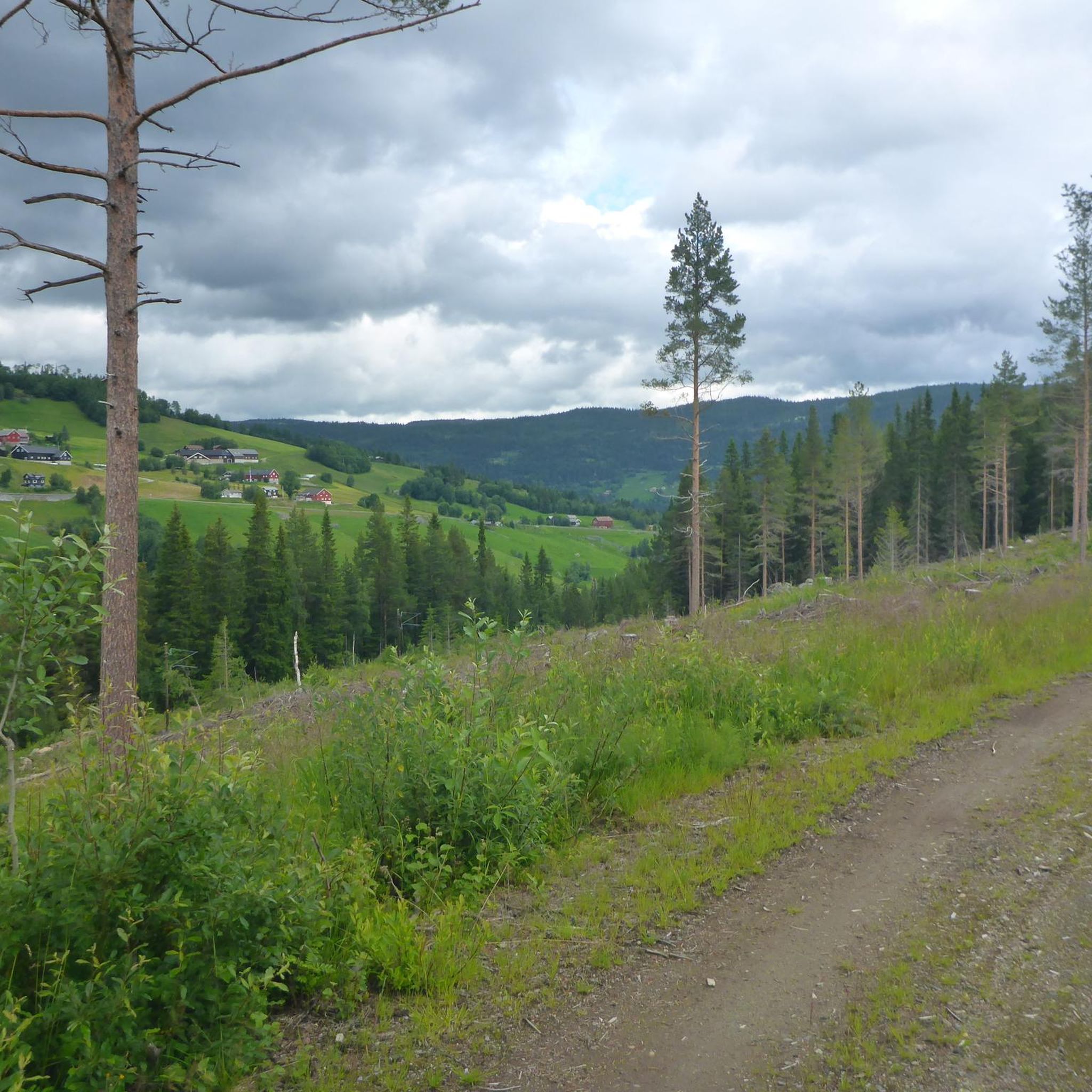
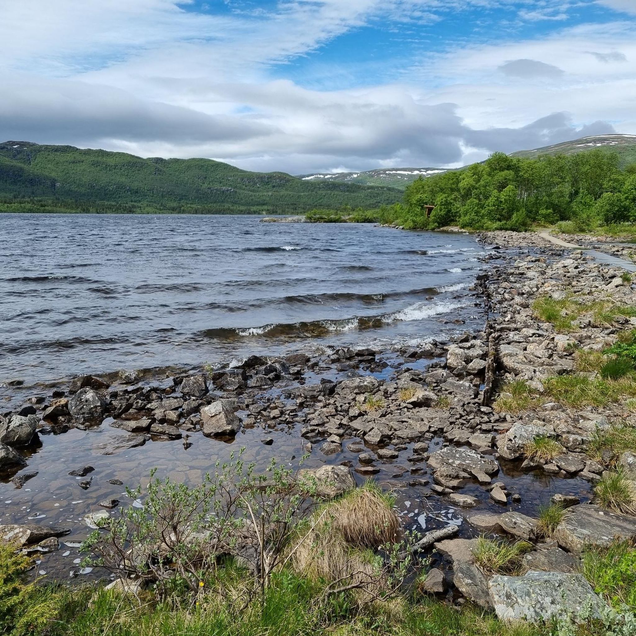
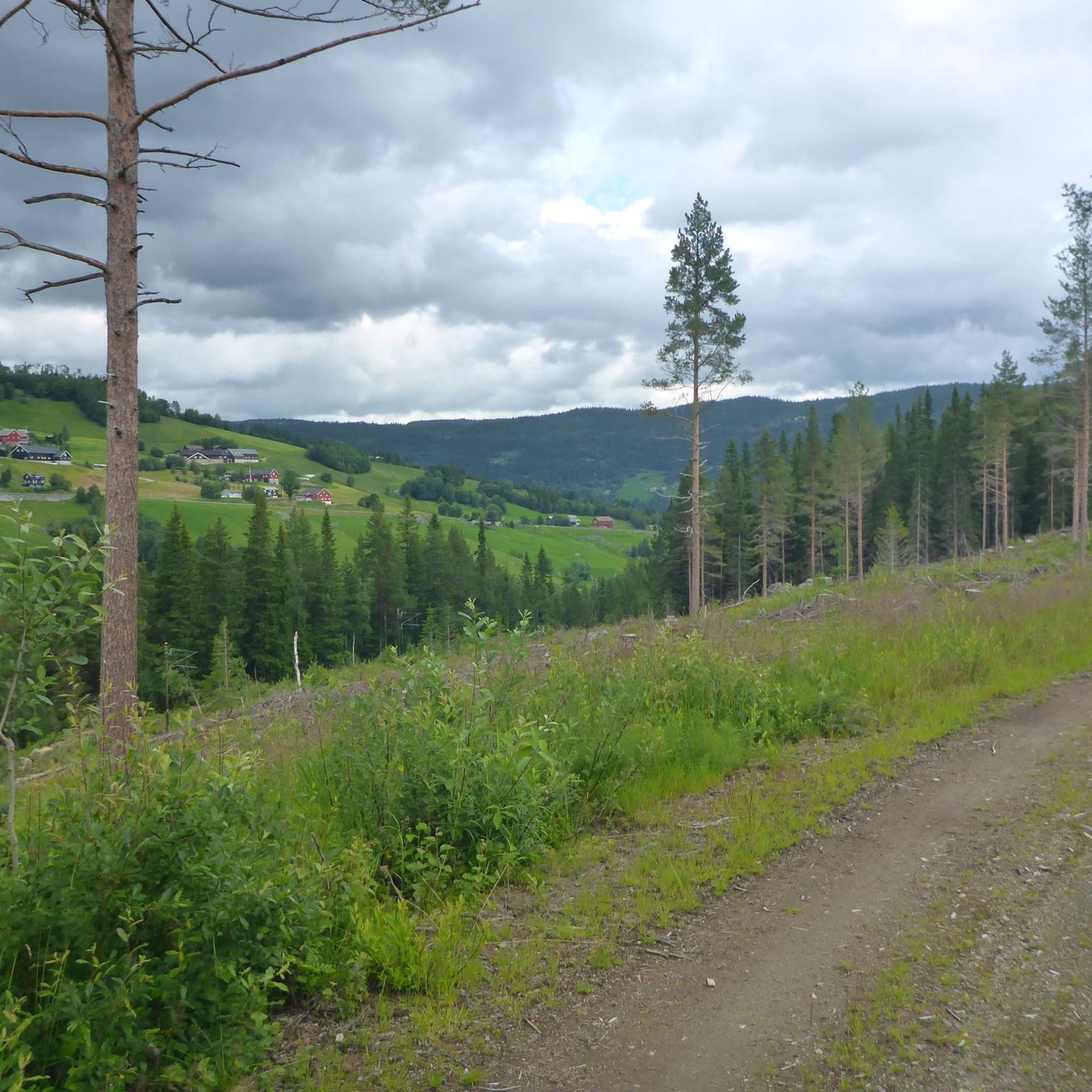
Road cycling around Holsfjorden offers diverse terrain within Norway's fjord landscape. The region features steep, wooded hillsides, narrow valleys, and mountains, providing varied backdrops for cycling. Cyclists can expect a mix of relatively flat sections and challenging inclines, traversing lush deciduous and pine forests. This varied topography contributes to a dynamic cycling experience.
Best road cycling routes around Holsfjorden
- The most popular road cycling route is Slåttahølen – Huldreskogen loop from Geilomoen, a 15.7 miles (25.3 km) trail that…
Last updated: June 30, 2026
15
riders
23.9km
01:46
340m
340m
Moderate road ride. Good fitness required. Some segments of this route may be unpaved and difficult to ride.
2
riders
34.6km
01:57
570m
580m
Moderate road ride. Good fitness required. Mostly well-paved surfaces and easy to ride.

Sign up for free
4
riders
90.8km
06:54
1,600m
1,600m
Hard road ride. Very good fitness required. Some segments of this route may be unpaved and difficult to ride.
2
riders
62.4km
03:49
1,040m
1,040m
Hard road ride. Very good fitness required. Some segments of this route may be unpaved and difficult to ride.
Our route recommendations are based on thousands of hikes, rides, and runs completed by other people on komoot.
Start today with a free account
Your next adventure awaits.
Login or Signup
Popular around Holsfjorden
Tips from the Community

This gravel road tops out at around 600 m (1,970 ft) and has a really good surface – well-packed gravel that’s easy to roll. Perfect for enjoying the open views without worrying about technical riding.
1
0

Wooden bridge over the Hallingdal River. The river is quite wild here!
0
0
Train station in Geilo. The Bergen / Oslo train runs here. Stops en route: Sandvika, Asker, Drammen, Hokksund, Vikersund, Hønefoss, Nesbyen, Gol, Ål, Ustaoset, Haugastøl, Finse, Hallingskeid, Myrdal (transfer option to the Flåm Railway), Upsete, Mjølfjell and Voss.
0
0

Great for gravel cycling from Oslo to Geilo (or opposite direction). Away from traffice, goes through fantastic woods).
0
0
Geilo is a nice mountain commune with shops, restaurants and camping
0
0

Nice bridge and good connection across the end of Strandafjord.
0
0

Between Brufoll and Fagerli there is a beautiful, remote off-road gravel route on the other side of the Skurdalsfjorden.
2
0
Super nice little road, almost flat and away from traffic.
2
0
Frequently Asked Questions
What kind of terrain can I expect on road cycling routes around Holsfjorden?
The Holsfjorden region offers a diverse range of terrain for road cycling. You'll encounter steep, wooded hillsides, narrow valleys, and mountains, providing a varied backdrop. Routes feature a mix of relatively flat sections and challenging inclines, traversing lush deciduous and pine forests, ensuring a dynamic cycling experience.
Are there road cycling routes suitable for beginners or those seeking an easier ride?
While some routes feature significant elevation gain, the Holsfjorden area also offers easier bike rides on mostly paved surfaces, suitable for various skill levels. These allow cyclists to enjoy the stunning scenery without overly challenging climbs. For example, the Slåttahølen – Huldreskogen loop from Geilomoen is a moderate route that winds through varied terrain.
Which routes offer a more challenging road cycling experience with significant elevation?
For experienced cyclists seeking a challenge, routes with significant elevation gain are available. The Hagafossen – Tingvollane loop from Geilotjørne is a difficult 92 km trail with over 1600 meters of ascent, leading through the fjord landscape. Another option is the Highland Bakery loop from Geilo, a moderate route with over 570 meters of elevation gain.
What are some natural features or landmarks I might see while cycling in Holsfjorden?
The Holsfjorden area is rich in natural beauty. You'll cycle through lush deciduous forests, pine forests, and wetlands. The region is part of Norway's dramatic fjord landscape, surrounded by steep hillsides and mountains. While specific named waterfalls are not detailed directly on Holsfjorden, the broader region is known for spectacular waterfalls, and the general scenery promises picturesque views.
Are there any cultural or historical points of interest along the cycling routes?
Yes, the area around Holsfjorden offers cultural stops. You might encounter historical sites like Hol Old Church. Additionally, some cycling routes pass by local farms engaged in cheese production, offering a glimpse into traditional Norwegian food culture. You can learn more about Norwegian cheese production on Visit Norway's website.
What is the best time of year for road cycling in Holsfjorden?
The best time for road cycling in Holsfjorden generally aligns with the warmer months when roads are clear of snow and ice. Late spring through early autumn typically offers the most favorable weather conditions for exploring the region's diverse terrain.
Are there any loop routes available for road cycling in Holsfjorden?
Yes, several loop routes are available, allowing you to start and end your ride in the same location. Examples include the Slåttahølen – Huldreskogen loop from Geilomoen and the Highland Bakery loop from Geilo. For a longer challenge, consider the Hagafossen – Tingvollane loop from Ål.
Can I find cafes or accommodation near the road cycling routes in Holsfjorden?
The towns and villages around Holsfjorden, such as Geilo and Ål, offer amenities for cyclists including cafes, pubs, and accommodation options. These are often conveniently located near the starting points or along popular cycling routes, providing opportunities for breaks and overnight stays.
Is public transport available to access road cycling routes in Holsfjorden?
Public transport options exist to reach the Holsfjorden region and its surrounding areas, which can help in accessing various cycling routes. It's advisable to check local bus or train schedules for specific routes and their proximity to cycling starting points.
Are there specific parking facilities for cyclists at the trailheads?
While specific dedicated parking facilities for cyclists at every trailhead are not detailed, parking is generally available in the towns and villages that serve as common starting points for routes, such as Geilo and Ål. It's recommended to check local parking information for your chosen starting location.
What is the typical length and elevation gain for road cycling routes in Holsfjorden?
Route lengths and elevation gains vary significantly. You can find moderate routes like the Slåttahølen – Huldreskogen loop from Geilomoen, which is about 25 km with 365 meters of ascent. More challenging options, such as the Hagafossen – Tingvollane loop from Geilotjørne, can be over 90 km long with more than 1600 meters of elevation gain.
Are there any specific regulations or permits required for cycling in the Holsfjorden area?
Generally, no specific permits are required for road cycling on public roads in Norway. However, it's always good practice to respect local regulations, especially concerning private land or protected areas. Always follow traffic laws and be mindful of other road users.

Get inspired with the komoot mobile app


Explore more
Browse the best Road cycling routes in other regions.
