The best walks and hikes around Fardumeträsk
4.9
(8)
39
hikers
5
hikes
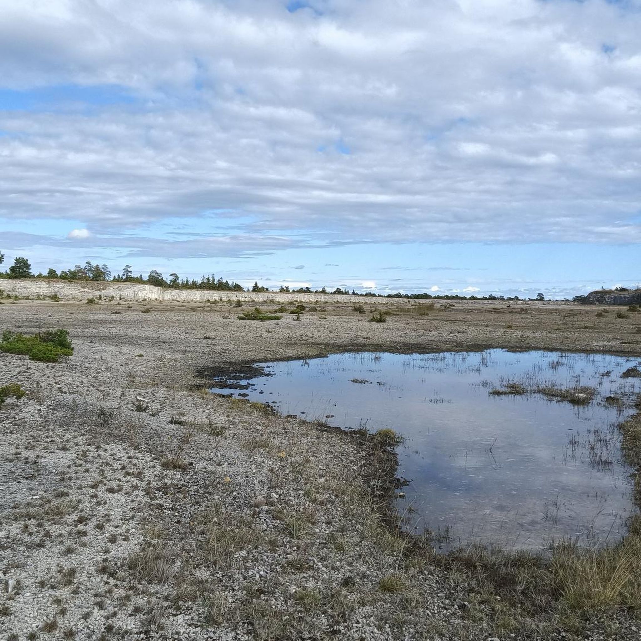
Hiking around Fardumeträsk offers exploration of a unique high moor, a rare natural feature on Gotland, alongside the island's diverse landscapes. The region is characterized by the bird-rich Fardumeträsk lake, surrounded by flat to gently rolling terrain that includes coastlines, forests, and farmland. Hikers can experience the distinctive calcareous waters and sediment banks, providing varied natural scenery.
Best hiking trails around Fardumeträsk
- The most popular hiking route is Hiking loop from Hideviken, a 4.3 miles (6.9 km) trail that…
Last updated: July 1, 2026
1
hikers
6.94km
01:47
30m
30m
Easy hike. Great for any fitness level. Easily-accessible paths. Suitable for all skill levels.
4.8
(6)
28
hikers
Moderate hike. Good fitness required. Easily-accessible paths. Suitable for all skill levels.

Sign up for free
5.0
(1)
3
hikers
5.79km
01:30
30m
30m
Easy hike. Great for any fitness level. Easily-accessible paths. Suitable for all skill levels.
2
hikers
10.2km
02:37
40m
40m
Moderate hike. Good fitness required. Easily-accessible paths. Suitable for all skill levels.
5.0
(1)
5
hikers
2.04km
00:31
10m
10m
Easy hike. Great for any fitness level. Easily-accessible paths. Suitable for all skill levels.
Our route recommendations are based on thousands of hikes, rides, and runs completed by other people on komoot.
Start today with a free account
Your next adventure awaits.
Login or Signup


Tips from the Community


Frequently Asked Questions
What kind of terrain can I expect when hiking around Fardumeträsk?
The Fardumeträsk area, located on Gotland, features generally flat to gently rolling terrain. You'll encounter diverse landscapes including unique high moors, which are rare for Gotland's calcareous environment, alongside forests, pastoral farmland, and coastal paths. The lake itself is known for its calcareous waters and impressive sediment banks.
Are there any easy hiking routes suitable for beginners or casual walkers?
Yes, there are several easy routes. For instance, the Hiking loop from Hideviken is an easy 4.3-mile (6.9 km) trail offering coastal views. Another easy option is the Birdwatching Tower at Furilden loop from Furilden, which is about 1.3 miles (2 km) long.
What is the best time of year to go hiking in Fardumeträsk?
Gotland offers pleasant hiking conditions throughout much of the year. Spring and autumn are ideal for birdwatching due to migration. Summer provides warmer weather for exploring the diverse landscapes, while the unique high moor and varied terrain can be appreciated in different seasons. Always check local conditions before heading out.
Can I bring my dog on the hiking trails around Fardumeträsk?
Sweden's 'Allemansrätten' (Freedom to Roam) generally allows dogs in nature, but they must be kept on a leash, especially in nature reserves and during certain times of the year to protect wildlife. Fardumeträsk is a bird-rich area, so keeping dogs leashed is particularly important to avoid disturbing nesting birds.
Are there any circular hiking routes available?
Yes, several routes are designed as loops. Examples include the Hiking loop from Hideviken, the Birdwatching Tower at Furilden – Furillen Island loop from Furilden, and the Hiking loop from Furillen. These allow you to start and end at the same point.
What unique natural features can I observe while hiking in this region?
Fardumeträsk is notable for its unique high moor, a rare ecosystem on Gotland, supporting unusual plant species. The lake is also a significant bird-rich area, offering excellent birdwatching opportunities. You can also observe the distinctive sediment banks formed by the lake's calcareous waters.
Are there any historical or cultural sites near the hiking trails?
At the northern end of Fardumeträsk, you can find the medieval stone houses of Fardume Slott, which offer a historical point of interest. Gotland itself is rich in archaeological sites, such as stone ship graves and ancient ruins, and medieval churches, many of which can be integrated into hiking itineraries across the island.
What do other hikers say about the trails in Fardumeträsk?
The routes in Fardumeträsk are highly rated by the komoot community, with an average score of 4.9 stars from 8 reviews. Hikers often appreciate the diverse landscapes, from coastal views to unique natural features like the high moor, and the opportunities for birdwatching.
Is public transport available to reach the Fardumeträsk hiking areas?
While Gotland has a public transport system, direct access to all trailheads around Fardumeträsk might be limited. It's advisable to check local bus schedules for routes serving the Fardume area or nearby towns. Many visitors opt for personal vehicles or bicycles to explore the island's more remote natural areas.
Are there places to eat or stay near Fardumeträsk?
The Fardumeträsk area is part of Gotland's rural landscape. While specific cafes or pubs directly adjacent to the lake might be limited, nearby villages and towns on Gotland offer various accommodation options, restaurants, and cafes. Valleviken, for example, is a nearby area that may offer amenities.
Are there any permits required for hiking in Fardumeträsk nature reserves?
Generally, Sweden's 'Allemansrätten' (Freedom to Roam) allows free access to most natural areas. However, specific nature reserves might have regulations regarding camping, fires, or access to sensitive areas, especially during bird breeding seasons. It's always good practice to look for local signage or information boards at reserve entrances.
How many hiking trails are available in the Fardumeträsk region?
Komoot currently lists 5 hiking routes around Fardumeträsk, offering a range of options from easy strolls to moderate excursions. These routes allow you to explore the diverse natural features of the area.
Most popular routes around Fardumeträsk

Get inspired with the komoot mobile app


Explore more
Browse the best Hikes in other regions.
