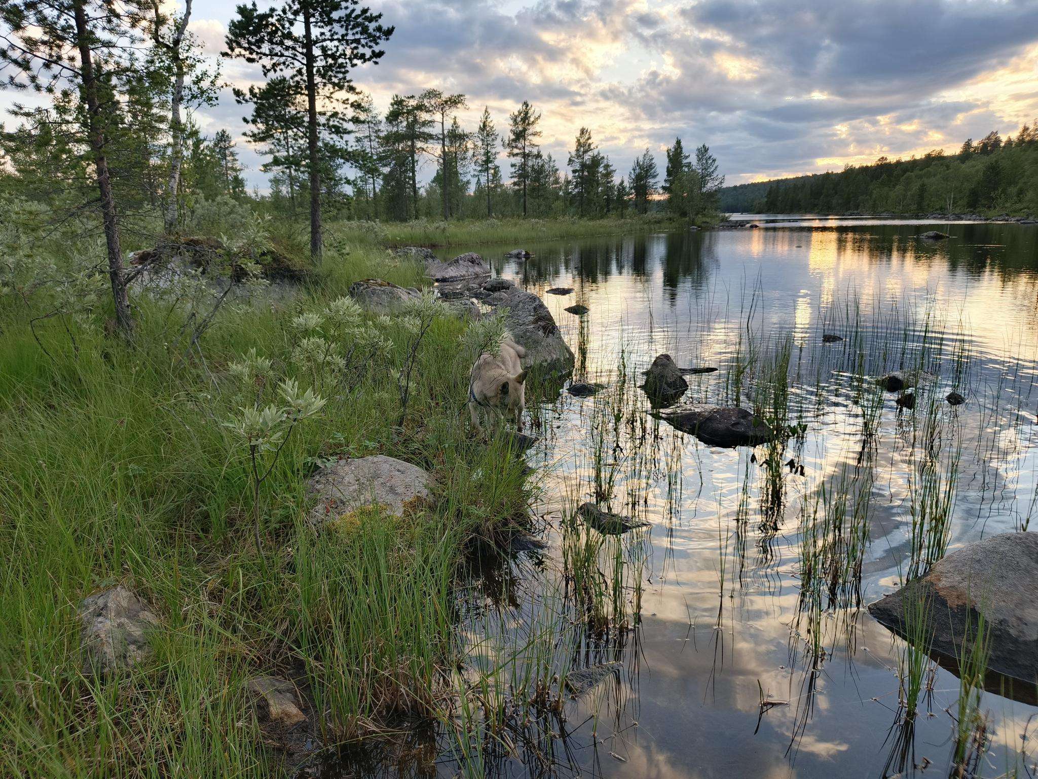
The best running trails around the Tuloma
37
runners
4
runs
Jogging around the Tuloma region features a mix of urban and peri-urban landscapes, offering varied terrain for runners. The area includes routes with moderate elevation changes, indicating undulating paths rather than flat stretches. Green spaces and city panoramas are common along the running trails, providing diverse scenery. These running routes cater to different fitness levels, from easy loops to more challenging moderate runs.
Best jogging routes around the Tuloma
- The most popular jogging route is Зелёный мыс – Панорама города…
Last updated: May 19, 2026
19
runners
10.9km
01:11
150m
150m
Moderate run. Good fitness required. Mostly paved surfaces. Suitable for all skill levels.
13
runners
8.46km
01:00
160m
160m
Moderate run. Good fitness required. Mostly paved surfaces. Suitable for all skill levels.

Sign up for free
3
runners
8.87km
00:56
80m
80m
Moderate run. Good fitness required. Mostly paved surfaces. Suitable for all skill levels.
2
runners
7.97km
00:50
70m
60m
Moderate run. Good fitness required. Mostly paved surfaces. Suitable for all skill levels.
Our route recommendations are based on thousands of hikes, rides, and runs completed by other people on komoot.
Start today with a free account
Your next adventure awaits.
Login or Signup
Frequently Asked Questions
How many running routes are available in the Tuloma region?
The Tuloma region, which encompasses the diverse landscapes of Tuolumne County, offers 5 dedicated running routes on komoot. These routes provide a range of experiences, from easy jogs to more challenging runs through varied terrain.
Are there easy running routes suitable for beginners in Tuolumne County?
Yes, there is one easy running route perfect for beginners or those looking for a relaxed jog. The Running loop from Pervomaysky Administrative Okrug is an easy 2.6-mile (4.3 km) trail with gentle elevation gain, taking about 30 minutes to complete.
What kind of terrain can I expect on jogging trails in the Tuloma area?
Jogging routes in the Tuloma area feature a mix of urban and peri-urban landscapes. You can expect undulating paths with moderate elevation changes, rather than entirely flat stretches. Many routes offer views of green spaces and city panoramas, providing diverse scenery for your run.
Are there any running routes with scenic viewpoints in the region?
Absolutely! The Зелёный мыс – Панорама города loop from Мурманск is a popular choice, offering panoramic city views along its moderate 6.7-mile (10.8 km) path. This route provides excellent opportunities to enjoy the surrounding landscape while you run.
Can I find circular running routes in Tuolumne County?
Yes, all the running routes listed for the Tuloma region are circular loops. This means you'll start and finish at the same point, making logistics easier. Examples include the Running loop from Pervomaysky Administrative Okrug and the Варничное loop from Pervomaysky Administrative Okrug.
Are there longer distance running options for more experienced runners?
For those seeking a longer challenge, the Зелёный мыс – Панорама города loop from Мурманск is a moderate 6.7-mile (10.8 km) route. Another good option is the Варничное loop from Pervomaysky Administrative Okrug, which covers 5.7 miles (9.1 km) through varied terrain.
What are some notable natural features or attractions near the running trails?
While specific attractions aren't directly on every trail, the broader Tuolumne County region is known for its stunning natural beauty, including parts of Yosemite National Park. You might find yourself near areas like Tenaya Lake or the diverse landscapes of Tuolumne Meadows, which offer breathtaking scenery for outdoor activities.
Are there any moderate difficulty running trails for intermediate joggers?
Yes, the majority of running routes in the Tuloma region are classified as moderate. These include the Зелёный мыс – Панорама города loop from Мурманск, Варничное loop from Pervomaysky Administrative Okrug, Кротовая loop from Мурмаши, and Студенческий сквер loop from Murmansk, all offering a good workout with varied elevation.
What is the typical elevation gain on these running routes?
The running routes in the Tuloma area feature moderate elevation changes. For instance, the easy Running loop from Pervomaysky Administrative Okrug has an elevation gain of about 92 meters, while moderate routes like the Варничное loop from Pervomaysky Administrative Okrug can have around 172 meters of ascent, providing a good challenge.
How long do these running trails typically take to complete?
The duration varies depending on the route and your pace. An easy route like the Running loop from Pervomaysky Administrative Okrug takes approximately 30 minutes. Moderate routes, such as the Зелёный мыс – Панорама города loop from Мурманск, typically require around 1 hour and 10 minutes to complete.
Are there any running routes that pass through urban green spaces?
Yes, jogging around the Tuloma region is characterized by routes that often incorporate urban green spaces and city-adjacent paths. This allows runners to enjoy natural surroundings while remaining close to urban amenities. The Студенческий сквер loop from Murmansk is a good example of a route that offers a mix of urban and green environments.

Get inspired with the komoot mobile app


