The best mountain hikes in Λευκά Όρη Ανατολικού Σελίνου Και Σφακίων
4.4
(21)
101
hikers
5
hikes
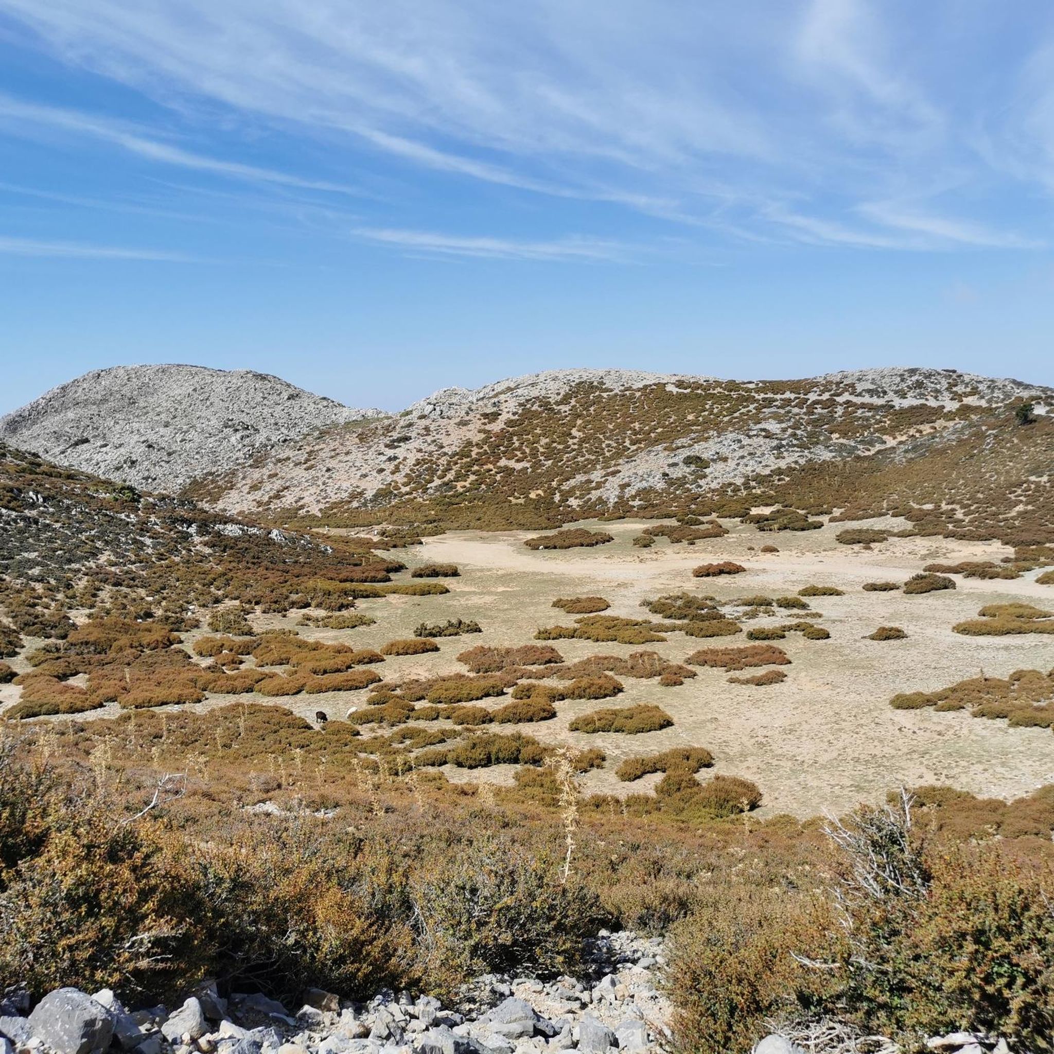
Mountaineering routes in Λευκά Όρη Ανατολικού Σελίνου Και Σφακίων traverse a rugged and extensive mountain range in Western Crete, known as the White Mountains or "Madaras." This region features approximately 58 peaks exceeding 2,000 meters, including Pachnes at 2,453 meters. The landscape is characterized by a vast karst field with numerous dolines and deep gorges, alongside a unique "mountain desert" plateau at 1,800 to 2,100 meters. These mountains offer challenging terrain for experienced mountaineers.
Best mountaineering routes in Λευκά Όρη Ανατολικού Σελίνου Και Σφακίων
- The most popular mountaineering route is Junction to Gigilos Summit – Gigilos Peak loop from ΞΥΛΟΣΚΑΛΟ, a 5.5 miles (8.8 km) trail that takes 5 hours 7 minutes to complete. This difficult route leads to the summit of Gigilos Peak, offering expansive views.
- Another top favourite among local mountaineers is Samaria Gorge – Samaria Gorge loop from ΞΥΛΟΣΚΑΛΟ, a difficult 13.5 miles (21.7 km) path. This route descends through Europe's longest gorge, showcasing dramatic cliffs and unique flora.
- Local mountaineers also love the Mountaineering loop from Omalos, an 8.1 miles (13.0 km) trail leading through the Omalos plateau, often completed in about 4 hours 23 minutes.
- Mountaineering in Λευκά Όρη Ανατολικού Σελίνου Και Σφακίων is defined by rugged peaks, deep gorges, and high karst plateaus. The network offers options for different ability levels, from moderate loops to challenging summit ascents.
- The routes in Λευκά Όρη Ανατολικού Σελίνου Και Σφακίων are highly rated by the komoot community with an average score of 4.4 stars from over 10 reviews. More than 80 mountaineers have used komoot to explore Λευκά Όρη Ανατολικού Σελίνου Και Σφακίων's varied terrain.
Last updated: August 21, 2026
4.6
(10)
42
hikers
8.82km
05:07
830m
830m
Hard mountaineering route. Very good fitness required. Sure-footedness, sturdy shoes and alpine experience required.
3.8
(5)
40
hikers
22.0km
07:35
1,140m
1,140m
Hard mountaineering route. Very good fitness required. Easily-accessible paths. Suitable for all skill levels.

Sign up for free
4.0
(2)
9
hikers
7.24km
02:30
380m
380m
Moderate mountaineering route. Good fitness required. Easily-accessible paths. Suitable for all skill levels.
5.0
(2)
5
hikers
5.24km
02:43
340m
340m
Hard mountaineering route. Good fitness required. Sure-footedness, sturdy shoes and alpine experience required.
4.5
(2)
5
hikers
13.0km
04:23
610m
610m
Moderate mountaineering route. Good fitness required. Easily-accessible paths. Suitable for all skill levels.
Our route recommendations are based on thousands of hikes, rides, and runs completed by other people on komoot.
Start today with a free account
Your next adventure awaits.
Login or Signup
Popular around Λευκά Όρη Ανατολικού Σελίνου Και Σφακίων
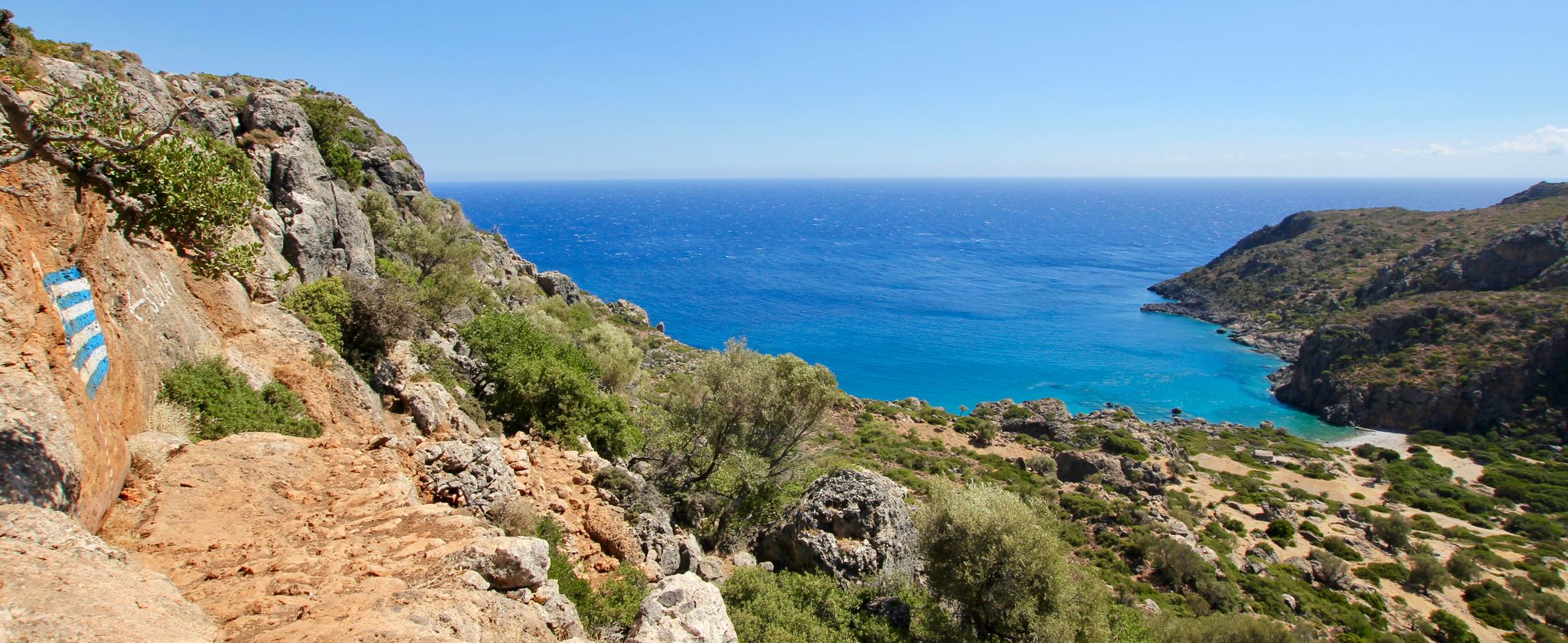
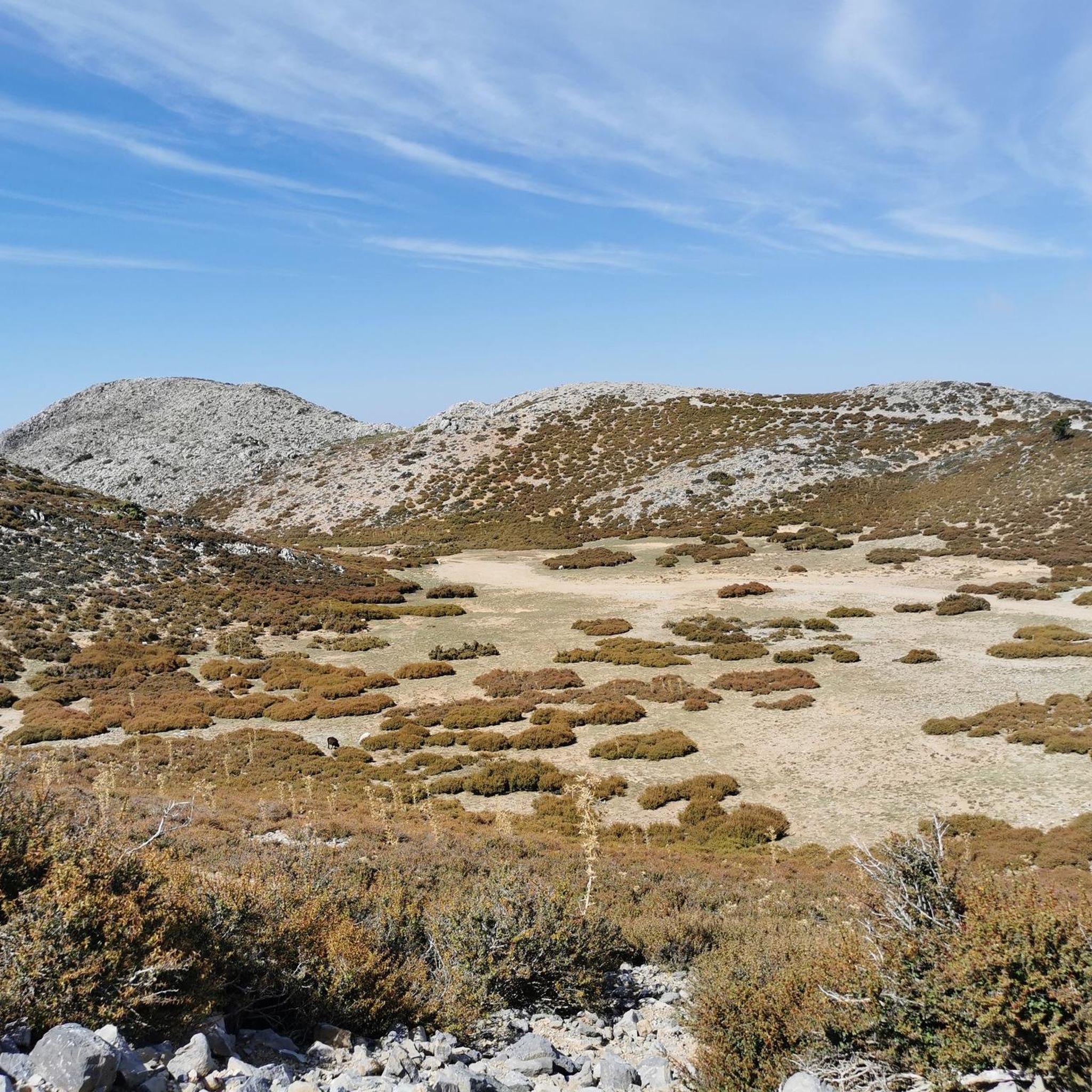
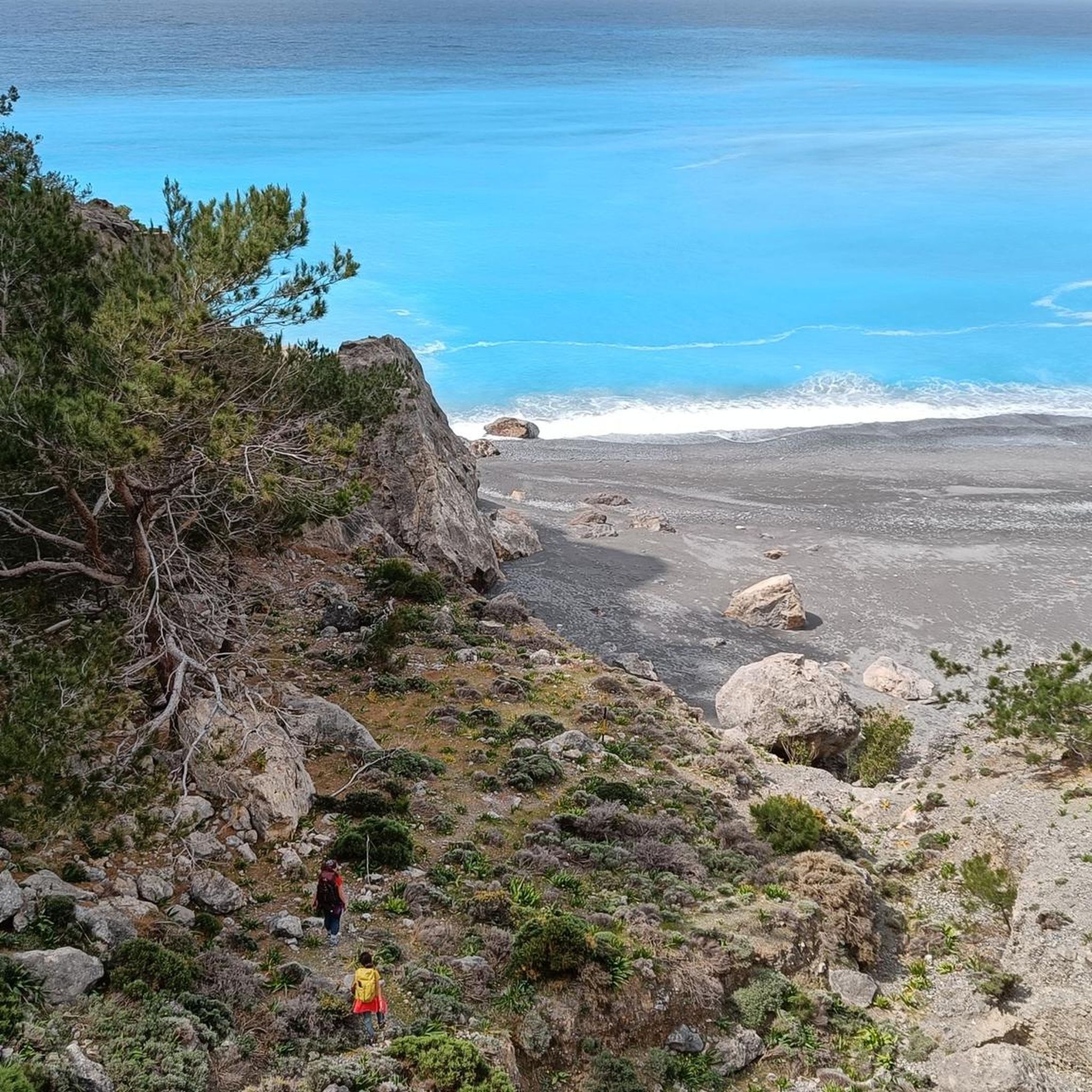
Other adventures in Λευκά Όρη Ανατολικού Σελίνου Και Σφακίων

Tips from the Community

Narrowest point of the Samaria Gorge
1
0
in the lower part the Samaria Gorge gets narrower
1
0
Small chapel in the Samaria Gorge
2
0
From the car park, it goes into the Samaria Gorge
2
0
from the parking lot the path starts into the Samaria Gorge
2
0
From the car park into the Samaria Gorge
2
1

the tour to Gigilos is super well signposted and offers fantastic views
0
0
The tour to the Gigilos is super signposted and offers fantastic views
1
0
Frequently Asked Questions
How many mountaineering routes are available in Λευκά Όρη Ανατολικού Σελίνου Και Σφακίων?
Based on komoot data, there are 5 mountaineering routes detailed in this guide. These routes traverse the rugged terrain of the White Mountains, offering experiences from moderate loops to challenging summit ascents.
What kind of terrain can I expect on mountaineering routes in the White Mountains?
The White Mountains, or Lefka Ori, are characterized by a vast karst landscape with numerous dolines, caves, and dramatic gorges. You'll encounter rugged peaks, including approximately 58 exceeding 2,000 meters, and a unique 'mountain desert' plateau at 1,800 to 2,100 meters, which is a treeless, stony expanse surrounded by cone-shaped peaks.
Are there any moderate mountaineering routes suitable for those with less experience?
Yes, while many routes are challenging, there are moderate options. For instance, the Mountaineering loop from ΞΥΛΟΣΚΑΛΟ is a moderate 7.1 km trail that can be completed in about 2 hours 27 minutes. Another moderate option is the Mountaineering loop from Omalos, which is longer at 13 km but offers a less strenuous ascent.
What are some of the most challenging mountaineering routes in the region?
For experienced mountaineers seeking a challenge, the Junction to Gigilos Summit – Gigilos Peak loop from ΞΥΛΟΣΚΑΛΟ is a difficult 8.8 km route leading to the summit of Gigilos Peak. Another demanding option is the Samaria Gorge – Samaria Gorge loop from ΞΥΛΟΣΚΑΛΟ, a difficult 21.7 km path descending through Europe's longest gorge.
Are there any circular mountaineering routes available?
Yes, several routes in the White Mountains are circular. The Junction to Gigilos Summit – Gigilos Peak loop from ΞΥΛΟΣΚΑΛΟ offers a challenging circular ascent. For a moderate option, consider the Mountaineering loop from ΞΥΛΟΣΚΑΛΟ, which provides a scenic circular experience.
What interesting landmarks or natural features can I see along these routes?
The region is rich in natural beauty. You can explore the dramatic Xyloskalo Descent — Samaria Gorge National Park, or the impressive Agia Irini Gorge. For summit views, the Gingilos Peak offers magnificent panoramas. You might also encounter unique natural monuments like the Old plane tree in the Irini Gorge.
Are there mountain refuges available for multi-day treks?
Yes, the White Mountains are equipped with several mountain refuges to support multi-day treks. Notable ones include the organized Kallergi Hut near Omalos, as well as Volikas Keramion, Tavris Askifou Sfakion, and the 'Christos Houliopoulos' refuge in Svourichti. These can provide essential shelter for those exploring the more remote parts of the mountains.
What do other mountaineers enjoy most about the White Mountains?
The mountaineering routes in Λευκά Όρη Ανατολικού Σελίνου Και Σφακίων are highly rated by the komoot community, with an average score of 4.4 stars from over 19 reviews. Reviewers often praise the challenging yet rewarding terrain, the dramatic gorges, and the expansive, unique landscapes, particularly the 'mountain desert' and panoramic views from the peaks.
Is there a route that explores the Agia Irini Gorge?
Yes, the Taverna Porofargo – Entrance to the Gorge loop from Agia Irini is a difficult 5.2 km route that takes you towards the entrance of the Agia Irini Gorge, allowing you to experience its dramatic beauty.
What is the best time of year for mountaineering in the White Mountains?
The best time for mountaineering in the White Mountains is generally from late spring to early autumn (May to October). During these months, the weather is more stable, and snow has typically melted from the higher elevations, making routes more accessible. Always check local weather forecasts before heading out, as conditions can change rapidly in the mountains.
Are there any routes that offer views of the 'mountain desert' plateau?
Many of the higher-altitude routes in the White Mountains will offer glimpses or traverse parts of the unique 'mountain desert' plateau. This treeless, stony expanse, located at 1,800 to 2,100 meters, is surrounded by numerous bare, cone-shaped peaks, creating an otherworldly landscape unique in the Northern Hemisphere. Routes ascending to major peaks like Pachnes or Gigilos would provide the best opportunity to experience this feature.
Most popular routes in Λευκά Όρη Ανατολικού Σελίνου Και Σφακίων
Most popular attractions in Λευκά Όρη Ανατολικού Σελίνου Και Σφακίων

Get inspired with the komoot mobile app


Explore more
Browse the best Mountain Hikes & Routes in other regions.
