The best MTB trails in Grimsdalen Landskapsvernområde
5.0
(1)
55
riders
6
rides
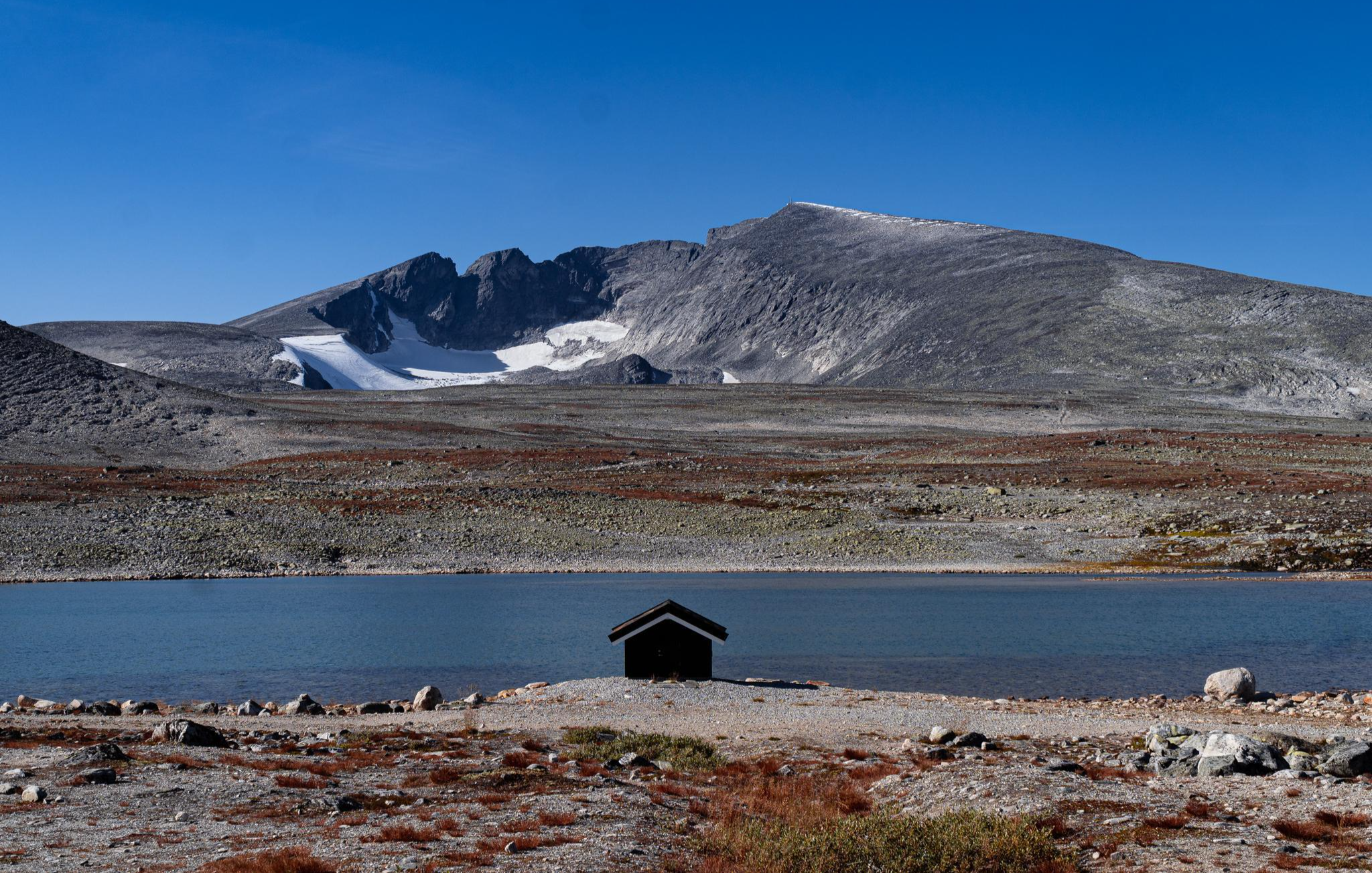
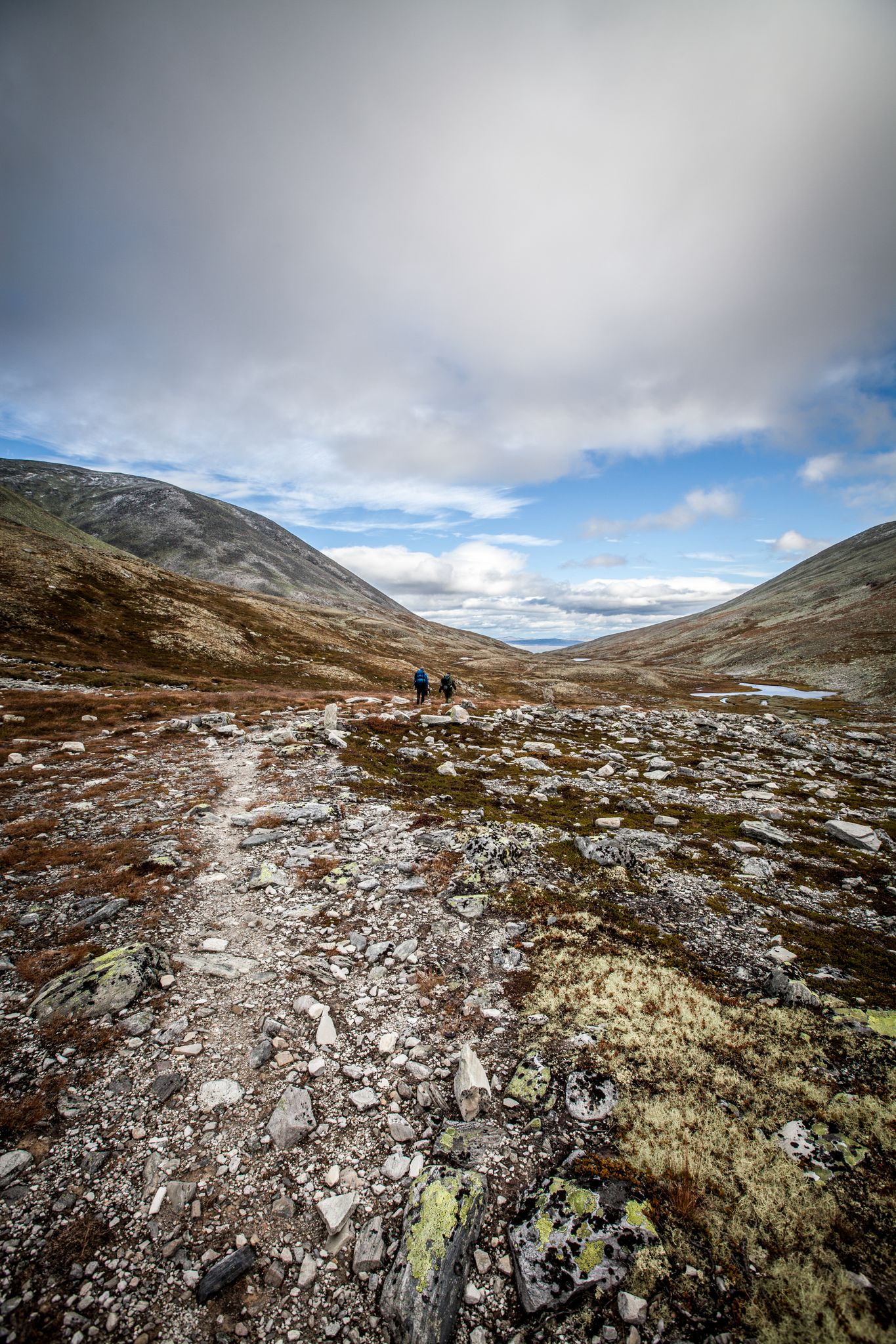
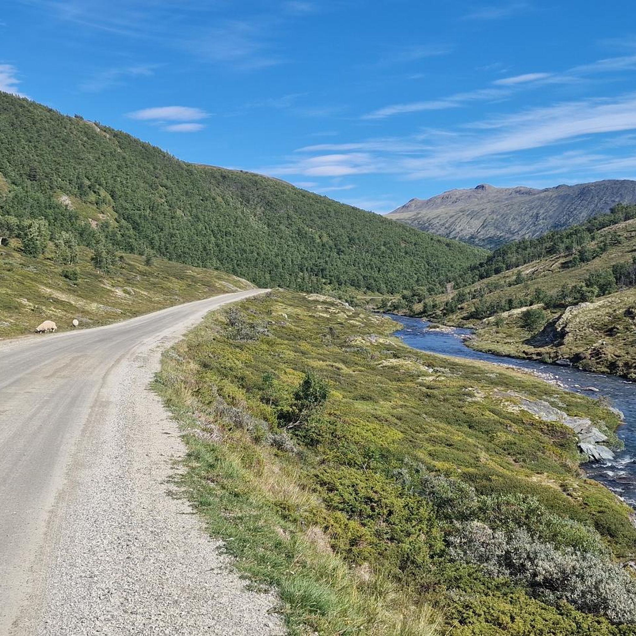
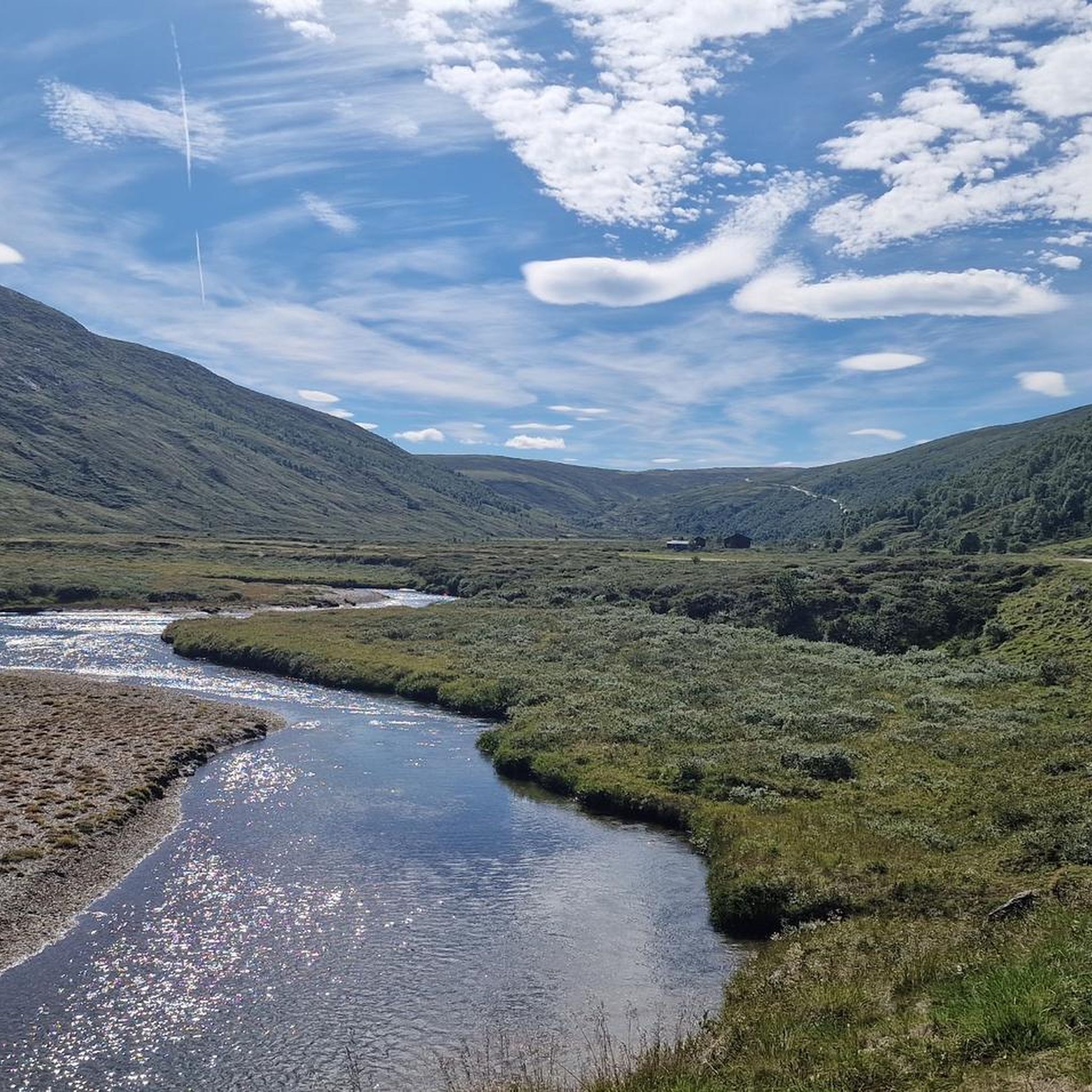
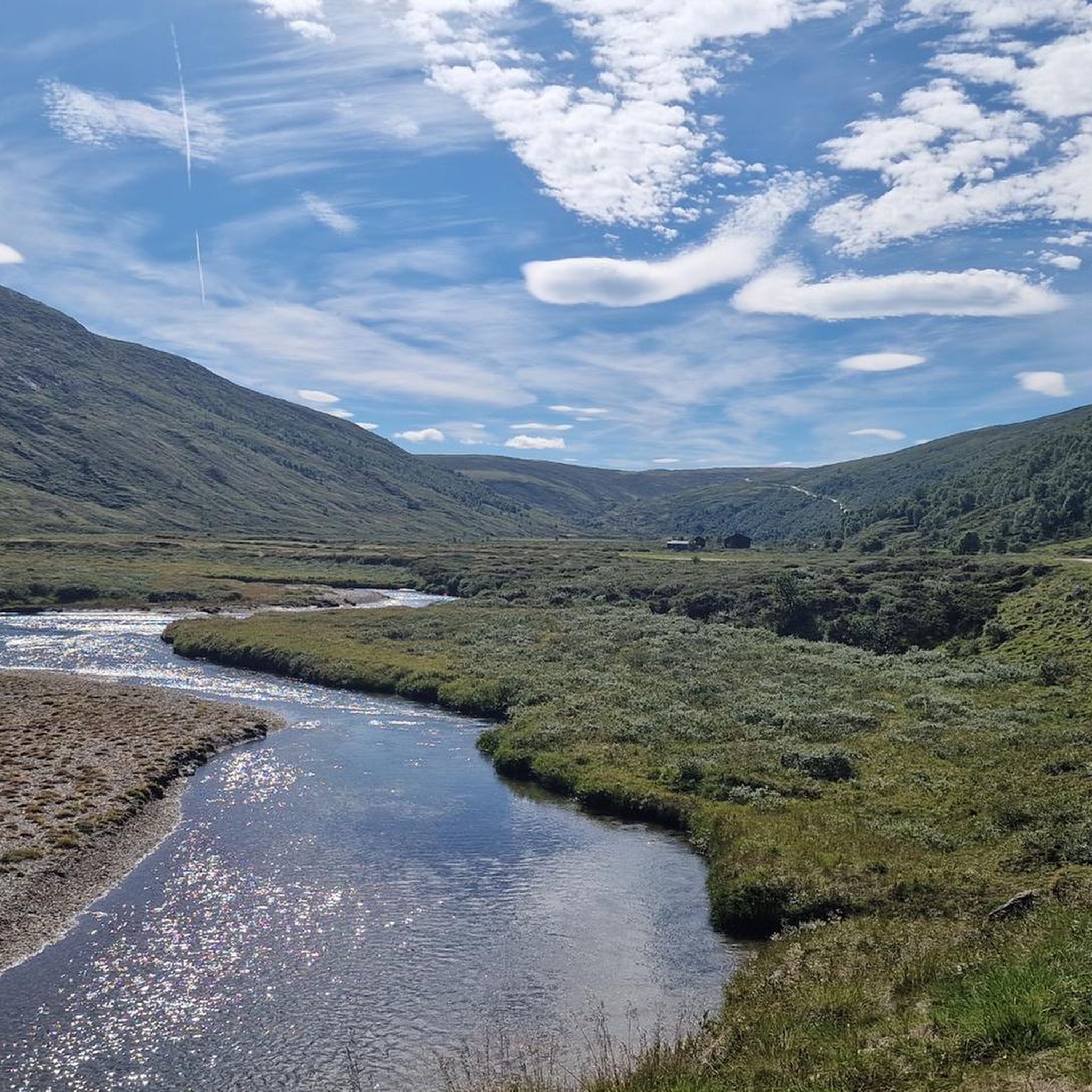
Mountain biking in Grimsdalen Landskapsvernområde offers routes through a protected landscape characterized by wide mountain valleys, alpine terrain, and open plateaus. The region features a mix of gravel roads and singletrack, providing varied surfaces for mountain bikers. Elevation changes are present, with routes navigating through the natural contours of the Norwegian mountains.
Best mountain bike trails in Grimsdalen Landskapsvernområde
- The most popular mountain bike trail is Nosi – DNT Grimsdalshytta loop from Fallet, a 24.5 miles (39.4 km) trail…
Last updated: July 1, 2026
5.0
(1)
9
riders
39.4km
03:19
290m
290m
Moderate mountain bike ride. Good fitness required. Suitable for all skill levels.
4
riders
30.1km
02:40
350m
350m
Moderate mountain bike ride. Good fitness required. Advanced riding skills necessary.

Sign up for free
Hard mountain bike ride. Good fitness required. Advanced riding skills necessary. Some portions of the route may require you to push your bike.
4
riders
13.2km
01:12
280m
280m
Moderate mountain bike ride. Great for any fitness level. Advanced riding skills necessary.
20
riders
130km
10:25
1,630m
1,630m
Hard mountain bike ride. Very good fitness required. Suitable for all skill levels.
Our route recommendations are based on thousands of hikes, rides, and runs completed by other people on komoot.
Start today with a free account
Your next adventure awaits.
Login or Signup
Popular around Grimsdalen Landskapsvernområde
Other adventures in Grimsdalen Landskapsvernområde


Tips from the Community

Nice accommodation option in the Grimsdal valley. Stunning view from the cabin. Friendly and super helpful staff. No mobile reception, unless you hike 200m uphill - but that is the whole point :)
0
0

Perfect place for walking tours to Rondane Nationalpark or to the Dovre Nationalpark. Good for bikers through Grimsdalen (loading for E-bikes)
0
0

A really great hotel with campsites. We had a wonderful stay here with a beautiful view of the lake.
1
0

Putten Seter is a good base camp for a run up the popular peak of Formokampen. The mountain cafe is a great place for a pre run caffine hit or a post run refuel.
0
0
Some of the trails to the popular summit of Formokampen reveal ancient facilities for trapping reindeer. The run down from the summit is exhilarating.
0
0

The route starts at the car park and from there it goes towards the mountain. The first river crossing can be mastered easily with your shoes off. In mid-September there is nothing going on in the village itself and it is deserted. The second river crossing is no longer passable from mid-September (we were there on 20 September) as the boards for crossing are pulled out over the winter. The current is relatively strong! A bypass is possible by returning to the village and after one of the first crossings again. To do this, follow the river down the other side to the same road (no guarantee of solid ground!). The hike is easy until mid-September, after that it is not an easy task due to the large amount of water and lack of crossing options.
1
0

A very nice hotel that can be used as a base for tours in Rondane and Dovre National Parks. The hotel is located about 2-3 kilometers (1-2 mi) from a train station. A free shuttle service is available upon request.
2
0
Frequently Asked Questions
What are the difficulty levels of mountain bike trails in Grimsdalen Landskapsvernområde?
Grimsdalen Landskapsvernområde offers a range of trails primarily suited for moderate to difficult skill levels. There are 3 moderate routes and 3 difficult routes available, providing options for experienced riders looking for a challenge.
What are the typical lengths of mountain bike routes in Grimsdalen Landskapsvernområde?
The mountain bike routes in Grimsdalen Landskapsvernområde vary significantly in length. You can find shorter routes like the Smuksjøseter Mountain Lodge loop from Høvringen at 13.2 km, up to much longer and more challenging tours such as the Pony Farm in Norway – Ancient Pine Tree loop from Hjerkinn, which spans nearly 130 km.
Where can I park when mountain biking in Grimsdalen Landskapsvernområde?
Common starting points for mountain bike tours often have parking facilities. Routes frequently begin from areas like Fallet, Høvringen (near Høvringen Landhandleri & Kafe), or Hjerkinn. It's advisable to check specific tour descriptions for detailed parking information, especially during peak season.
Are there family-friendly mountain bike trails in Grimsdalen Landskapsvernområde?
While there are no designated 'easy' mountain bike trails in Grimsdalen Landskapsvernområde, some of the moderate routes might be suitable for families with older children or those with some mountain biking experience. For example, the Nosi – DNT Grimsdalshytta loop from Fallet is a moderate 39.4 km route that explores the valley with scenic views.
Is Grimsdalen Landskapsvernområde suitable for beginner mountain bikers?
Grimsdalen Landskapsvernområde primarily features moderate and difficult mountain bike trails, with no routes classified as 'easy'. Beginners might find the terrain challenging due to elevation changes and varied surfaces, which include gravel roads and singletrack. It's recommended for riders with some prior experience.
What is the best time of year for mountain biking in Grimsdalen Landskapsvernområde?
The best time for mountain biking in Grimsdalen Landskapsvernområde is typically during the summer months, from late June to early September, when the snow has melted, and the trails are dry. The weather is generally milder, and the days are long, offering ample time to explore the mountain valleys and plateaus.
Are there any loop mountain bike trails in Grimsdalen Landskapsvernområde?
Yes, many of the mountain bike trails in Grimsdalen Landskapsvernområde are designed as loops, allowing you to start and finish at the same point. Examples include the Nosi – DNT Grimsdalshytta loop from Fallet and the Jehanshaugan – Upper Fallfossen Bridge loop from Fallet.
What can I see along the mountain bike trails in Grimsdalen Landskapsvernområde?
Along the mountain bike trails, you can experience the protected landscape of Grimsdalen, characterized by wide mountain valleys and open plateaus. Notable points of interest include the DNT Grimsdalshytta, the expansive Grimsdalen Landscape Conservation Area itself, and the serene Storrvatnet Lake.
What do other mountain bikers enjoy the most about mountain biking in Grimsdalen Landskapsvernområde?
The area is highly rated by the komoot community, with an average score of 5.0 stars. Reviewers often praise the expansive mountain valleys, high-altitude plateaus, and winding gravel paths that define the region's unique mountain biking experience.
Are there any cafes or places to eat near the mountain bike trails?
Some routes, such as the Waterfall Canyon – Peer Gynt Hut loop, start from Høvringen Landhandleri & Kafe, suggesting that there are facilities available in or near some of the starting points. The DNT Grimsdalshytta also offers a place to stop and refuel on certain routes.
What kind of terrain can I expect on the mountain bike trails?
You can expect varied terrain, including a mix of gravel roads and singletrack. The routes navigate through the natural contours of the Norwegian mountains, featuring wide mountain valleys, alpine terrain, and open plateaus. Elevation changes are a common characteristic of the trails.
Most popular routes in Grimsdalen Landskapsvernområde
Most popular attractions in Grimsdalen Landskapsvernområde

Get inspired with the komoot mobile app


Explore more
Browse the best MTB trails in other regions.
