The best running trails in Atenco
4.1
(18)
157
runners
6
runs
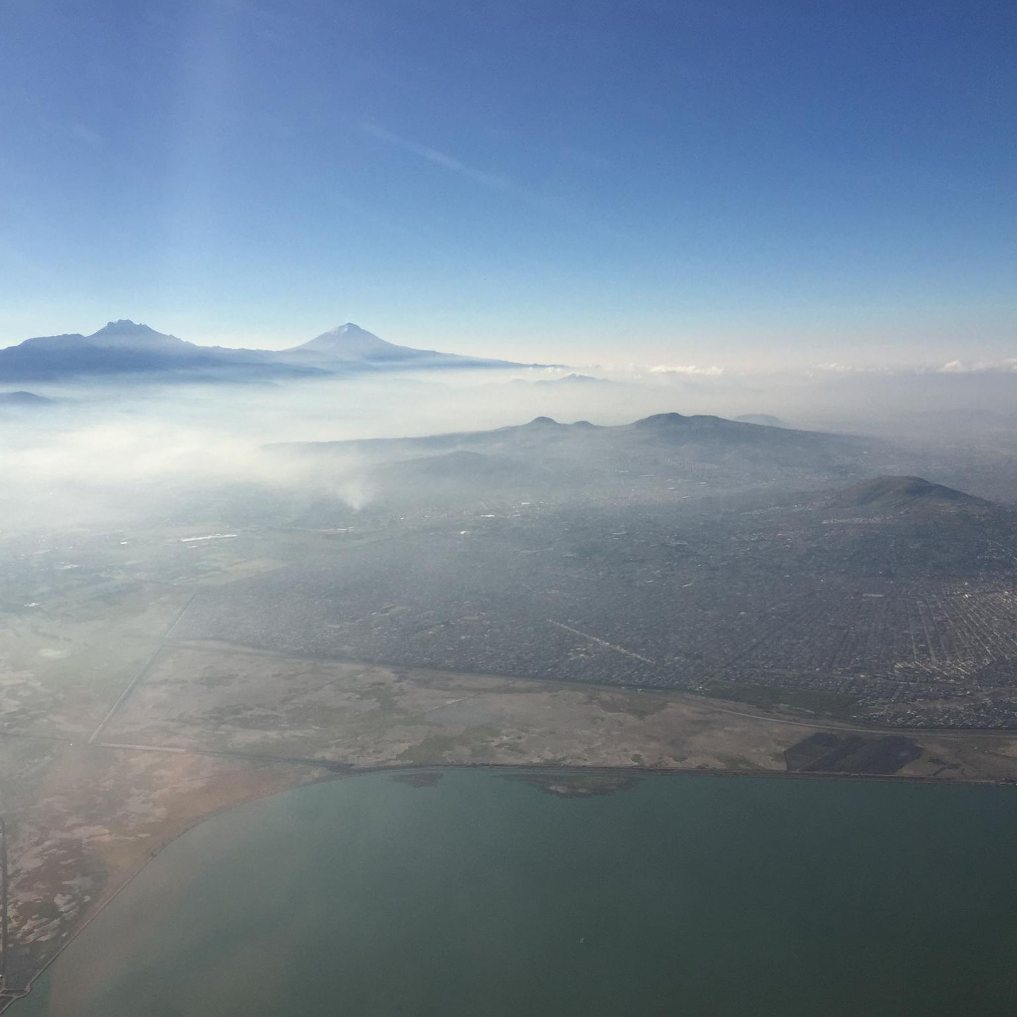
Jogging routes in Atenco and its surrounding areas offer a variety of running experiences, from urban park paths to more challenging trails in nearby natural features. The region is situated on the Neovolcanic Axis, characterized by some hills like Huatepec and Tepetzingo, though these are not extensively developed for trail running. Runners can find green spaces and established paths in neighboring municipalities, providing options for various running experiences. These areas offer accessible running paths for those seeking outdoor recreation near…
Last updated: June 25, 2026
4.1
(18)
135
runners
9.25km
01:01
20m
20m
Moderate run. Good fitness required. Mostly paved surfaces. Suitable for all skill levels.
9
runners
10.4km
01:37
500m
500m
Hard run. Very good fitness required. Mostly paved surfaces. Suitable for all skill levels.

Sign up for free
5
runners
3.96km
00:27
10m
10m
Easy run. Great for any fitness level. Mostly paved surfaces. Suitable for all skill levels.
5
runners
4.77km
00:29
10m
10m
Easy run. Great for any fitness level. Mostly paved surfaces. Suitable for all skill levels.
3
runners
9.68km
01:03
20m
20m
Moderate run. Good fitness required. Mostly paved surfaces. Suitable for all skill levels.
Our route recommendations are based on thousands of hikes, rides, and runs completed by other people on komoot.
Start today with a free account
Your next adventure awaits.
Login or Signup

Frequently Asked Questions
How many running routes are available in Atenco?
Komoot features a handful of running routes in and around Atenco. Currently, there are 6 distinct routes listed, offering a mix of easy, moderate, and difficult options for runners.
What types of terrain can I expect on jogging trails near Atenco?
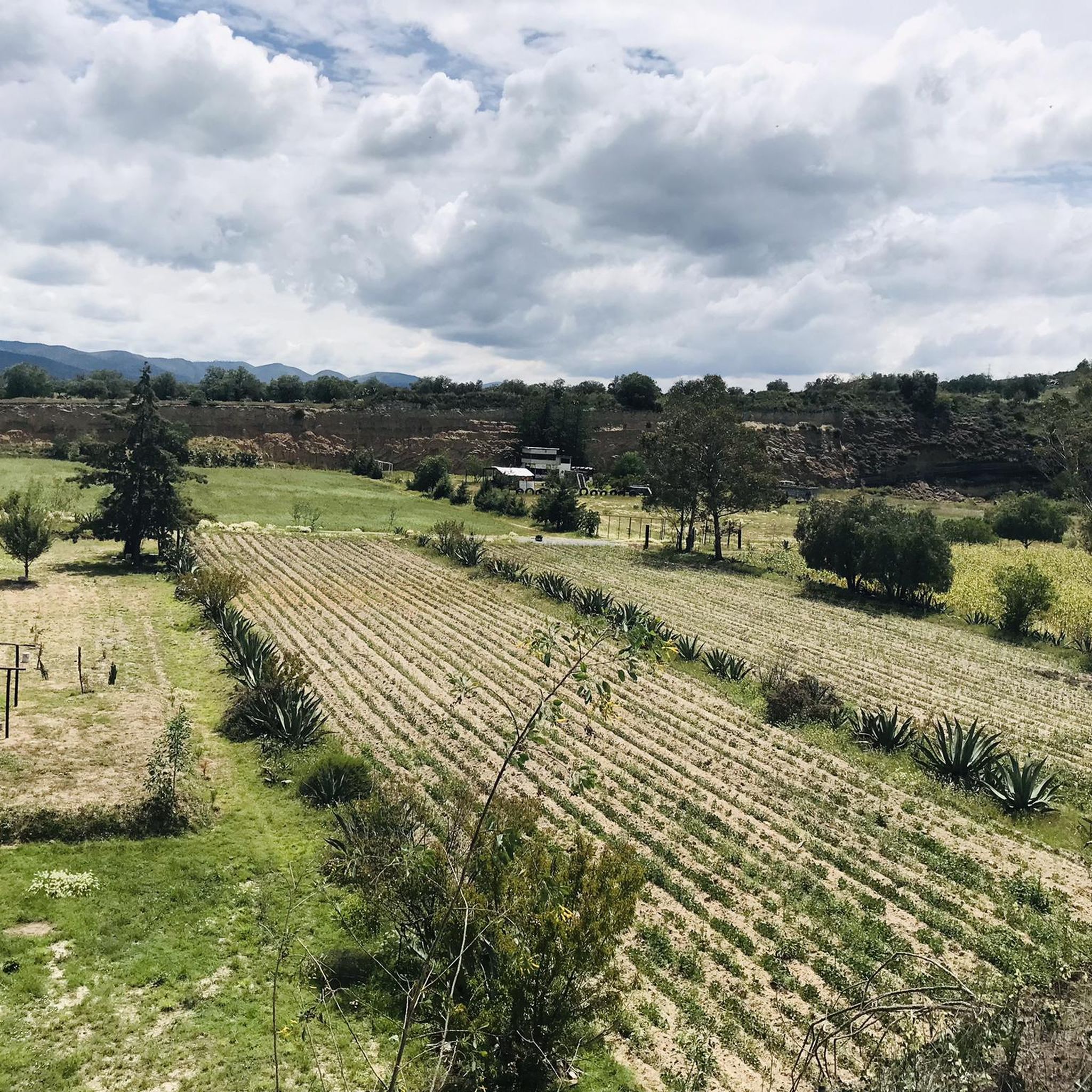
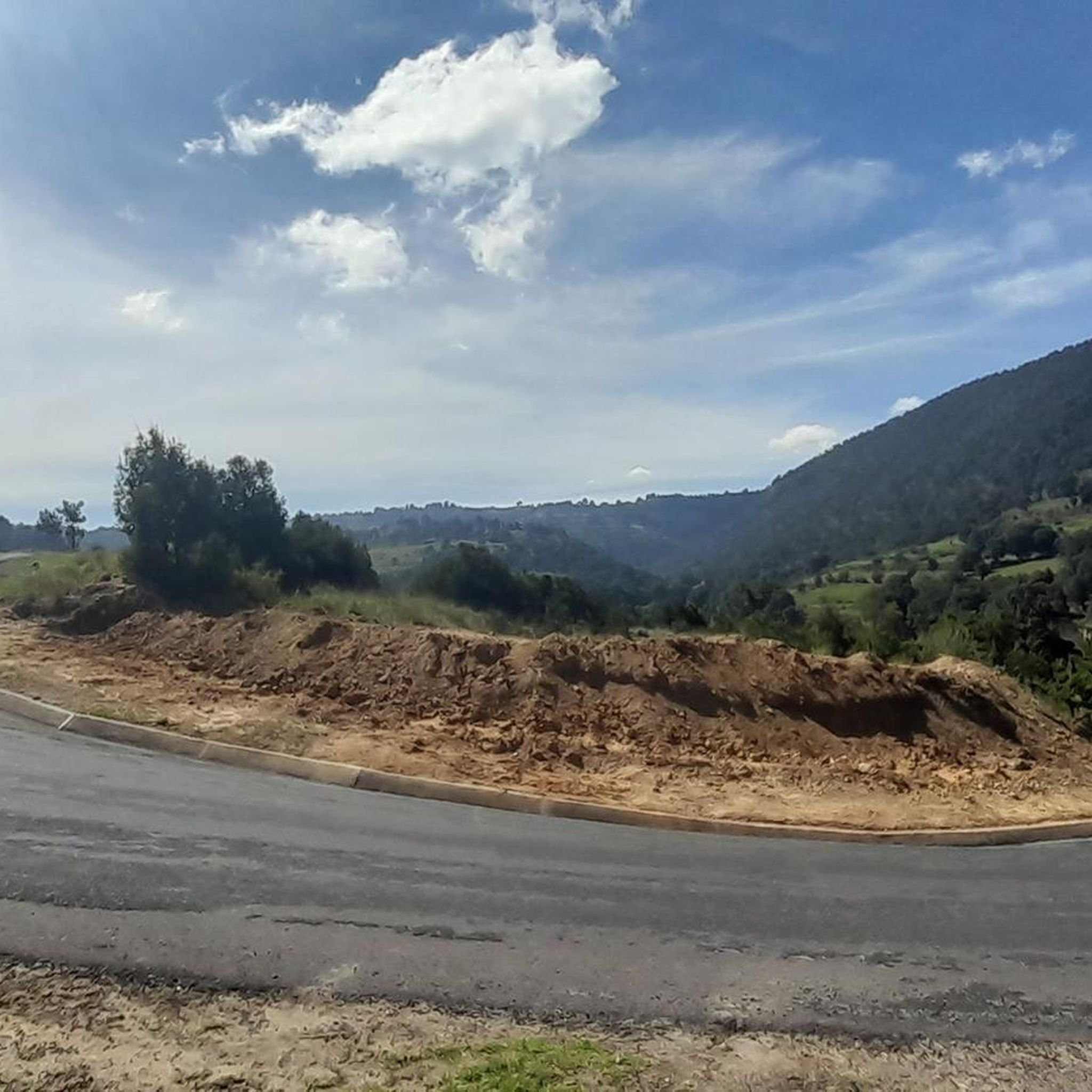
The jogging trails in and around Atenco primarily consist of urban park paths and some routes with varying elevation. While the region is on the Neovolcanic Axis with hills like Huatepec and Tepetzingo, these are not extensively developed for trail running. You'll find established paths in green spaces, with some routes like Ehecatepetl loop from Ecatepec offering significant elevation gain for a challenging workout.
Are there any easy running routes suitable for beginners in Atenco?
Yes, there are easy running routes perfect for beginners. For instance, the Running loop from Villa de Aragón is a 2.5-mile (4.0 km) trail through local green spaces, often completed in about 27 minutes. Another easy option is the Running loop from Mexico City Mexico Temple, which is 3 miles (4.8 km) long.
Can I find circular running routes in the Atenco area?
Many of the running paths in the Atenco area are designed as loops, providing convenient circular routes. Examples include the popular Bosque de Aragón Park Path loop from Bosque de Aragón, a 5.7-mile (9.3 km) moderate trail, and the more challenging Ehecatepetl loop from Ecatepec.
What do other runners say about the jogging routes in Atenco?
The running routes in Atenco and its vicinity are well-regarded by the komoot community, holding an average rating of 3.8 stars from over 12 reviews. Runners often appreciate the variety of experiences, from urban park paths to routes with more significant elevation changes, catering to different fitness levels.
Are there any family-friendly running trails near Atenco?
For families looking for a pleasant run, routes through local green spaces and established parks are ideal. The Running loop from Villa de Aragón is a shorter, easier option that could be suitable for families, offering a gentle path through green areas.
Are there any dog-friendly parks or running paths in Atenco?
While specific dog park designations are not detailed for Atenco's running routes, many urban parks and green spaces in Mexico generally allow dogs on leash. It's always recommended to check local signage or park regulations at your chosen starting point to ensure a pleasant experience for you and your pet.
What is the best time of year for outdoor running in Atenco?
Atenco experiences a temperate climate. Generally, the cooler, drier months are more comfortable for outdoor running. However, it's advisable to check the local weather forecast for monthly averages to determine the best time that suits your preference for temperature and precipitation.
Are there running routes in Atenco with convenient parking?
Many of the running routes that start from urban parks or residential areas often have nearby parking facilities. For routes like the Bosque de Aragón Park Path loop from Bosque de Aragón, you can typically find parking close to the park entrances, making access convenient for runners.
Can I access running trails near Atenco using public transport?
Access to running trails via public transport depends on the specific route's location. For routes situated within or near urban centers, public transportation options like buses or local colectivos are often available to get you close to the starting points. For example, routes originating from areas like Villa de Aragón or Ecatepec are generally more accessible by public transport.
Are there any cafes or restaurants near the running routes in Atenco?
Routes that pass through or start near urban areas, such as the Ahuehuetes, Boyeros loop from Texcoco de Mora, are more likely to have cafes or restaurants nearby. These establishments provide convenient spots for refreshments before or after your run.
What is the most challenging running route available in the Atenco area?
For runners seeking a significant challenge, the Ehecatepetl loop from Ecatepec is classified as difficult. This 6.5-mile (10.4 km) path features substantial elevation gain, providing a rigorous workout with varied terrain.
Most popular routes in Atenco

Get inspired with the komoot mobile app


Didn’t find what you were looking for?
Check out more Running Trails & Routes throughout Atenco below and find the perfect route in your destination.
Explore more
Browse the best Running Trails & Routes in other regions.
