The best walks and hikes in San Pablo Del Monte
5.0
(3)
44
hikers
4
hikes
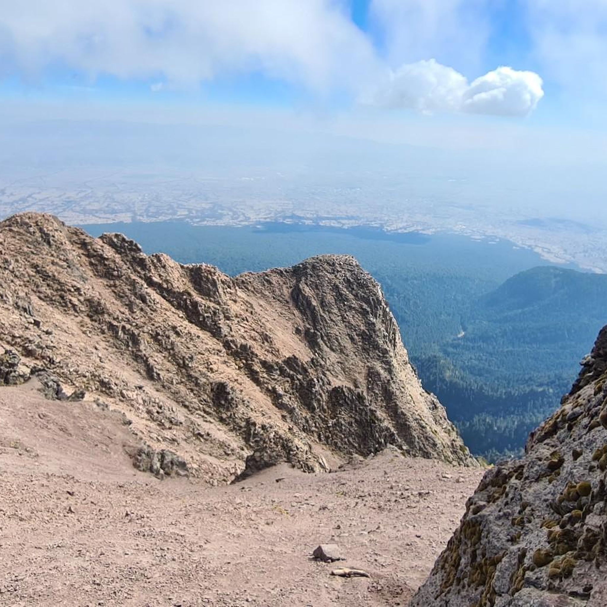
Hiking in San Pablo Del Monte, located in the southern part of Tlaxcala, Mexico, offers diverse landscapes for outdoor activities. The region is situated on the southeastern slopes of the inactive La Malinche volcano, providing access to Matlalcuéyatl National Park. Its altitude varies between 2,200 and 2,700 meters above sea level, contributing to a temperate mountain climate. The area features mountainous terrain and extensive forested zones, ideal for exploration.
Best hiking trails in San Pablo Del Monte
- The most popular…
Last updated: July 8, 2026
7
hikers
Easy hike. Great for any fitness level. Easily-accessible paths. Suitable for all skill levels.
5.0
(1)
3
hikers
8.40km
02:16
110m
110m
Moderate hike. Good fitness required. Easily-accessible paths. Suitable for all skill levels.

Sign up for free
1
hikers
Easy hike. Great for any fitness level. Easily-accessible paths. Suitable for all skill levels.
Our route recommendations are based on thousands of hikes, rides, and runs completed by other people on komoot.
Start today with a free account
Your next adventure awaits.
Login or Signup
Popular around San Pablo Del Monte

Tips from the Community

A very nice and quiet area to take a break from the hustle and bustle of the main square, full of art and magic.
0
0


In addition to the standard klimbim you will also find some authentic knick-knacks
0
0

Very tasty liqueur according to an old recipe - served with a piece of cheese 🧀.
0
0
Old house with delicacies. You have to try the liqueur
0
0

El Parian is considered the first handicraft market in Puebla, dating back to 1760.
3
0
Frequently Asked Questions
What is the typical terrain like for hiking in San Pablo Del Monte?
Hiking in San Pablo Del Monte primarily involves mountainous terrain and forested zones, as the area is situated on the southeastern slopes of the inactive La Malinche volcano. You can expect varied landscapes, from dense woods to open areas offering views of the Puebla-Tlaxcala Valley. The altitude ranges between 2,200 and 2,700 meters above sea level.
Can I hike La Malinche Volcano from San Pablo Del Monte?
Yes, San Pablo Del Monte's location provides privileged access to Matlalcuéyatl National Park, which encompasses La Malinche Volcano. This makes it an excellent starting point for trails leading up the volcano, offering opportunities for trekking and spectacular views.
What is the best time of year to go hiking in San Pablo Del Monte?
The region experiences a temperate, sub-humid mountain climate, which is generally ideal for outdoor exploration. While specific seasonal recommendations aren't provided, this type of climate typically offers pleasant hiking conditions for much of the year, avoiding extreme heat or cold. It's always advisable to check local weather forecasts before your trip.
Are there family-friendly hiking options in San Pablo Del Monte?
While the region is known for its mountainous terrain, the komoot community offers a range of options. For example, there are easy routes like the Zócalo (Main Square) and Puebla Cathedral – Artists' Quarter loop from Puebla City, which is an easy 1.5-mile trail, suitable for a gentle urban exploration. Always check the specific trail details for suitability for all family members.
What natural features or landmarks can I expect to see while hiking?
Given its location on the slopes of La Malinche Volcano, you'll encounter extensive forested zones and natural landscapes. The original Nahuatl name for San Pablo Del Monte, Cuauhtotoatla, meaning 'Water of the mountain bird,' hints at the presence of water sources and diverse fauna. While specific landmarks on trails aren't detailed, the volcano itself and the surrounding natural park are the primary attractions.
Do I need any permits to hike in the San Pablo Del Monte area, especially for La Malinche National Park?
The region provides access to Matlalcuéyatl National Park (La Malinche Volcano). It is advisable to check with local park authorities or official tourism resources regarding any required permits or entrance fees for specific trails within the national park, as regulations can vary.
Is parking available near the trailheads in San Pablo Del Monte?
While specific parking locations for trailheads are not detailed, for popular outdoor destinations like those near La Malinche National Park, there are typically designated parking areas. For urban routes, parking might be available in public lots or on streets. It's recommended to research specific trailhead access points for parking information.
How can I reach hiking trails in San Pablo Del Monte using public transport?
San Pablo Del Monte is located in Tlaxcala, Mexico. While direct public transport to specific remote trailheads might be limited, local buses or colectivos often serve the main town and surrounding areas. From there, you might need to arrange local transport or walk to reach the starting points of trails, especially those within La Malinche National Park.
Are there circular hiking routes available in San Pablo Del Monte?
Yes, the komoot community has mapped several circular routes. An example is the Toads' Alley – Zócalo (Main Square) and Puebla Cathedral loop from Puebla, a moderate 5.3-mile path, or the Zócalo (Main Square) and Puebla Cathedral – Toads' Alley loop from Puebla, a 3.6-mile trail. These routes offer varied urban landscapes and are popular among local hikers.
What do other hikers say about the trails in San Pablo Del Monte?
The routes in San Pablo Del Monte are highly rated by the komoot community, with an average score of 5.0 stars from over 3 reviews. More than 20 hikers have used komoot to explore the varied terrain, suggesting a positive overall experience.
How many hiking trails are available in San Pablo Del Monte?
Komoot lists several hiking routes in and around San Pablo Del Monte, offering options for different ability levels. Currently, there are at least 4 routes documented, ranging from easy strolls to moderate paths.
What kind of elevation gain can I expect on hikes in San Pablo Del Monte?
Given the region's mountainous terrain and proximity to La Malinche Volcano, elevation gains can vary significantly. For example, a moderate route like the Toads' Alley – Zócalo (Main Square) and Puebla Cathedral loop from Puebla features an elevation gain of 357 feet (109 meters). More challenging trails ascending La Malinche would naturally involve much greater elevation changes.
Are there challenging or advanced hiking routes in the San Pablo Del Monte area?
While the listed komoot routes include easy and moderate options, the region's direct access to La Malinche Volcano (Matlalcuéyatl National Park) suggests that more challenging and advanced trekking routes are available for experienced hikers looking to ascend the volcano or explore its rugged slopes.

Get inspired with the komoot mobile app


