The best walks and hikes around Area C (Inkaneep/Willowbrook)
4.5
(2)
63
hikers
7
hikes
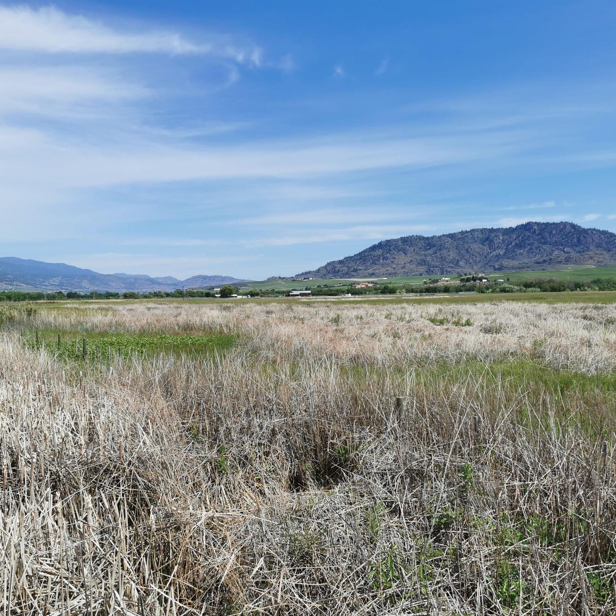
Hiking around Area C (Inkaneep/Willowbrook) in British Columbia offers diverse landscapes, from lush riverside riparian zones along the Okanagan River to semi-arid grasslands and bluffs. The region features a blend of cottonwood forests, vineyards, and open terrain, providing varied hiking experiences. Trails often lead through agricultural areas and offer views of the Okanagan Valley. The elevation changes range from gentle riverside paths to more challenging ascents on hills.
Best hiking trails around Area C (Inkaneep/Willowbrook)
- The most popular hiking route…
Last updated: August 24, 2026
4.0
(1)
12
hikers
4.04km
01:14
140m
140m
Easy hike. Great for any fitness level. Easily-accessible paths. Suitable for all skill levels.
7
hikers
10.3km
03:35
520m
520m
Moderate hike. Good fitness required. Easily-accessible paths. Suitable for all skill levels.

Sign up for free
5
hikers
5.13km
01:20
30m
30m
Easy hike. Great for any fitness level. Easily-accessible paths. Suitable for all skill levels.
5.0
(1)
16
hikers
9.00km
02:21
60m
60m
Moderate hike. Good fitness required. Easily-accessible paths. Suitable for all skill levels.
11
hikers
7.84km
02:00
30m
30m
Moderate hike. Good fitness required. Easily-accessible paths. Suitable for all skill levels.
Get access to more routes and recommendations from other explorers.
Sign up for free
Already have an account?
Our route recommendations are based on thousands of hikes, rides, and runs completed by other people on komoot.
Start today with a free account
Your next adventure awaits.
Login or Signup
Popular around Area C (Inkaneep/Willowbrook)
Tips from the Community

You can approach Mount Keogan either from the Dogtown Trail or the Go East Old Man Trail. This is the less well-trodden, though it's a good option if you were wanting to create a loop on the mountain.
0
0
Rising to around 910 meters (2,985 ft) above British Columbia's Okanagan Valley, Mount Keogan is a fine hiking objective. It's most often ascended from Green Lake Road via the Dogtown Trail and all the trail junctions are signposted. To the south of the summit is a fine viewpoint towards Oliver. It's possible to complete a loop by descending either the quieter Go East Old Man Trail or the longer 5 Lakes Lookout Trail. The latter is mostly through woodland and misses out on the lake views.
0
0
This viewpoint to the south of Mount Keogan's summit provides vast views towards Oliver and Tugulnuit Lake. This point can be reached via the Dogtown Trail, which begins on Green Lake Road. There's no official parking but there's space to pull over on the side of the road.
0
0

This small regional airport primarily supports private and recreational aviation and is a prominent landmark along the Canal Walkway. Its open setting offers expansive views of nearby mountains, vineyards, orchards, and the arid landscape that makes Osoyoos unique in Canada. As you pass by, you’ll likely see planes taking off and landing at close range against the open valley setting.
0
0
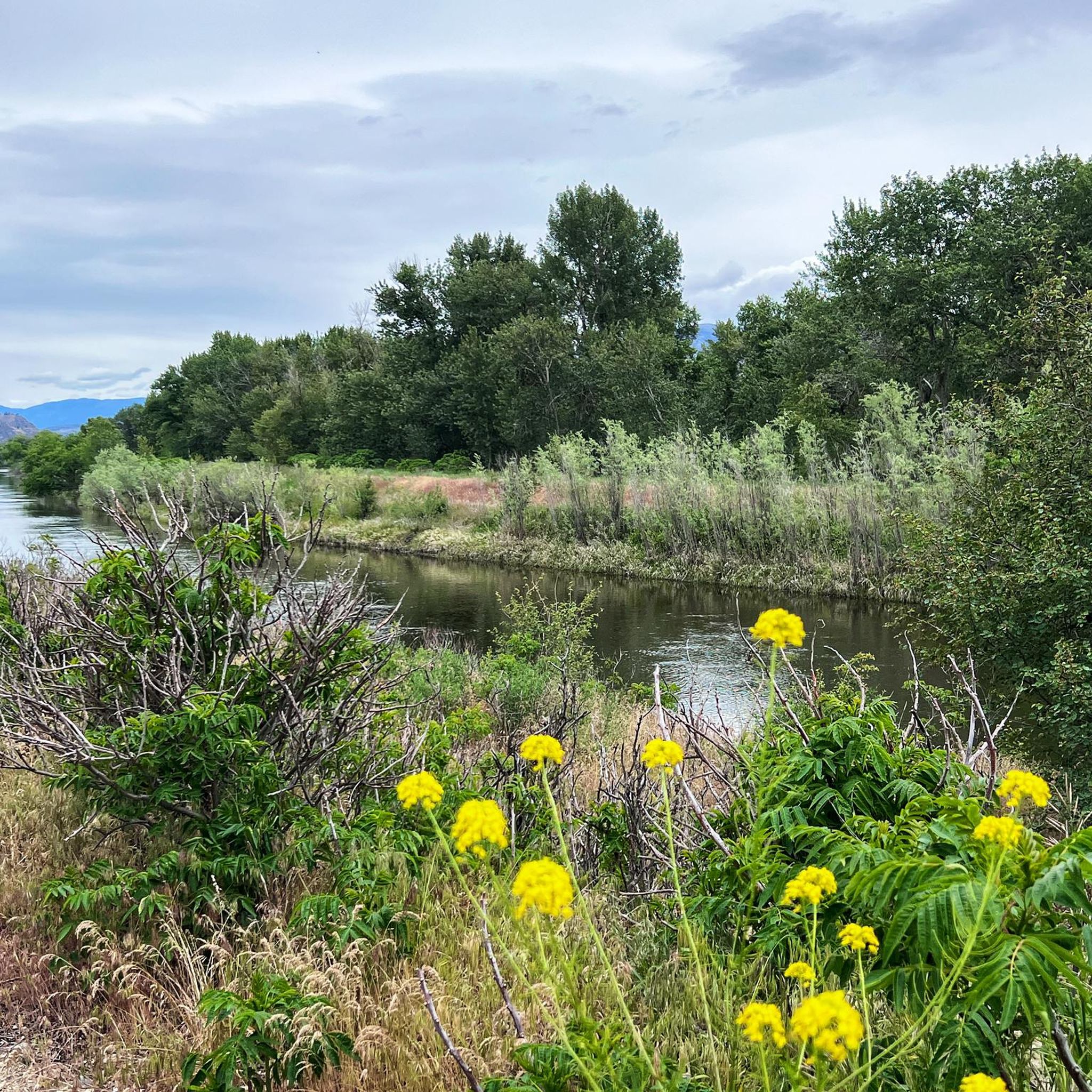
Osoyoos Canal Walkway is a paved, roughly five-kilometre loop that follows a historic irrigation canal once used to supply water to Osoyoos’ orchards, vineyards, and early community development. The route passes through sagebrush, cacti, and fertile agricultural lands, with plenty of native wildlife to see, including pheasants, osprey and wood ducks. Along the way, there are beautiful views of orchards, wineries, Osoyoos Lake, and the surrounding valley, making it one of the area’s most memorable urban trails. It’s a fantastic route, especially if you’re here in the evening, as the elevated vantage point is an excellent place for a sunset walk.
0
0
This parking lot is the main access point for the Canal Walkway and is a convenient starting point for exploring the canal corridor, desert scenery, and the surrounding agricultural landscape. Parking is free, and from here, you can immediately access the paved loop and enjoy views of South Okanagan’s beautiful mix of vineyards, orchards, and grasslands.
0
0

Peach Cliff Trail climbs up the slopes of Peach Cliff, leading hikers through dry grasslands and rocky terrain typical of the southern Okanagan Valley. As you gain elevation, the views open up over Skaha Lake, nearby vineyards, and the surrounding hills.
0
0
Peach Cliff is a rocky outcrop that overlooks the town of Okanagan Falls in British Columbia. The cliff is a distinctive volcanic formation that rises sharply above the surrounding valley and has become a recognizable landmark in the southern Okanagan Valley. Visible from both Skaha Lake and nearby roads, it stands out for its steep rock faces and rugged shape.
0
0
Frequently Asked Questions
What kind of terrain can I expect on hiking trails in Area C (Inkaneep/Willowbrook)?
The region offers a diverse range of terrain. You'll find lush riverside riparian zones along the Okanagan River, semi-arid grasslands, and bluffs. Trails often lead through agricultural areas like vineyards and orchards, with elevation changes varying from gentle riverside paths to more challenging ascents on hills like McIntyre Bluff.
Are there any easy, family-friendly hikes in Area C (Inkaneep/Willowbrook)?
Yes, there are several easy options suitable for families. The Peach Cliff Trail is an easy 2.5-mile (4.0 km) path. Another gentle option is the Osoyoos Oxbows Trail, located at the northern end of Osoyoos Lake, which meanders through wetlands and is excellent for bird watching. The short trails within Inkaneep Provincial Park along the Okanagan River are also great for leisurely walks.
What are some notable natural attractions or landmarks to see while hiking in the area?
The region is rich in natural beauty. You can explore the unique semi-arid environment at the Osoyoos Desert Centre, or visit the fascinating Spotted Lake, known for its distinct mineral formations. The Mahoney Lake Ecological Reserve also offers a unique natural experience.
Are there any dog-friendly trails in Area C (Inkaneep/Willowbrook)?
Many trails in the South Okanagan are dog-friendly, but it's always best to check specific park regulations or trail signage. Generally, trails that are not within protected wildlife areas or private vineyards often allow dogs, provided they are on a leash. The International Hike and Bike Trail is a popular choice for walks with dogs.
What is the best time of year to go hiking in Area C (Inkaneep/Willowbrook)?
Spring and early summer are particularly beautiful, with wildflowers blooming and milder temperatures. However, hikers should be mindful of the heat and limited shade during warmer months, especially on trails like McIntyre Bluff. Fall also offers pleasant hiking conditions with cooler weather and vibrant autumn colors. Winter hiking is possible, but conditions can vary, with some trails potentially experiencing snow or ice.
Are there any circular hiking routes available?
Yes, there are several circular routes. The Conkle Lake Provincial Park loop from Conkle Lake Provincial Park is a moderate 5.5-mile (8.9 km) trail. Another option is the Osoyoos loop from Osoyoos Lake, an easy 7.6-mile (7.6 km) path. Mount Kobau also offers a 5 km loop trail at its summit.
What are the parking options for popular trailheads like McIntyre Bluff?
Parking for the McIntyre Bluff hike (nʕaylintn) is available from locations such as Willowbrook Community Parkland or near Covert Organic Farms. For other trails, parking access varies, but many trailheads, especially those for provincial parks or well-known routes like the International Hike and Bike Trail, typically have designated parking areas.
Can I reach hiking trails in Area C (Inkaneep/Willowbrook) using public transport?
Public transport options directly to many remote trailheads in Area C (Inkaneep/Willowbrook) can be limited. It is often advisable to have personal transportation to access the full range of hiking opportunities. However, some trails, particularly those closer to towns like Oliver and Osoyoos, might be more accessible via local transit or taxi services.
What kind of wildlife can I expect to see while hiking?
The region is rich in biodiversity. Along the riverside riparian zones of Inkaneep Provincial Park, you can spot various bird species, including the Lewis' woodpecker and the yellow-breasted chat. The Osoyoos Oxbows Trail is excellent for bird watching, with ducks, herons, eagles, and painted turtles. The semi-arid grasslands also support unique wildlife adapted to the desert-like conditions.
Are there any permits required for hiking in Area C (Inkaneep/Willowbrook)?
Generally, permits are not required for day hiking on most public trails in Area C (Inkaneep/Willowbrook) or within provincial parks. However, it's always good practice to check the specific regulations for any protected areas or private lands you plan to traverse, especially if you intend to camp or engage in other activities.
What do other hikers enjoy most about the trails in Area C (Inkaneep/Willowbrook)?
The trails in Area C (Inkaneep/Willowbrook) are highly rated by the komoot community, with an average score of 5.0 stars. Hikers often praise the diverse landscapes, from the serene riverside paths to the panoramic views from bluffs like McIntyre Bluff, and the unique blend of natural beauty with agricultural charm provided by the vineyards and orchards.
Are there any challenging hikes for experienced hikers?
Yes, for more experienced hikers, the ascent to McIntyre Bluff (nʕaylintn) offers a challenging yet rewarding 10 km round-trip hike with impressive panoramic views of the Okanagan Valley. Mount Kobau also provides spectacular 360-degree vistas from its summit after traversing sub-alpine forests and open grasslands.
Most popular routes around Area C (Inkaneep/Willowbrook)
Most popular attractions around Area C (Inkaneep/Willowbrook)

Get inspired with the komoot mobile app


Explore more
Browse the best Hikes in other regions.
