The best walks and hikes in San Lorenzo Cacaotepec
3.8
(20)
104
hikers
6
hikes
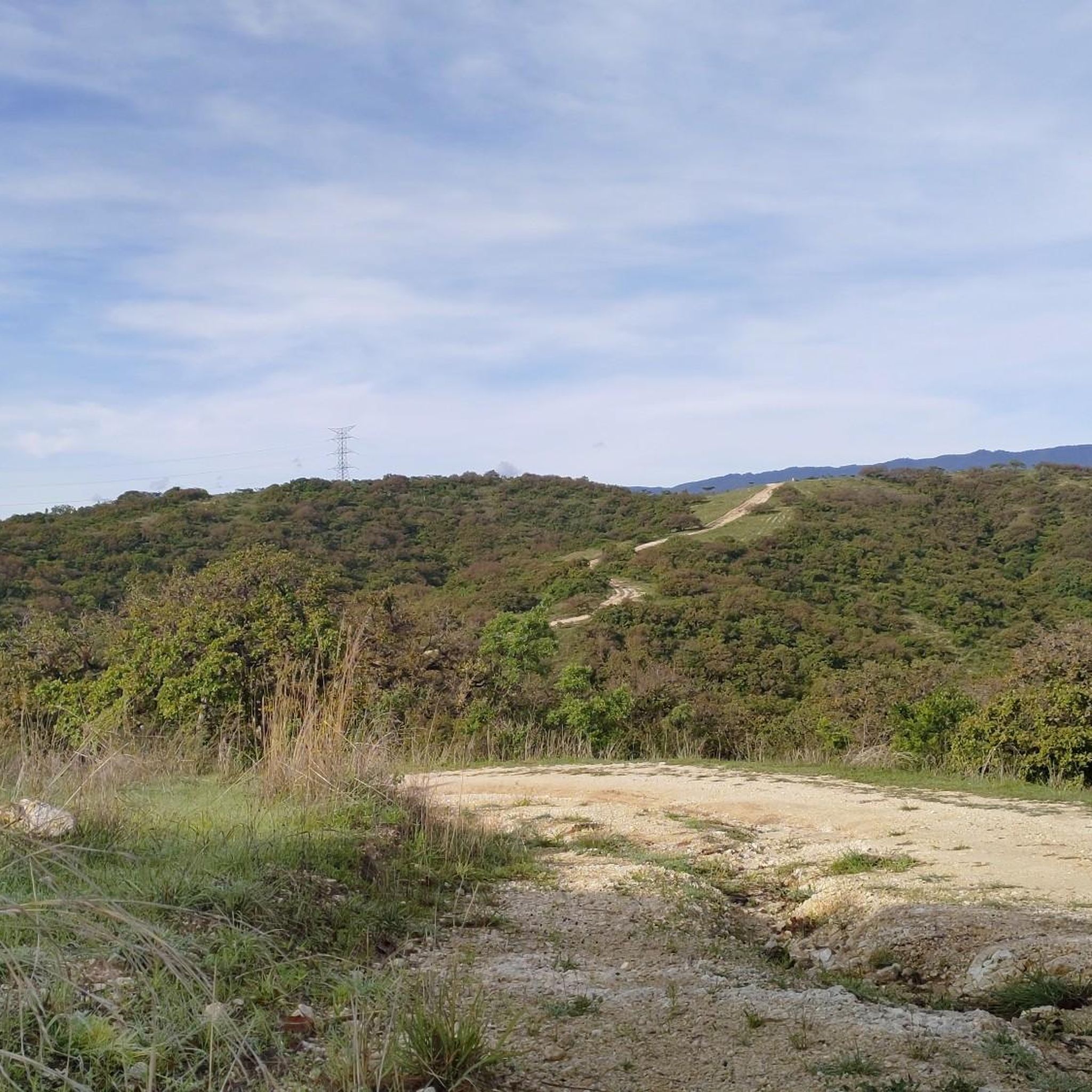
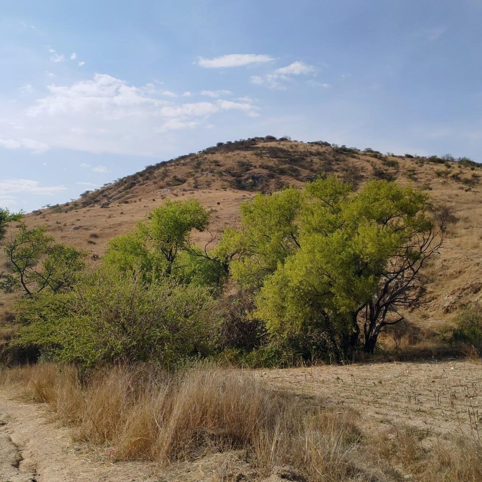
Hiking in San Lorenzo Cacaotepec offers diverse landscapes within Oaxaca's Central Valleys. The region features undulating, hilly terrain, including the "Cerro del Cacao," with elevations ranging from 1,500 to 1,900 meters above sea level. Oak forests, grasslands, and scrubland characterize the mountainous areas, while rivers like the San Lucas and Atoyac traverse the municipality. Reservoirs, known as "Presas," also contribute to the natural features, often reached via routes with steep climbs on rocky roads.
Best hiking trails in San Lorenzo…
Last updated: May 16, 2026
4.2
(6)
15
hikers
Moderate hike. Good fitness required. Mostly accessible paths. Sure-footedness required.
4.3
(6)
13
hikers
16.4km
04:48
420m
420m
Moderate hike. Good fitness required. Easily-accessible paths. Suitable for all skill levels.

Sign up for free
8
hikers
2.42km
00:38
10m
10m
Easy hike. Great for any fitness level. Easily-accessible paths. Suitable for all skill levels.
7
hikers
1.48km
00:23
10m
10m
Easy hike. Great for any fitness level. Easily-accessible paths. Suitable for all skill levels.
1
hikers
9.49km
02:39
180m
180m
Moderate hike. Good fitness required. Easily-accessible paths. Suitable for all skill levels.
Our route recommendations are based on thousands of hikes, rides, and runs completed by other people on komoot.
Start today with a free account
Your next adventure awaits.
Login or Signup
Popular around San Lorenzo Cacaotepec
Tips from the Community

The most famous historical site in Oaxaca, well maintained and preserved. The guided tour is recommended to gain a deeper insight into the history.
0
0

Room used to play the traditional ball game of the Zapotecs
0
0

A beautiful district of Oaxaca that captivates with its charm, flair and chilled atmosphere. The murals that run through the entire district are magnificent! There are also numerous cafes where you can relax.
0
0
The steps take you to Oaxaca's local mountain, Cerro del Fortín, just outside the center. From the top you are rewarded with a magnificent view of Oaxaca. However, you should not go up in the dark.
0
0
The market hall, which is not far from the Zócalo, is definitely worth a visit. Mexican life is in full swing here. You can get everything from souvenirs and clothing to bread, juices, fruit, coffee, meat and prepared meals.
0
0
Imposing building that shines with great lighting, especially in the evening.
0
0
The monumental exhibition of the sculpture group "Los Gigantes" by the Oaxacan plastic artist Alberto Aragón Reyes is located on one side of the Catedral Metropolitana in the Alameda de León and will be on display until December 1, 2024.
0
0

Monte Alban was the capital of the Zapotec, 10 km from Oaxaca. The first settlement dates back to 800 BC. The special thing here is that the city was built on a mountain that had previously been leveled over decades.
0
0
Frequently Asked Questions
What kind of terrain can I expect on hikes in San Lorenzo Cacaotepec?
Hiking in San Lorenzo Cacaotepec features diverse and undulating terrain. You'll encounter hilly landscapes, including the 'Cerro del Cacao,' with elevations ranging from 1,500 to 1,900 meters. Expect oak forests, expansive grasslands, and scrubland in the mountainous areas. Some routes, particularly those leading to the Presas (reservoirs), involve steep climbs on loose and rocky roads, offering a challenging experience.
Are there any easy hiking options in San Lorenzo Cacaotepec?
Yes, San Lorenzo Cacaotepec offers easy hiking options suitable for less strenuous walks. For example, the Zócalo de Oaxaca – Oaxaca Cathedral loop from Oaxaca City is an easy 2.4 km route. Local parks like JUEGOS INFANTILES DEL ARENAL and Parque Santa Maria also provide pleasant green spaces for walking.
What are some notable natural features or viewpoints to see while hiking?
The region is characterized by several rivers, including the San Lucas, Atoyac, and Arenal. A significant draw are the 'Presas of San Lorenzo Cacaotepec' (reservoirs), which offer spectacular views of the hills west of Cacaotepec. The routes to these presas provide a rewarding experience with scenic vistas.
Are there any historical landmarks or attractions along the hiking trails?
Yes, hikers can discover historical elements. Along some of the more challenging routes leading to the presas, you might find the ruins of an old monastery. Additionally, the area is home to Hacienda Vieja, another set of historical ruins that offer a glimpse into the region's past.
What is the best time of year to go hiking in San Lorenzo Cacaotepec?
San Lorenzo Cacaotepec experiences a semi-dry to semi-warm climate, which generally allows for enjoyable outdoor activities for much of the year. This climate makes it possible to hike comfortably during most seasons, though checking local weather forecasts is always recommended.
Are there any family-friendly hiking routes?
While specific family-designated trails are not highlighted, the easier routes and local parks like JUEGOS INFANTILES DEL ARENAL and Parque Santa Maria are suitable for families looking for less strenuous walks and green spaces. For a slightly longer, easy urban walk, consider the Zócalo de Oaxaca – Oaxaca Cathedral loop from Oaxaca City.
Can I bring my dog on the hiking trails?
Many outdoor areas in Mexico are generally dog-friendly, especially on less formal trails. However, it's always best to keep your dog on a leash and ensure they are well-behaved, particularly around other hikers or wildlife. Always carry waste bags and clean up after your pet.
How long do hikes typically take in San Lorenzo Cacaotepec?
Hiking durations vary depending on the route and your pace. For instance, the El Mirador Viewpoint of Oaxaca – Steps to Cerro del Fortín loop from Oaxaca City typically takes around 2 hours 42 minutes. Longer routes like the Mercado 20 de Noviembre – Monte Albán Pyramids loop from Oaxaca City can take closer to 4 hours 48 minutes.
What do other hikers enjoy most about hiking in San Lorenzo Cacaotepec?
The area is highly rated by the komoot community, with an average score of 3.75 stars from over 20 reviews. Hikers often praise the diverse landscapes, from oak forests to river valleys, and the challenging yet rewarding routes, especially those with spectacular views towards the Presas.
Are there any circular hiking routes available?
Yes, several routes in the area are designed as loops. For example, the Snake on Sandy Terrain loop from La Gloria is a moderate 9.5 km circular trail that takes about 2 hours 38 minutes to complete. Other loop options include the urban walks around Oaxaca City.
Is public transport available to reach hiking areas near San Lorenzo Cacaotepec?
San Lorenzo Cacaotepec is approximately 12 km from Oaxaca City, making it an accessible option for day trips. While specific public transport routes directly to trailheads might be limited, local buses or colectivos (shared taxis) from Oaxaca City can get you to the general vicinity, from where you might need to walk or take a short taxi ride to your starting point.
What should I wear for hiking in this region?
Given the varied terrain, including rocky and potentially steep paths, sturdy hiking shoes or boots with good ankle support are recommended. Layers of clothing are advisable due to potential temperature changes between elevations and sun exposure. Don't forget sun protection, a hat, and plenty of water, especially for longer or more challenging routes.

Get inspired with the komoot mobile app


Explore more
Browse the best Hikes in other regions.
