The best walks and hikes in Zunil
4.6
(31)
157
hikers
5
hikes
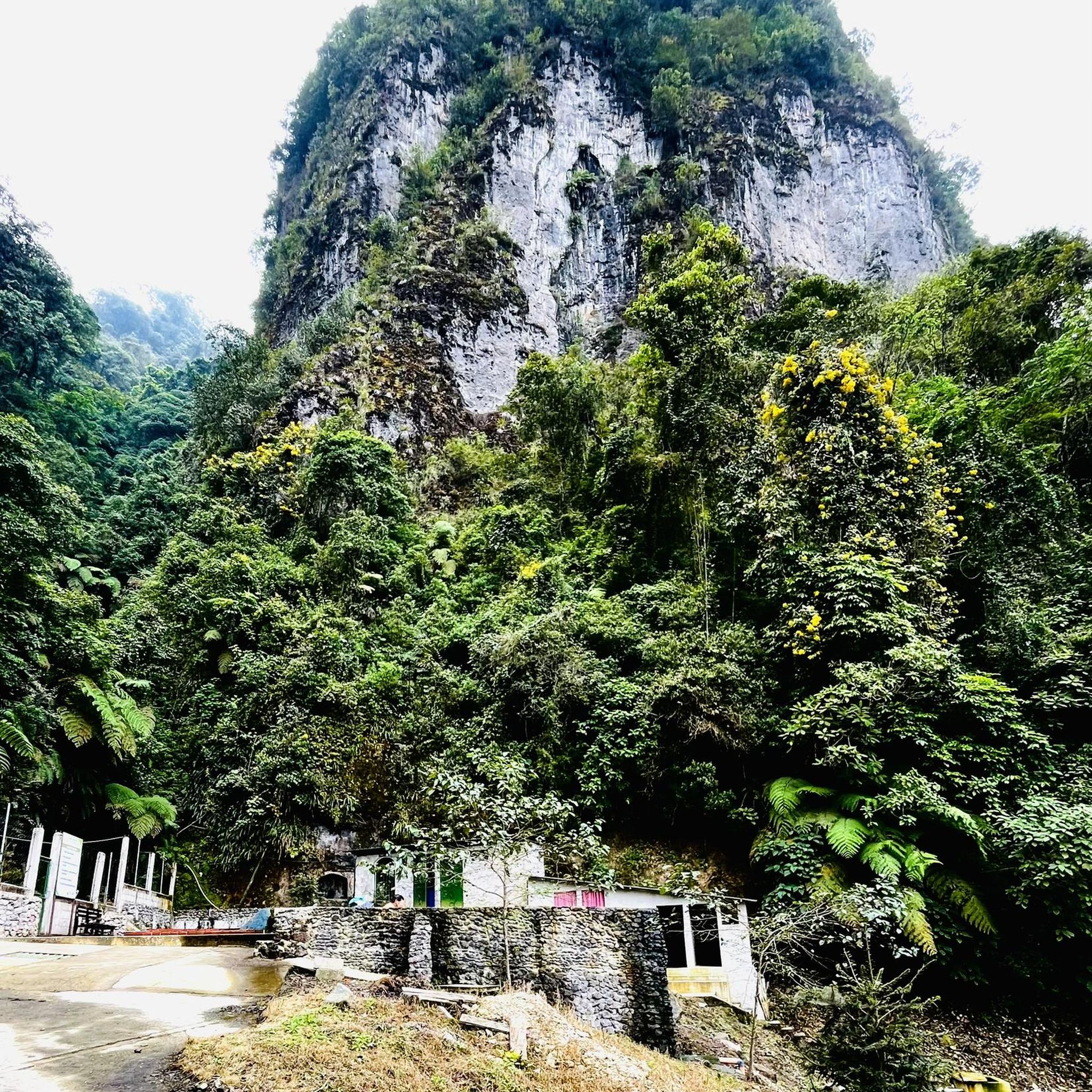
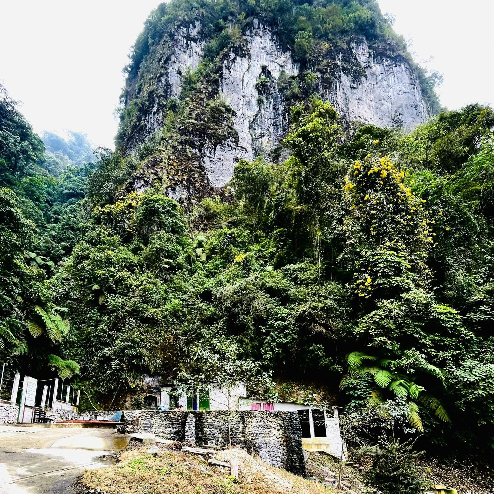
Hiking in Zunil offers access to dramatic volcanic landscapes and diverse natural features in the Guatemalan highlands. The region is characterized by the prominent Volcán Zunil, which provides extensive views, and is surrounded by cloud forests and high altiplano grasslands. Hikers can explore varied terrain, from dense forest paths to open ridgelines, often leading to natural hot springs.
Best hiking trails in Zunil
- The most popular hiking route is View of Volcán Santiaguito loop from Lleno del pilla, a…
Last updated: June 28, 2026
4.8
(18)
86
hikers
8.77km
03:03
470m
470m
Moderate hike. Good fitness required. Easily-accessible paths. Suitable for all skill levels.
4.2
(9)
46
hikers
Moderate hike. Good fitness required. Easily-accessible paths. Suitable for all skill levels.

Sign up for free
4.5
(2)
6
hikers
Moderate hike. Good fitness required. Easily-accessible paths. Suitable for all skill levels.
10
hikers
4.20km
01:25
220m
220m
Easy hike. Great for any fitness level. Easily-accessible paths. Suitable for all skill levels.
5.0
(2)
9
hikers
6.87km
02:57
610m
610m
Moderate hike. Good fitness required. Easily-accessible paths. Suitable for all skill levels.
Our route recommendations are based on thousands of hikes, rides, and runs completed by other people on komoot.
Start today with a free account
Your next adventure awaits.
Login or Signup
Popular around Zunil
Tips from the Community

City center. Nearby is my favorite bakery, Xelapan.
1
0

Bus stop for Volcano Santa in Llana del Pinal Maria: 'Four Roads' Cost to Xela 4 Q
0
0
Here end the foot path. From here it is more like 'climbing'. The way is still good marked up to the viewpoint.
0
0
Here is the last point for dropping by 4x4 / car / moto
0
0

Quetzaltrekkers in Quetzaltenango offer volunteer guided trips to this and similar and proceeds go to educational projects
0
0
Get there before midday or 10 am to avoid cloud cover
0
0

Small park with a few surrounding restaurants and beautiful colonial buildings. The night market awakens every evening, where you can find numerous cheap and local street food options and try them out.
0
0

The park is the center of the city. The park has a kiosk. Around are interesting buildings => Enriquez Passage + Museum of Natural History & House of Culture of the West + Cathedral of the Holy Spirit + Municipality + Shopping Center
1
0
Frequently Asked Questions
What kind of landscapes can I expect to see while hiking in Zunil?
Hiking in Zunil offers a diverse range of landscapes, from dense cloud forests and high altiplano grasslands to dramatic volcanic ridgelines. You'll experience the unique transition from lush, misty forests to open, expansive views, often with other volcanoes visible in the distance.
Are there any easy hiking trails suitable for beginners in Zunil?
Yes, Zunil offers some routes suitable for beginners. For example, the Hiking loop from Quetzaltenango is classified as easy, covering about 4.2 km and typically taking around 1 hour 25 minutes to complete. This route provides a gentle introduction to the region's beauty.
What are the main attractions or points of interest near Zunil's hiking trails?
Beyond the trails themselves, a major attraction is the natural, volcanically heated Fuentes Georginas hot springs, often a rewarding conclusion to a hike. The town of Zunil also features vibrant local markets and the colonial church of San Sebastián. From higher elevations, you can enjoy panoramic views of the Xela Valley, Lake Atitlán, and numerous volcanoes, including the active Santiaguito cone.
Can I find circular hiking routes in Zunil?
Yes, several circular routes are available in Zunil. For instance, the View of Volcán Santiaguito loop from Lleno del pilla is a moderate 8.8 km loop offering views of the active Santiaguito volcano. Another option is the Start of Footpath – Viewpoint with Solitary Tree loop from Almolonga, which is 6.9 km and leads to a scenic viewpoint.
What do other hikers say about the trails in Zunil?
The hiking routes in Zunil are highly regarded by the komoot community, with an average rating of 4.6 stars from over 20 reviews. Hikers often praise the dramatic volcanic landscapes, the transition through cloud forests, and the rewarding views from the higher elevations.
Are there any challenging hikes in the Zunil region?
While the komoot guide primarily lists easy to moderate routes, the region is known for more challenging ascents, particularly to the summit of Volcán Zunil. This 2-day hike is generally considered moderate to difficult, often involving camping just below the peak for a breathtaking sunrise view. It traverses cloud forests, high altiplano grasslands, and thrilling ridgelines.
What is the best time of year to hike in Zunil?
The best time to hike in Zunil, especially for volcano ascents, is typically during the dry season, which generally runs from November to April. During these months, you can expect clearer skies, offering better visibility for the panoramic views from the peaks and more comfortable hiking conditions. The rainy season (May to October) can bring afternoon showers and make trails muddier.
Is public transportation available to reach Zunil's trailheads?
Zunil is accessible by public transportation, particularly from nearby cities like Quetzaltenango (Xela). Local buses (chicken buses) are a common and affordable way to get to Zunil town. From there, you may need to arrange local transport or walk to specific trailheads, depending on their proximity to the town center.
Can I see active volcanoes from the hiking trails in Zunil?
Yes, from various viewpoints and higher elevations in Zunil, you can often see several volcanoes, including the actively erupting Santiaguito cone. The View of Volcán Santiaguito loop from Lleno del pilla is specifically designed to offer views of this active volcano.
Are there any hikes that start from Quetzaltenango and lead into the Zunil area?
Yes, some routes connect the Zunil area with the nearby city of Quetzaltenango. For example, the Enríquez Passage – Central America Park loop from Quetzaltenango is a moderate 8.6 km path that offers a loop experience starting from Quetzaltenango, providing a convenient option for those based in the city.
What kind of wildlife or vegetation might I encounter on the trails?
The trails in Zunil traverse diverse ecosystems, including cloud forests and high altiplano grasslands. In the cloud forests, you might encounter a rich variety of plant life, including orchids, bromeliads, and mosses, along with various bird species. The open altiplano areas offer different flora adapted to higher altitudes.
Are there options for multi-day hikes in Zunil?
Yes, for experienced hikers, the ascent of Volcán Zunil is often undertaken as a 2-day hike. This typically involves camping just below the summit to witness a spectacular sunrise over the surrounding volcanic landscape. This option provides a more immersive and challenging experience of the region.
Most popular routes in Zunil

Get inspired with the komoot mobile app


Explore more
Browse the best Hikes in other regions.
