Top 7 Lakes around The Vale Of Grwyney
Lakes around The Vale Of Grwyney are situated in a region primarily defined by the River Grwyney and its tributaries, which flow into the River Usk. This area, part of Powys, Wales, is characterized by the Black Mountains of the eastern Brecon Beacons National Park. The landscape features Old Red Sandstone hills, with sandstones and mudstones visible in riverbeds and valley sides. While the immediate Vale of Grwyney is river-centric, the broader surrounding area offers diverse bodies of water.
Best…
Last updated: July 10, 2026
Keeper's Pond (Pen-Ffordd-Goch Pond)
Highlight • Natural Monument
Tip by

The Punchbowl Lake
Highlight • Natural
Tip by

Sign up now to discover places like this
Get recommendations on the best single tracks, peaks, & plenty of other exciting outdoor places.
Sign up for free
Grwyne Fawr Reservoir
Highlight • Historical Site
Gwyne Fawr Reservoir -is located in the valley of the river Grwyne Fawr in the Brecon Beacons National Park, Wales. Completed in 1928, it has the capacity …
Tip by

Devil's Punchbowl Pond
Highlight • Viewpoint
Tip by

Llangorse Lake (Llyn Syfaddan)
Highlight • Lake
Tip by

Sign up for free to discover even more lakes around The Vale Of Grwyney.
Sign up for free
Already have an account?
Start today with a free account
Your next adventure awaits.
Login or Signup
Popular around The Vale Of Grwyney

O Fon i Fynwy — Exploring Wales on foot from top to bottom
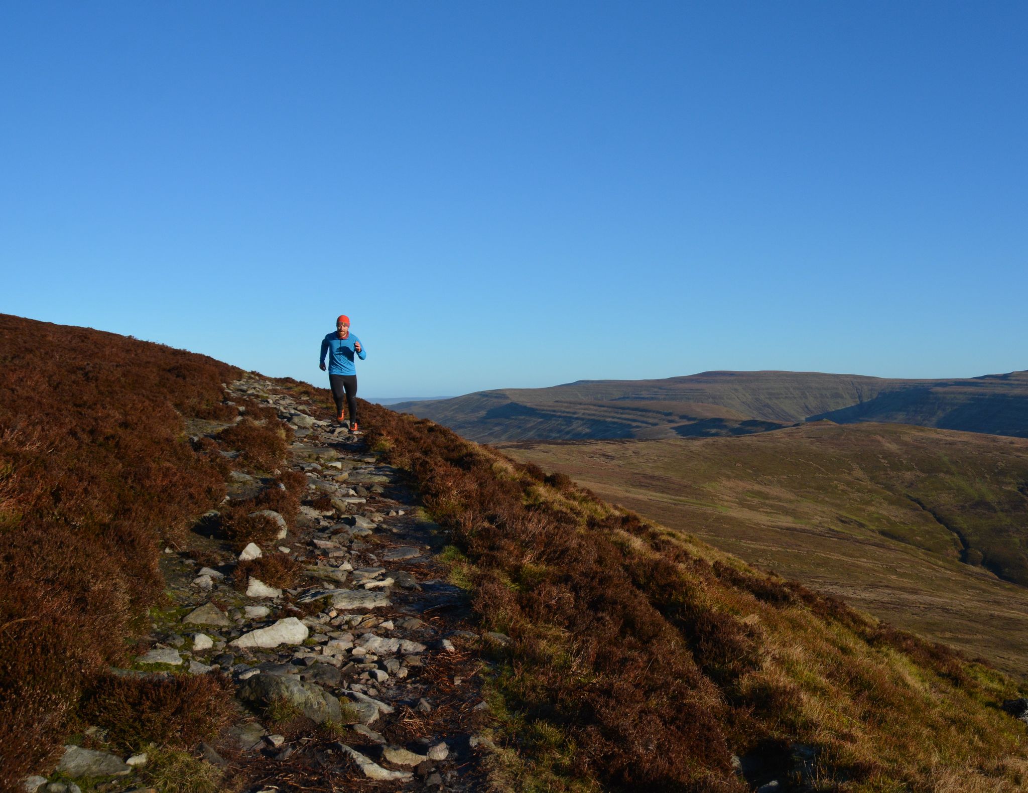
10 running adventures in the Bannau Brycheiniog (Brecon Beacons)
Hiking around The Vale Of Grwyney
Cycling around The Vale Of Grwyney
MTB Trails around The Vale Of Grwyney
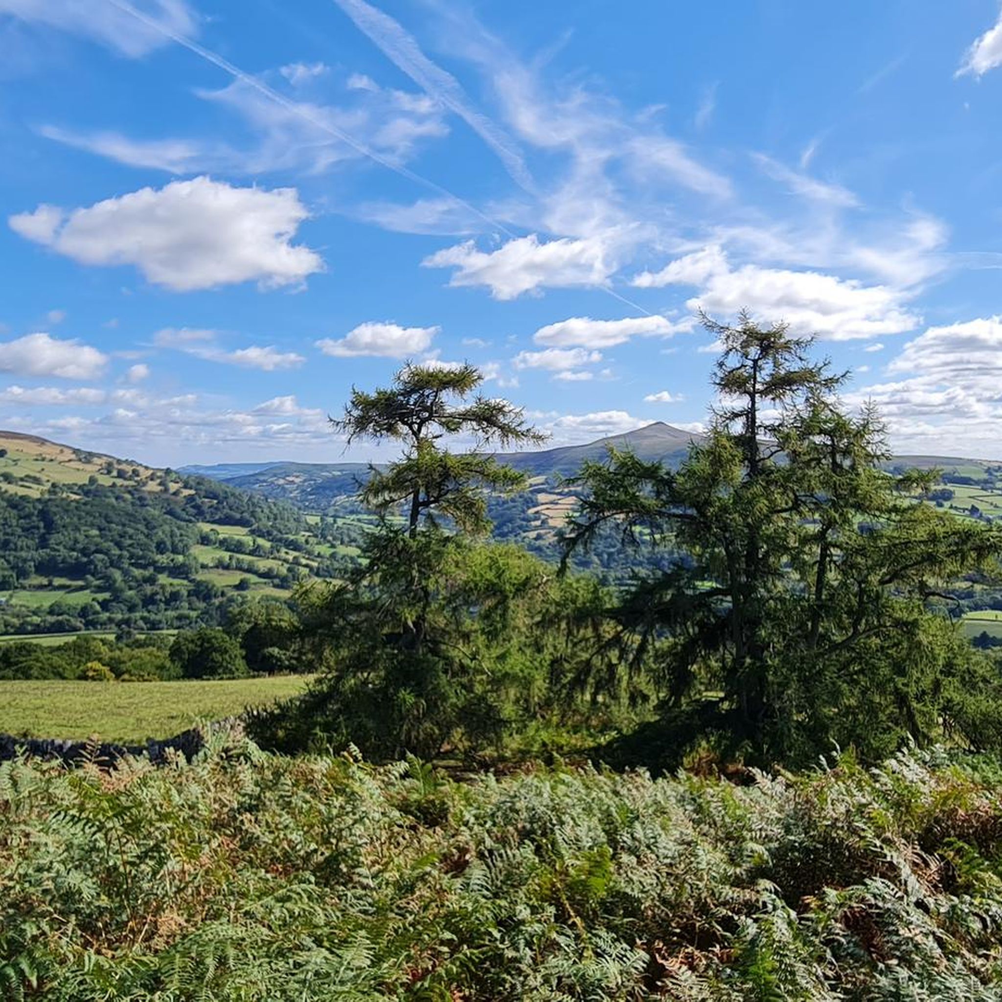
Running Trails around The Vale Of Grwyney

Gravel biking around The Vale Of Grwyney
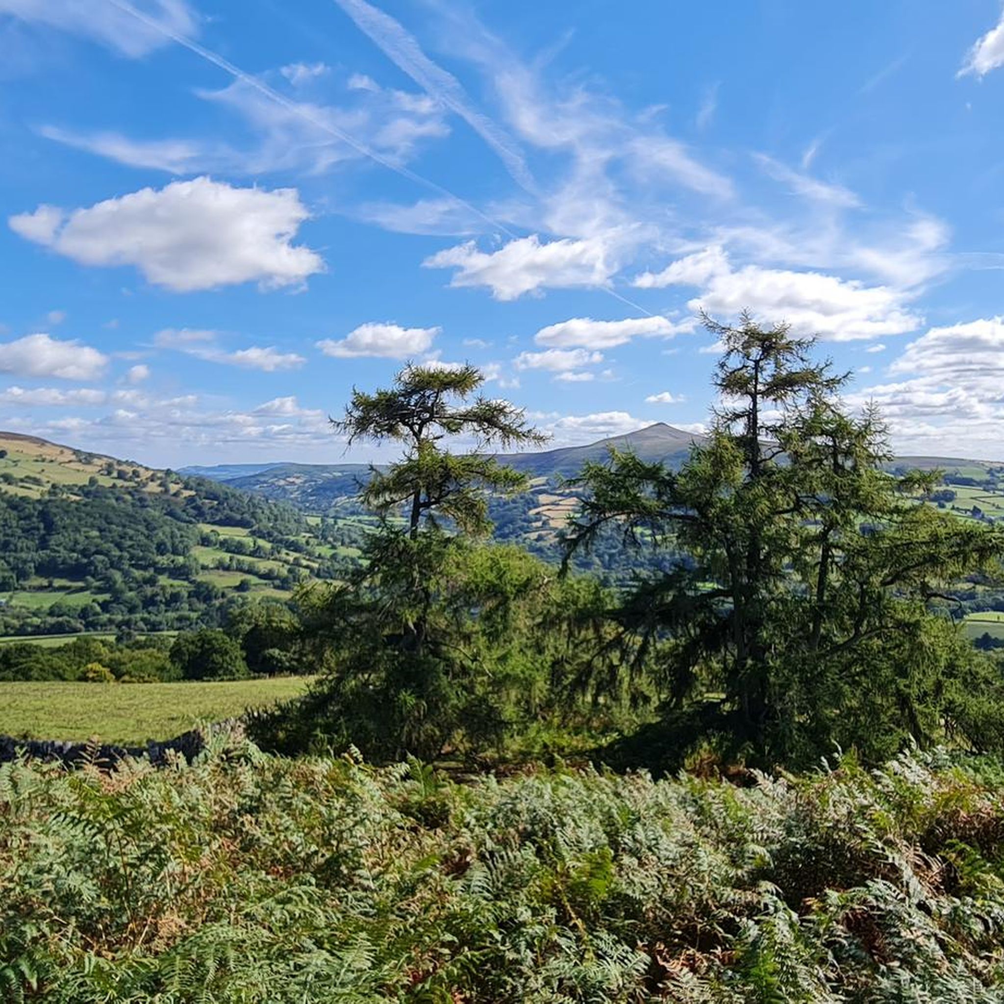
Road Cycling Routes around The Vale Of Grwyney


Tips from the Community

Easy walk, bit rocky at the top, very enjoyable walk
0
0

Keeper’s Pond is an amazing pond, outstanding beauty with great views of the Usk valley 🤩
0
2

Llangasty (St Gastyn's Church). A lovely place to stop on the southern shore of the largest natural lake in south Wales.
0
0

Nice little pond, good place to park to do the circular route of Blorenge.
1
2
Lovely little pond with an island in the middle.
1
0

Grwyne Fawr Reservoir nestles in the valley below Waun Fach, the highest summit in the Black Mountains range on the eastern edge of the Brecon Beacons National Park. At the reservoir's northern end a bothy, run by the Mountain Bothies Association, is available for free overnight stays with basic facilities. The reservoir itself is a peaceful place, built in the early 20th century but since decommissioned so it no longer supplies drinking water.
0
0

Highly recommend ❤️ Gwyne Fawr Reservoir -is located in the valley of the river Grwyne Fawr in the Brecon Beacons National Park, Wales. Completed in 1928, it has the capacity to hold 400,000,000 imperial gallons of water... There were Serious water shortages in most parts of the historic county of Monmouthshire. In fact By the end of the 19th-century, The area had seen a massive population increase as a result of the steel and coal industries but the supply of water to the area was complicated due to its high altitude. A site for a New Reservoir was chosen at the head of the Grwyne Fawr Valley mainly because at the height of, 1,725 ft / 526m above sea level making it the perfect plan with it being high enough to allow all of the Reservoirs water to be freely gravity fed to Abertillery and the surrounding areas. Work started 1912, but immediately hit numerous problems. The road up the valley could not take the weight of the heavy traction engines used for haulage. So It was decided that a new railway would be required. Then hit the first world war and proceedings were put on hold. Work recommenced 1919, the railway was completed, connected to the main line at Llanvihangel Crucorney. A village of construction workers and their families grew in the valley at Blaen-y-cwm. A community of some 300 people lived there with a hostel, canteen, day school, police station and hospital. Workmen quarried 200,000 tons of sandstone for the construction of the dam. Large boulders weighing up to 5 tons each were set in concrete to form the dam, which is 130 feet thick at its base, the walls were then faced with dressed stone. A 16-inch diameter steel pipeline was tunnelled through Coity Mountain carrying water to a holding reservoir in Cwmtillery. The dam was finally completed in February 1928, after which the railway and structures that served its construction were quickly dismantled including the workers village. The total cost of construction was reported to be £1 million.
1
0

I'm a fit 66 year old and for me this was a tough climb up from Llanfoist, but so worth it. Very stony and uneven underfoot and there are several stiles to climb over.
1
0
Frequently Asked Questions
What are the most popular lakes around The Vale Of Grwyney?
Visitors frequently enjoy Keeper's Pond (Pen-Ffordd-Goch Pond) for its stunning views across the Usk Valley and its suitability for picnics and wildlife watching. Llangorse Lake (Llyn Syfaddan) is also highly regarded as the largest natural lake in mid and south Wales, known for its rich wildlife and historical significance.
Are there family-friendly lakes in the area?
Yes, Keeper's Pond (Pen-Ffordd-Goch Pond) is a popular choice for families, offering a great spot for picnics and wildlife observation. Llangorse Lake (Llyn Syfaddan) and its associated Bird Hide are also excellent for families interested in nature and birdwatching.
What kind of wildlife can I expect to see around the lakes?
The lakes are rich in biodiversity. At Llangorse Lake, you might spot water voles, otters, warblers, coots, swallows, swifts, and large flocks of Canada geese. Keeper's Pond is also a good spot for general wildlife observation.
Are there any historical or cultural sites near the lakes?
Yes, Llangorse Lake is home to Wales's only crannog, an important historical and archaeological site. Additionally, Keeper's Pond is located within the Blaenavon World Heritage Site, an area rich in industrial archaeology. The trails around The Punchbowl Lake also follow an early 19th-century tramway system, showcasing the region's industrial past.
What outdoor activities can I do near these lakes?
The region offers a variety of outdoor activities. You can enjoy cycling on routes like the 'Gospel Pass – Llanthony Priory Ruins loop' or 'Brynich Aqueduct – Monmouthshire and Brecon Canal loop'. For running, trails such as 'Waun Fach horse shoe from Llanbedr' or 'Pen Twyn Mawr – Pen y Gadair Fawr Summit Cairn loop' are available. You can find more details on these and other routes in the Cycling around The Vale Of Grwyney and Running Trails around The Vale Of Grwyney guides.
Can I go fishing in the lakes?
Yes, fishing is a popular activity. Grwyne Fawr Reservoir is known for wild brown trout, with day tickets available from the Glanusk Estate. Llangorse Lake is also a popular destination for coarse fishing.
Are there opportunities for watersports?
Yes, Llangorse Lake is a popular spot for watersports, though a permit is required for boating, and not all areas are accessible. Devil's Punchbowl Pond is also mentioned as a great wild swimming spot.
What are the best lakes for a tranquil or secluded experience?
For a truly tranquil and wild setting, Grwyne Fawr Reservoir is ideal, offering solitude and remote beauty. The Punchbowl Lake is also described as a secluded spot for rest or a picnic within a wooded glacial cwm, and Devil's Punchbowl Pond offers a tranquil setting in ancient pasture.
Are there any challenging hikes or routes near the lakes?
Yes, the area offers challenging routes. For instance, the circuit around the Blorenge mountain, which includes The Punchbowl Lake, features steep climbs and rough terrain. For cycling, routes like 'Talgarth, Gospel Pass & Llanthony Priory loop' are rated as difficult. You can find more challenging options in the Cycling around The Vale Of Grwyney and Running Trails around The Vale Of Grwyney guides.
What kind of terrain can I expect around the lakes?
The landscape is characterized by the Old Red Sandstone hills of the Black Mountains, with sandstones and mudstones visible in riverbeds and valley sides. Around Grwyne Fawr Reservoir, you'll find steep-sided terrain. Trails around The Punchbowl Lake can involve rough terrain and some high-level walking.
Is it possible to walk all the way around Llangorse Lake?
No, it is not possible to walk all the way around Llangorse Lake. Part of the land is privately owned, which restricts a full circular walk.
What do visitors enjoy most about the lakes around The Vale Of Grwyney?
Visitors particularly appreciate the stunning views, the opportunities for picnics and wildlife watching, and the sense of tranquility and remote beauty offered by various spots. The historical and archaeological significance, especially at Llangorse Lake and around the Blaenavon World Heritage Site, also adds to the appeal.
Most popular routes around The Vale Of Grwyney
Most popular attractions around The Vale Of Grwyney

Get inspired with the komoot mobile app


Explore more
Still not found your perfect lake around The Vale Of Grwyney? Check out the guides of these regions to see even more beautiful places.
