The best mountain hikes in Heinzenberg
5.0
(1)
4
hikers
3
hikes
Mountaineering routes in Heinzenberg traverse a landscape characterized by varied terrain, including forested areas and river valleys. The region offers a mix of ascents and descents, providing diverse experiences for mountaineers. Elevations are generally moderate, with no peaks exceeding 200 meters, making it suitable for different skill levels.
Best mountaineering routes in Heinzenberg
- The most popular mountaineering route is Schafbachtal Shelter – Schafbachtal loop from NSG Schaafbachtal mit Seitentälern und Stromberg, a 7.9 miles (12.7 km) trail that takes…
Last updated: June 26, 2026
1
hikers
Moderate mountaineering route. Good fitness required. Easily-accessible paths. Suitable for all skill levels.
15.9km
04:17
210m
210m
Moderate mountaineering route. Good fitness required. Easily-accessible paths. Suitable for all skill levels.

Sign up for free
1
hikers
5.38km
01:30
110m
110m
Easy mountaineering route. Great for any fitness level. Easily-accessible paths. Suitable for all skill levels.
5.0
(1)
2
hikers
Moderate mountaineering route. Good fitness required. Easily-accessible paths. Suitable for all skill levels.
Our route recommendations are based on thousands of hikes, rides, and runs completed by other people on komoot.
Start today with a free account
Your next adventure awaits.
Login or Signup
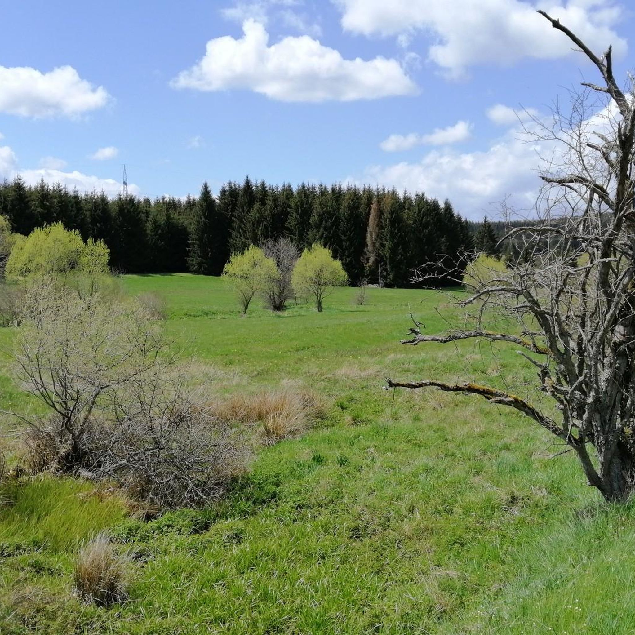
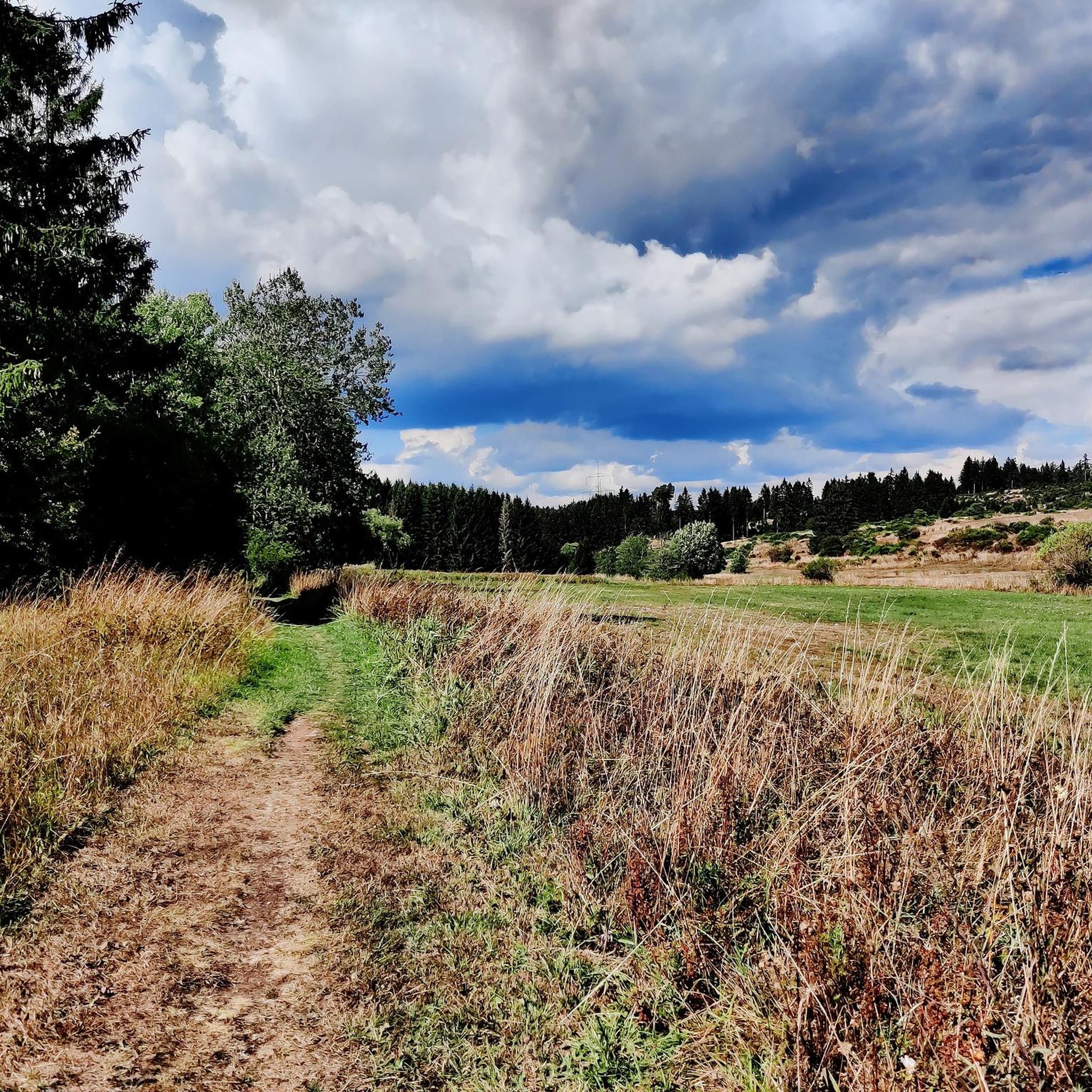
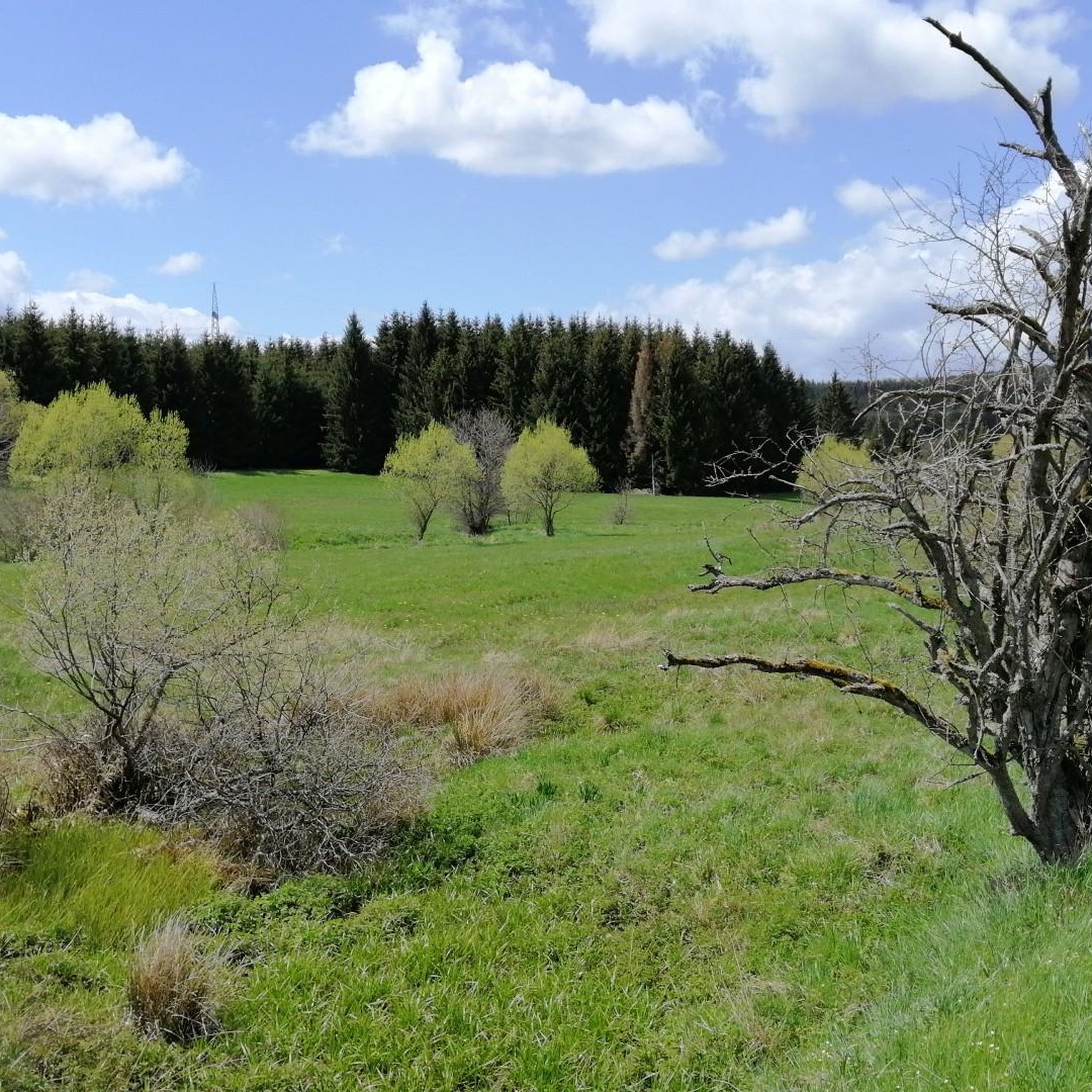
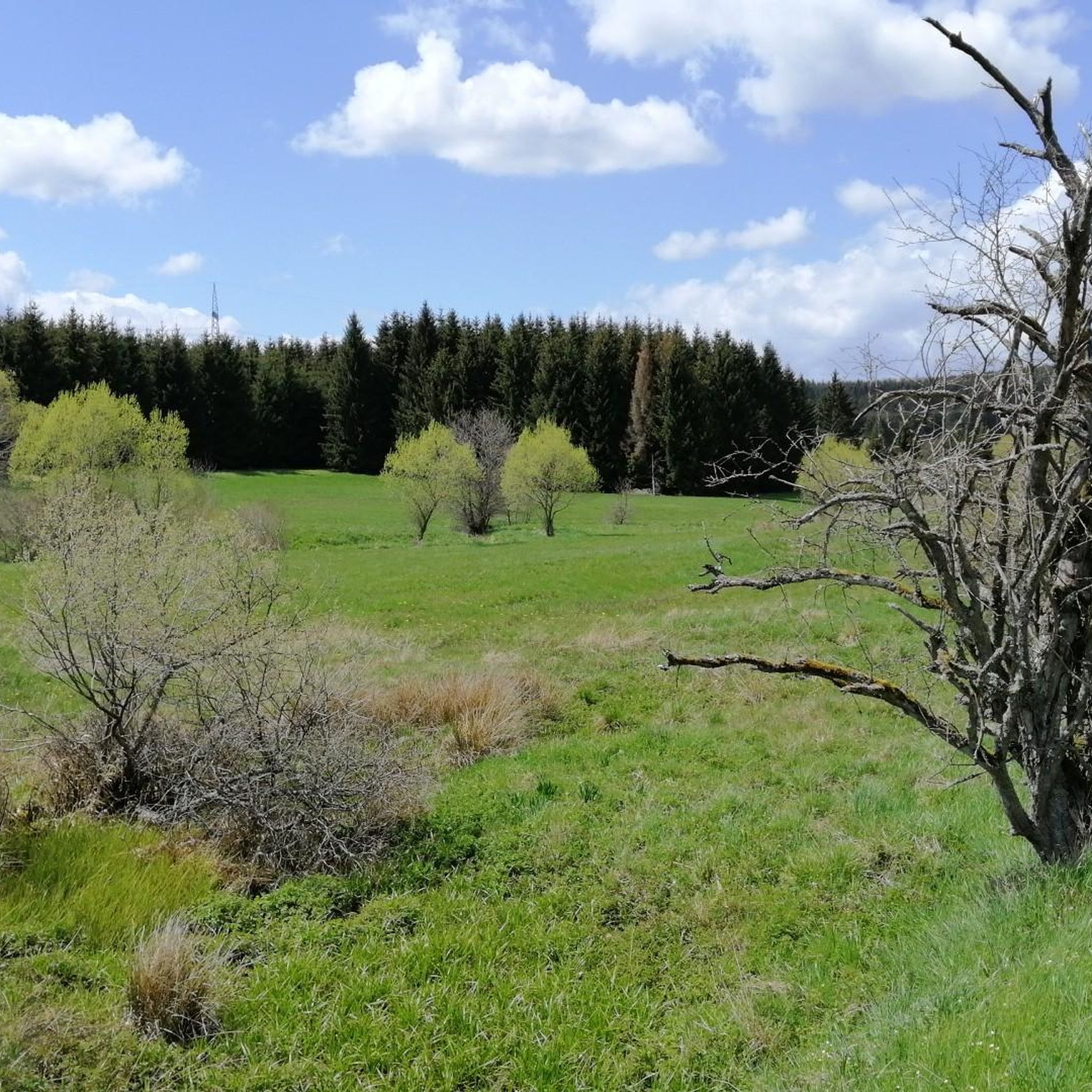
Tips from the Community

“Uhlensieten” probably means 🦉 owl seat, because the chair 🪑 looks like that
0
0

Opposite the rest area with photo booth is the beautiful meadow....
0
0

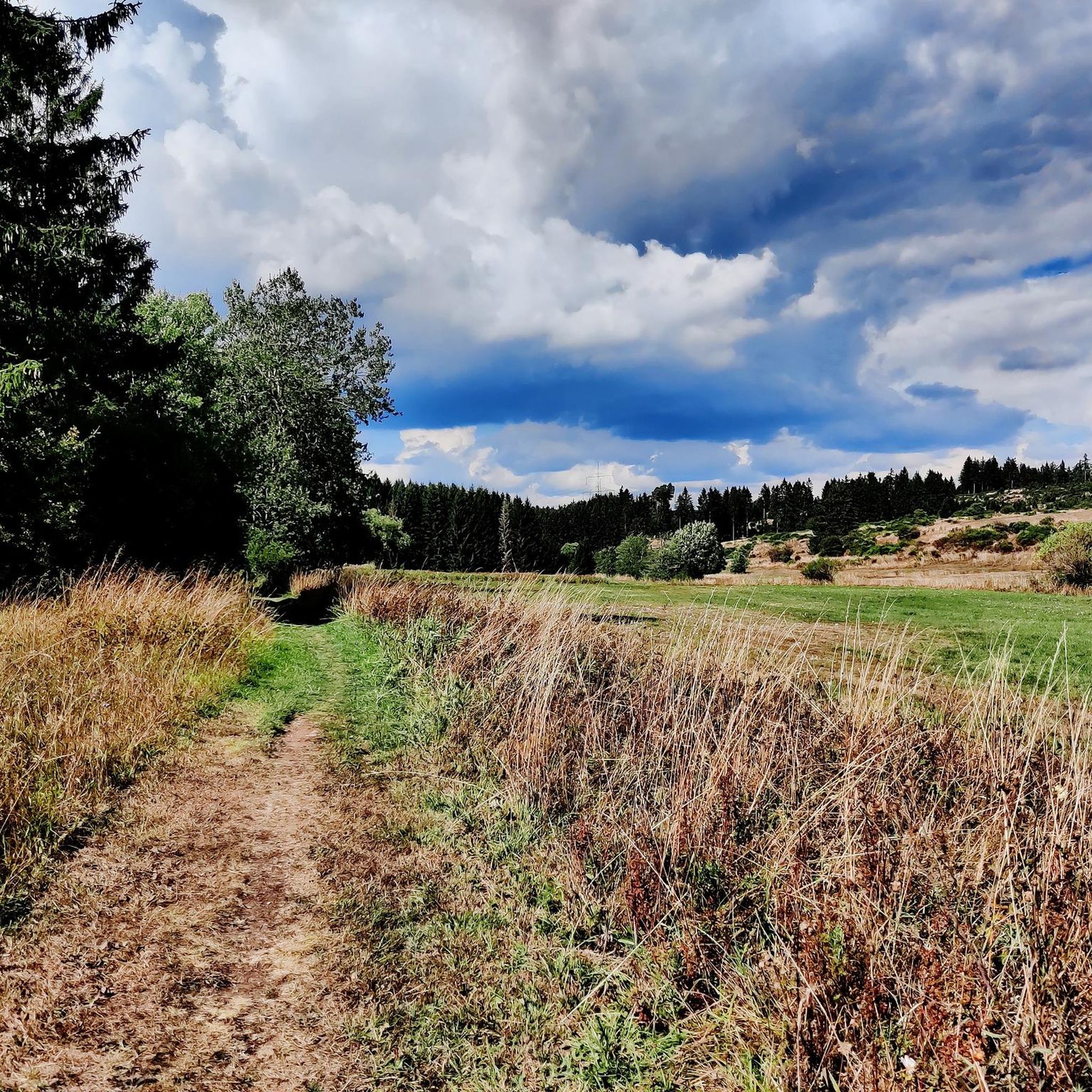
Pure nature, like the numerous valleys we have roamed through on our hikes
0
0

Parking is located directly on the Moorpfad
0
0

A source of strength that touches the soul.
4
1

There's a small parking lot that's free to use. However, it's very crowded during the day on weekends.
0
0
On some nice days the parking lot 🅿️ is almost too small (about 10 vehicles 🚗), but there is enough room on the side of the road for twice as many cars.
1
0

Part of the Eifelsteig, stage 7 https://youtu.be/jHUprXl805k
0
0
Frequently Asked Questions
What is the general difficulty level of mountaineering routes in Heinzenberg?
The mountaineering routes in Heinzenberg are generally considered moderate, with one route classified as easy. The region features moderate ascents and descents, and no peaks exceed 200 meters, making it accessible for various skill levels.
Are there family-friendly mountaineering routes in Heinzenberg?
Yes, Heinzenberg offers routes suitable for families. The Dahlem Moor Boardwalk – Heiden-Kopf II loop from Dahlem (Eifel) is an easy 3.3-mile (5.4 km) trail that takes about 1 hour 30 minutes, perfect for a family outing through moorland and forested sections.
How long do mountaineering routes in Heinzenberg typically take to complete?
The duration of mountaineering routes in Heinzenberg varies. Shorter routes, like the Dahlem Moor Boardwalk – Heiden-Kopf II loop from Dahlem (Eifel), can be completed in about 1 hour 30 minutes. Longer routes, such as the Jesus Cross at the Fork loop from Obere Urft, may take around 4 hours 17 minutes.
What is the typical distance for mountaineering trails in Heinzenberg?
Mountaineering trails in Heinzenberg range from approximately 3.3 miles (5.4 km) to 9.9 miles (15.9 km). This variety allows you to choose a route that matches your desired distance and time commitment.
What natural attractions can I see near the mountaineering routes in Heinzenberg?
Along and near the mountaineering routes, you can discover several natural attractions. Highlights include the tranquil Römerweiher and Pond Stahlbuschseifen, as well as the notable Breakfast Beech and the Haubachtal Nature Reserve.
Are there any historical sites or points of interest along the routes?
Yes, Heinzenberg offers points of historical interest. You can explore the Late Roman fort on the Urft and the Deichelweiher In der Rhenn, which are highlights in the region.
Is parking available at the trailheads for Heinzenberg mountaineering routes?
While specific parking information for each trailhead is not detailed, most popular starting points for outdoor activities in regions like Heinzenberg typically offer designated parking areas or roadside parking options. It's advisable to check local signage upon arrival.
Can I reach Heinzenberg mountaineering trailheads by public transport?
Public transport options to specific trailheads in Heinzenberg can be limited, as is common in more rural mountaineering areas. We recommend checking local bus schedules or regional train connections to nearby towns and planning your onward journey to the trailhead accordingly.
Do I need a permit for mountaineering in Heinzenberg?
Generally, permits are not required for mountaineering on the established trails in Heinzenberg. However, always respect local regulations, especially when traversing nature reserves or private land.
What do other mountaineers say about the routes in Heinzenberg?
The mountaineering routes in Heinzenberg are highly rated by the komoot community, with an average score of 5.0 stars. Users often praise the varied landscapes, including forested valleys and open moorland, and the well-maintained paths that offer diverse experiences.
When is the best time of year for mountaineering in Heinzenberg?
The best time for mountaineering in Heinzenberg is typically during spring, summer, and early autumn. These seasons offer more stable weather conditions, pleasant temperatures, and full access to the trails. Always check the local forecast before heading out.
What should I wear for mountaineering in Heinzenberg?
For mountaineering in Heinzenberg, we recommend wearing sturdy hiking boots, layered clothing suitable for varying weather conditions, and carrying rain gear. Even on shorter routes, it's wise to bring water, snacks, and a map or GPS device.
Are there any viewpoints along the mountaineering routes in Heinzenberg?
While specific named viewpoints are not highlighted, the varied terrain of Heinzenberg, with its forested valleys and open moorland, naturally offers numerous scenic spots and vistas along the trails. The moderate elevations provide ample opportunities for expansive views of the surrounding landscape.
How many mountaineering routes are available in Heinzenberg?
There are several mountaineering routes available in Heinzenberg, offering a range of experiences. Our guide features four distinct routes, including the Schafbachtal Shelter – Schafbachtal loop from NSG Schaafbachtal mit Seitentälern und Stromberg and the Entrance to Steinfeld Abbey – Steinfeld Monastery Wall Trail loop from NSG Kallbach und Rotzbach.
Most popular routes in Heinzenberg
Most popular attractions in Heinzenberg

Get inspired with the komoot mobile app


Explore more
Browse the best Mountain Hikes & Routes in other regions.
