The best mountain hikes around Stausee Obermaubach
4.3
(18)
28
hikers
4
hikes
Mountaineering routes around Stausee Obermaubach are characterized by the Rur river valley, the reservoir itself, and the surrounding forested hills of the Eifel region. The terrain offers a mix of riverside paths, climbs through woodlands, and views over the water. This area provides diverse landscapes for mountaineers seeking varied experiences.
Best mountaineering routes around Stausee Obermaubach
- The most popular mountaineering route is Eugenienstein – Mausauel Rur Bridge loop from Nideggen, a 8.0 miles (12.9 km) trail that takes 3…
Last updated: September 27, 2026
5.0
(1)
4
hikers
8.29km
02:28
230m
230m
Moderate mountaineering route. Good fitness required. Mostly accessible paths. Sure-footedness required.
4.8
(18)
23
hikers
19.8km
05:58
610m
610m
Hard mountaineering route. Very good fitness required. Easily-accessible paths. Suitable for all skill levels.

3.0
(1)
2
hikers
4.02km
01:10
100m
100m
Easy mountaineering route. Great for any fitness level. Easily-accessible paths. Suitable for all skill levels.
1
hikers
Moderate mountaineering route. Good fitness required. Easily-accessible paths. Suitable for all skill levels.
Our route recommendations are based on thousands of hikes, rides, and runs completed by other people on komoot.
Start today with a free account
Your next adventure awaits.
Popular around Stausee Obermaubach
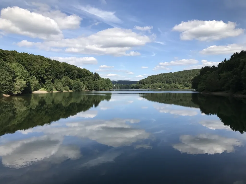
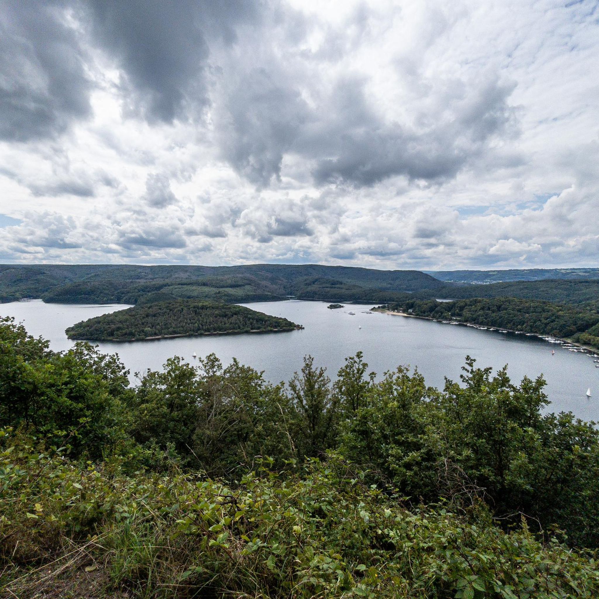
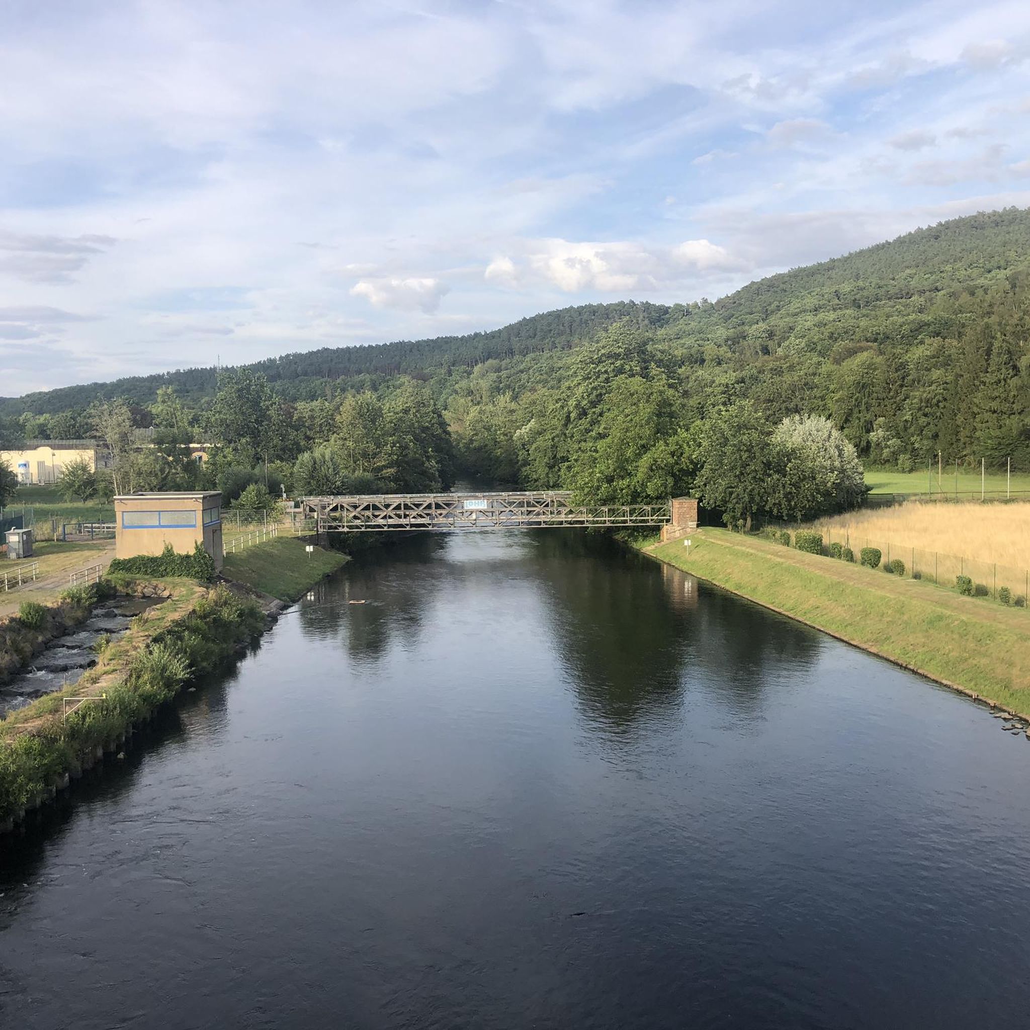
Other adventures around Stausee Obermaubach

Tips from the Community

Hi 👋😊 This highlight is located in the Eifel National Park. To protect sensitive species, there are special rules here: Stay on official paths, keep dogs on a leash, take your trash back with you, and cycle/MTB only on designated paths. Smoking and fires are taboo – wildfire risk🔥! Thanks for your understanding! 💚 Further information can be found at www.nationalpark-eifel.de. We wish you a great time in the emerging wilderness!
1
0


This route offers room for variations....
0
0

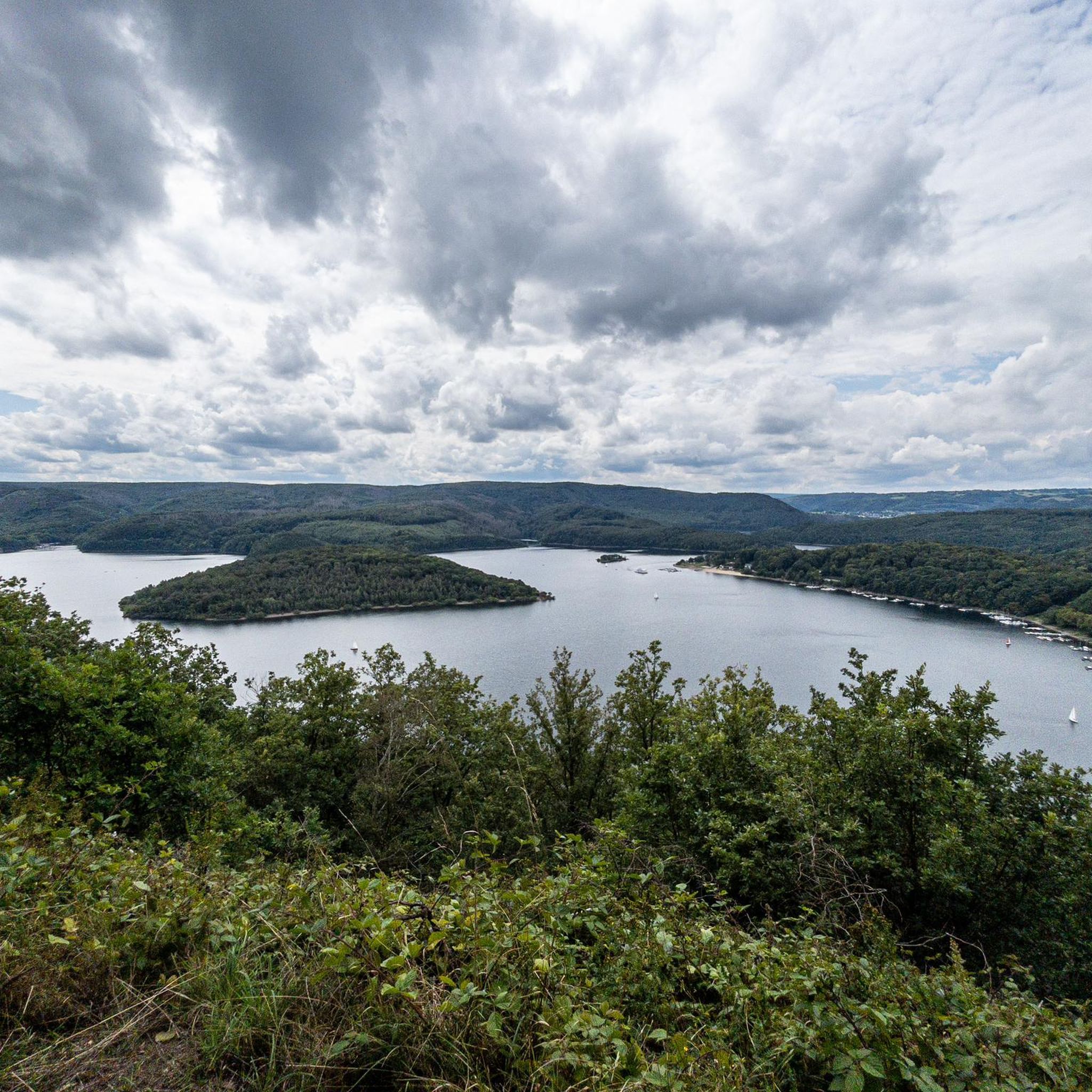
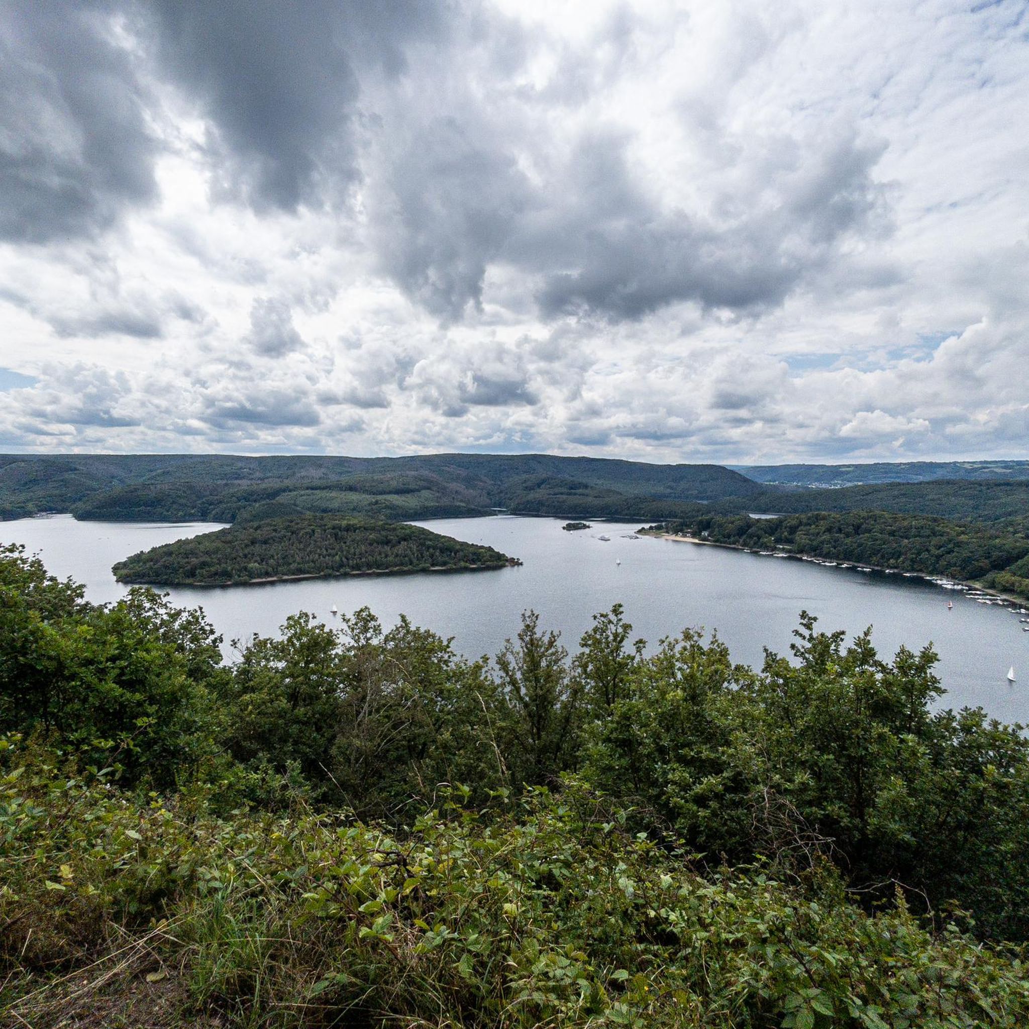
Great view of the lake
0
0

Great area… Absolutely recommendable, definitely again that’s for sure
1
0

Through the Hindenburger Gate, up the rocky path and you come to a viewpoint with a beautiful view of the Rur valley
3
0

Anyone familiar with the ancient idiom—now largely lost—will recognize the root word "meucheln" (to kill/murder) in the "Meuchelberg" found here. The fact that the local cemetery is located at its foot on the outskirts of Heimbach naturally reinforces this impression. GH's interesting article, with its link to several legends that—albeit with different interpretations of the details—all convey the same core message, could indeed explain the name.
8
0

The forest path that leads there is also easy to walk with a stroller.
2
0
Frequently Asked Questions
How many mountaineering routes are available around Stausee Obermaubach?
There are 5 distinct mountaineering routes around Stausee Obermaubach, offering a range of experiences from easy strolls to more challenging ascents.
Are there any easy or beginner-friendly mountaineering routes near Stausee Obermaubach?
Yes, for those seeking a gentler experience, the Heimbach Reservoir loop from Rur Dam is an easy route. It's a 4.2 km path that takes about 1 hour 13 minutes to complete, offering pleasant views without significant climbs.
What are some challenging mountaineering routes in the Stausee Obermaubach area?
For a more demanding adventure, consider the Staubecken Heimbach – Meuchelberg loop from Hausen. This difficult 20.1 km trail involves significant elevation changes and typically takes over 6 hours to complete.
Are there any circular mountaineering routes around Stausee Obermaubach?
Yes, many of the routes are designed as loops. For example, the popular Eugenienstein – Mausauel Rur Bridge loop from Nideggen is an 8-mile (12.9 km) circular trail that offers diverse scenery.
What kind of attractions can I see along the mountaineering routes?
The routes often feature views of the Rur river and the reservoir itself. You can also discover points of interest like the Obermaubach Fish Pass or the historic Nideggen Old Town and Castle on some trails.
Are the mountaineering routes around Stausee Obermaubach suitable for families?
While some routes involve significant climbs, there are options suitable for families. The easier routes, such as the Heimbach Reservoir loop from Rur Dam, offer shorter distances and less elevation, making them more accessible for children.
Can I bring my dog on the mountaineering trails?
Generally, dogs are welcome on trails in the Eifel region, but it's always advisable to keep them on a leash, especially near wildlife or livestock. Be sure to check local regulations for specific areas or nature reserves you plan to visit.
What is the best time of year for mountaineering around Stausee Obermaubach?
Spring and autumn are often considered ideal for mountaineering in this region, with pleasant temperatures and vibrant foliage. Summer offers longer daylight hours, but can be warmer, while winter can bring snow and ice, requiring appropriate gear and caution.
Where can I park when visiting the mountaineering routes?
Parking is typically available near trailheads in towns like Nideggen, Hausen, or close to the reservoirs. Specific parking information can often be found on the individual route pages on komoot or local tourism websites.
Are there any places to eat or drink near the trails?
Yes, towns such as Nideggen and Heimbach, which serve as starting points for several routes, offer various restaurants, cafes, and pubs where you can refuel after your mountaineering adventure.
What do other mountaineers say about the routes in Stausee Obermaubach?
The routes in Stausee Obermaubach are highly rated by the komoot community, with an average score of 4.2 stars from over 10 reviews. Mountaineers often praise the diverse landscapes, including reservoir views, dense woodlands, and river valleys.
Is there public transport access to the trailheads?
The Rurtalbahn (Rur Valley Railway) serves several locations in the region, including stations near the reservoirs and towns like Nideggen and Heimbach, which can provide access to various trailheads. Check the local public transport schedules for detailed planning.
Are there any hidden gem routes that are less frequented?
While the main routes are popular, exploring the smaller paths connecting them can reveal quieter sections. The Taucherbucht loop from Senkelbachquellen, for instance, offers a moderate 11.4 km experience through varied terrain that might feel more secluded.
Most popular routes around Stausee Obermaubach
Most popular attractions around Stausee Obermaubach

Get inspired with the komoot mobile app


Explore more
Browse the best Mountain Hikes & Routes in other regions.
