The best mountain hikes around Igensdorf
7
hikers
3
hikes
Mountaineering routes around Igensdorf are situated within the Franconian Switzerland-Veldenstein Forest Nature Park, a region known for its diverse landscape. The area features scenic river valleys, extensive cherry orchards, and significant geological formations from the Jurassic period, including limestone sediments. Prominent natural landmarks like the Walberla Plateau and the Lillach Tufa Terraces offer varied terrain for outdoor activities. This environment provides a range of natural attractions for mountaineers.
Best mountaineering routes around Igensdorf
- The most popular mountaineering route is Twin…
Last updated: October 8, 2026
3
hikers
5.69km
01:45
210m
210m
Easy mountaineering route. Great for any fitness level. Easily-accessible paths. Suitable for all skill levels.
1
hikers
5.15km
01:30
130m
130m
Easy mountaineering route. Great for any fitness level. Easily-accessible paths. Suitable for all skill levels.

2
hikers
Moderate mountaineering route. Good fitness required. Easily-accessible paths. Suitable for all skill levels.
1
hikers
5.39km
01:38
180m
180m
Easy mountaineering route. Great for any fitness level. Easily-accessible paths. Suitable for all skill levels.
Our route recommendations are based on thousands of hikes, rides, and runs completed by other people on komoot.
Start today with a free account
Your next adventure awaits.
Popular around Igensdorf

No time for boredom – family hikes with a fun factor in Bayern
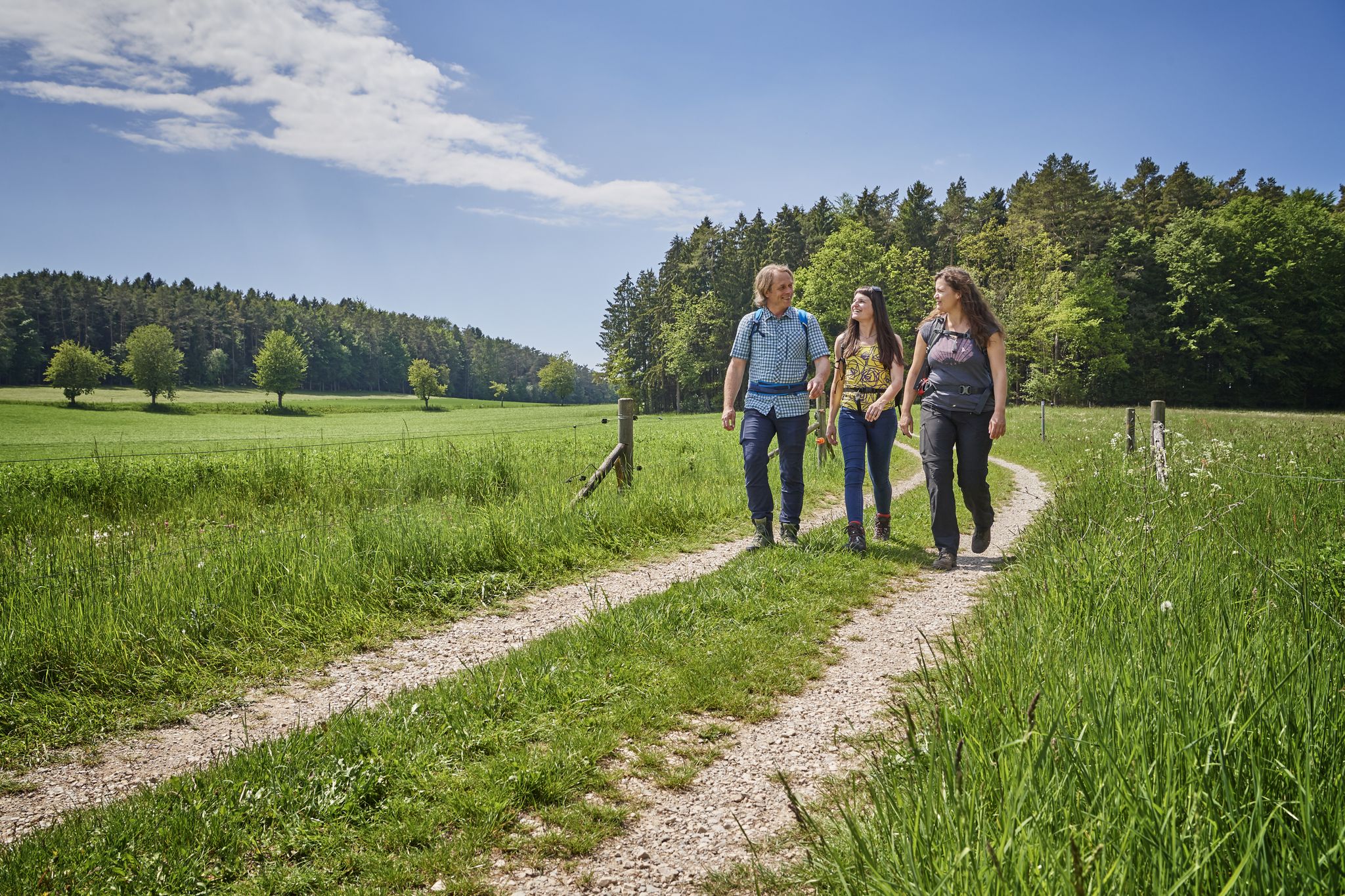
Hops, barley & beer — hiking with VGN leisure tips through Franconia

Hike & Beer in Franconia and Upper Palatinate — the VGN leisure tips
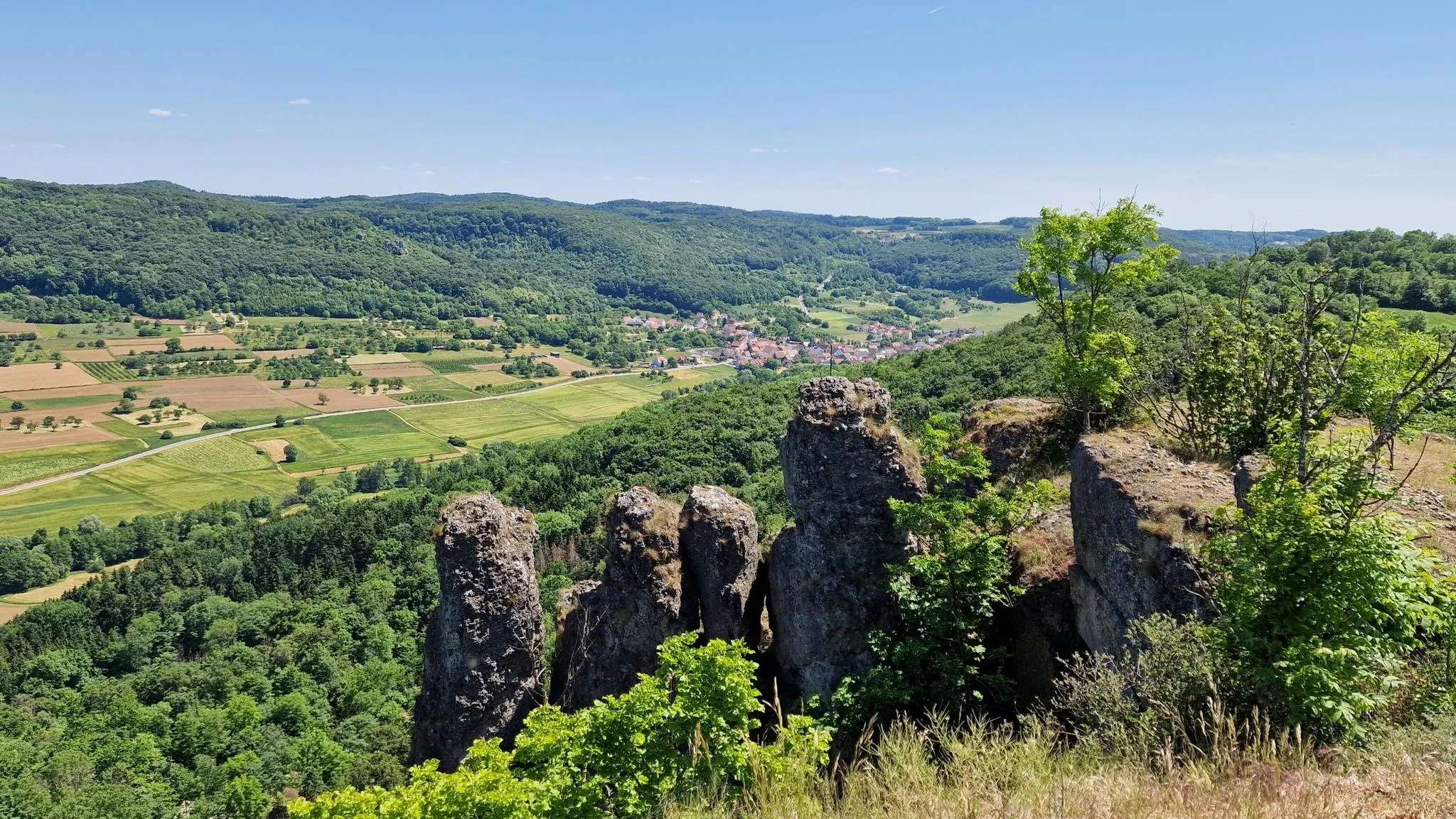
Delightful hiking in Franconian Switzerland
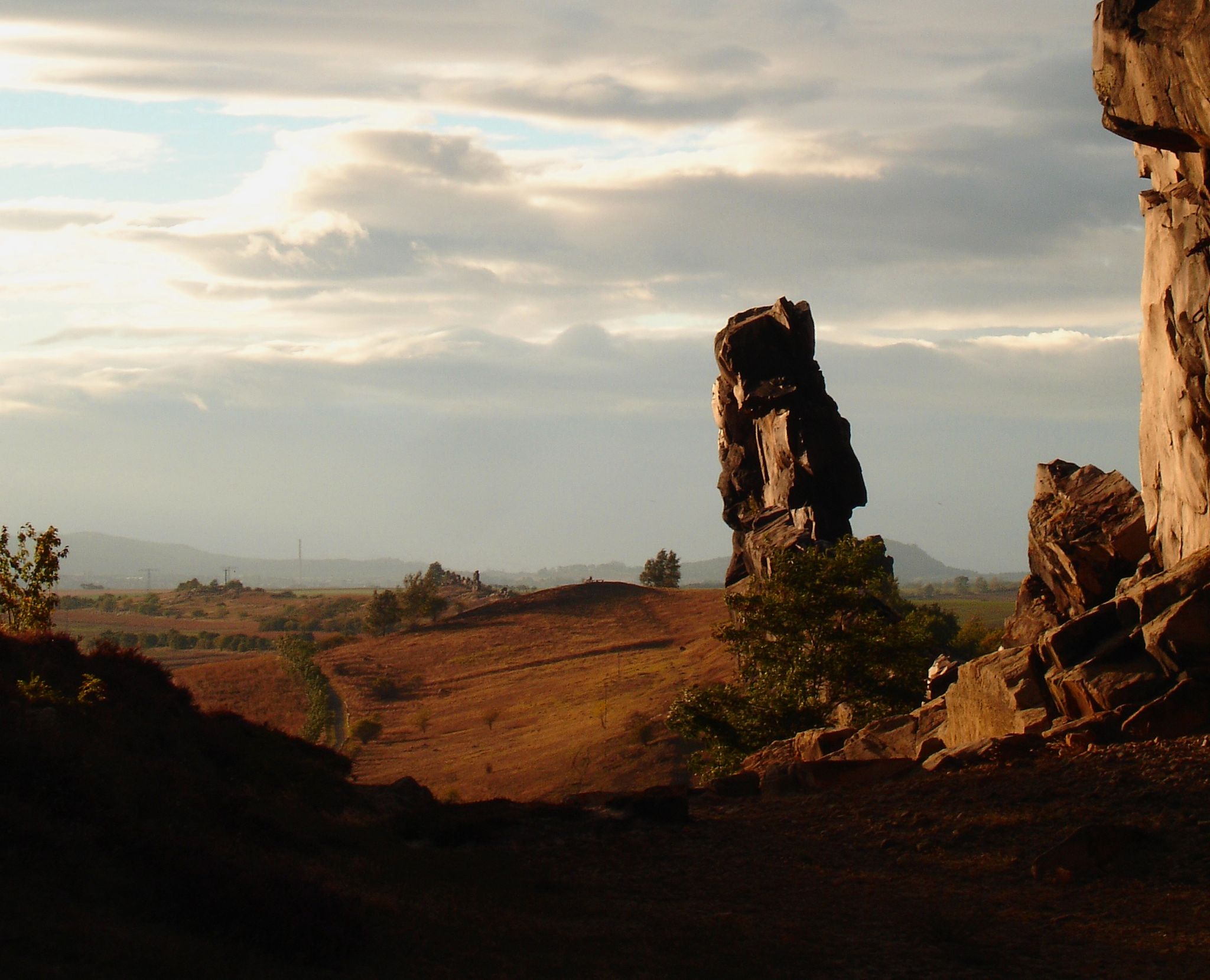
Devilish places
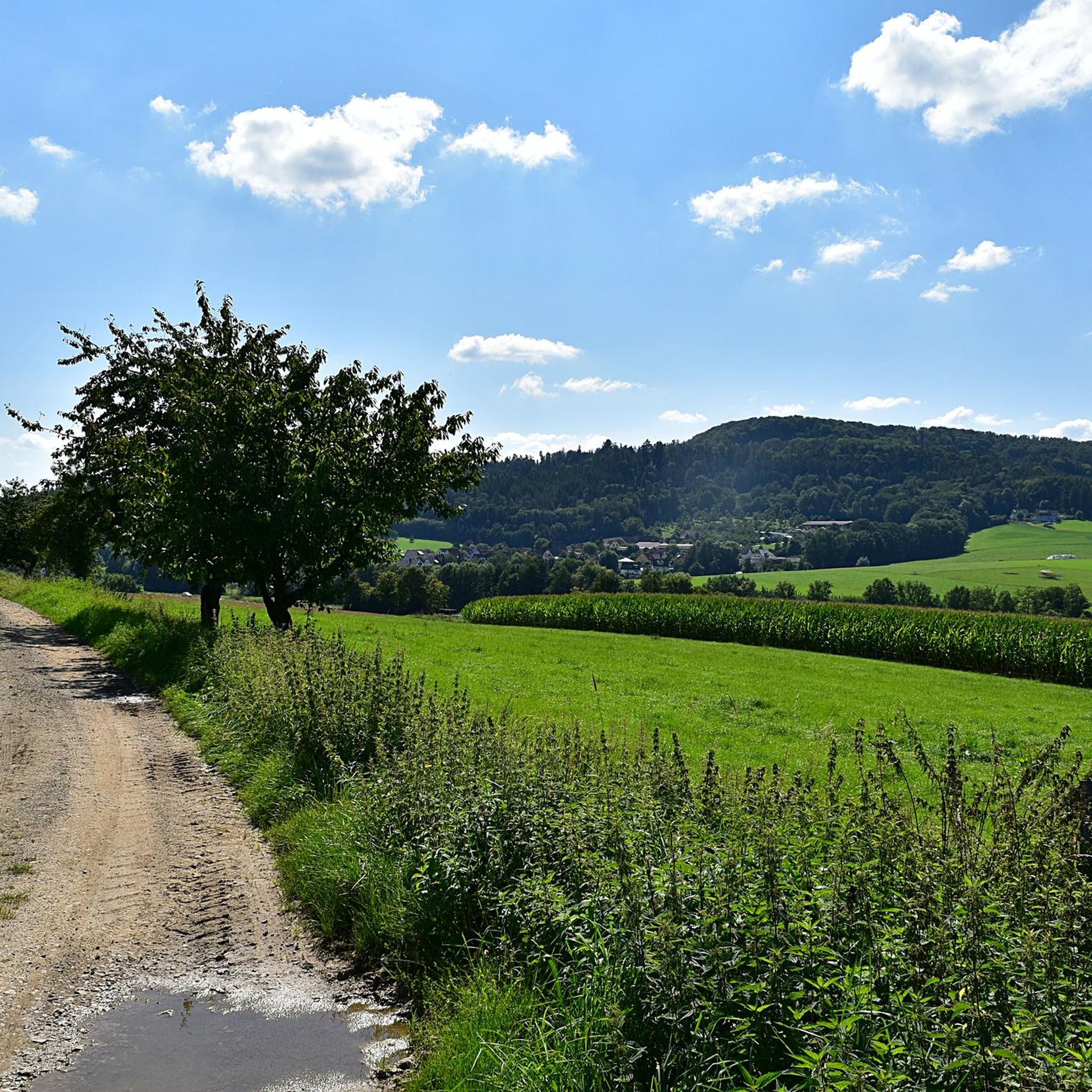
Hiking around Igensdorf
Cycling around Igensdorf
Road Cycling Routes around Igensdorf
MTB Trails around Igensdorf
Running Trails around Igensdorf
Other adventures around Igensdorf


Tips from the Community

Fascinating rock formations at the Franconian landmark Walberla.
1
0

In my opinion the best path Connection Leutenbach and St. Moritz - mostly hidden in the woods with a few nice views on the Leutenbach valley and beyond
0
0


It is always interesting to learn something about the past in this short and concise way.
0
0

Coming from Schlaifhausen, this is the first great view and a resting place after the climb.
3
1

Climbing rocks in the forest and viewing platform
1
0

Great view. A beautiful sea of flowers at this time of year.
2
1

For climbers, the name Wailing Wall says it all. Anyone who tries to dig into the tiny holes here can quickly find themselves complaining. The rock is up to seven meters high and is part of the Signal Stone.
10
0
Frequently Asked Questions
How many mountaineering routes are available around Igensdorf?
There are 5 mountaineering routes around Igensdorf listed in this guide, offering a variety of experiences for different skill levels. You'll find options ranging from easy walks to more challenging ascents through the diverse landscape of Franconian Switzerland.
Are there easy mountaineering routes suitable for beginners in Igensdorf?
Yes, Igensdorf offers several easy mountaineering routes perfect for beginners or those looking for a relaxed experience. For instance, the Moritz Spring – Kapuzinerfelsen Viewpoint loop from Leutenbach is an easy 3.2-mile path leading to panoramic vistas. Another accessible option is the Walberla – Cave at the Steinerne Frau loop from Leutenbach, which is about 3.3 miles long.
What kind of natural features can I expect to see on mountaineering routes around Igensdorf?
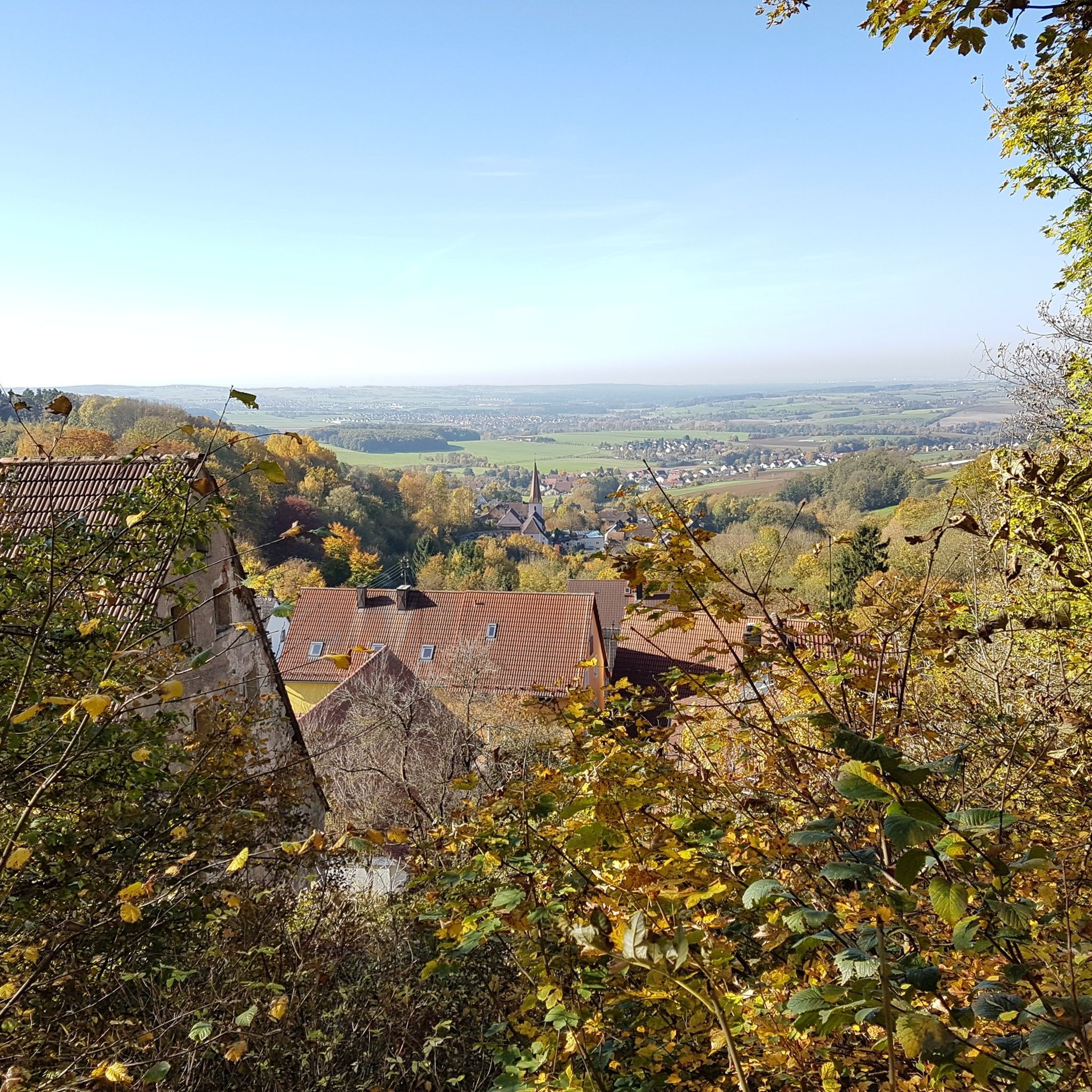
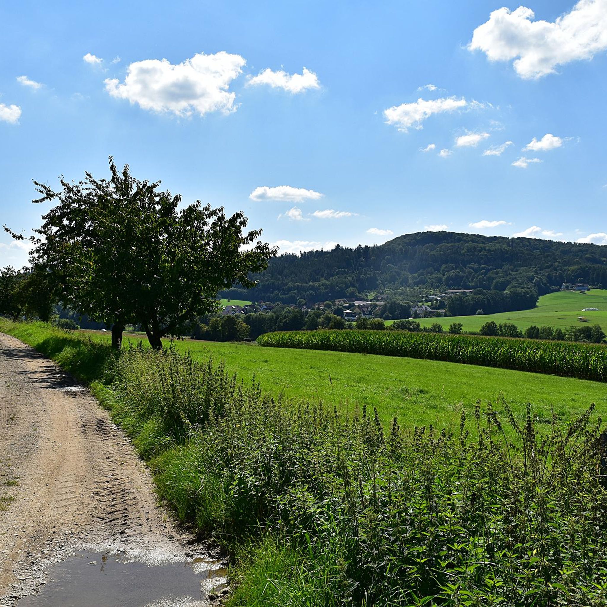
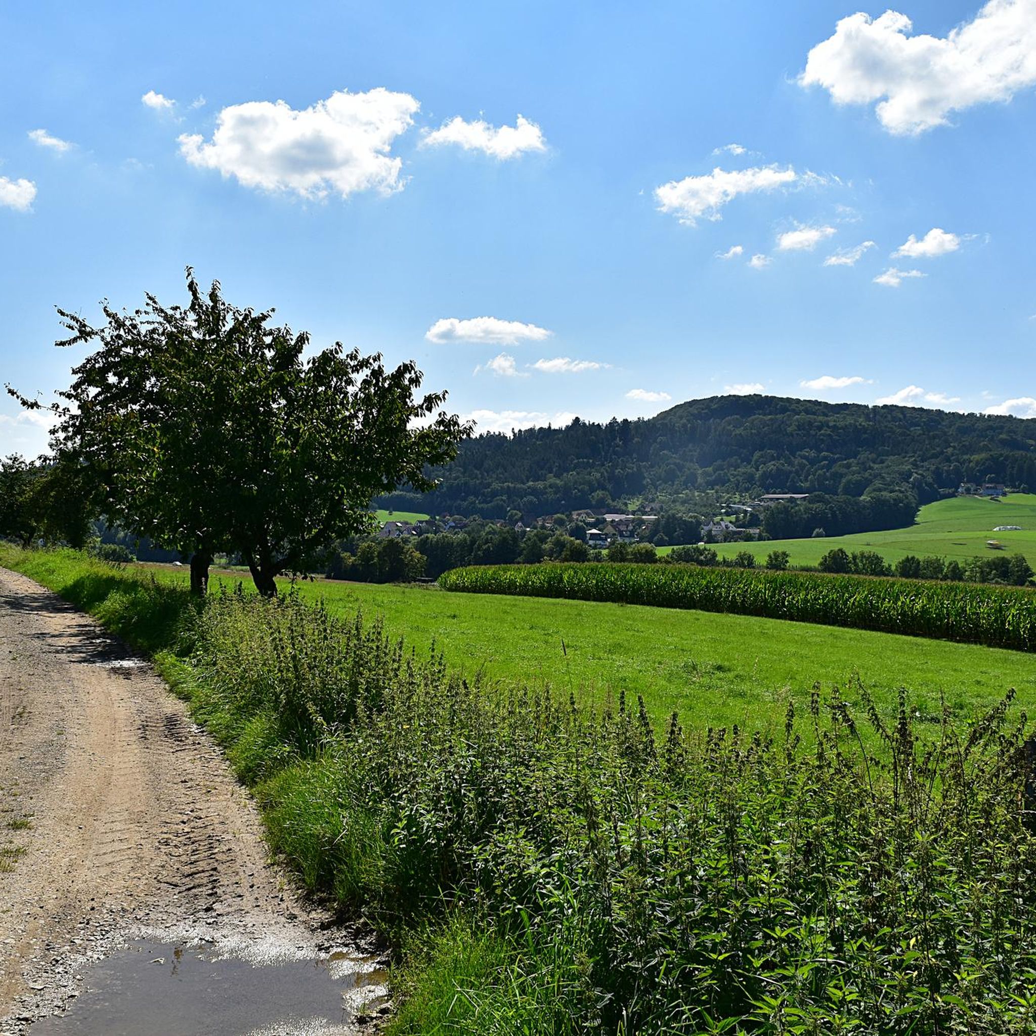
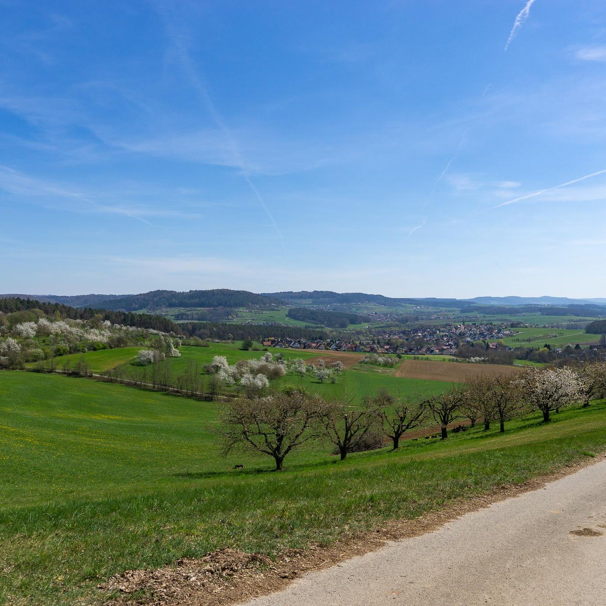
The region around Igensdorf is rich in natural beauty. You'll encounter scenic river valleys, extensive cherry orchards (especially beautiful during blossom season in April), and significant geological formations from the Jurassic period. Notable landmarks include the prominent Walberla Plateau, offering excellent panoramic views, and the unique Lillach Tufa Terraces, which are particularly striking after rainfall.
Are there any routes that offer good viewpoints?
Absolutely! Many routes in the Igensdorf area provide stunning viewpoints. The Twin rock formation at Walberla – Cave at the Steinerne Frau loop from Leutenbach offers views of the Walberla plateau. The Walberla Plateau itself, with its Walburgis Chapel, is a prime spot for panoramic vistas of Franconian Switzerland. You can also find great views along the Moritz Spring – Kapuzinerfelsen Viewpoint loop from Leutenbach.
Are there any circular mountaineering routes in the area?
Yes, many of the mountaineering routes around Igensdorf are designed as loops, allowing you to start and end at the same point. Examples include the Community Weißenohe – Gräfenberg Old Town loop from Weißenohe, a longer 10-mile trail, and the Klagemauer Rock Formation – Signalstein (lookout rock) loop from Obertrubach, which is about 8.5 miles long.
What do other mountaineers enjoy most about the routes in Igensdorf?
The mountaineering routes around Igensdorf are highly rated by the komoot community, with an average score of 4.0 stars. Reviewers often praise the diverse landscape, including river valleys, cherry orchards, and unique geological formations, as well as the variety of options for different ability levels.
Are there any waterfalls or interesting water features along the routes?
Yes, the region is known for its beautiful water features. The Lillach Tufa Terraces are a striking natural monument along the Lillach river, offering a picturesque walking path. You might also encounter the Sinter terraces and waterfall on the Wasserwiesenbach or the Moritzbach Waterfall and Tufa Terraces in the wider area.
Are there any historical sites or landmarks to explore near the mountaineering trails?
Beyond the natural beauty, the region offers historical points of interest. You can explore the remains of Burgstall Hainburg, a former castle with visible traces and informative displays. The Community Weißenohe – Gräfenberg Old Town loop from Weißenohe, for example, leads through varied terrain and historical towns.
What is the best time of year for mountaineering in Igensdorf?
While mountaineering can be enjoyed year-round, spring is particularly beautiful when the extensive cherry orchards along the Albtrauf slopes are in full blossom, typically in April. Autumn also offers stunning scenery with vibrant fall colors. For optimal water flow at the Lillach Tufa Terraces, visiting after rainfall or in spring is recommended.
Are there any challenging mountaineering routes for experienced hikers?
While many routes are easy to moderate, the diverse terrain of Franconian Switzerland offers opportunities for more challenging ascents. The region is known for its climbing areas, and some mountaineering routes may involve steeper sections. For example, the Klagemauer Rock Formation – Signalstein (lookout rock) loop from Obertrubach is rated as moderate and covers a significant elevation gain.
Can I find places to eat or stay near the mountaineering routes?
Yes, the Franconian Switzerland region is well-equipped for visitors. You'll find various cafes, pubs, and accommodation options in and around Igensdorf and nearby towns. Excursions along the Wiesent river, for instance, can lead you to the Felsenkeller (rock cellars) of Streitberg, known for refreshments.
Most popular routes around Igensdorf
Most popular attractions around Igensdorf

Get inspired with the komoot mobile app


Explore more
Browse the best Mountain Hikes & Routes in other regions.
