The best mountain hikes around Ebensfeld
3
hikers
3
hikes
Mountaineering around Ebensfeld offers diverse terrain, situated as the "Gateway to the Gottesgarten" between the Franconian Jura and the Eierberge. The region features rolling hills, picturesque valleys, and prominent viewpoints like the Staffelberg. Routes often follow the renatured Main River and incorporate historical landmarks, providing varied landscapes for exploration. This area is characterized by a mix of forests, open fields, and elevated sections, suitable for challenging hikes.
Best mountaineering routes around Ebensfeld
- The most popular mountaineering route is Staffelberg loop…
Last updated: October 8, 2026
2
hikers
11.1km
03:14
280m
280m
Moderate mountaineering route. Good fitness required. Mostly accessible paths. Sure-footedness required.
1
hikers
13.1km
03:55
380m
380m
Moderate mountaineering route. Good fitness required. Mostly accessible paths. Sure-footedness required.

8.77km
02:32
230m
230m
Moderate mountaineering route. Good fitness required. Easily-accessible paths. Suitable for all skill levels.
Our route recommendations are based on thousands of hikes, rides, and runs completed by other people on komoot.
Start today with a free account
Your next adventure awaits.
Popular around Ebensfeld
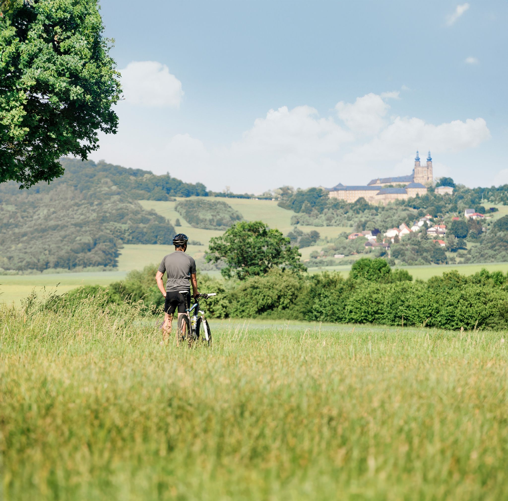
Panoramic cycling in the Obermain.Jura – discovering Franconia by bike
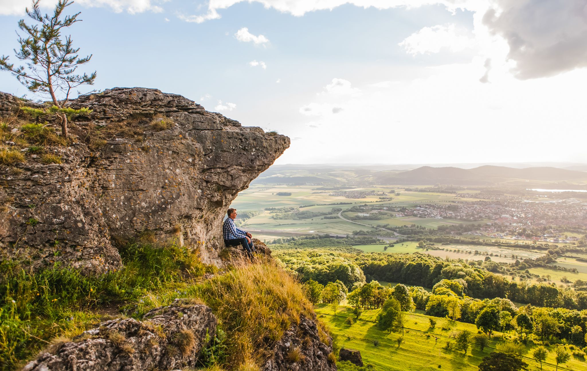
Our 10 favourite Tours through Upper Main’s Garden of Eden
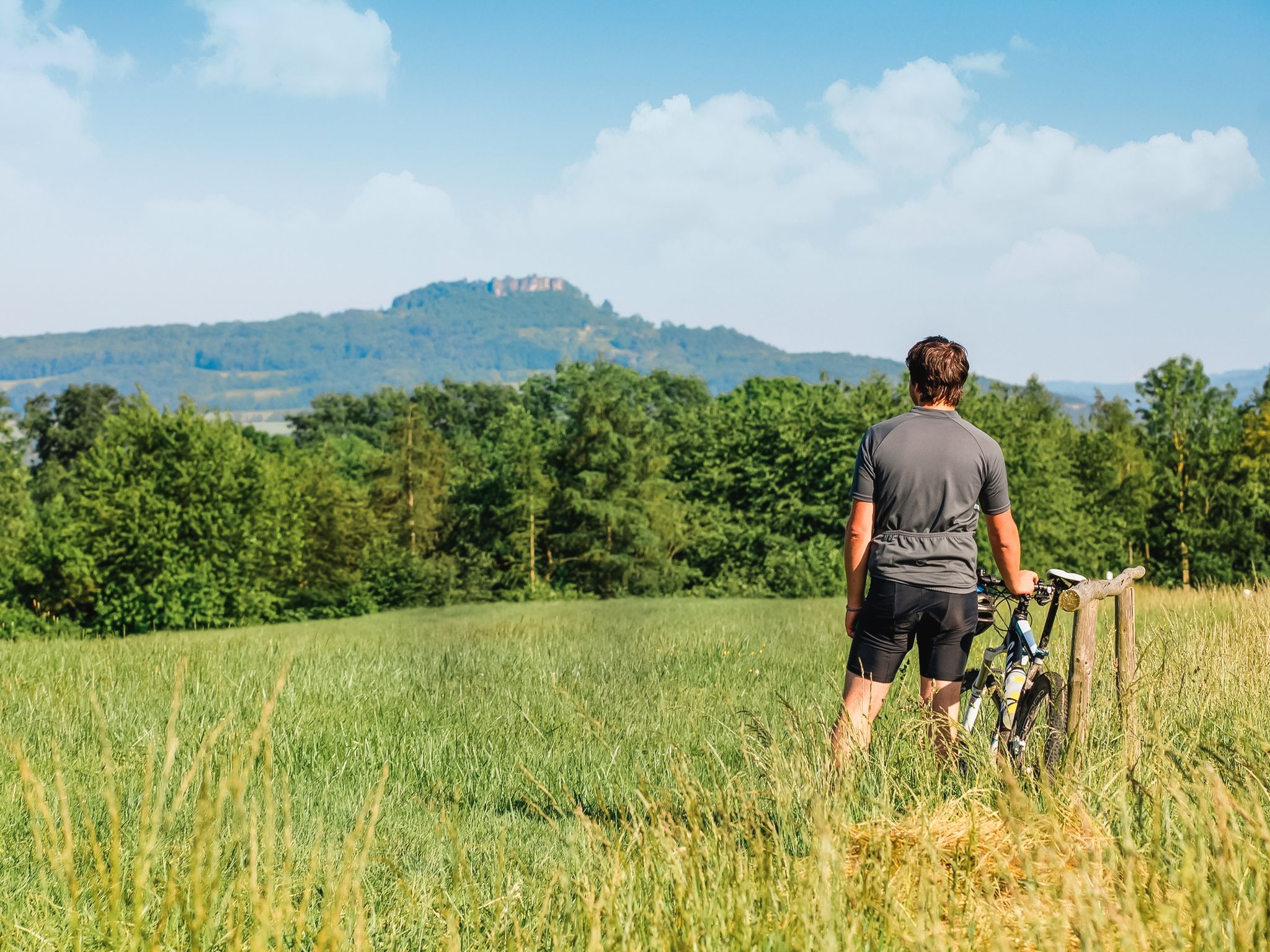
Panoramic cycling in the Upper Main•Jura
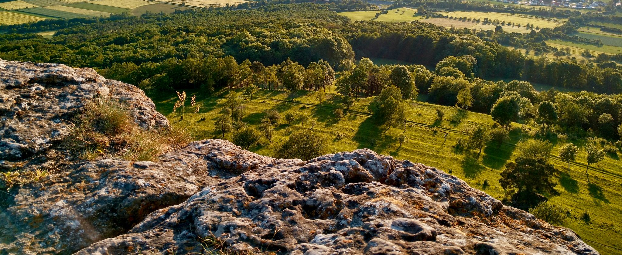
On Celtic trails in Franconia
Cycling around Ebensfeld
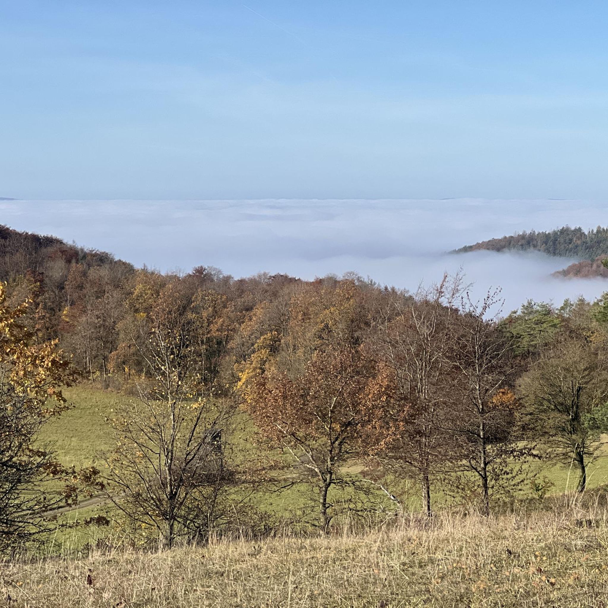
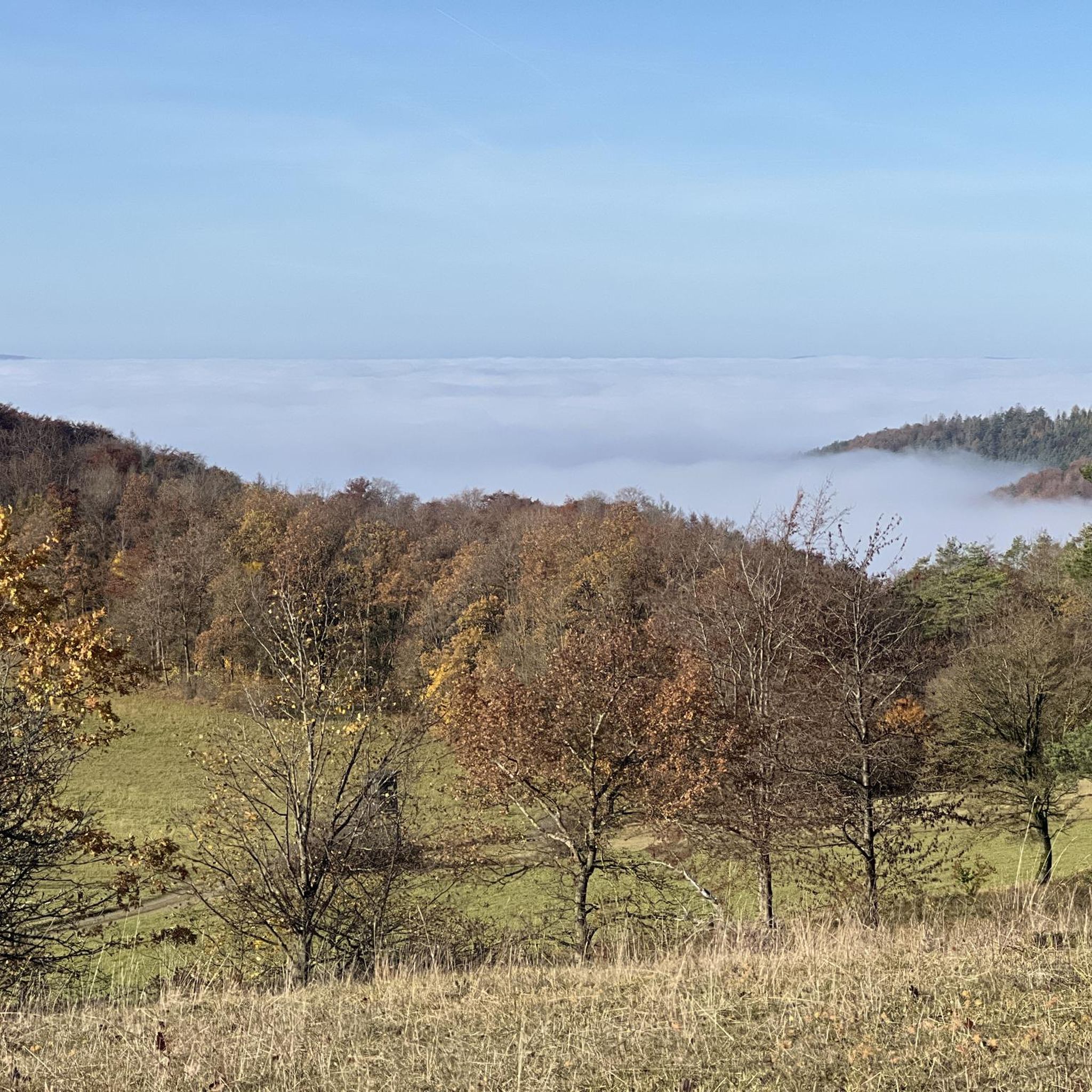
Hiking around Ebensfeld
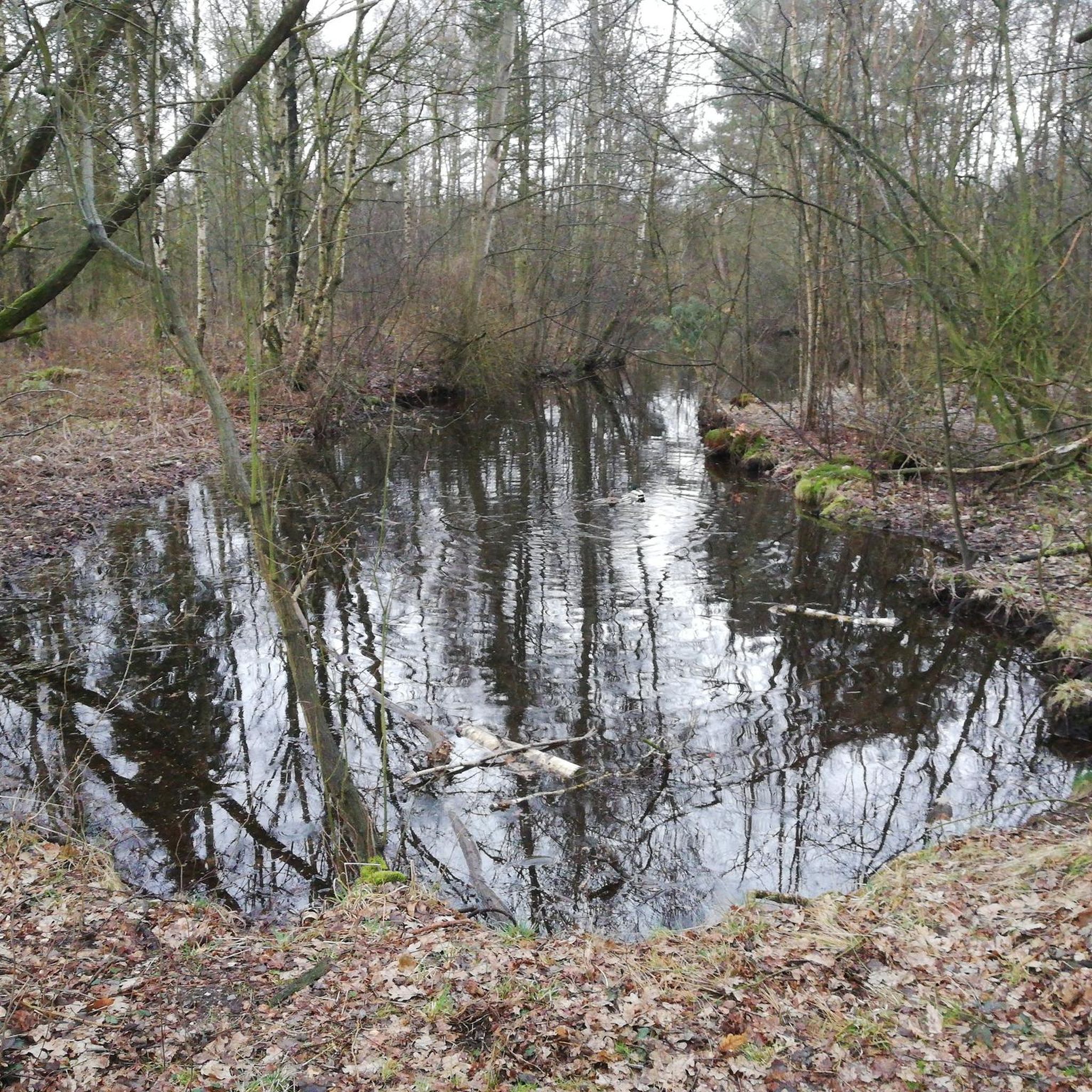
Gravel biking around Ebensfeld
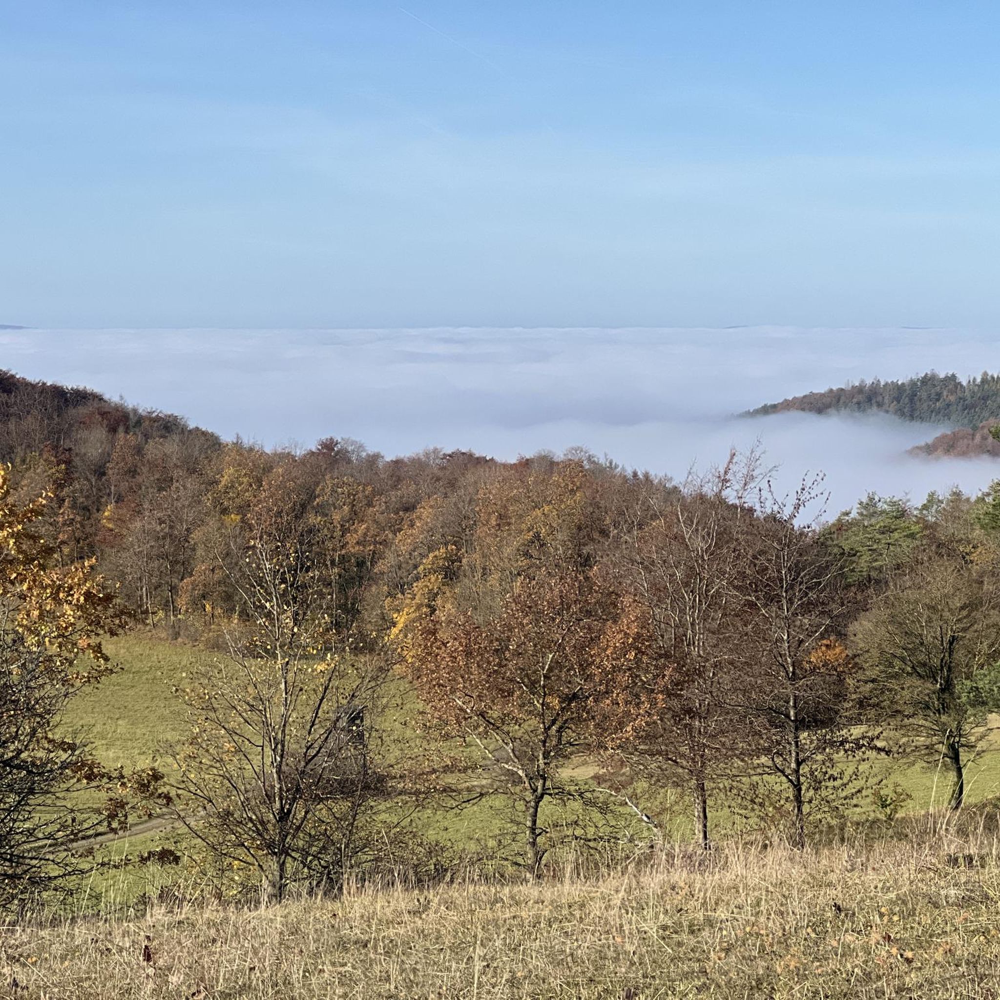
Road Cycling Routes around Ebensfeld
MTB Trails around Ebensfeld
Running Trails around Ebensfeld
Other adventures around Ebensfeld


Tips from the Community

The Staffelberg is one of the best-known viewpoints in Gottesgarten am Obermain – and rightly so. From the high plateau, wide views open up over the Maintal valley and the surrounding Franconian landscape. The view across to the striking elevations of the surrounding area is particularly beautiful. With good visibility, the view extends far beyond the Obermain and quickly makes it clear why the Staffelberg is one of the classic destinations in this region. On the plateau, you will also find the Staffelbergklause, which is well-suited for a stop during your hike. Together with the Basilica of Vierzehnheiligen and Banz Monastery, the Staffelberg forms the well-known trinity of Gottesgarten am Obermain. An absolute highlight of the region – and a viewpoint that is definitely worth the climb.
6
0
The Querkelshöhle is a small but interesting destination on the Staffelberg. Access requires a bit of scrambling and surefootedness, but can be managed well with appropriate caution. In return, there is an exciting little cave that provides a beautiful impression of the special rock landscape around the Staffelberg. Not a large cave system, but a worthwhile detour precisely because of its somewhat hidden location. Note: Access is not suitable for everyone. The rocky terrain can be slippery when wet – sturdy footwear and surefootedness are recommended.
6
0


There are many signposted hiking trails on and around the Staffelberg.
0
0

Great Mallunst on the old transformer house
2
1

Whenever I see something like this, I always find it a shame that these plants are operating pointlessly. Most of them would be easily able to generate energy.
1
0

From the Staffelberg you have a wonderful panoramic view
2
0

The Staffelberg - landmark of Franconia
2
0
Frequently Asked Questions
What kind of terrain can I expect on mountaineering routes around Ebensfeld?
The Ebensfeld region, situated between the Franconian Jura and the Eierberge, offers a diverse landscape. You'll encounter rolling hills, picturesque valleys, and prominent viewpoints like the Staffelberg. Routes often follow the renatured Main River and feature a mix of forests, open fields, and elevated sections, providing varied and engaging terrain for challenging hikes.
Are there any circular mountaineering routes in the Ebensfeld area?
Yes, many of the mountaineering routes around Ebensfeld are designed as circular tours. For example, the Staffelberg loop from Basilika Vierzehnheiligen and the View of the Staffelberg – Staffelberg loop from Bad Staffelstein are both excellent circular options that allow you to return to your starting point without retracing your steps.
What are some notable landmarks or attractions I might see along the mountaineering trails?
Mountaineering routes in this region often integrate historical and natural landmarks. You can explore the significant Baroque pilgrimage site of the Basilica of the Fourteen Holy Helpers (Basilika Vierzehnheiligen), enjoy panoramic views from the Staffelberg, or discover the Giechburg castle. The Hohler Stein rock formation – Kemitzenstein loop from Schwabthal also leads through varied terrain with notable rock formations.
Are there any family-friendly mountaineering options near Ebensfeld?
While the listed routes are moderate, the broader Ebensfeld area offers options suitable for families. The region research mentions a 'Fairytale Forest Trail' which provides an exciting circular path for families, suggesting that there are less strenuous options available for those with children.
What is the general difficulty level of mountaineering routes in Ebensfeld?
The mountaineering routes highlighted in this guide are generally considered moderate. They involve varied terrain with elevation changes, making them suitable for those with a reasonable level of fitness and some hiking experience. There are no easy or difficult rated routes in this specific selection.
Are there places to eat or get refreshments near the trails?
Yes, the prominent Staffelberg, a popular viewpoint, features a hospitality hut where you can find refreshments. Many routes also pass through or near towns like Bad Staffelstein, offering additional dining options.
Can I bring my dog on the mountaineering routes?
While specific regulations for dogs on these routes are not provided, generally, dogs are welcome on hiking trails in Germany, often on a leash. It's always advisable to check local signage or park regulations for any specific restrictions in the Franconian Switzerland-Veldenstein Forest Nature Park area or around specific landmarks.
What is the best time of year to go mountaineering in Ebensfeld?
The diverse landscape of Ebensfeld is enjoyable throughout much of the year. Spring and autumn offer pleasant temperatures and beautiful scenery, with blooming flowers or vibrant fall foliage. Summer is also suitable, though it can be warmer. Winter mountaineering is possible, but conditions may require appropriate gear for snow or ice.
Are there any routes that offer expansive views?
Absolutely. The View of the Staffelberg – Staffelberg loop from Bad Staffelstein is specifically known for providing expansive views over the Bad Staffelstein area. The Staffelberg itself is a prominent mountain viewpoint offering wide vistas over the surrounding region.
How long do the mountaineering routes typically take to complete?
The duration varies by route and individual pace. For instance, the Staffelberg loop from Basilika Vierzehnheiligen typically takes around 3 hours and 14 minutes, while the Hohler Stein rock formation – Kemitzenstein loop from Schwabthal can be completed in about 2 hours and 33 minutes. The longest route, View of the Staffelberg – Staffelberg loop from Bad Staffelstein, takes approximately 3 hours and 55 minutes.
Are there options for parking near the trailheads?
For popular starting points like the Basilica of the Fourteen Holy Helpers or Bad Staffelstein, you can generally expect to find parking facilities available, making access to these mountaineering routes convenient.
Most popular routes around Ebensfeld
Most popular attractions around Ebensfeld

Get inspired with the komoot mobile app


Explore more
Browse the best Mountain Hikes & Routes in other regions.
