The best mountain hikes around Neunkirchen am Sand
11
hikers
2
hikes
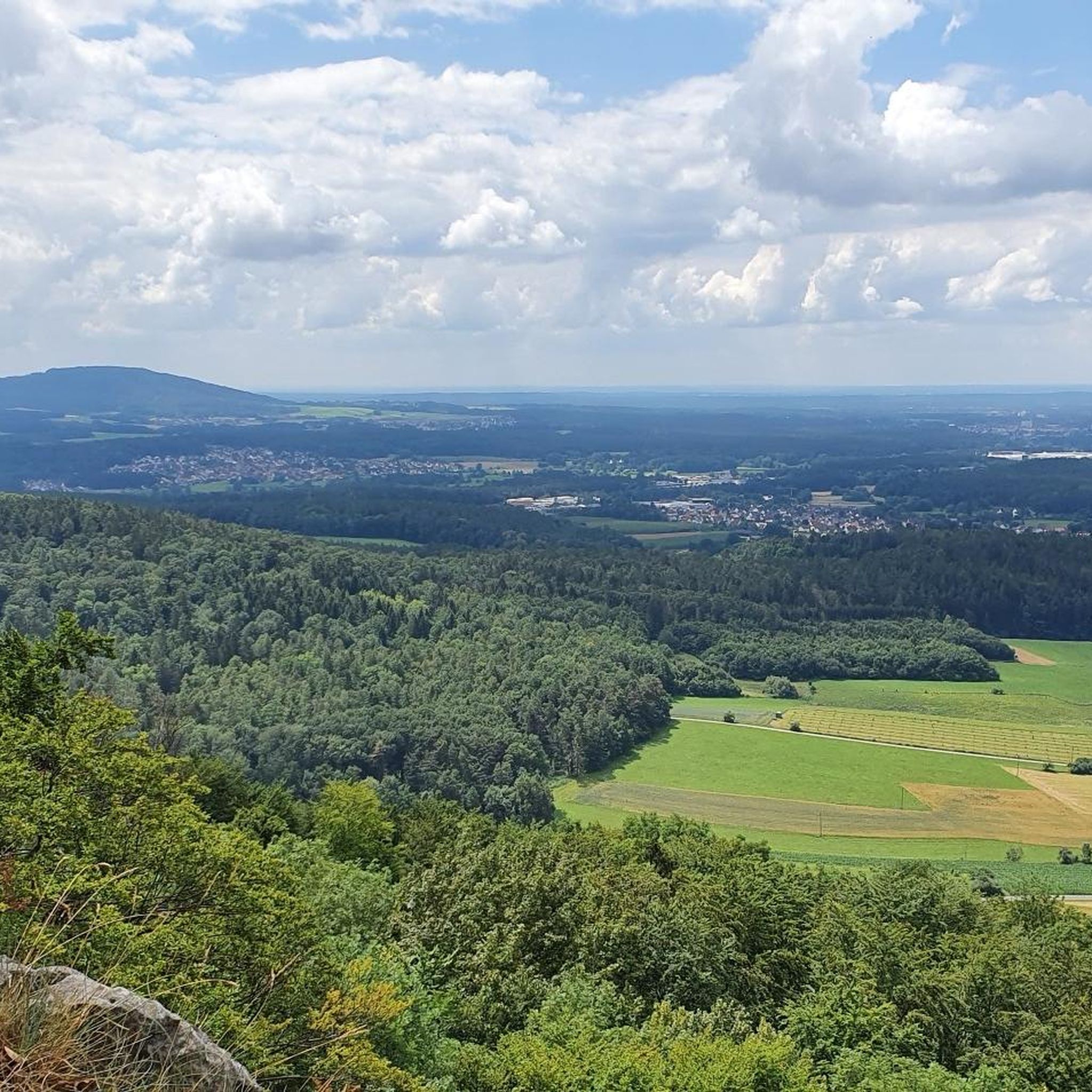
Mountaineering routes around Neunkirchen am Sand traverse a landscape characterized by rolling hills and dense forests within the Nürnberger Land. The region features notable natural monuments such as the Lillach-Sinterterrassen and the Glatzenstein, which stands at 572 meters and offers panoramic views. These physical features provide varied terrain for mountaineering activities, from challenging ascents to scenic paths through gorges and past historical ruins.
Best mountaineering routes around Neunkirchen am Sand
- The most popular mountaineering route is Happurger Lake – Happurg…
Last updated: May 25, 2026
8
hikers
6.32km
01:58
210m
210m
Hard mountaineering route. Great for any fitness level. Sure-footedness, sturdy shoes and alpine experience required.
2
hikers
7.58km
02:17
230m
230m
Moderate mountaineering route. Good fitness required. Easily-accessible paths. Suitable for all skill levels.

Sign up for free
1
hikers
Moderate mountaineering route. Good fitness required. Easily-accessible paths. Suitable for all skill levels.
Our route recommendations are based on thousands of hikes, rides, and runs completed by other people on komoot.
Start today with a free account
Your next adventure awaits.
Login or Signup
Popular around Neunkirchen am Sand
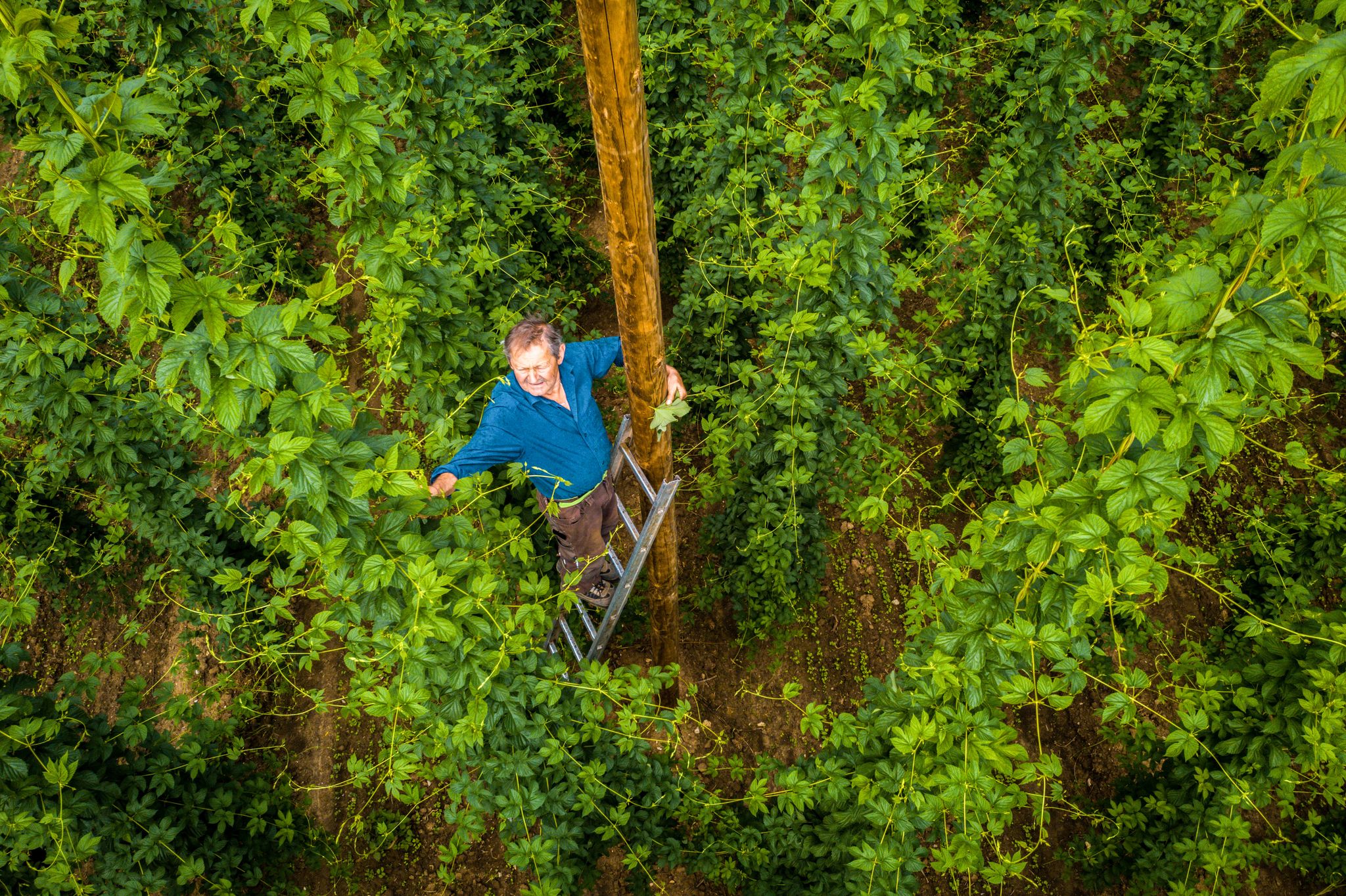
Hop Weeks in the Nürnberger Land – Hiking Trails Full of Delight
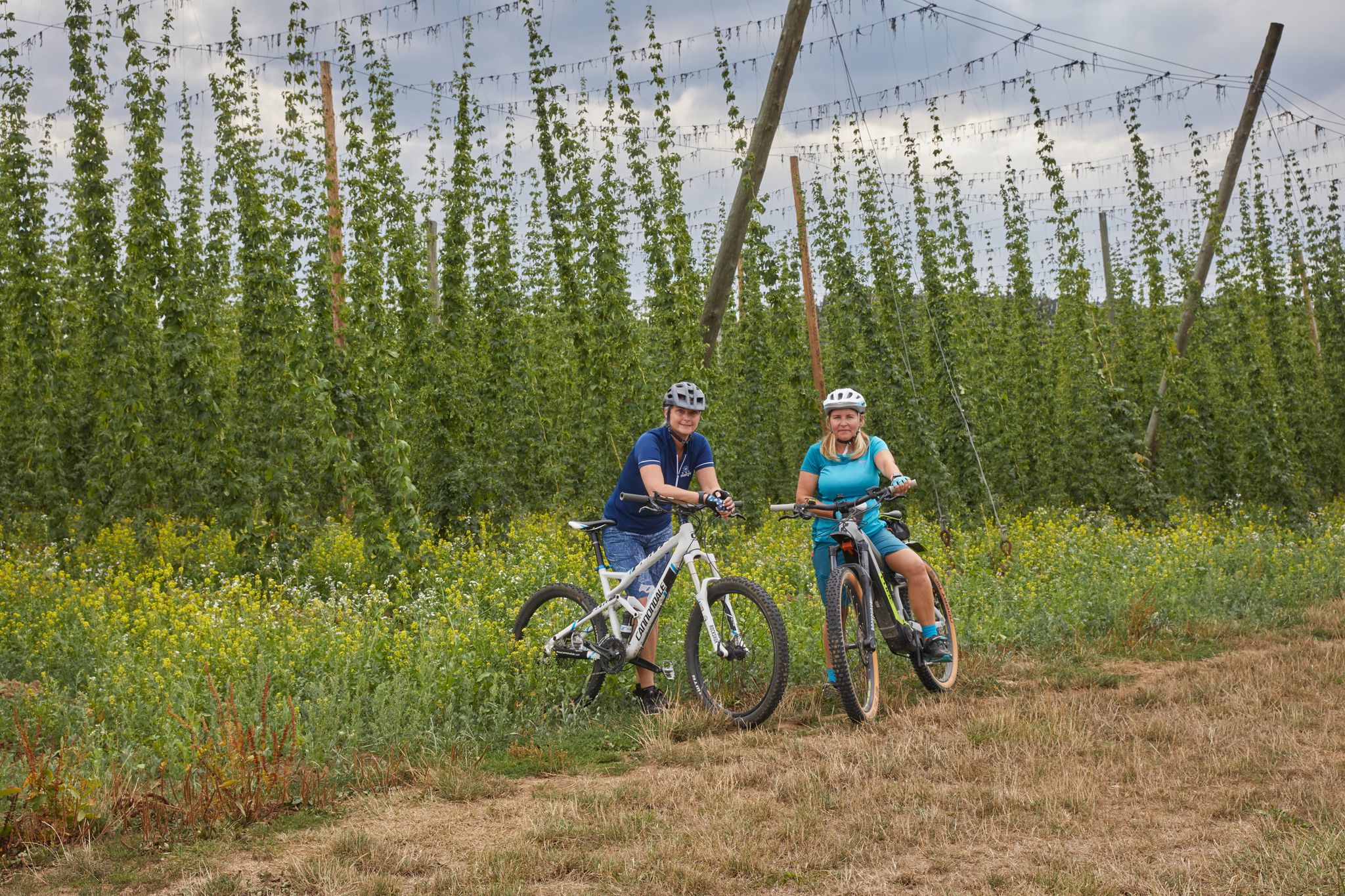
Cycling to the Hop Weeks in the Nuremberg Region
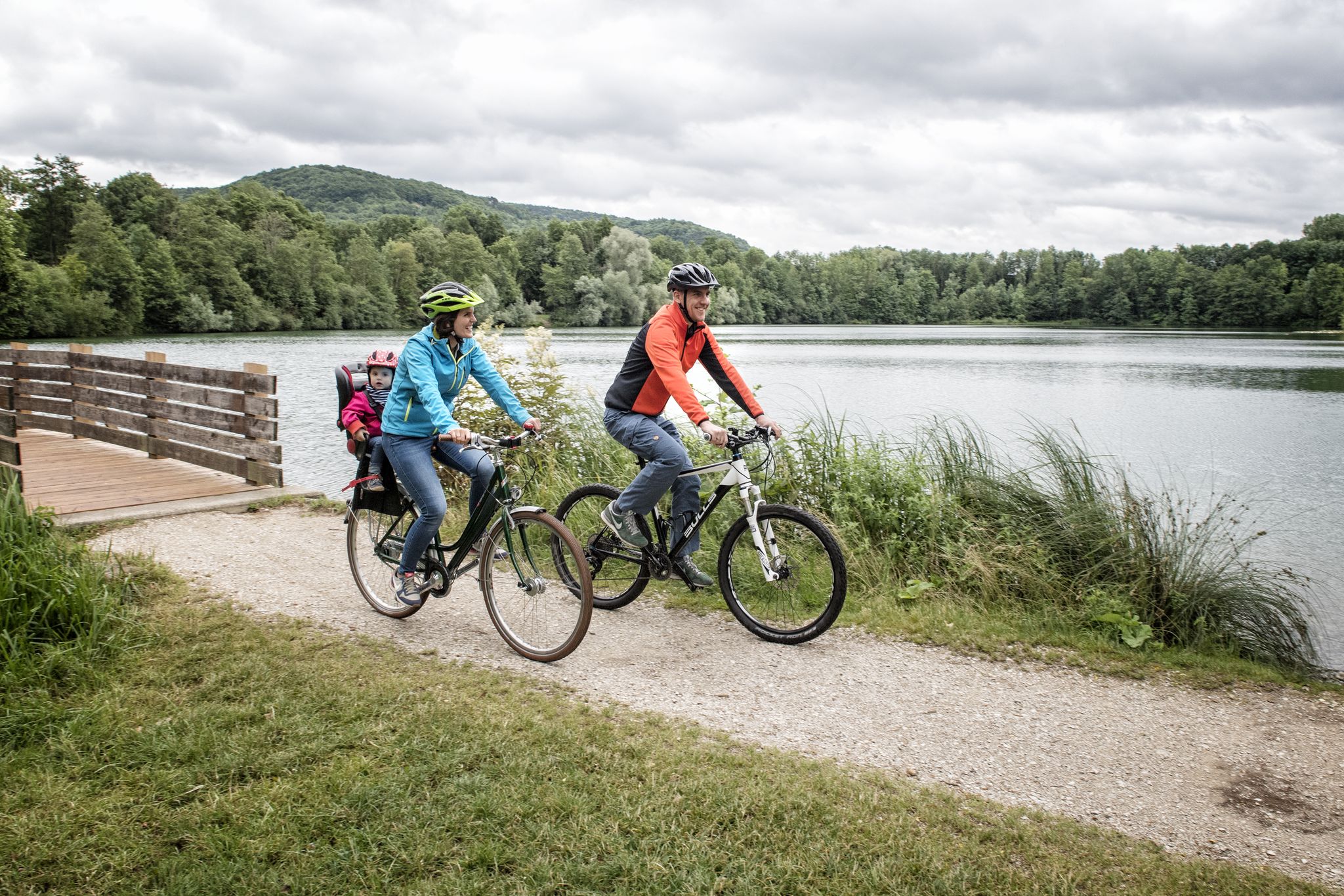
Incredible cycling in the Nuremberg region
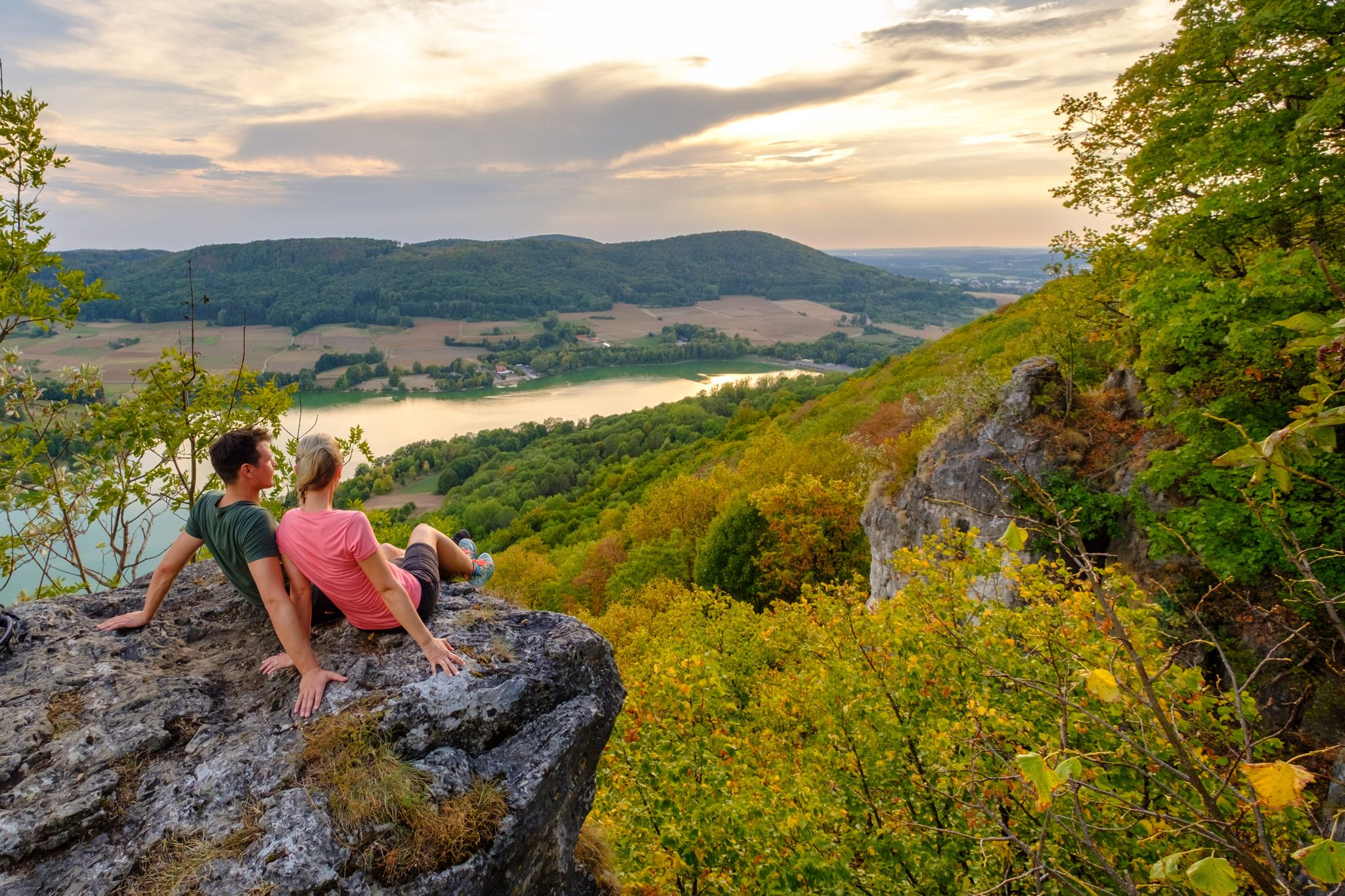
Hiking in the Nürnberger Land
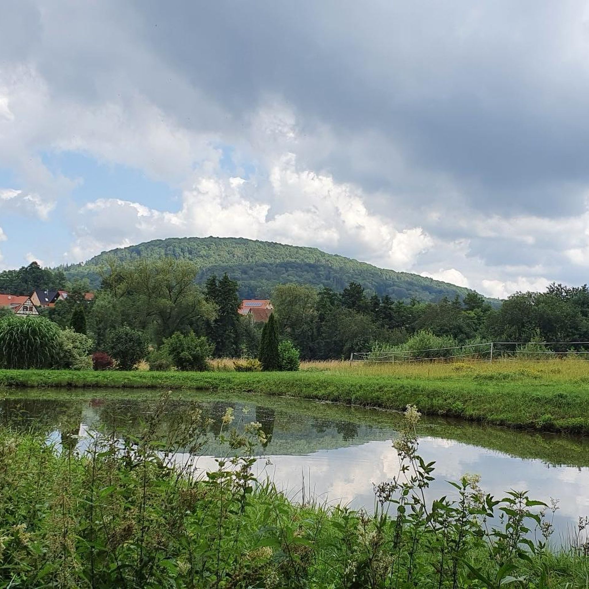
Hiking around Neunkirchen am Sand
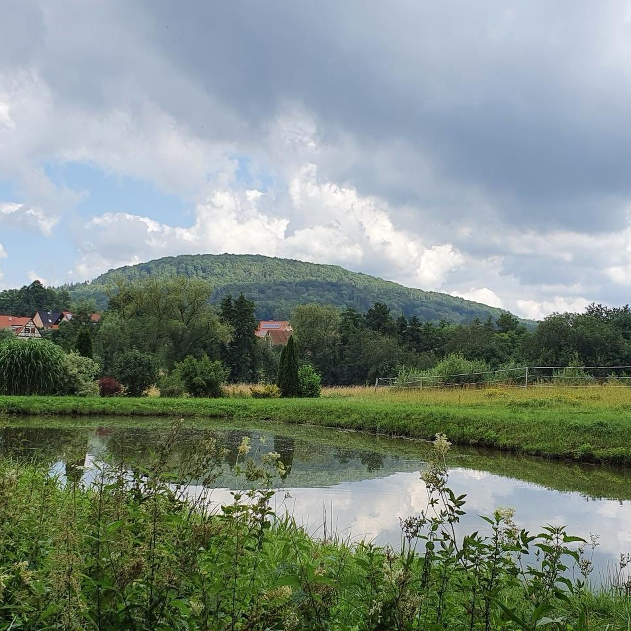
Road Cycling Routes around Neunkirchen am Sand
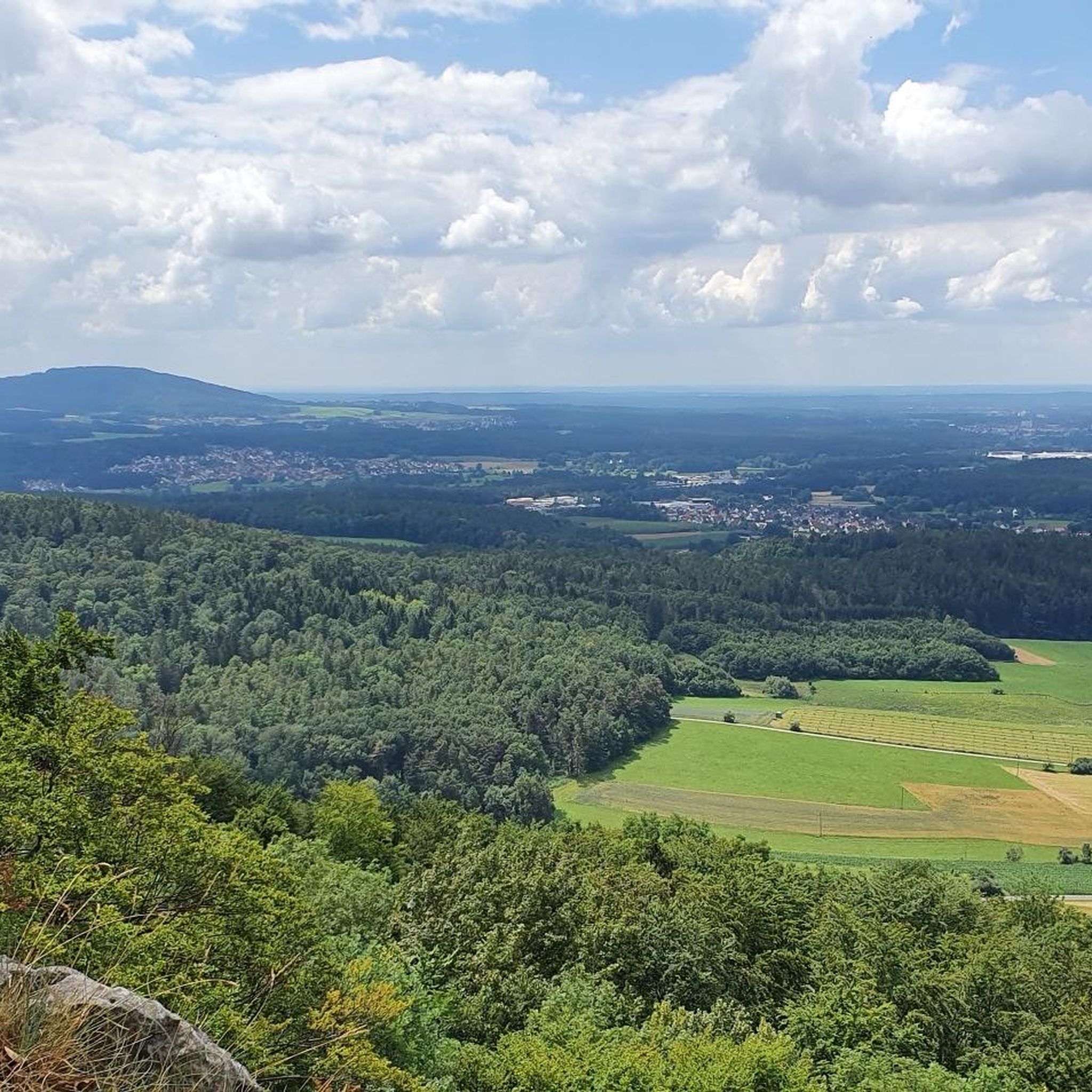
Cycling around Neunkirchen am Sand
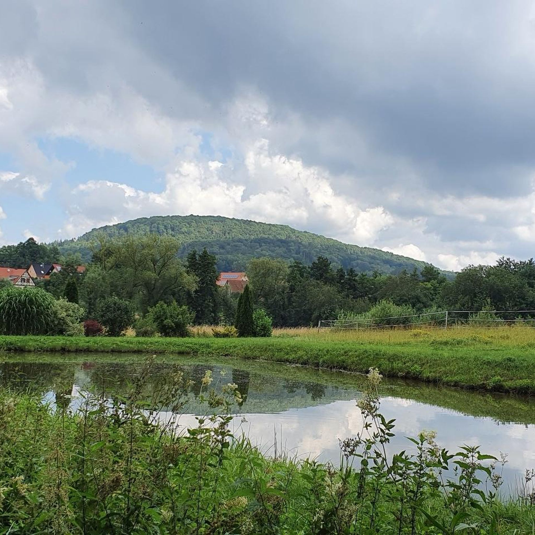
MTB Trails around Neunkirchen am Sand
Running Trails around Neunkirchen am Sand

Gravel biking around Neunkirchen am Sand
Other adventures around Neunkirchen am Sand

Tips from the Community

Get a little closer to heaven and reward yourself with a cold refreshment. Life is good. 🌤️🍻
0
0

Beautiful reservoir, great place to take a break🥰
2
0

From Lauf difficult gravel tour with elevation
0
0

Super nice beer garden on the Moritzberg. Great Franconian food and beers! Top destination by bike or on a hike.
0
0

There are two tributaries, the Rohrbach and the Kainsbach.
1
0

On the north bank you can also go nude, albeit unofficially. The beach is very quiet in contrast to the busy south bank, which is also accessible by car. A hiking trail runs past it, and the walkers are not bothered by the naked bathers. However, this beach can only be reached by bike or on foot. It can also be reached by boat from the south bank.
2
0

Something for everyone... whether hiking, biking, jogging... and also in different levels of difficulty... 🤗
11
0
If you just want to walk a few meters in the beautiful nature, everything is right here... unfortunately the inn was closed... but the weather and the nature were perfect 🙏🦊
13
1
Frequently Asked Questions
What kind of terrain can I expect on mountaineering routes around Neunkirchen am Sand?
The region around Neunkirchen am Sand is characterized by rolling hills and dense forests within the Nürnberger Land. You'll find varied terrain, from challenging ascents to scenic paths through gorges and past historical ruins. Notable natural monuments like the Lillach-Sinterterrassen and the Glatzenstein, which offers panoramic views, contribute to the diverse landscape.
Are there any challenging mountaineering routes in the area?
Yes, for those seeking a more challenging experience, the Happurger Lake – Happurg Reservoir loop from Happurg is classified as difficult. This route covers approximately 6.3 km and involves significant elevation changes, offering rewarding views of the reservoir.
Are there any routes suitable for beginners or those looking for a moderate challenge?
Absolutely. Routes like the Moritzberg Mountain Inn – Chiming Waterfall loop from Schönberg and the Moritzberg Mountain Inn – Root Path to Moritzberg loop from Renzenhof are both rated as moderate. These paths are a great way to explore the region's natural features and forested terrain without extreme difficulty.
What natural attractions or landmarks can I see along the mountaineering routes?
The region is rich in natural beauty and historical sites. You can explore the unique Lillach Tufa Terraces with its waterfall, or visit the tranquil Lillach Spring. The View from Glatzenstein offers magnificent panoramic vistas, and the Bitterbach Gorge provides a varied landscape. You might also encounter the Wolfstein Castle Ruins, offering historical insights and more views.
Are there any waterfalls to discover on these routes?
Yes, the Lillach Tufa Terraces feature a unique natural waterfall, especially vibrant after rain or in spring. Additionally, the Moritzberg Mountain Inn – Chiming Waterfall loop from Schönberg specifically highlights a waterfall along its path.
Are there any circular routes available for mountaineering?
Yes, all the highlighted mountaineering routes in this guide are circular. For instance, the difficult Happurger Lake – Happurg Reservoir loop from Happurg and the moderate Moritzberg Mountain Inn – Chiming Waterfall loop from Schönberg are both designed as loops, bringing you back to your starting point.
What is the highest point in the region that can be reached by mountaineering?
The Glatzenstein, standing at 572 meters, is the highest point in the municipality and offers magnificent panoramic views over the Nürnberger Land. It's a popular destination for hikers and climbers, and you can find a highlight for the View from Glatzenstein.
What do other mountaineers say about the routes in Neunkirchen am Sand?
More than 10 mountaineers have used komoot to explore Neunkirchen am Sand's varied terrain. They often praise the diverse landscape, including rolling hills, dense forests, and unique natural monuments like the Lillach-Sinterterrassen and the Glatzenstein.
Are there places to rest or get refreshments along the routes?
Yes, the Moritzberg Mountain Inn is a notable hut in the area, which is even part of the name for two popular routes. The region also has various resting spots, especially along paths like the Lillach stream and the Seven Springs Hiking Trails.
Is the area suitable for rock climbing or bouldering?
While primarily known for hiking, the Glatzenstein is specifically mentioned as a popular destination for climbers. This suggests opportunities for rock climbing or scrambling, though detailed information on technical difficulty or specific routes for advanced mountaineering is not extensively provided.
What is the best time of year to go mountaineering in Neunkirchen am Sand?
The region's varied landscape, including the Bitterbachschlucht, remains appealing throughout the seasons. Spring offers abundant water flow at the Lillach-Sinterterrassen and Lillachquelle, making it particularly vibrant. Autumn provides beautiful foliage, while summer is ideal for longer days. Winter can offer a different, serene experience, though conditions may require more preparation.
Most popular routes around Neunkirchen am Sand
Most popular attractions around Neunkirchen am Sand

Get inspired with the komoot mobile app


Explore more
Browse the best Mountain Hikes & Routes in other regions.
