The best mountain hikes around Innernzell
4.7
(7)
40
hikers
4
hikes
Mountaineering routes around Innernzell traverse the forested hills and peaks of the Bavarian Forest, offering varied terrain for exploration. The region is characterized by its dense woodlands, elevated viewpoints, and the presence of significant summits like Rachel Peak. These routes provide opportunities to experience the natural beauty and elevation changes typical of this part of Germany.
Best mountaineering routes around Innernzell
- The most popular mountaineering route is Rachel Summit (Rachel Peak) – Großer Rachel Summit loop from Klingenbrunn, an…
Last updated: May 24, 2026
5.0
(4)
20
hikers
13.1km
04:29
670m
670m
Moderate mountaineering route. Good fitness required. Mostly accessible paths. Sure-footedness required.
4.0
(1)
3
hikers
Easy mountaineering route. Great for any fitness level. Easily-accessible paths. Suitable for all skill levels.

Sign up for free
5.0
(2)
11
hikers
Moderate mountaineering route. Good fitness required. Easily-accessible paths. Suitable for all skill levels.
3
hikers
Moderate mountaineering route. Good fitness required. Easily-accessible paths. Suitable for all skill levels.
1
hikers
Moderate mountaineering route. Good fitness required. Easily-accessible paths. Suitable for all skill levels.
Our route recommendations are based on thousands of hikes, rides, and runs completed by other people on komoot.
Start today with a free account
Your next adventure awaits.
Login or Signup
Tips from the Community

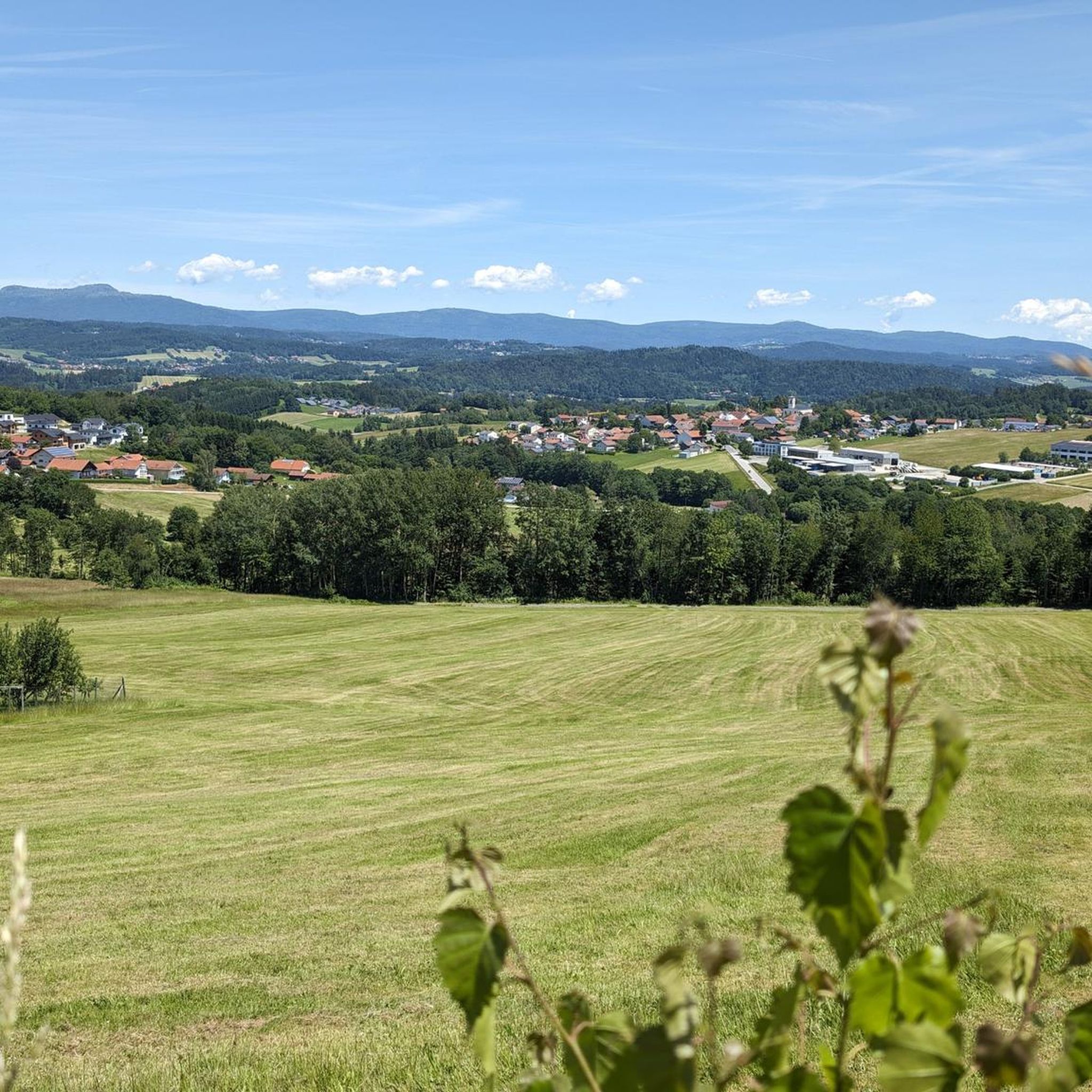
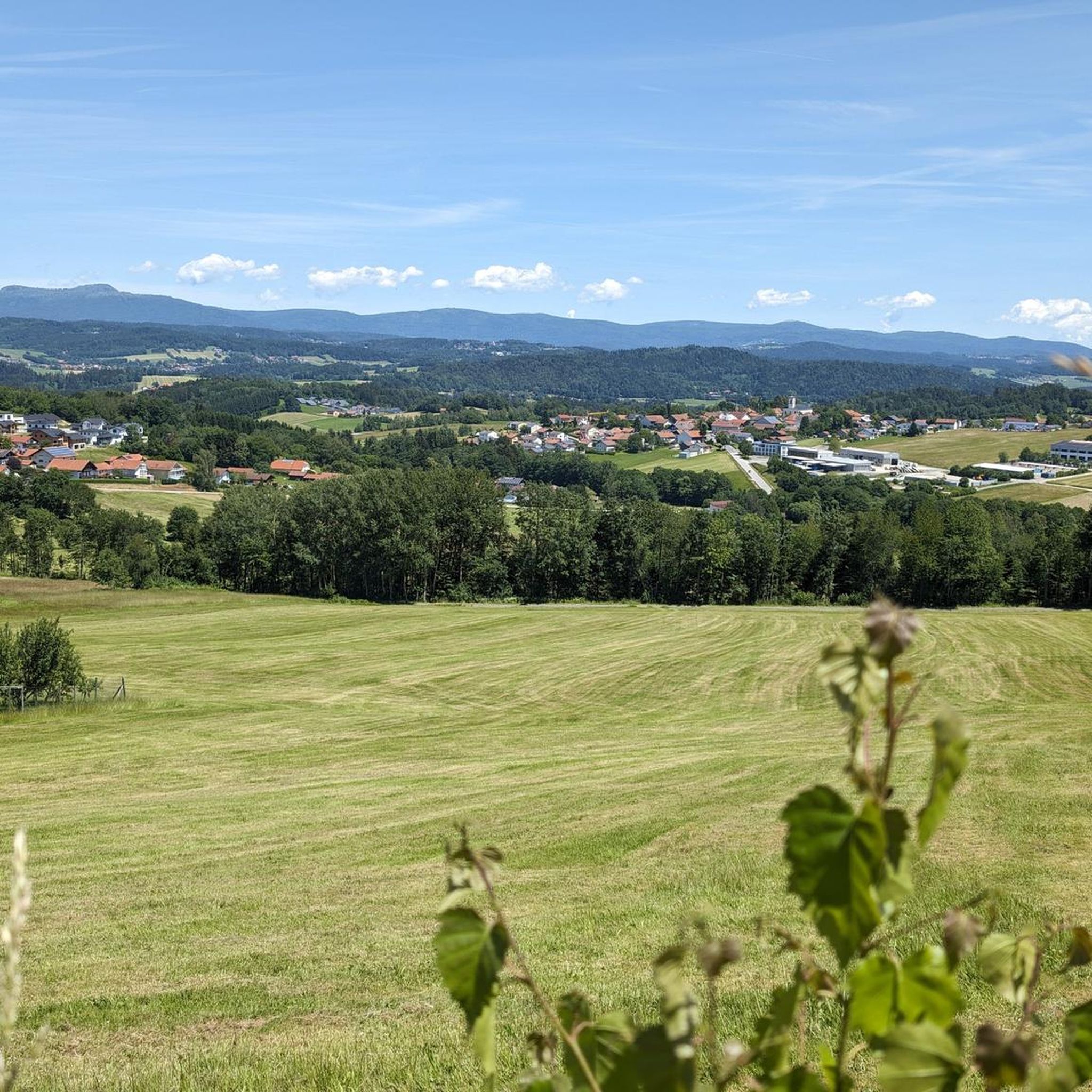
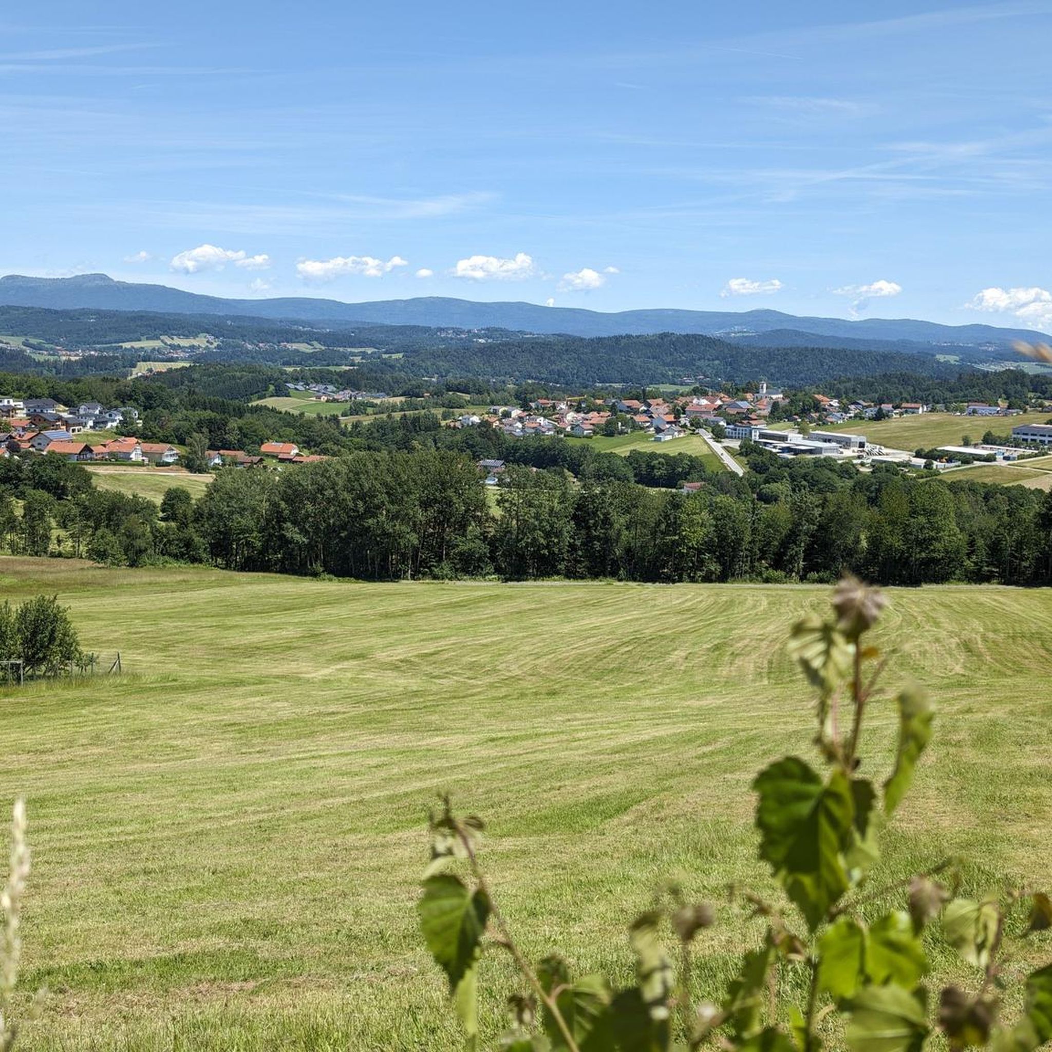
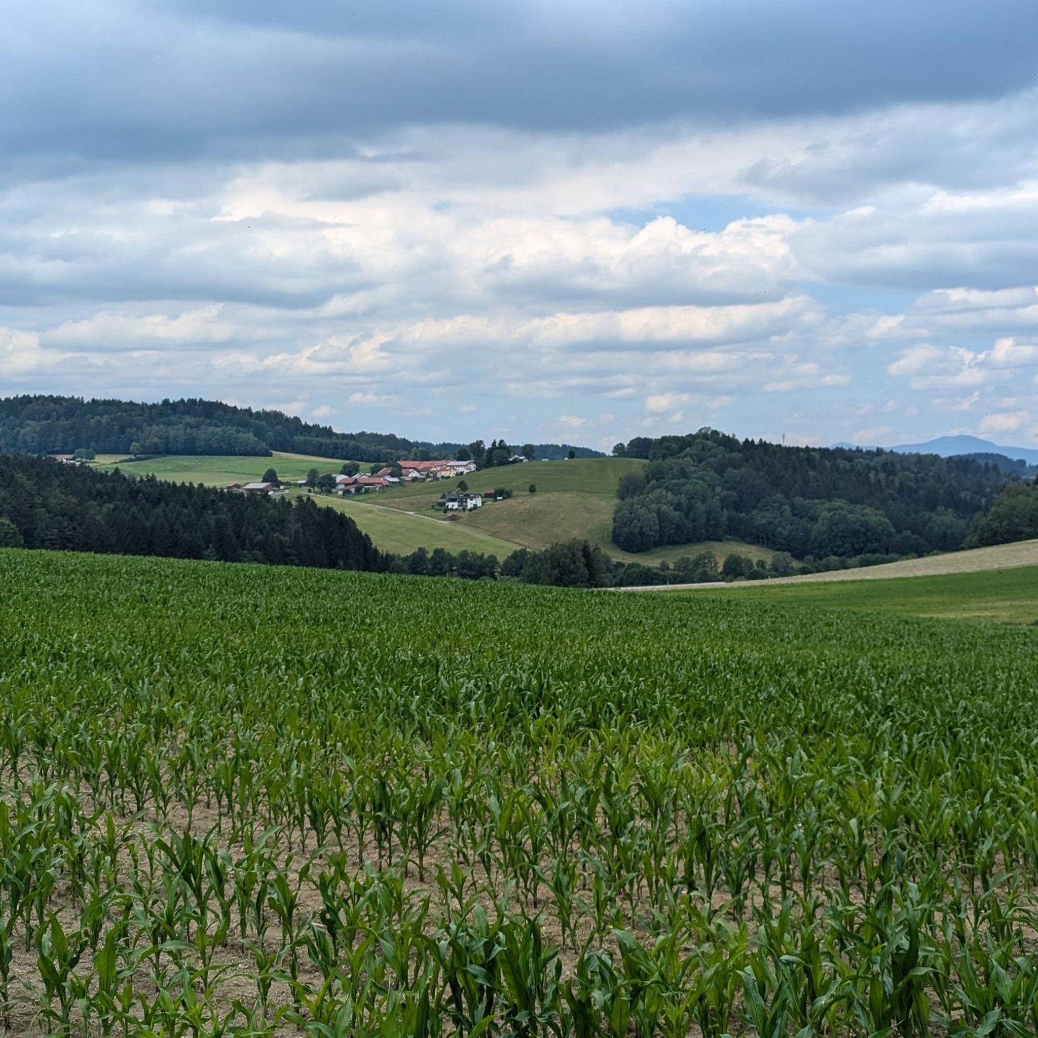
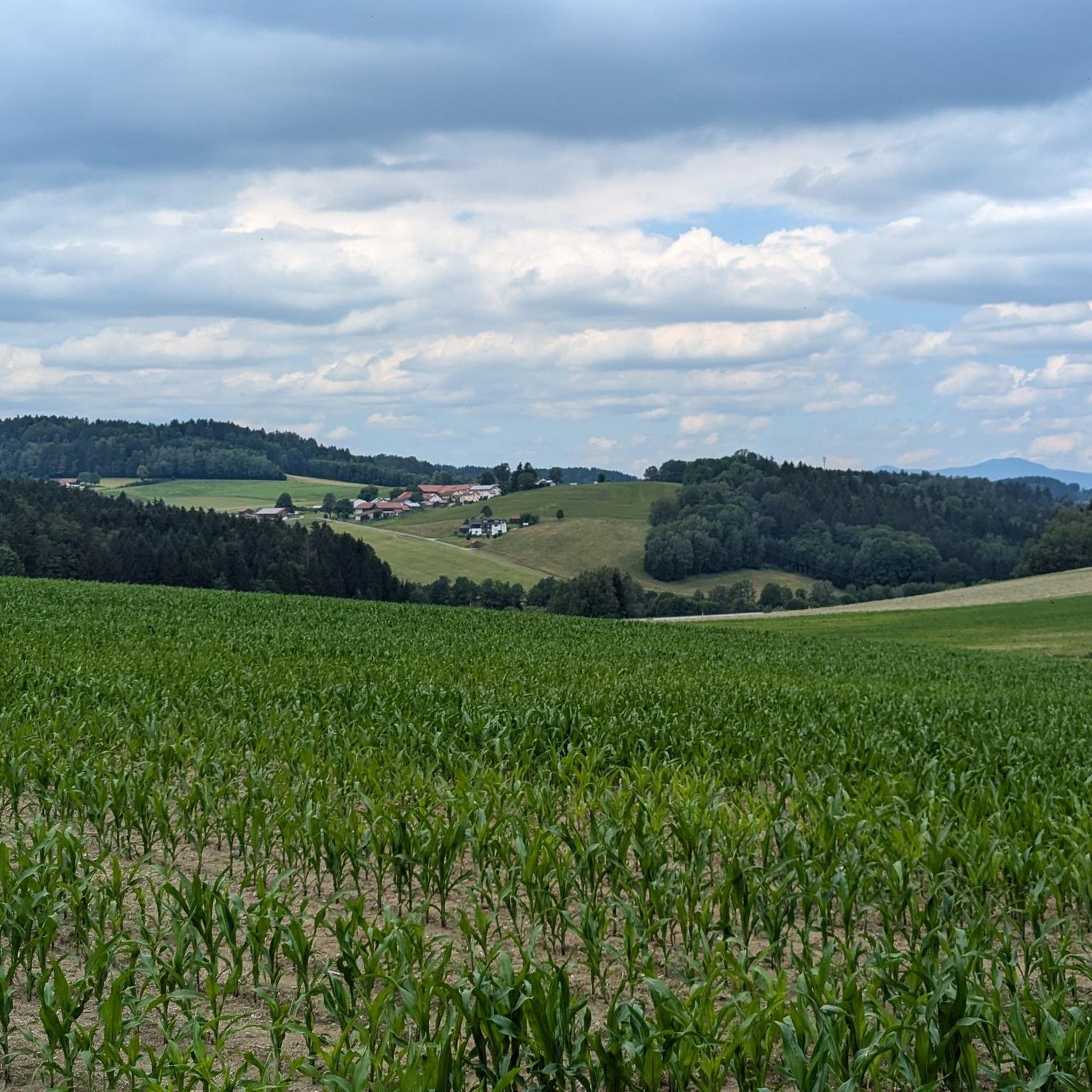
On a clear day, you can enjoy a magnificent view of the Danube plain and the Gäuboden region from up here. With a bit of luck, you might even see the Alps!
0
0

great place to take a break
0
0

Definitely take it with you! The view is fantastic
1
0

Always worth a detour for bikers or hikers
0
0

The Großer Büchelstein in the municipality of Grattersdorf rises majestically above the Sonnenwald region. With a height of 832 meters, it offers a panoramic view that extends as far as the Alps in clear weather. The summit is a popular starting point for hang gliders and paragliders, who enjoy the thermals and the spectacular views. Hikers can follow well-marked trails through dense forests and over rolling hills that unfold their own charm in every season. Source: https://region-sonnenwald.de/berge/buechelstein?task=ggvz
5
0
The Kleiner Büchelstein is in no way inferior to its big brother. With a height of 808 meters, it also offers impressive views and is an ideal place for a relaxed hike. The path to the summit takes you through idyllic forests and past picturesque clearings that invite you to linger and enjoy nature. Especially in autumn, when the leaves shine in bright colors, the Kleiner Büchelstein is a true paradise for photographers and nature lovers. Source: https://region-sonnenwald.de/berge/buechelstein?task=ggvz
5
0
Frequently Asked Questions
What are the typical distances and difficulties of mountaineering routes around Innernzell?
Mountaineering routes in Innernzell vary in length and challenge. You'll find options ranging from shorter, easier walks like the Little Büchelstein Viewpoint – Büchelstein Viewpoint loop from Kerschbaum, which is about 3.6 miles (5.8 km) and takes under 2 hours, to more demanding full-day tours. For instance, the Rachel Summit (Rachel Peak) – Rachel Lake loop from Klingenbrunn is a difficult 12.1 miles (19.5 km) route with significant elevation gain.
Are there any family-friendly mountaineering routes in Innernzell?
Yes, there are routes suitable for families, especially those with some hiking experience. The Little Büchelstein Viewpoint – Büchelstein Viewpoint loop from Kerschbaum is an easy 3.6 miles (5.8 km) trail that offers rewarding views without excessive challenge, making it a good option for a family outing.
When is the best time of year for mountaineering in Innernzell?
The best time for mountaineering in Innernzell is typically from late spring through early autumn (May to October). During these months, the weather is generally milder, and trails are clear of snow, offering the best conditions for exploring the forested hills and peaks of the Bavarian Forest.
Are there any circular mountaineering routes in Innernzell?
Many of the mountaineering routes around Innernzell are designed as circular loops, allowing you to start and end at the same point. Examples include the popular Rachel Summit (Rachel Peak) – Großer Rachel Summit loop from Klingenbrunn and the scenic Rachel Summit (Rachel Peak) – Waldschmidt Hut loop from Klingenbrunn.
What can I see along the mountaineering routes in Innernzell?
The routes offer diverse natural beauty and points of interest. You can experience dense woodlands, elevated viewpoints, and significant summits. Notable attractions include the Brotjacklriegel Summit and Observation Tower, and the Großer Büchelstein summit cross and panoramic view. Some routes also pass by the picturesque Rachel Lake.
Are there any challenging mountaineering routes for experienced hikers?
Yes, experienced mountaineers will find challenging options. The Rachel Summit (Rachel Peak) – Rachel Lake loop from Klingenbrunn is a difficult 12.1 miles (19.5 km) route that combines summit ascents with scenic sections around Rachel Lake, providing a demanding experience.
Is parking available at the trailheads for mountaineering routes near Innernzell?
Parking is generally available at common starting points for mountaineering routes in the Innernzell area, such as Klingenbrunn or Kerschbaum. These locations serve as popular access points for the trails leading into the Bavarian Forest.
What do other mountaineers enjoy the most about mountaineering in Innernzell?
The area is highly rated by the komoot community, with an average score of 4.7 stars. Reviewers often praise the region's dense woodlands, the rewarding panoramic views from summits like Rachel Peak, and the variety of routes that cater to different ability levels.
Are there any places to eat or drink along the mountaineering routes?
While specific pubs directly on every trail are not guaranteed, the Bavarian Forest region is known for its mountain huts (Hütten) and traditional guesthouses in nearby villages. Routes like the Rachel Summit (Rachel Peak) – Waldschmidt Hut loop from Klingenbrunn suggest the presence of such facilities, offering opportunities for refreshments.
Can I go mountaineering in Innernzell during winter?
Winter mountaineering in Innernzell is possible but requires appropriate gear and experience due to snow and ice conditions. Trails may be covered, and some routes could be more challenging or inaccessible. It's advisable to check local conditions and weather forecasts before attempting winter ascents.
Do I need any special permits for mountaineering in the Innernzell area?
Generally, no special permits are required for recreational mountaineering on marked trails in the Innernzell area of the Bavarian Forest. However, always respect local regulations, especially within national park zones, and stay on designated paths.
Are there any hidden gem mountaineering trails around Innernzell?
While the Rachel Peak routes are well-known, exploring trails that lead to lesser-visited viewpoints or through quieter forest sections can offer a 'hidden gem' experience. For instance, the View from Sturmriegel – Brotjackl Sculpture loop from Sendeturm Brotjacklriegel offers a unique perspective and may feel less crowded than the main summit trails.
Most popular routes around Innernzell
Most popular attractions around Innernzell

Get inspired with the komoot mobile app


Explore more
Browse the best Mountain Hikes & Routes in other regions.
