The best running trails around Oberottmarshausen
4.5
(420)
8,801
runners
14
runs
Jogging around Oberottmarshausen offers varied terrain through rolling hills and green meadows. The region features an extensive network of trails, including soft forest paths and gravel routes, many of which are shaded. Runners can explore the landscape along the Lech River and through riparian forests, providing diverse natural surroundings for outdoor activity.
Best jogging routes around Oberottmarshausen
- The most popular jogging route is Handtuchwald loop from Oberottmarshausen, a 7.7 miles (12.4 km) trail that takes 1 hour 16 minutes…
Last updated: October 8, 2026
4.0
(1)
17
runners
12.4km
01:16
20m
20m
Moderate run. Good fitness required. Mostly paved surfaces. Suitable for all skill levels.
9
runners
Hard run. Very good fitness required. Mostly paved surfaces. Suitable for all skill levels.

9
runners
16.5km
01:42
30m
30m
Hard run. Very good fitness required. Mostly paved surfaces. Suitable for all skill levels.
5.0
(1)
11
runners
40.6km
04:23
130m
130m
Hard run. Very good fitness required. Sure-footedness, sturdy shoes and alpine experience required.
5.0
(2)
6
runners
9.75km
01:00
20m
20m
Moderate run. Good fitness required. Mostly paved surfaces. Suitable for all skill levels.
Get access to more routes and recommendations from other explorers.
Already have an account?
Our route recommendations are based on thousands of hikes, rides, and runs completed by other people on komoot.
Start today with a free account
Your next adventure awaits.


Tips from the Community

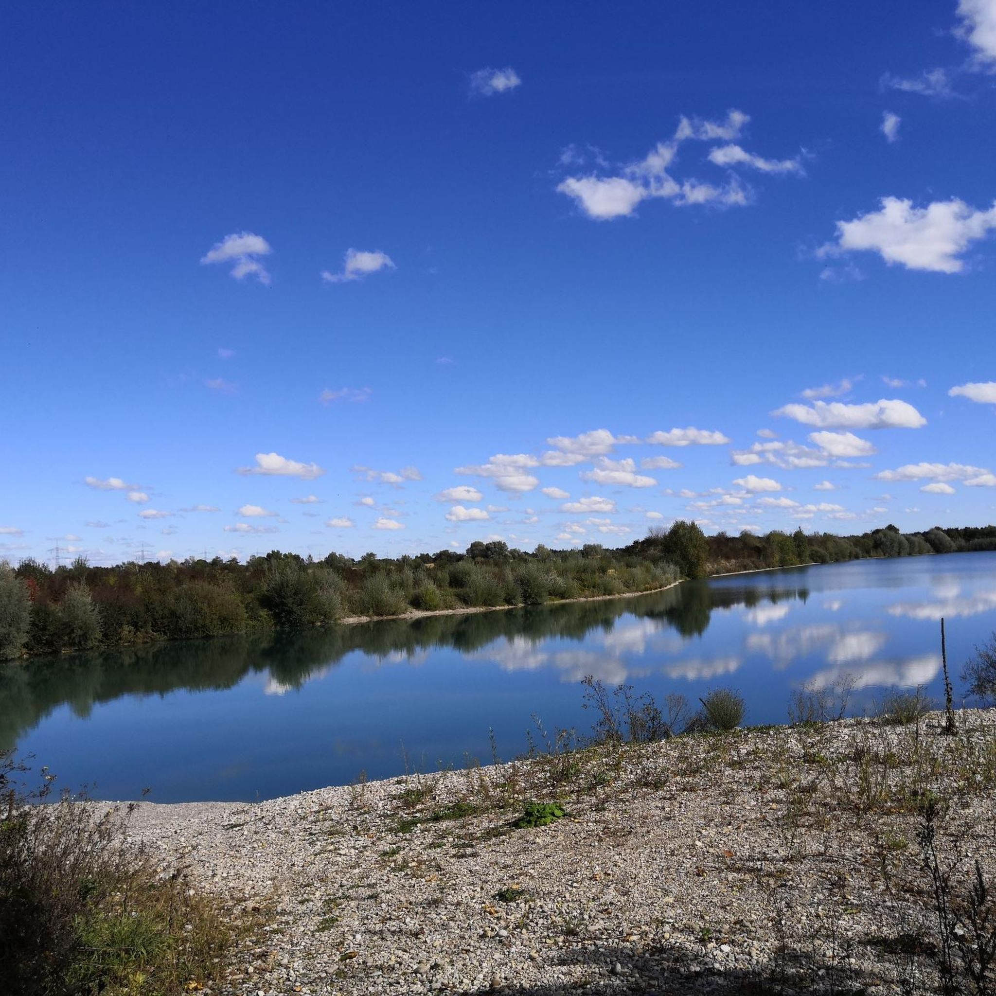
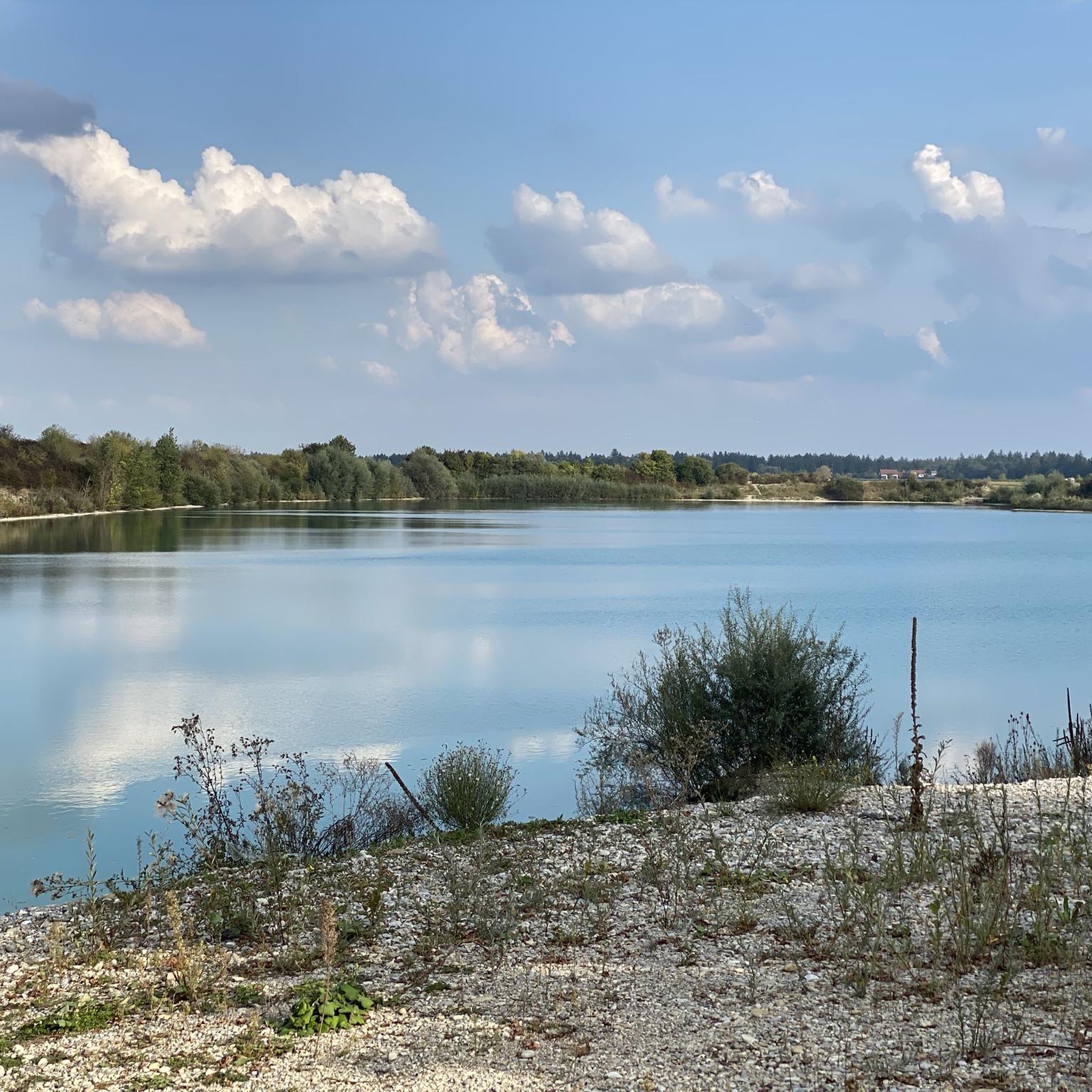
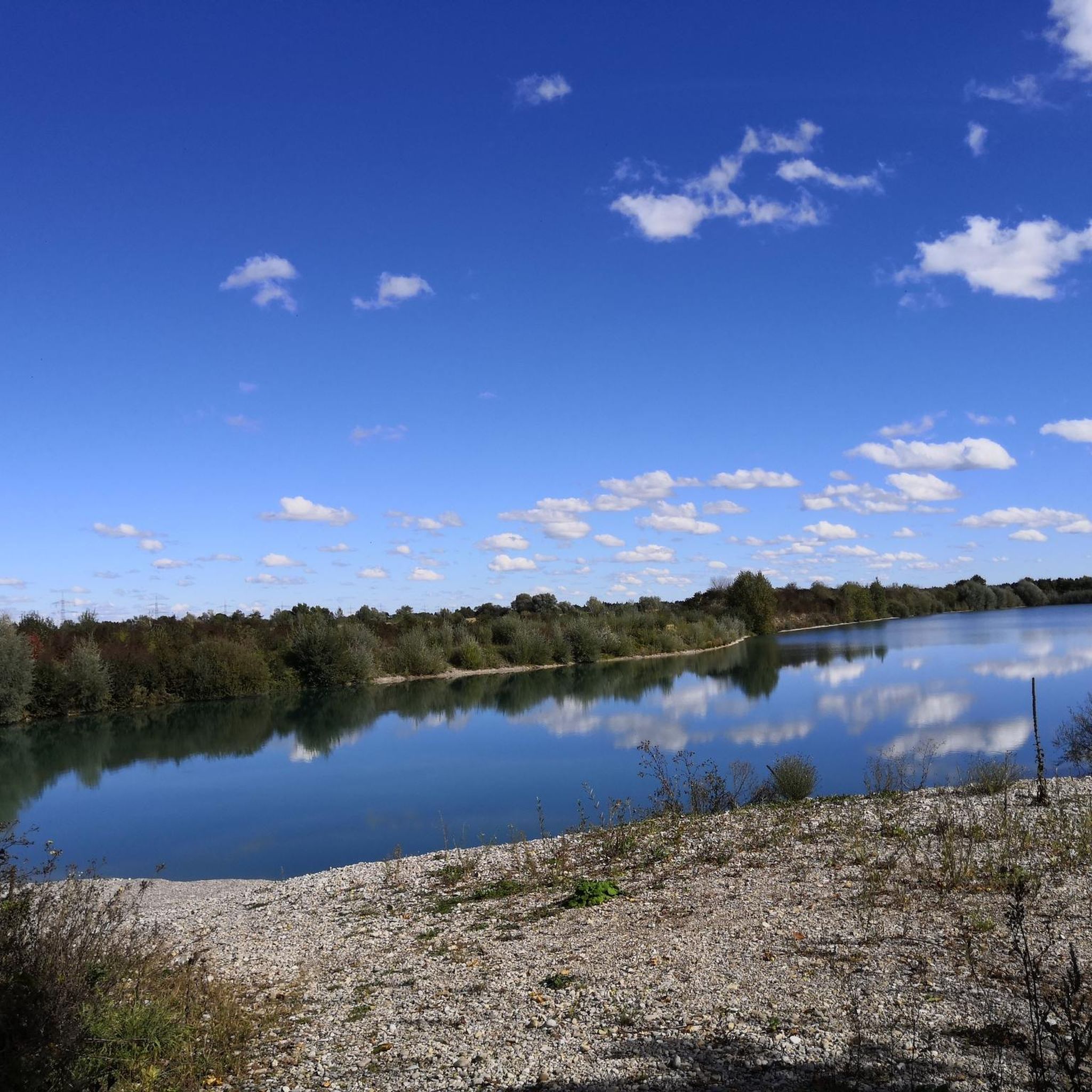
Great blue water in the Auensee and great for swimming
1
0
Beautiful view of the Lech from the weir
1
0
Wonderful view of the Lech from the weir
1
0
Beautiful view of the Lech from the weir
1
0
Beautiful view of the Lech from the path
1
0

On this section, the Lochbach shows its most beautiful side.
0
0

One of several Roman heads on the Via Claudia Augusta. Here is the SPQR Roman head.
1
0

Frequently Asked Questions
How many running routes are available in Oberottmarshausen?
Oberottmarshausen offers a diverse network of over 10 running routes. These trails vary in difficulty, providing options for different fitness levels, from moderate to more challenging paths.
What kind of terrain can I expect on the jogging trails around Oberottmarshausen?
The jogging trails in Oberottmarshausen feature varied terrain, including picturesque rolling hills, lush green meadows, and paths along the scenic Lech River. Many routes consist of soft forest paths and gravel trails, often shaded, ensuring a comfortable running experience.
Are there any family-friendly running routes in Oberottmarshausen?
While there are no routes specifically designated as 'easy' in our current selection, many of the moderate trails, particularly those through the shaded forests or along the Oberottmarshausener See, can be enjoyable for families looking for a pleasant outdoor activity. The Handtuchwald – Biotop loop from Oberottmarshausen is a moderate option that explores natural areas.
Can I bring my dog on the running trails in Oberottmarshausen?
Yes, the natural surroundings of Oberottmarshausen, with its extensive network of forest paths and open meadows, are generally dog-friendly. Many local runners enjoy bringing their dogs along. Always ensure your dog is on a leash where required and respect local wildlife.
Are there any circular running routes in the area?
Yes, many of the running routes around Oberottmarshausen are designed as circular paths, allowing you to start and end in the same location. For example, the challenging Running loop from Oberottmarshausen is a popular circular trail exploring the surrounding natural areas.
What are some interesting sights or landmarks I might see along the running routes?
As you jog, you might encounter various natural and historical sights. Along the Lech River, you could spot structures like Lech Weir 22 (Staustufe 22) Unterbergen. The region also features several castles, such as Haltenberg Castle Ruins, which are often part of the wider landscape.
Where can I find parking for the jogging routes in Oberottmarshausen?
Starting points for outdoor adventures often include the historic village center, which provides access to various trails. You can typically find parking facilities within or near the village center, offering convenient access to the trail network.
What do other runners enjoy most about jogging in Oberottmarshausen?
The running routes in Oberottmarshausen are highly rated by the komoot community, with an average score of 4.5 stars from over 300 reviews. Runners often praise the varied terrain, the peaceful atmosphere of the rolling hills and green meadows, and the scenic paths along the Lech River.
Are there any longer, more challenging running trails for experienced runners?
Absolutely. For those seeking a greater challenge, Oberottmarshausen offers several difficult routes. The Lech Weir 20 – Scheuring – Lech Dam 18 – Kaufering loop from Oberottmarshausen, for instance, is a demanding 41 km trail with significant elevation changes, perfect for long-distance training.
Are there any facilities like cafes or public transport access near the running trails?
The village center of Oberottmarshausen serves as a hub for various activities and provides access to trails. While specific cafes directly on trails are not listed, the village itself offers local amenities. For public transport, check local schedules for connections to Oberottmarshausen, which will allow access to the trail network from the village.
What natural features are prominent along the running routes?
The region is characterized by its gentle rolling hills, lush green meadows, and the picturesque Lech River. You'll also find riparian forests, such as the Lechauwald, providing natural surroundings. The Oberottmarshausener See (bathing lake) also features pathways ideal for tranquil jogs.
Is there a good time of year to go jogging in Oberottmarshausen?
Oberottmarshausen offers beautiful jogging conditions throughout the year. In spring, paths are adorned with colorful flowers, while in summer, the shady forest trails provide a pleasant respite from the heat. Autumn brings vibrant foliage, and even in winter, the trails can be enjoyed, though conditions may vary.
Most popular routes around Oberottmarshausen
Most popular attractions around Oberottmarshausen

Get inspired with the komoot mobile app


Explore more
Browse the best Running Trails & Routes in other regions.
