The best mountain hikes around Calden
4.0
(2)
7
hikers
3
hikes
Mountaineering routes around Calden traverse a landscape characterized by forested hills, historic parklands, and notable geological features such as basalt crags. The region offers varied terrain, including gentle ascents through wooded areas and paths leading to scenic viewpoints. Elevations are generally moderate, providing accessible mountaineering experiences.
Best mountaineering routes around Calden
- The most popular mountaineering route is View from Hoher Dörnberg – Hohlestein Basalt Crag loop from Habichtswald, a 5.9 miles (9.5 km) trail that takes 2 hours 47…
Last updated: August 15, 2026
1
hikers
Moderate mountaineering route. Good fitness required. Easily-accessible paths. Suitable for all skill levels.
4.0
(2)
5
hikers
Moderate mountaineering route. Good fitness required. Easily-accessible paths. Suitable for all skill levels.

Sign up for free
2
hikers
3.09km
00:52
60m
60m
Easy mountaineering route. Great for any fitness level. Easily-accessible paths. Suitable for all skill levels.
Our route recommendations are based on thousands of hikes, rides, and runs completed by other people on komoot.
Start today with a free account
Your next adventure awaits.
Login or Signup
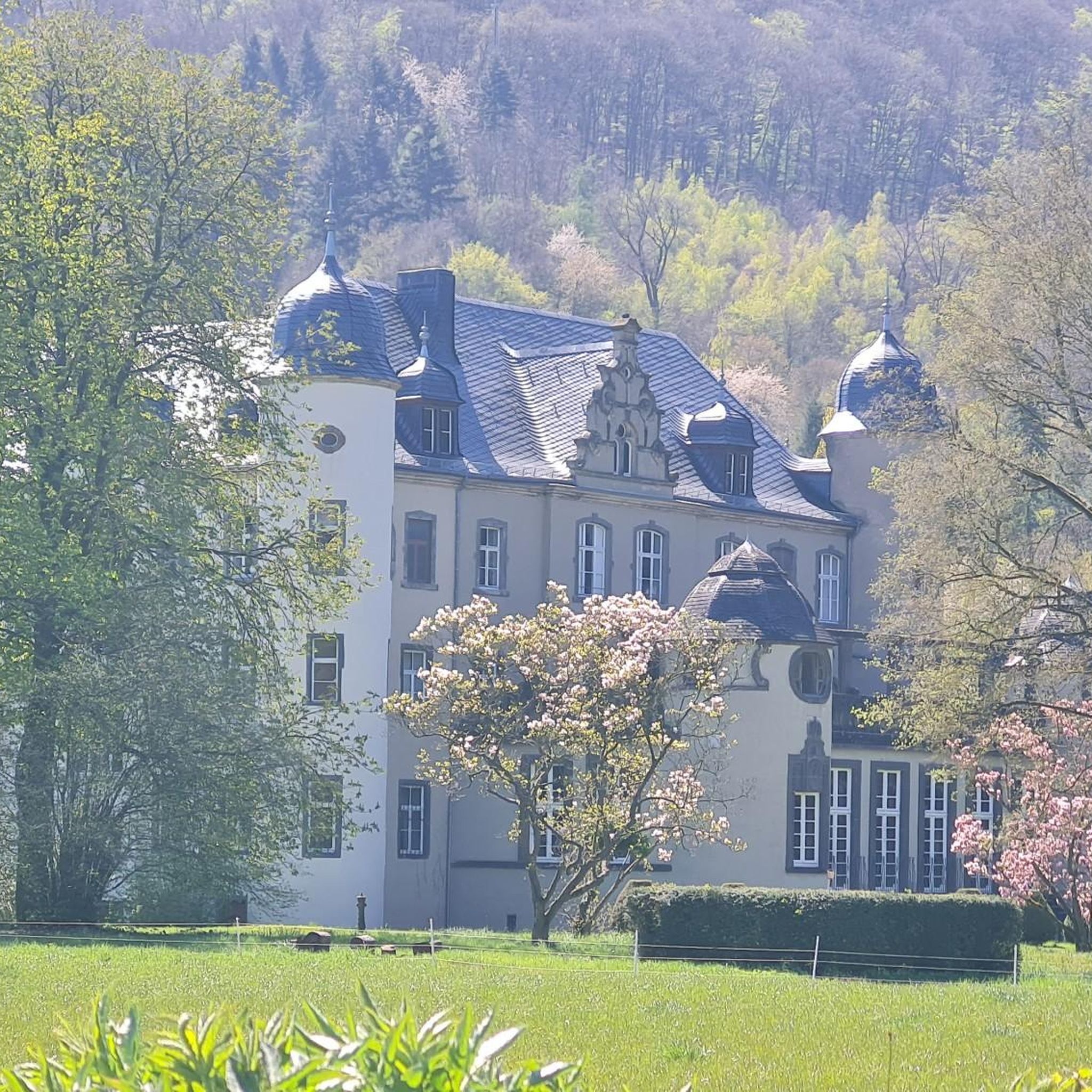
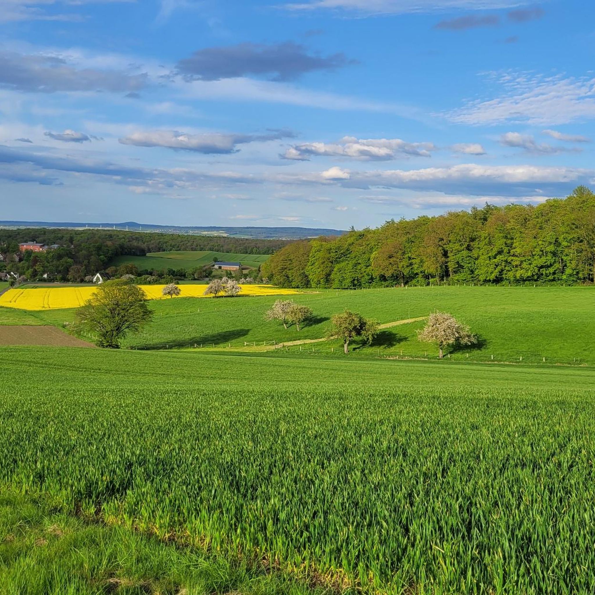
Tips from the Community

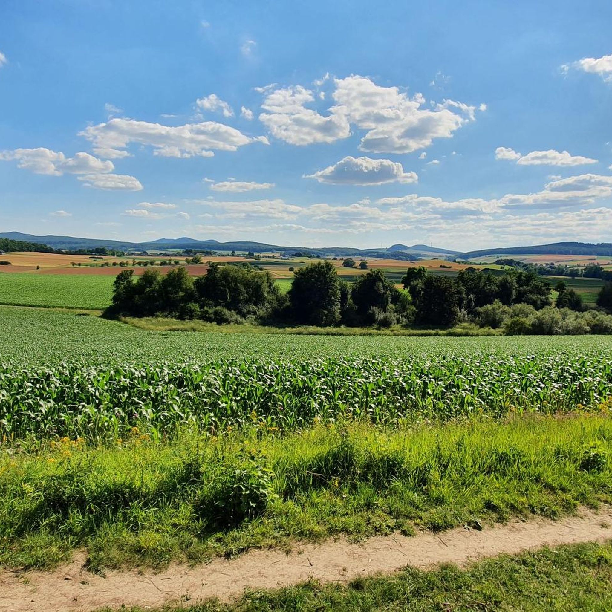
Anyone visiting Kassel must experience this view.
2
0


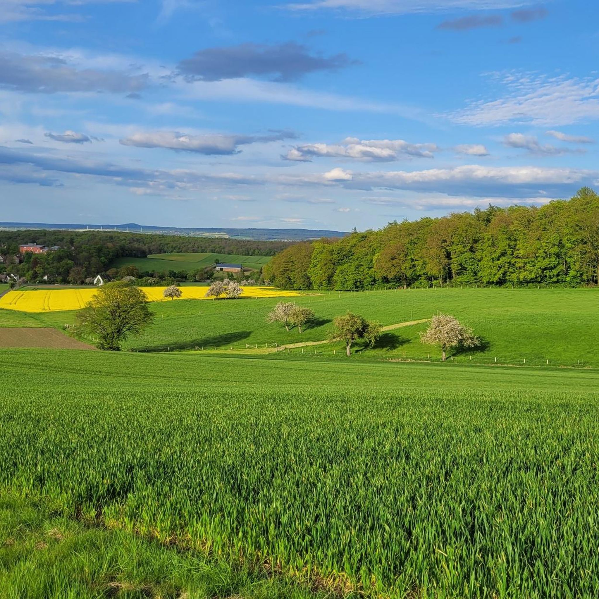
Very nice view from up here 🤩
1
0

Frequently Asked Questions
How many mountaineering routes are available around Calden?
Calden offers a selection of mountaineering routes, with a total of 3 tours currently featured. These routes traverse forested hills, historic parklands, and notable geological features, providing varied terrain for exploration.
What are the difficulty levels of mountaineering routes in Calden?
The mountaineering routes around Calden cater to various skill levels. You'll find 2 easy routes, such as the View of the Hercules Monument loop from Bergpark Wilhelmshöhe, and 1 moderate route, like the View from Hoher Dörnberg – Hohlestein Basalt Crag loop from Habichtswald. There are no difficult routes listed in this selection, making the area accessible for many.
Are there any family-friendly mountaineering options in Calden?
Yes, Calden offers several easy mountaineering routes suitable for families. The View of the Hercules Monument loop from Bergpark Wilhelmshöhe is an easy 3.7-mile (6.0 km) path exploring the historic Bergpark Wilhelmshöhe, perfect for a leisurely family outing. Another easy option is the View of the Zierenberg Viaduct – Pigskins loop from Dörnberg, a shorter 1.9-mile (3.1 km) trail.
Can I find circular mountaineering routes in the Calden area?
Yes, all the featured mountaineering routes around Calden are circular. For example, the View from Hoher Dörnberg – Hohlestein Basalt Crag loop from Habichtswald is a 5.9-mile (9.5 km) loop, and the View of the Hercules Monument loop from Bergpark Wilhelmshöhe is a 3.7-mile (6.0 km) circular path, allowing you to start and end at the same point.
What natural attractions or landmarks can I see along the mountaineering routes?
The mountaineering routes in Calden offer diverse sights. You can explore the historic Bergpark Wilhelmshöhe and enjoy views of the Hercules Monument on the View of the Hercules Monument loop. The View from Hoher Dörnberg – Hohlestein Basalt Crag loop provides views from Hoher Dörnberg and passes the Hohlestein Basalt Crag. Additionally, nearby attractions include the Firnsbach valley on the Habichtswaldsteig trail and the Ahne Gorge.
What is the best time of year for mountaineering in Calden?
The region around Calden, with its forested hills and moderate elevations, is generally pleasant for mountaineering from spring through autumn. During these seasons, you can expect favorable weather conditions for exploring the trails and enjoying the scenic viewpoints. Winter mountaineering is possible, but conditions may vary, requiring appropriate gear and caution due to potential snow or ice.
Are there options for more experienced mountaineers looking for a challenge?
While the featured routes are primarily easy to moderate, the View from Hoher Dörnberg – Hohlestein Basalt Crag loop from Habichtswald offers a moderate challenge with 880 ft (268 m) of elevation gain over 5.9 miles (9.5 km). For those seeking more strenuous options, exploring the wider Habichtswald Nature Park, which borders Calden, may reveal additional challenging trails, though they are not part of this specific guide.
Where can I find parking for mountaineering trails in Calden?
Specific parking information for each route is typically available on the individual tour pages on komoot. Generally, trailheads for routes like those starting from Habichtswald or Bergpark Wilhelmshöhe often have designated parking areas nearby. It's advisable to check the route details for precise parking locations before your trip.
Are there any cafes or places to eat near the mountaineering routes?
The Calden region, being close to Kassel, offers various dining options. While specific cafes directly on the trails are not listed, routes passing through or near Bergpark Wilhelmshöhe or Dörnberg will likely have access to local eateries in nearby towns or villages. Planning your route with a stop in a local community can provide opportunities for refreshments.
What do other mountaineers say about the routes in Calden?
The mountaineering routes in Calden are highly regarded by the komoot community, boasting an average rating of 4.3 stars from 3 reviews. Mountaineers often praise the varied terrain, the scenic views from spots like Hoher Dörnberg, and the well-maintained paths through forested areas and historic parklands.
Are permits required for mountaineering in the Calden area?
Generally, permits are not required for recreational mountaineering or hiking on marked trails in the Calden area, which primarily consists of public forests and parklands. However, it's always good practice to respect local regulations, especially within protected areas like nature parks. No specific permit requirements are noted for the routes in this guide.
Can I reach the starting points of these routes by public transport?
Calden and its surrounding areas are typically well-connected by local public transport, especially from the larger city of Kassel. While specific public transport links to each trailhead are not detailed here, many starting points, particularly those near Bergpark Wilhelmshöhe or within accessible villages, can often be reached by bus or train. Checking local transport schedules for the specific trailhead is recommended.
Are there any longer mountaineering routes for extended trips?
Among the featured routes, the View from Hoher Dörnberg – Hohlestein Basalt Crag loop from Habichtswald is the longest at 5.9 miles (9.5 km), taking approximately 2 hours 47 minutes. While this guide focuses on shorter to moderate options, the broader Habichtswald Nature Park offers a network of trails that can be combined for longer, multi-hour mountaineering experiences.
Most popular attractions around Calden

Get inspired with the komoot mobile app


Explore more
Browse the best Mountain Hikes & Routes in other regions.
