The best mountain hikes around Habichtswald
4.0
(2)
10
hikers
4
hikes
Mountaineering around Habichtswald offers a diverse landscape characterized by dense woodlands, rolling hills, and notable basalt formations. This low mountain range, situated near Kassel, provides varied terrain suitable for exploration. The region features a network of trails that traverse forested areas and open viewpoints, with elevations generally under 200m, presenting a mix of easy and moderate routes.
Best mountaineering routes around Habichtswald
- The most popular mountaineering route is View from Hoher Dörnberg – Hohlestein Basalt Crag loop from Habichtswald,…
Last updated: October 8, 2026
1
hikers
Moderate mountaineering route. Good fitness required. Easily-accessible paths. Suitable for all skill levels.
4.0
(2)
5
hikers
Moderate mountaineering route. Good fitness required. Easily-accessible paths. Suitable for all skill levels.

1
hikers
6.73km
01:42
10m
10m
Easy mountaineering route. Great for any fitness level. Easily-accessible paths. Suitable for all skill levels.
2
hikers
3.09km
00:52
60m
60m
Easy mountaineering route. Great for any fitness level. Easily-accessible paths. Suitable for all skill levels.
1
hikers
12.9km
03:37
250m
250m
Moderate mountaineering route. Good fitness required. Easily-accessible paths. Suitable for all skill levels.
Our route recommendations are based on thousands of hikes, rides, and runs completed by other people on komoot.
Start today with a free account
Your next adventure awaits.
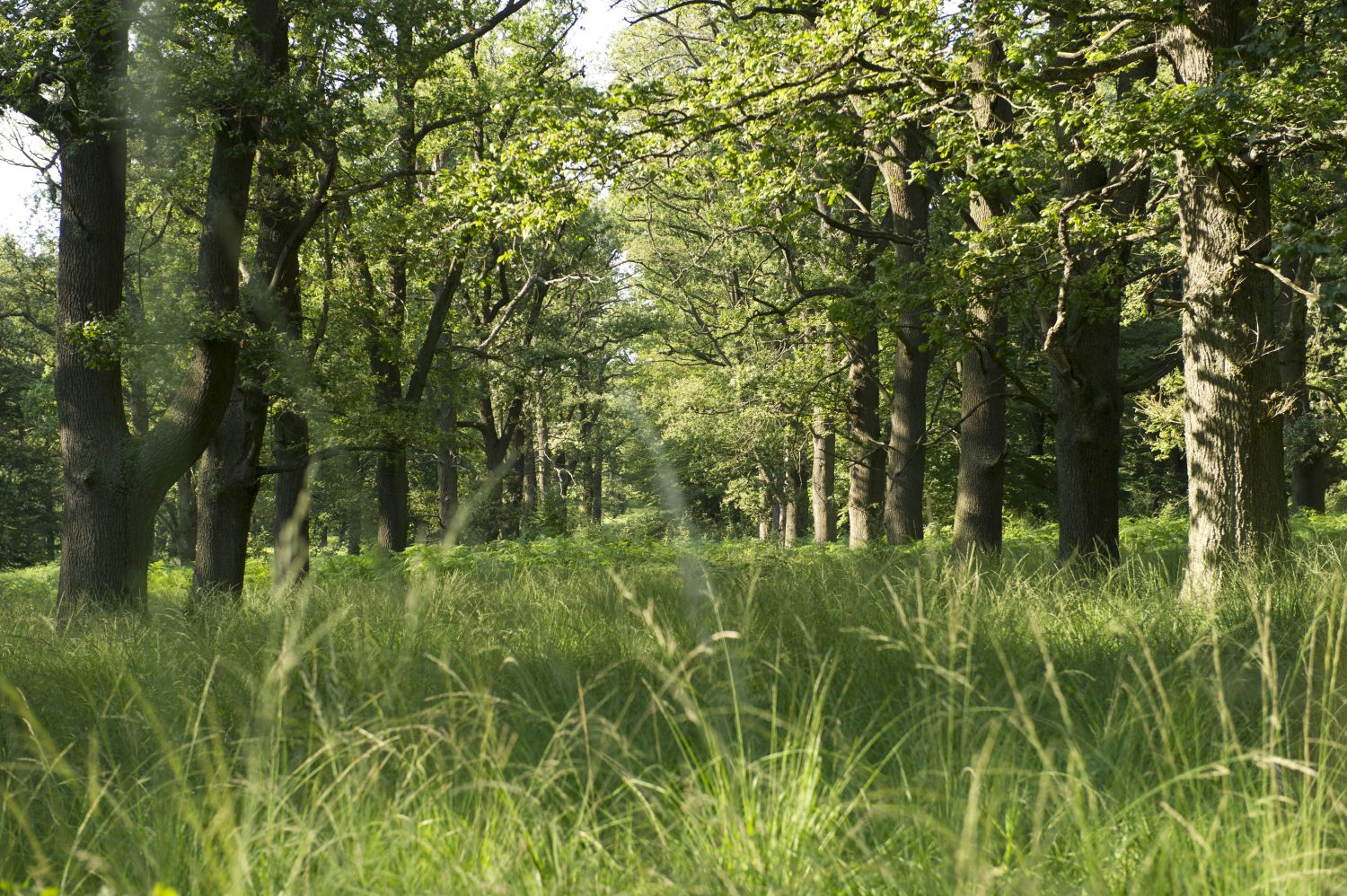
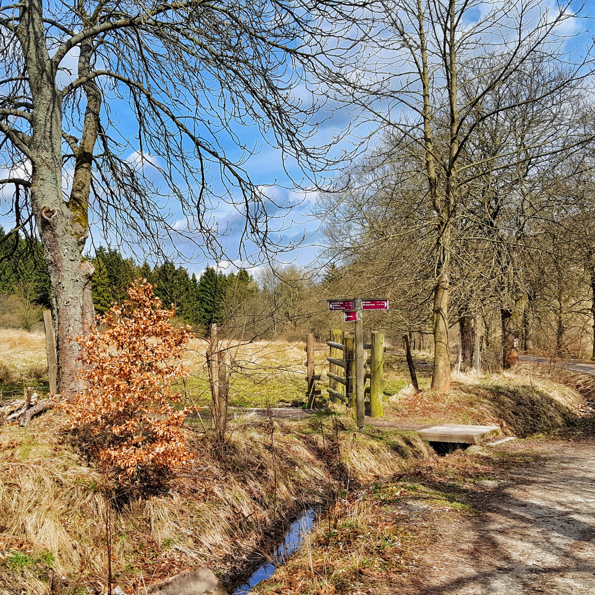
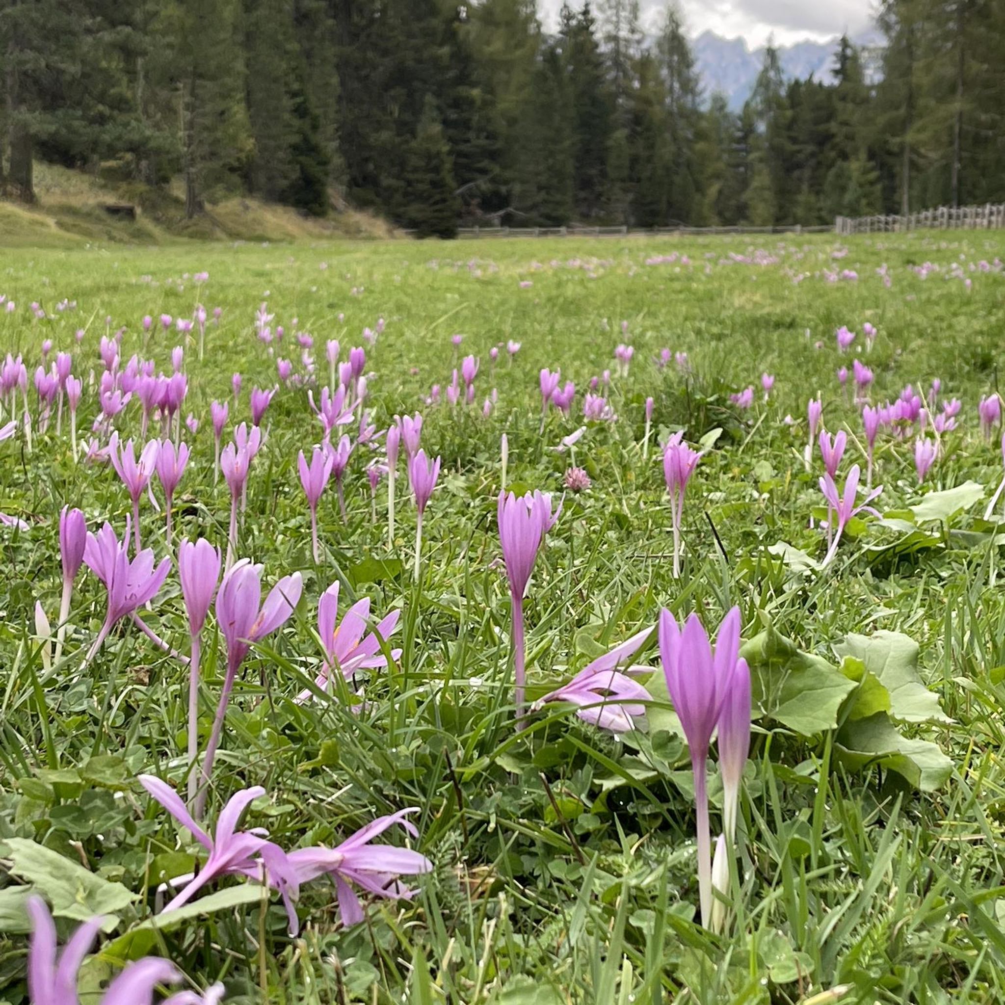
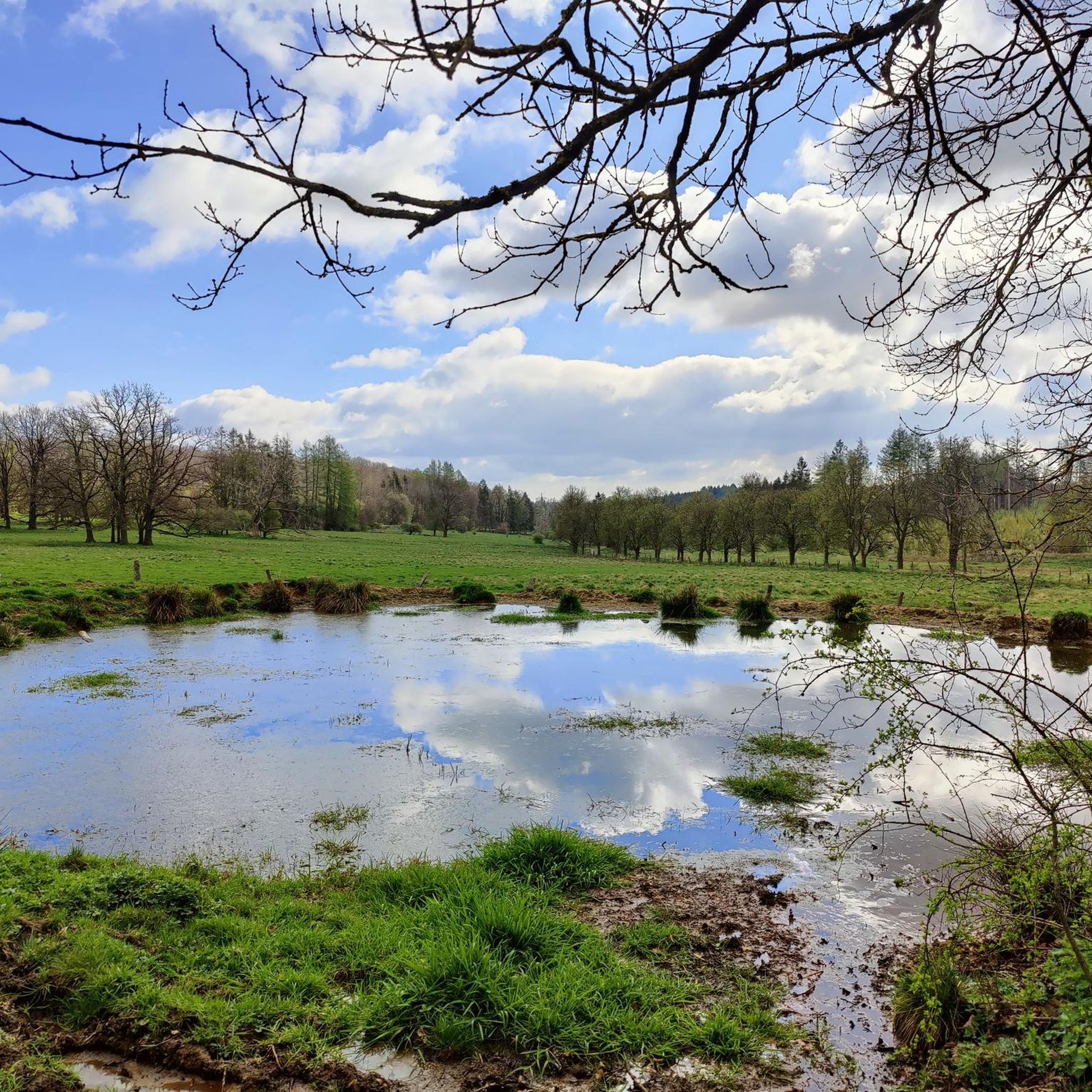
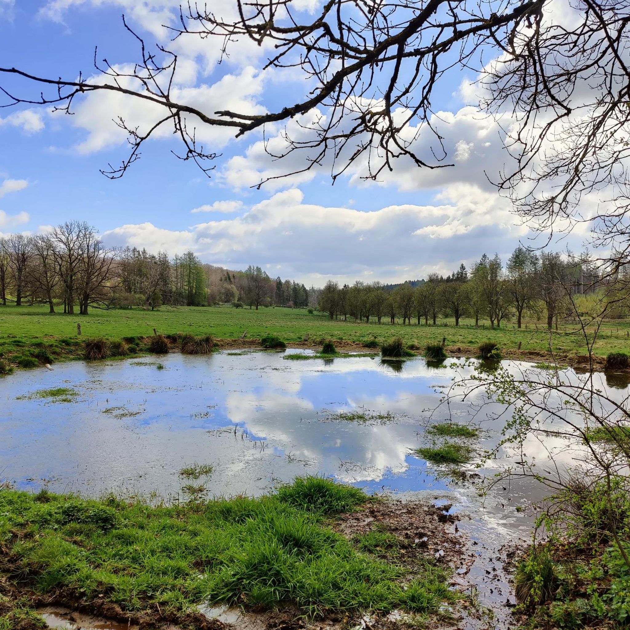
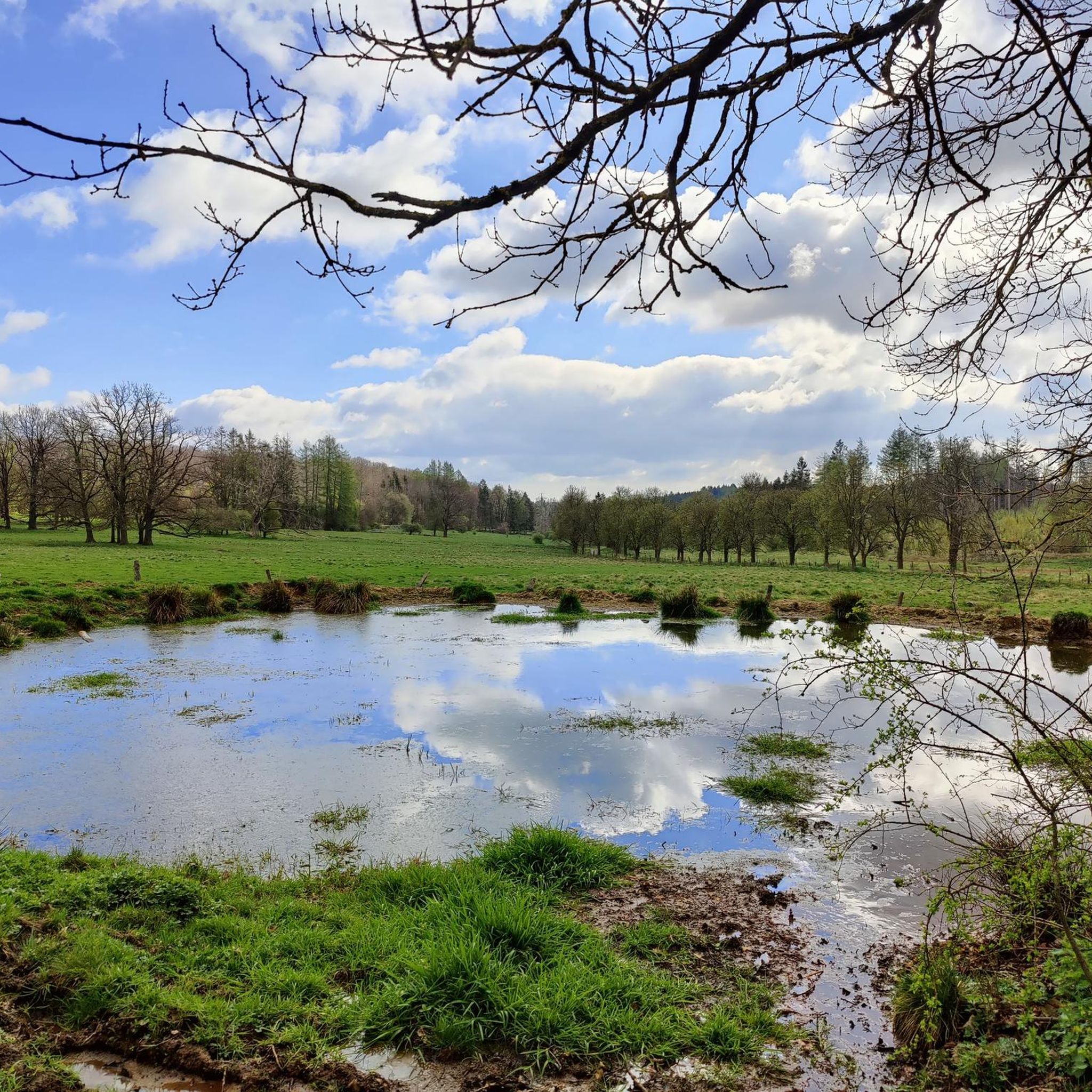
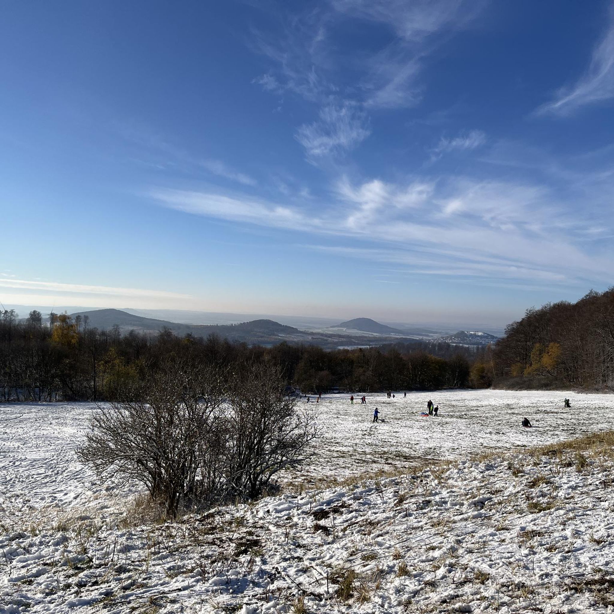
Other adventures around Habichtswald

Tips from the Community

Deep down in the Warme valley, the 1896 railway viaduct lies as a focal point, over which trains still run today from Kassel via Volkmarsen, Bad Arolsen to Korbach ... and vice versa. ☺️
4
0
The Alpine path is truly beautiful. Especially these ancient cultivated beeches are magical.
5
0

These gnarled, often multi-stemmed tree monuments bear witness to the centuries-old tradition of forest grazing (Hutung), where cattle were driven into the woods.
0
0

A great recreational area in the middle of Kassel
0
0
Here the dimensions of our solar system became tangible!
1
0
Anyone visiting Kassel must experience this view.
2
0
Wonderful terrain which is highly recommended as a recreational area!
2
0
Wonderful spacious complex with ever-new paths.
1
0
Frequently Asked Questions
How many mountaineering routes are available in Habichtswald?
There are several mountaineering routes in Habichtswald, with komoot currently featuring 4 distinct tours. These routes offer a mix of easy and moderate challenges, allowing you to explore the region's diverse landscape.
What is the general difficulty level of mountaineering routes in Habichtswald?
The mountaineering routes in Habichtswald are generally classified as easy to moderate. You'll find 2 easy routes and 2 moderate routes, making the area accessible for various skill levels, from beginners to those seeking a bit more challenge.
Are there any easy mountaineering routes suitable for beginners in Habichtswald?
Yes, Habichtswald offers several easy mountaineering routes perfect for beginners. For instance, the View of the Hercules Monument loop from Bergpark Wilhelmshöhe is an easy 6.0 km path, offering scenic views without significant difficulty. Another great option is the Buga Lake – Karlsaue Kassel loop from Kunsthochschule Kassel, which is 6.5 km and leads through urban parks.
What are some longer, more challenging mountaineering routes in the Habichtswald region?
For those seeking a longer, more challenging experience, consider the Kurpark Bad Emstal – Engels Ruh Rest Area loop from Bad Emstal. This moderate route spans 12.9 km and typically takes around 3 hours 37 minutes to complete, offering a substantial outing through the landscape.
Are the mountaineering trails in Habichtswald suitable for families with children?
Many of the easy routes in Habichtswald are suitable for families. The terrain, characterized by rolling hills and woodlands, is generally manageable. The View of the Zierenberg Viaduct – Pigskins loop from Dörnberg, at just 3.1 km, is a shorter, easy option that could be enjoyable for families.
What are the best seasons for mountaineering in Habichtswald?
Habichtswald is enjoyable for mountaineering throughout much of the year. Spring and autumn offer pleasant temperatures and vibrant scenery, while summer provides longer daylight hours. Even in winter, with appropriate gear, the low mountain range can be explored, though conditions may vary.
Are there any circular mountaineering routes in Habichtswald?
Yes, all the featured mountaineering routes in Habichtswald are circular, allowing you to start and end at the same point. This includes popular options like the View from Hoher Dörnberg – Hohlestein Basalt Crag loop from Habichtswald, which offers diverse views.
What interesting landmarks or attractions can I see along the mountaineering routes in Habichtswald?
Habichtswald is rich in natural and historical landmarks. You can encounter the impressive Hercules Monument and the stunning Neptune Basin and the Cascades within Bergpark Wilhelmshöhe. Other notable sights include the unique basalt formations of Helfensteine and historical structures like Wilhelmshöhe Palace and Löwenburg.
Are there any caves or unique geological features to explore near the trails?
Absolutely. The region around Habichtswald features several interesting caves and geological formations. You can explore the Vexier Water Grotto, the mysterious Dragon Cave at Graner Berg, and the Firnskuppe Basalt Tuff Hill and Sagenschacht, which offer a glimpse into the area's unique geology.
What do other mountaineers enjoy the most about mountaineering in Habichtswald?
The area is highly rated by the komoot community, with an average score of 4.3 stars. Reviewers often praise the diverse landscape, which combines dense woodlands, rolling hills, and notable basalt formations, providing varied terrain for exploration. The well-maintained network of trails and the scenic viewpoints are also frequently highlighted.
Can I reach the trailheads using public transport from Kassel?
Yes, many areas within Habichtswald are accessible by public transport from Kassel. For routes closer to the city, such as those around Bergpark Wilhelmshöhe or Karlsaue, local buses and trams provide convenient access to the starting points.
Most popular routes around Habichtswald
Most popular attractions around Habichtswald

Get inspired with the komoot mobile app


Explore more
Browse the best Mountain Hikes & Routes in other regions.
