The best mountain hikes around Much
9
hikers
4
hikes
Mountaineering routes around Much traverse a landscape characterized by rolling hills, river valleys, and dense woodlands. The region, situated near Cologne in Germany, features a network of paths that follow brooks and rivers, offering varied terrain with moderate elevation changes. While not known for high mountain peaks, the area provides opportunities for outdoor exploration through its natural scenery and historical points of interest. The routes often lead through forested areas and along waterways, providing a mix of natural and cultural…
Last updated: October 8, 2026
1
hikers
9.97km
02:40
120m
120m
Moderate mountaineering route. Good fitness required. Easily-accessible paths. Suitable for all skill levels.
3
hikers
7.13km
01:57
110m
110m
Easy mountaineering route. Great for any fitness level. Easily-accessible paths. Suitable for all skill levels.

1
hikers
Moderate mountaineering route. Good fitness required. Easily-accessible paths. Suitable for all skill levels.
1
hikers
10.2km
03:10
310m
310m
Moderate mountaineering route. Good fitness required. Mostly accessible paths. Sure-footedness required.
2
hikers
23.8km
06:51
530m
530m
Hard mountaineering route. Very good fitness required. Mostly accessible paths. Sure-footedness required.
Our route recommendations are based on thousands of hikes, rides, and runs completed by other people on komoot.
Start today with a free account
Your next adventure awaits.
Popular around Much
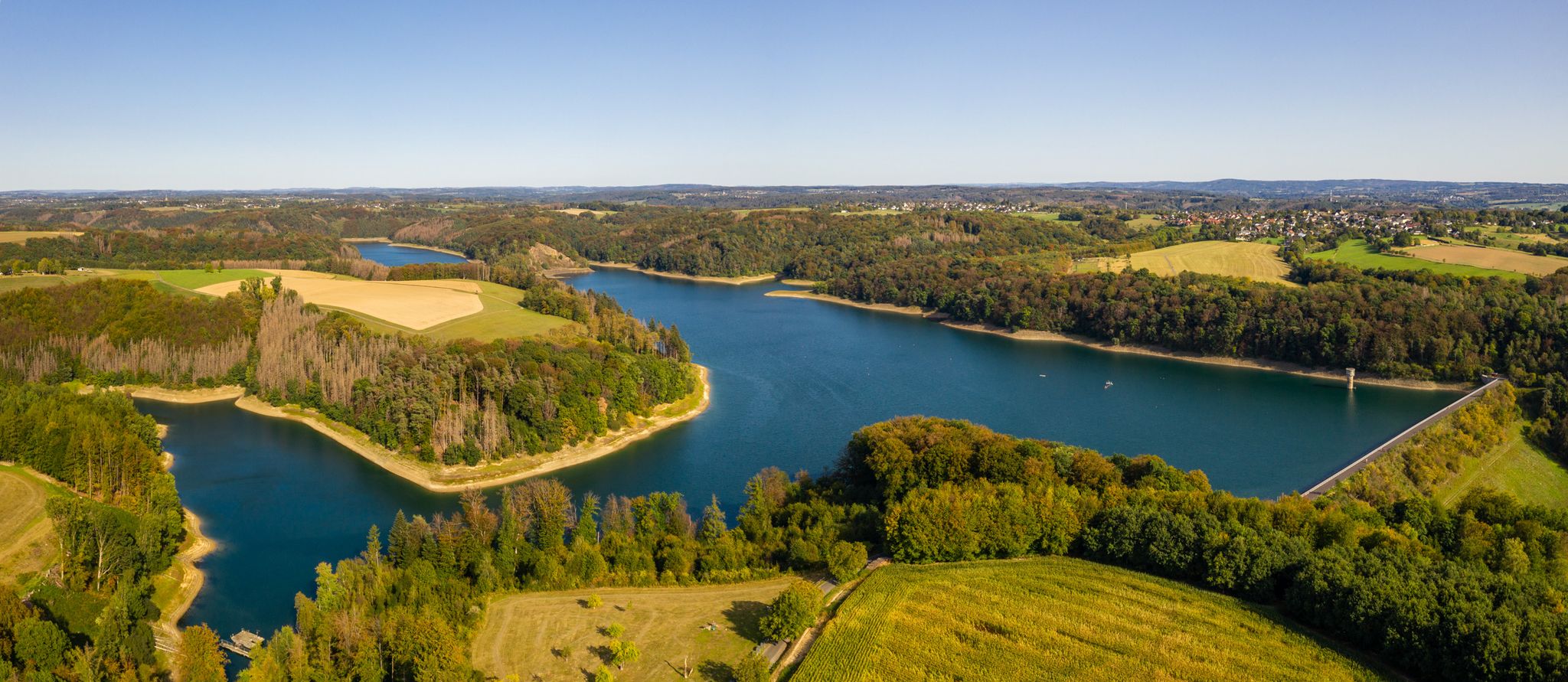
Bergische Rambles – themed and adventure trails in the Bergisches Land region
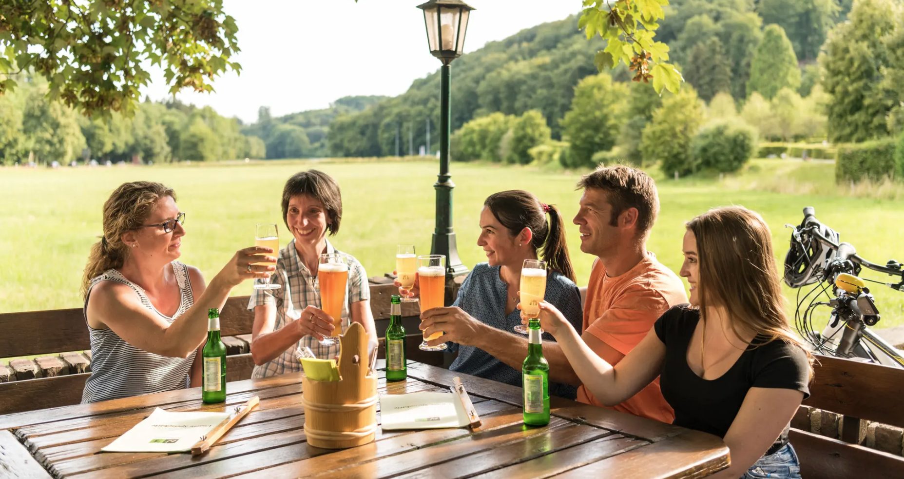
Hike and indulge in regional delights in Bergisches Land
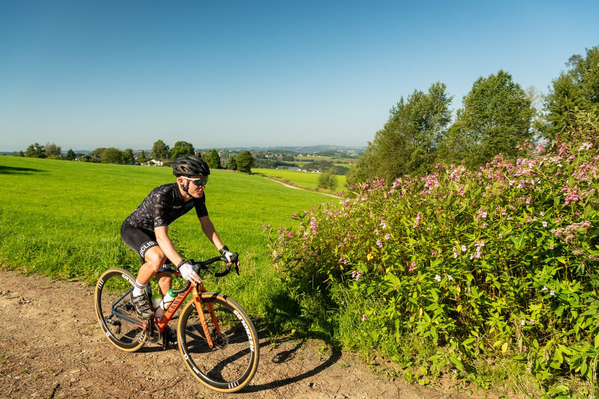
Forests, meadows and valleys — Gravel bike Tours in Bergisches Land
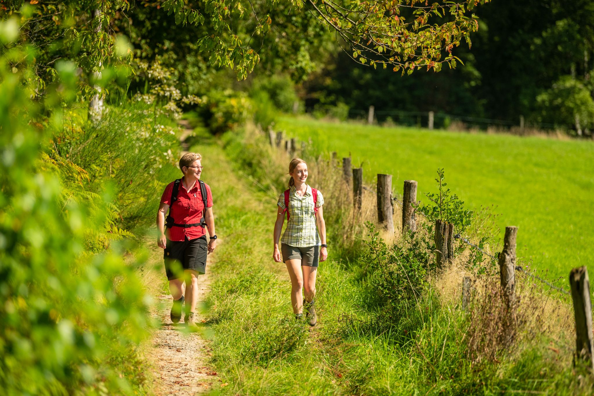
The Bergische Weg - Germany's most beautiful hiking trail 2024
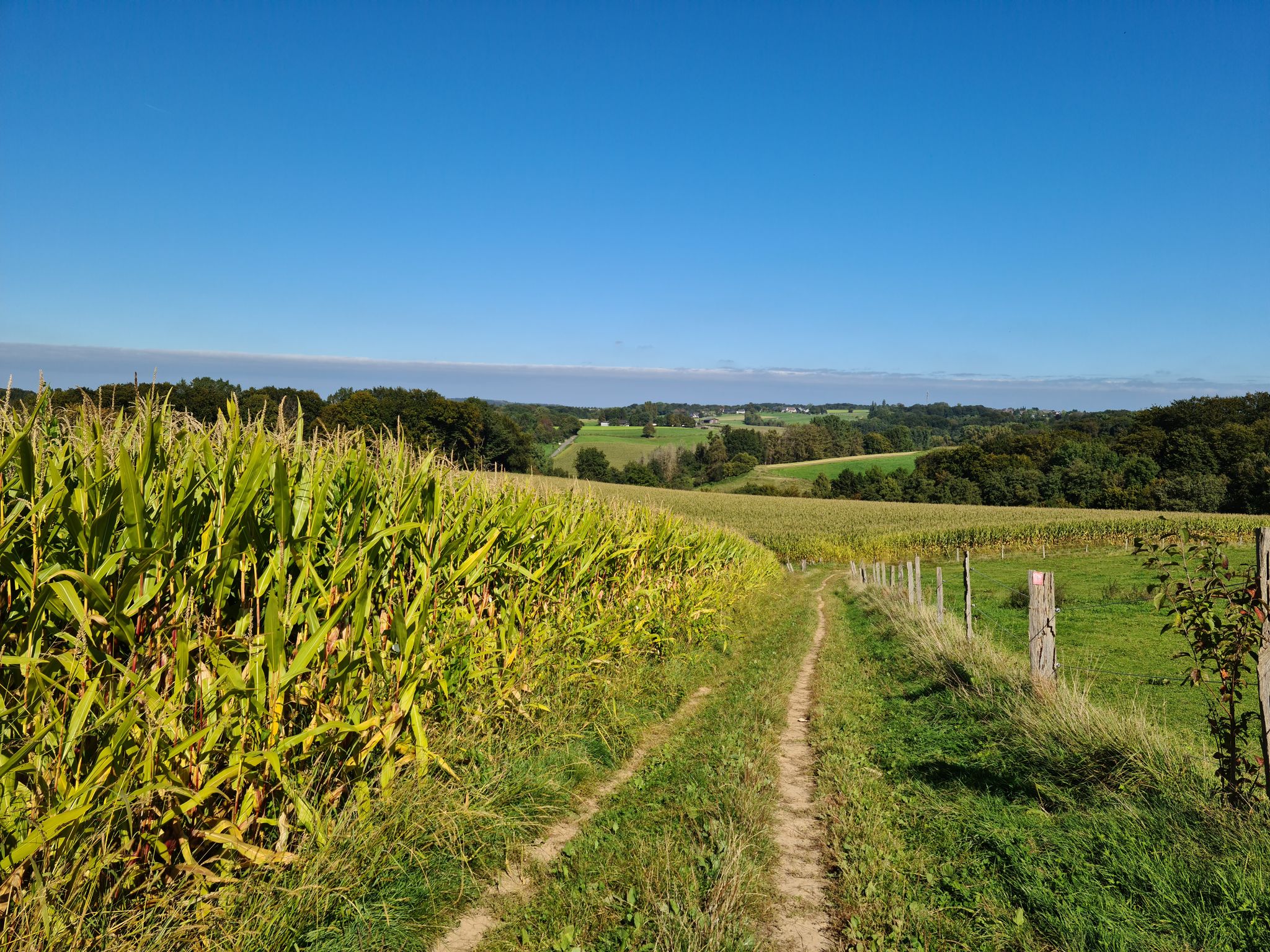
Rambles and hikes in Bergisches Land
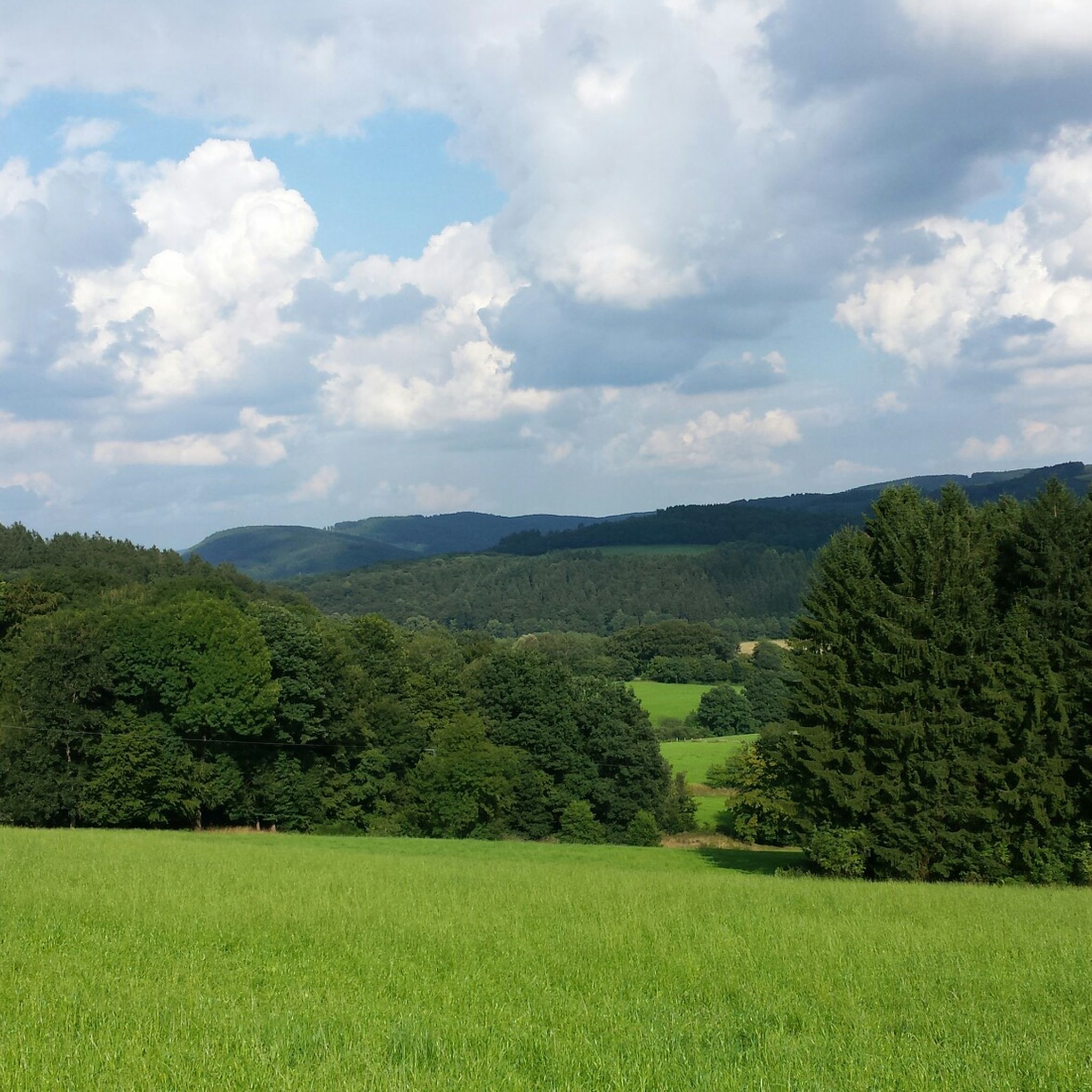
Hiking around Much
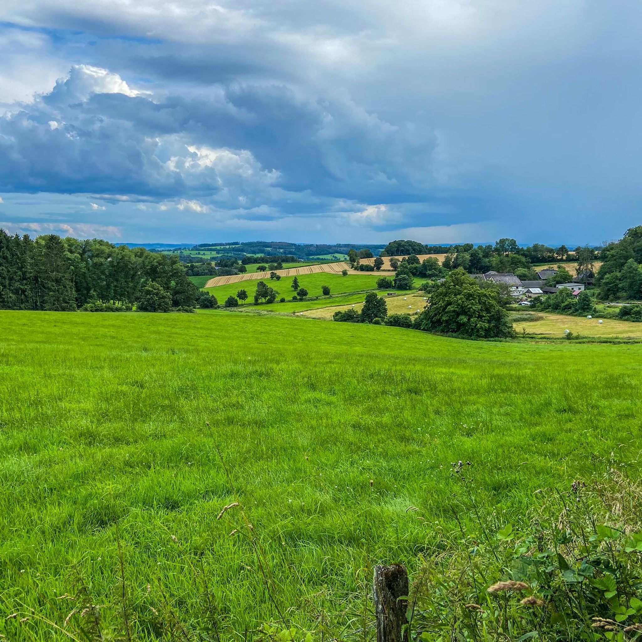
Cycling around Much
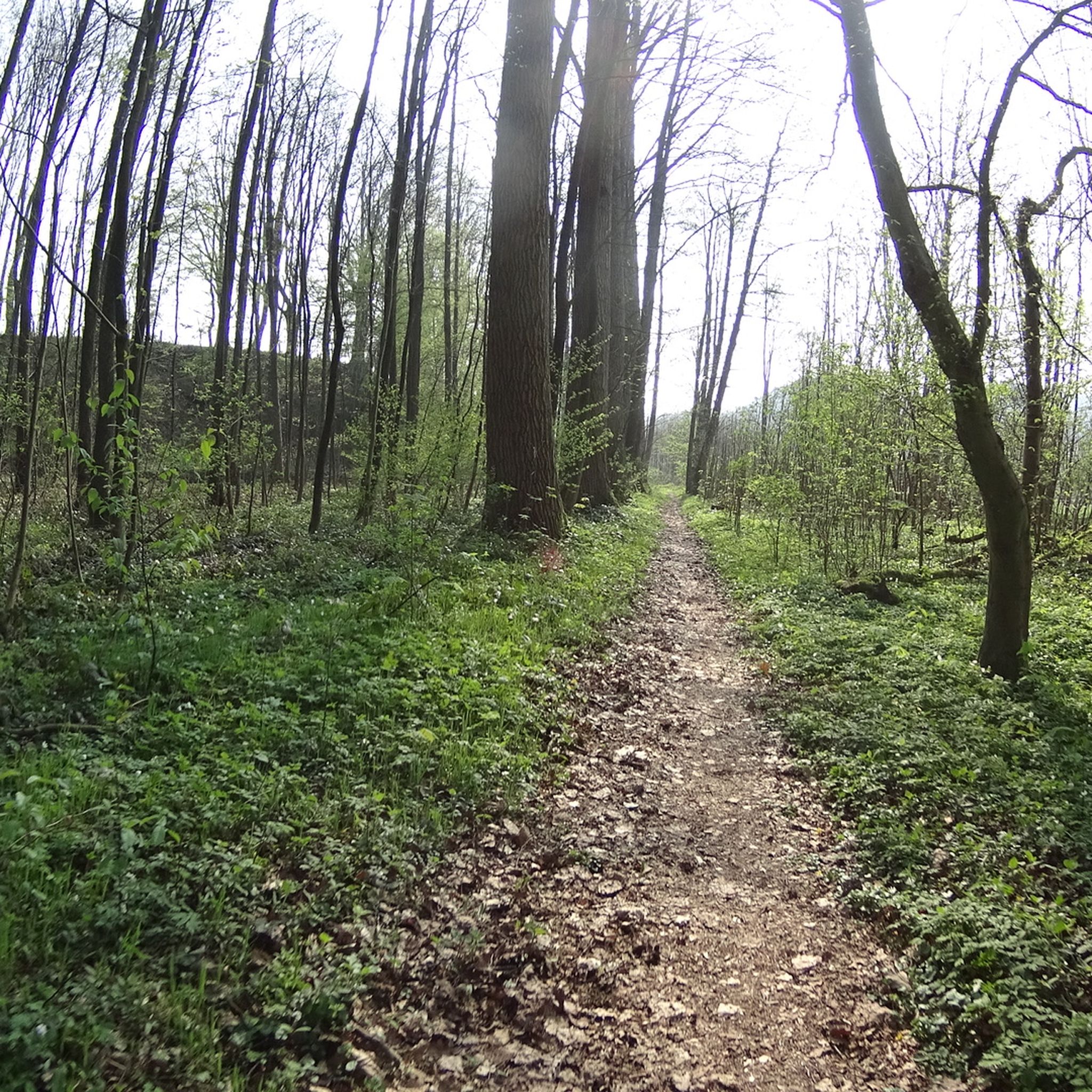
MTB Trails around Much
Gravel biking around Much
Road Cycling Routes around Much
Other adventures around Much


Tips from the Community

Clearly visible above the Sieg valley
2
0
Enjoy the old crooked archway
2
0
It starts at the hiking parking lot
2
0
Trench tower of the town fortifications in Blankenberg
5
0

The Sülz River flows powerfully through Hoffnungsthal. This tributary of the Agger, approximately 25 kilometers long, significantly shapes not only the townscape but also the surrounding landscape. Densely vegetated banks and open green spaces line the river. During heavy rainfall, the Sülz often swells rapidly, flooding the areas it surrounds.
1
0
The Kupfersiefer Valley near Rösrath is a protected landscape area that perfectly showcases the diversity of the Bergisches Land region's valleys. Here, the stream meanders naturally for extended stretches, accompanied by damp meadows, old groves, and wooded slopes. The valley provides a habitat for numerous animal and plant species. As you walk through this approximately 65-hectare nature reserve, you can enjoy peace and quiet far removed from the hustle and bustle of everyday life.
2
0

Eulenbroich Castle was built around 1200 as a moated castle and is located in the Sülz river valley, very close to the center of Rösrath. Over the centuries, the building has served many different purposes: as a grand bourgeois villa, as the mayor's residence, and as a retirement home. Since 2003, the Eulenbroich Castle Cultural Association has managed the castle. Today, Eulenbroich Castle is open to the public for concerts, corporate events, markets, seminars, conferences, weddings, communion celebrations, and birthday parties.
0
0

Frequently Asked Questions
What types of mountaineering routes can I find around Much?
The routes around Much primarily feature rolling hills, river valleys, and dense woodlands. You'll find paths that follow brooks and rivers, offering varied terrain with moderate elevation changes. The area provides a mix of natural scenery and historical points of interest, with options ranging from moderate to more challenging routes.
Are there routes suitable for beginners or families around Much?
Yes, there is one easy route available: the Sülz Riverside Path – Bridge Over the Sülz loop from Rösrath. This 7 km path is a good option for those looking for a less strenuous experience.
What are some of the more challenging mountaineering routes in the Much region?
For those seeking a challenge, consider the Stachelberg – City of Blankenberg loop from Bödingen, a difficult 23.2 km trail that typically takes nearly 7 hours to complete. Another difficult option is the Stachelberg – Halberger Bachtal singletrack loop from Bödingen, which is 10.2 km long.
What kind of natural features or landmarks can I expect to see along the routes?
The routes often lead through forested areas and along waterways. You can explore highlights such as the Wahnbach Reservoir or the Aggerbogen Footbridge. For historical interest, the Ehreshoven Castle is also nearby.
Are there any routes that offer good viewpoints or summits?
Yes, several routes provide access to elevated points. You can find viewpoints like Stachelberg or summits such as Heckberg. The Franziska Shaft Headframe – View from Lüderich loop from Hoffnungsthal specifically offers views from the Lüderich hill.
What is the typical duration for mountaineering routes around Much?
Route durations vary significantly. An easy route like the Sülz Riverside Path – Bridge Over the Sülz loop from Rösrath can take under 2 hours, while a difficult one like the Stachelberg – City of Blankenberg loop from Bödingen can take almost 7 hours.
Are the mountaineering routes around Much typically circular?
Yes, all the featured mountaineering routes in this guide are designed as loops, meaning they start and end in the same general location, making them convenient for day trips.
What is the best time of year for mountaineering in the Much region?
While specific seasonal data for Much is not available, Germany's low mountain ranges are generally pleasant for outdoor activities from spring through autumn. Spring brings blooming landscapes, summer offers warmer weather, and autumn provides beautiful foliage. Winter conditions can vary, with some trails potentially becoming icy or snowy.
Are there any historical sites along the mountaineering routes?
Yes, some routes pass by historical features. For example, the Franziska Shaft Headframe – View from Lüderich loop from Hoffnungsthal passes by historical mining features. Additionally, the Windecks Gericht (Gallows Hill) Memorial is a notable historical site in the area.
What do other mountaineers enjoy about the routes in Much?
Mountaineers exploring Much often appreciate the varied terrain, the scenic brook valleys, and the mix of natural and cultural experiences. The routes are well-regarded for their opportunities to explore forested areas and historical landmarks.
Are there places to eat or drink near the mountaineering routes in Much?
While specific establishments aren't detailed for each route, the region, like many areas in Germany, often features charming villages and towns near hiking routes. You might find options like the Gammersbacher Mill Farm and Beer Garden, which is a local highlight.
Most popular attractions around Much

Get inspired with the komoot mobile app


Explore more
Browse the best Mountain Hikes & Routes in other regions.
