The best mountain hikes around Blankenheim
5.0
(3)
6
hikers
4
hikes
Mountaineering routes around Blankenheim traverse the diverse Eifel landscape, characterized by rolling hills, forests, and valleys. The region features the scenic Ahr Valley, originating from the River Ahr spring in Blankenheim, and includes unique juniper conservation areas. While not offering technical climbing, the terrain provides ample opportunities for strenuous hillwalking and ascents, with many elevated points offering panoramic views.
Best mountaineering routes around Blankenheim
- The most popular mountaineering route is Dreimühlen Waterfall – Nohner Mill Café loop from Üxheim, a 3.4 miles (5.5 km) trail that takes 1 hour 31 minutes to complete, leading to the unique Dreimühlen Waterfall.
- Another top favourite among local mountaineers is Entrance to Steinfeld Abbey – Steinfeld Monastery Wall Trail loop from NSG Kallbach und Rotzbach, a moderate 7.2 miles (11.6 km) path that explores a natural reserve and historical monastery surroundings.
- Local mountaineers also love the Ruins of Kronenburg Castle loop from NSG Honertseifen und Heinborn, a 2.8 miles (4.5 km) trail leading through a natural reserve and past historic castle ruins, often completed in about 1 hour 18 minutes.
- Mountaineering around Blankenheim is defined by rolling hills, dense forests, and the scenic Ahr Valley. The network offers options for different ability levels, from easy walks to more challenging ascents.
- The routes in Blankenheim are highly rated by the komoot community with an average score of 5.0 stars from over 3 reviews. More than 6 mountaineers have used komoot to explore Blankenheim's varied terrain.
Last updated: October 7, 2026
5.0
(1)
1
hikers
5.50km
01:31
100m
100m
Easy mountaineering route. Great for any fitness level. Easily-accessible paths. Suitable for all skill levels.
5.0
(1)
2
hikers
Moderate mountaineering route. Good fitness required. Easily-accessible paths. Suitable for all skill levels.

5.0
(1)
1
hikers
4.50km
01:19
120m
130m
Easy mountaineering route. Great for any fitness level. Easily-accessible paths. Suitable for all skill levels.
1
hikers
Moderate mountaineering route. Good fitness required. Easily-accessible paths. Suitable for all skill levels.
1
hikers
5.38km
01:30
110m
110m
Easy mountaineering route. Great for any fitness level. Easily-accessible paths. Suitable for all skill levels.
Our route recommendations are based on thousands of hikes, rides, and runs completed by other people on komoot.
Start today with a free account
Your next adventure awaits.
Popular around Blankenheim
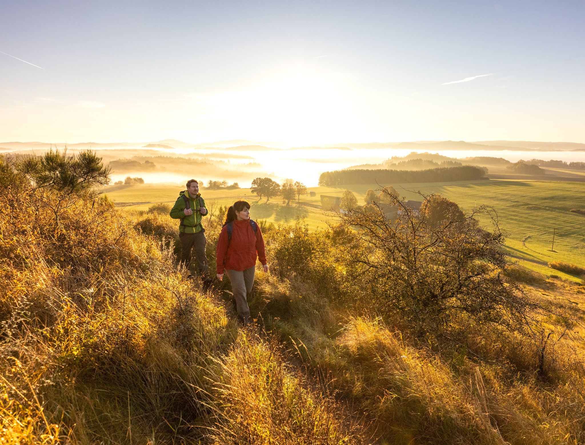
The 15 stages of the Eifelsteig Trail — Between rocks and water
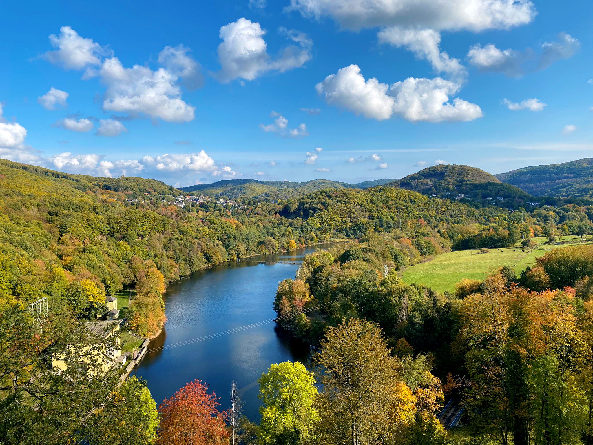
Idyllic valleys and picturesque waterways – Eifel Peak Route Cycle Path
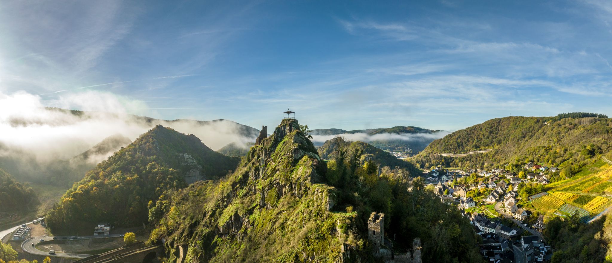
Zwischen Weinbergen und schroffen Felsen – Wandern im Ahrtal
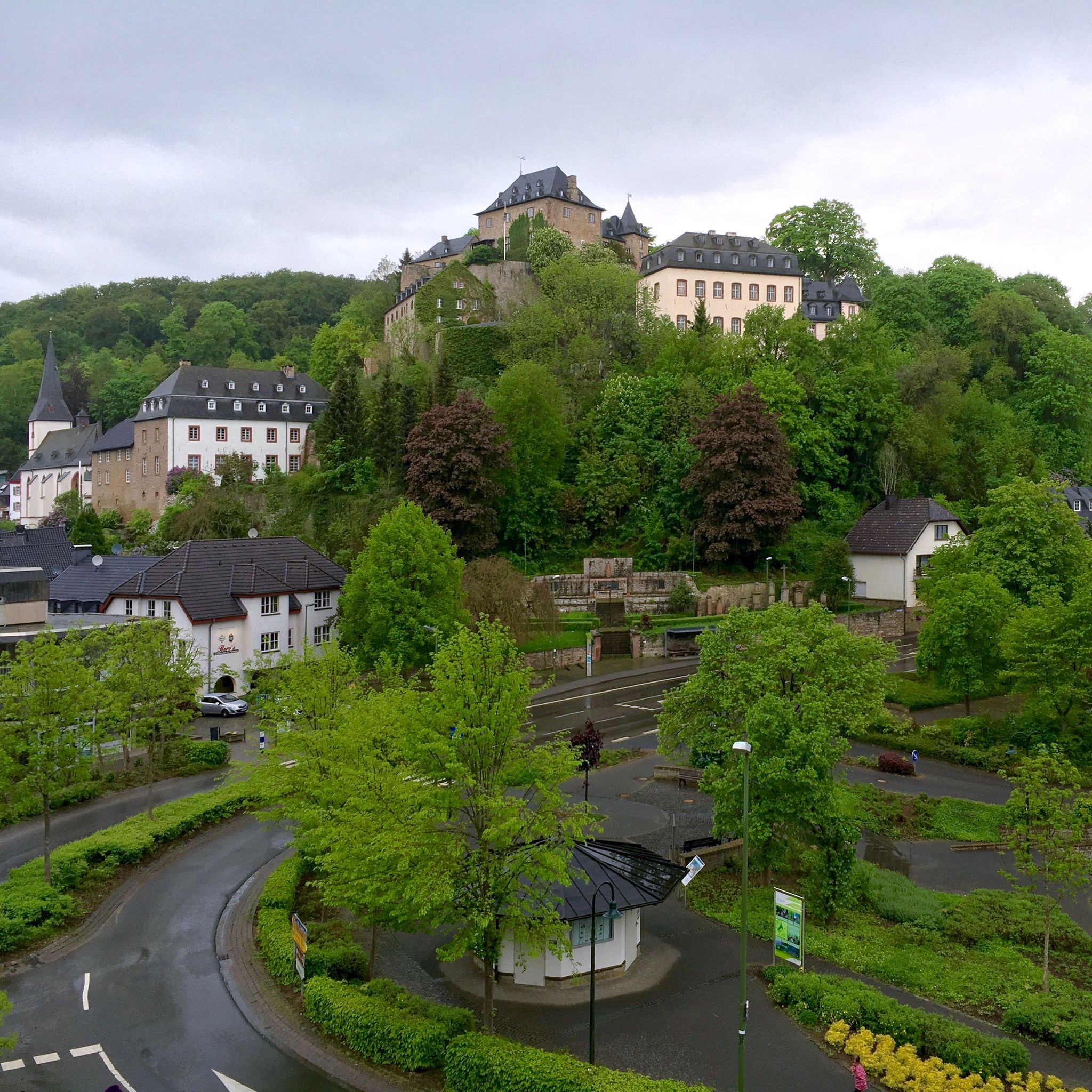
Hiking around Blankenheim
Cycling around Blankenheim
MTB Trails around Blankenheim
Road Cycling Routes around Blankenheim
Running Trails around Blankenheim

Gravel biking around Blankenheim
Other adventures around Blankenheim


Tips from the Community

One of the pictures only shows the ford here. On our visit in September 2026, a new bridge has been built next to the ford. (the old foundations are still visible in the photo).
0
0

Stable bridge that allows us to cross the Ahbach safely.
2
0


endless expanse
0
0

This is Emma: ART am WEG Kronenburg, Station 21
0
1

There is a bridge nowadays.
4
0
Frequently Asked Questions
What kind of terrain can I expect on mountaineering routes around Blankenheim?
The Blankenheim region, nestled in the Eifel, offers diverse terrain for robust hillwalking rather than technical mountaineering. You'll find rolling hills, dense deciduous forests, expansive meadows, and idyllic valleys. Picturesque waterways, including the source of the Ahr River, are common features. Routes often include challenging climbs that provide breathtaking views over the Eifel landscape.
Are there any circular mountaineering routes available in Blankenheim?
Yes, several routes are designed as loops. For example, the Dreimühlen Waterfall – Nohner Mill Café loop from Üxheim is an easy 3.4-mile (5.5 km) circular trail. Another option is the moderate Entrance to Steinfeld Abbey – Steinfeld Monastery Wall Trail loop from NSG Kallbach und Rotzbach, covering 7.2 miles (11.6 km).
What historical or natural landmarks can I see along the routes?
Many routes pass by significant landmarks. You can explore the medieval Ruins of Kronenburg Castle on a 2.8-mile loop. The region is also home to unique geological features like the Kakus Cave and Kartstein Cliffs, which can be explored via routes from the Caves around Blankenheim guide. The famous Dreimühlen Waterfall is a highlight on its namesake loop trail.
Are there any family-friendly mountaineering options in Blankenheim?
Yes, there are several easier routes suitable for families. The Dreimühlen Waterfall – Nohner Mill Café loop from Üxheim is an easy 3.4-mile trail that takes about 1 hour 31 minutes. Another easy option is the Ruins of Kronenburg Castle loop from NSG Honertseifen und Heinborn, which is 2.8 miles long and takes around 1 hour 18 minutes.
What is the best time of year for mountaineering in Blankenheim?
The Eifel region around Blankenheim is enjoyable throughout much of the year. Spring and autumn offer pleasant temperatures and vibrant scenery with blooming flowers or colorful foliage. Summer is also suitable, especially for shaded forest paths. While winter can bring snow, making some routes more challenging, it also offers a unique, tranquil experience. Always check local weather conditions before heading out.
Are there any routes that feature water attractions like waterfalls or lakes?
Absolutely. The Dreimühlen Waterfall – Nohner Mill Café loop from Üxheim leads directly to the unique Dreimühlen Waterfall. Beyond specific routes, the region boasts lakes like Schwanenweiher and Lake Freilingen, which offer various water activities and scenic views, often accessible via nearby trails.
What do other mountaineers say about the routes in Blankenheim?
The mountaineering routes around Blankenheim are highly rated by the komoot community, with an average score of 5.0 stars. Users often praise the varied terrain, the scenic beauty of the Eifel landscape, and the well-maintained paths that cater to different ability levels.
Are there any long-distance trails that pass through or start near Blankenheim?
Yes, Blankenheim is an excellent starting point for sections of renowned long-distance trails. The Eifelsteig, a 313 km trail, passes directly through the town. Additionally, the Ahrsteig trail begins at the source of the Ahr River in Blankenheim and follows the river for 100 km, offering extensive opportunities for multi-day hikes.
Where can I find parking for mountaineering trailheads in Blankenheim?
Parking is generally available near popular trailheads and in the town of Blankenheim itself. Specific parking information for individual routes can often be found on the detailed route pages on komoot. For broader information on parking in the municipality, you might consult the local tourism office, such as Nordeifel Tourismus.
Are there any cafes or pubs near the mountaineering routes in Blankenheim?
Yes, you'll find options for refreshments. The Dreimühlen Waterfall – Nohner Mill Café loop from Üxheim, for instance, includes the Nohner Mill Café. Blankenheim town center also offers various cafes and pubs. For specific locations, you can check the Old Bakehouse Bolsdorf, listed as a cafe highlight.
What is the difficulty level of mountaineering routes in Blankenheim?
The routes around Blankenheim cater to a range of abilities. You'll find easy trails suitable for beginners or families, such as the Dahlem Moor Boardwalk – Heiden-Kopf II loop from Dahlem (Eifel). There are also moderate routes that offer more challenging ascents and longer distances, like the Schafbachtal Shelter – Schafbachtal loop from NSG Schaafbachtal mit Seitentälern und Stromberg. Currently, there are no routes classified as difficult, making it ideal for robust hillwalking.
Most popular routes around Blankenheim
Most popular attractions around Blankenheim

Get inspired with the komoot mobile app


Explore more
Browse the best Mountain Hikes & Routes in other regions.
