The best mountain hikes in Kalltal Und Nebentaeler
4.2
(16)
27
hikers
6
hikes
Mountaineering routes in Kalltal Und Nebentaeler traverse a landscape characterized by the Kall river and its numerous side valleys, featuring varied topography. The region includes alder riparian forests along riverbanks and wet grasslands, contributing to its natural character. While not alpine, the terrain offers significant elevation changes, providing opportunities for strenuous hiking and trekking. These routes are set within a designated nature reserve in North Rhine-Westphalia, Germany.
Best mountaineering routes in Kalltal Und Nebentaeler
- The most popular mountaineering route is…
Last updated: July 2, 2026
1
hikers
Moderate mountaineering route. Good fitness required. Easily-accessible paths. Suitable for all skill levels.
1
hikers
Moderate mountaineering route. Good fitness required. Easily-accessible paths. Suitable for all skill levels.

Sign up for free
3.0
(1)
2
hikers
4.16km
01:13
110m
110m
Easy mountaineering route. Great for any fitness level. Easily-accessible paths. Suitable for all skill levels.
5.0
(1)
4
hikers
8.25km
02:27
230m
230m
Moderate mountaineering route. Good fitness required. Mostly accessible paths. Sure-footedness required.
1
hikers
9.80km
02:41
150m
150m
Moderate mountaineering route. Good fitness required. Easily-accessible paths. Suitable for all skill levels.
Our route recommendations are based on thousands of hikes, rides, and runs completed by other people on komoot.
Start today with a free account
Your next adventure awaits.
Login or Signup
Popular around Kalltal Und Nebentaeler
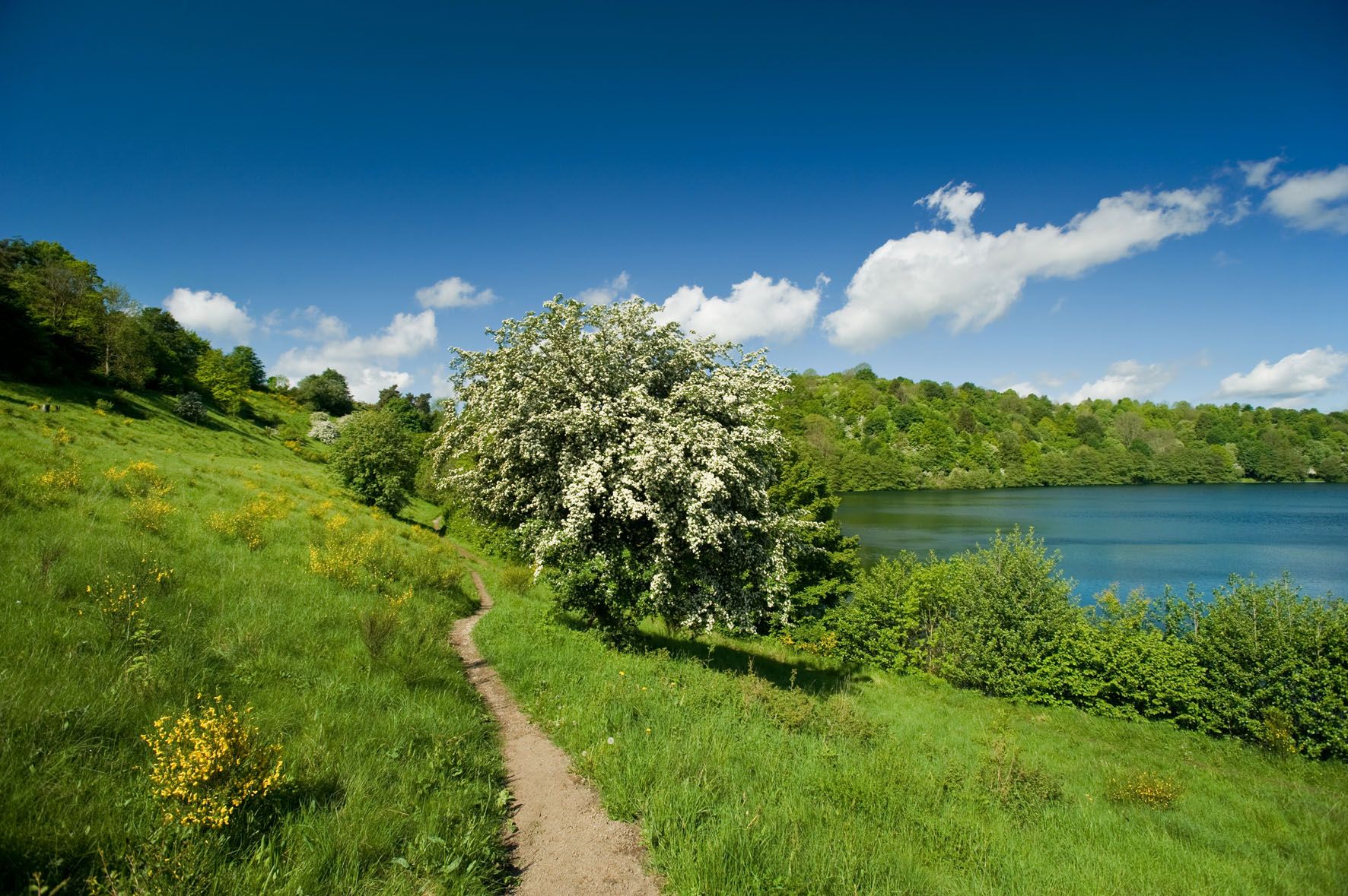
A long trail weekend in the Northern Eifel
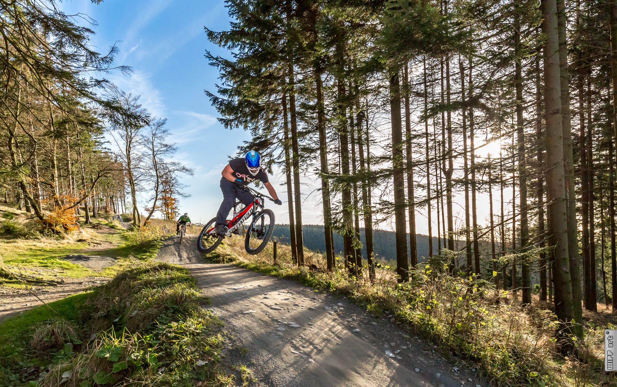
Bike parks in Western Germany
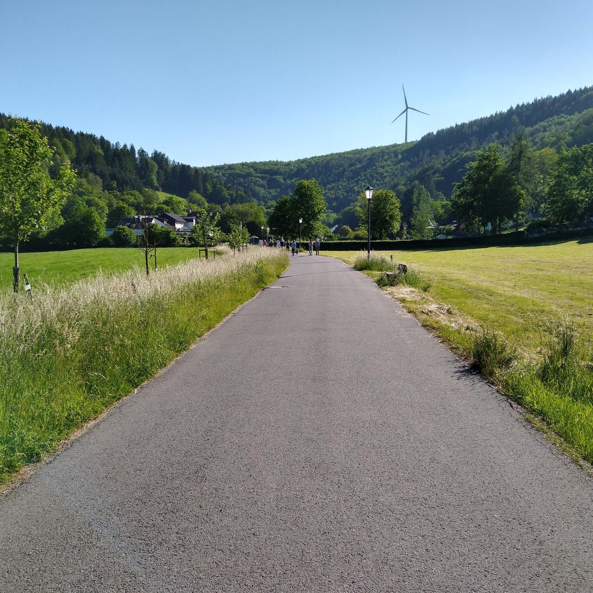
Hiking in Kalltal Und Nebentaeler
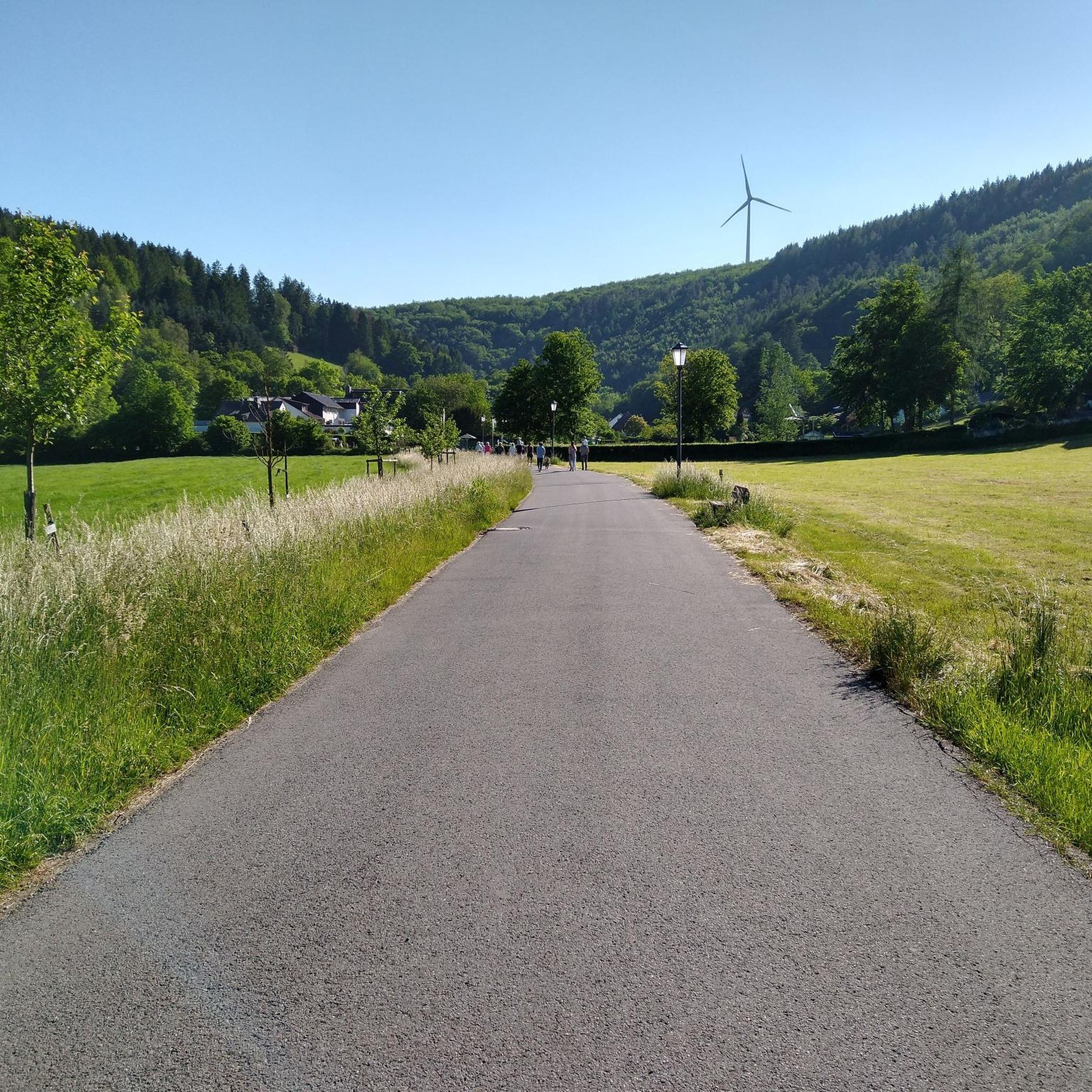
MTB Trails in Kalltal Und Nebentaeler
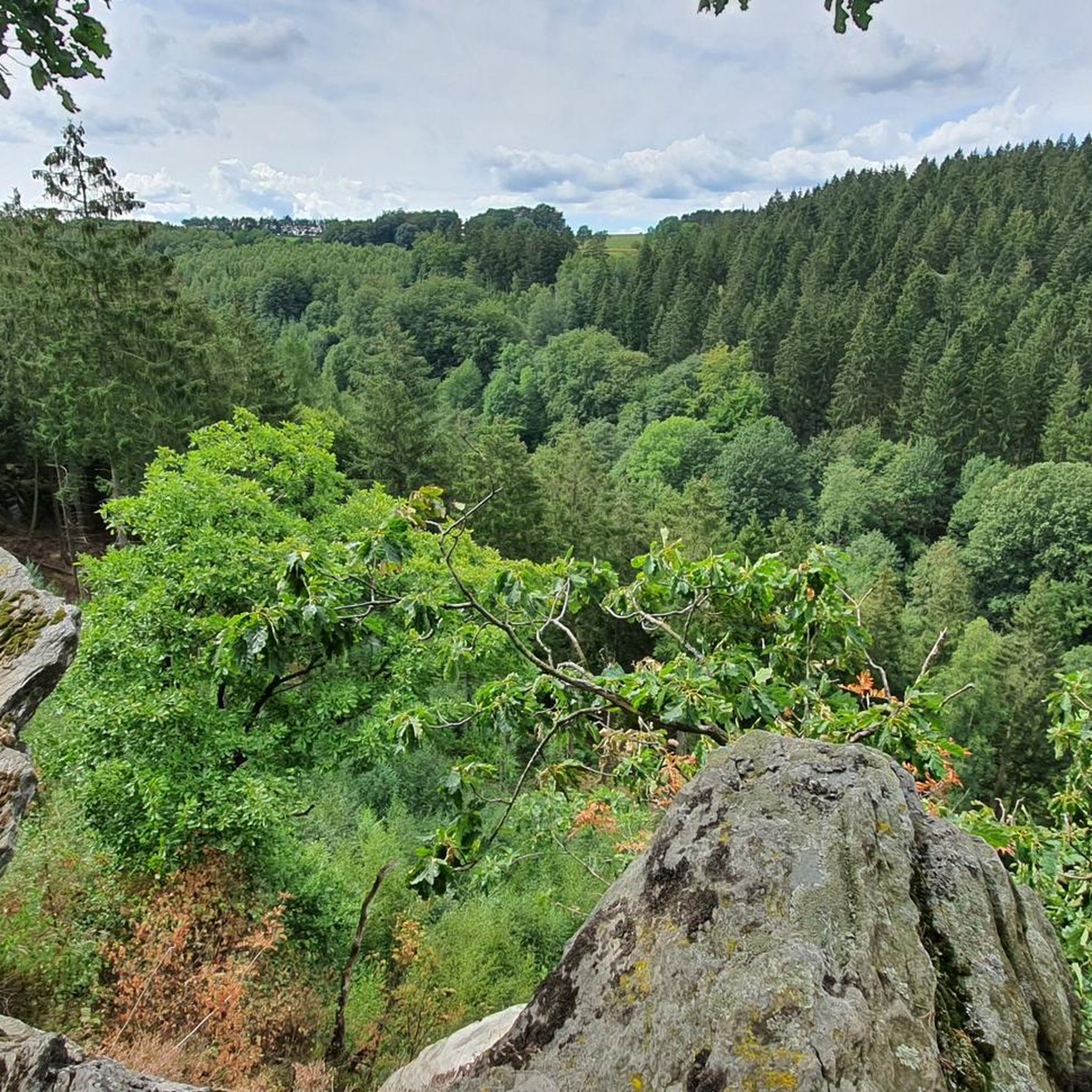
Cycling in Kalltal Und Nebentaeler
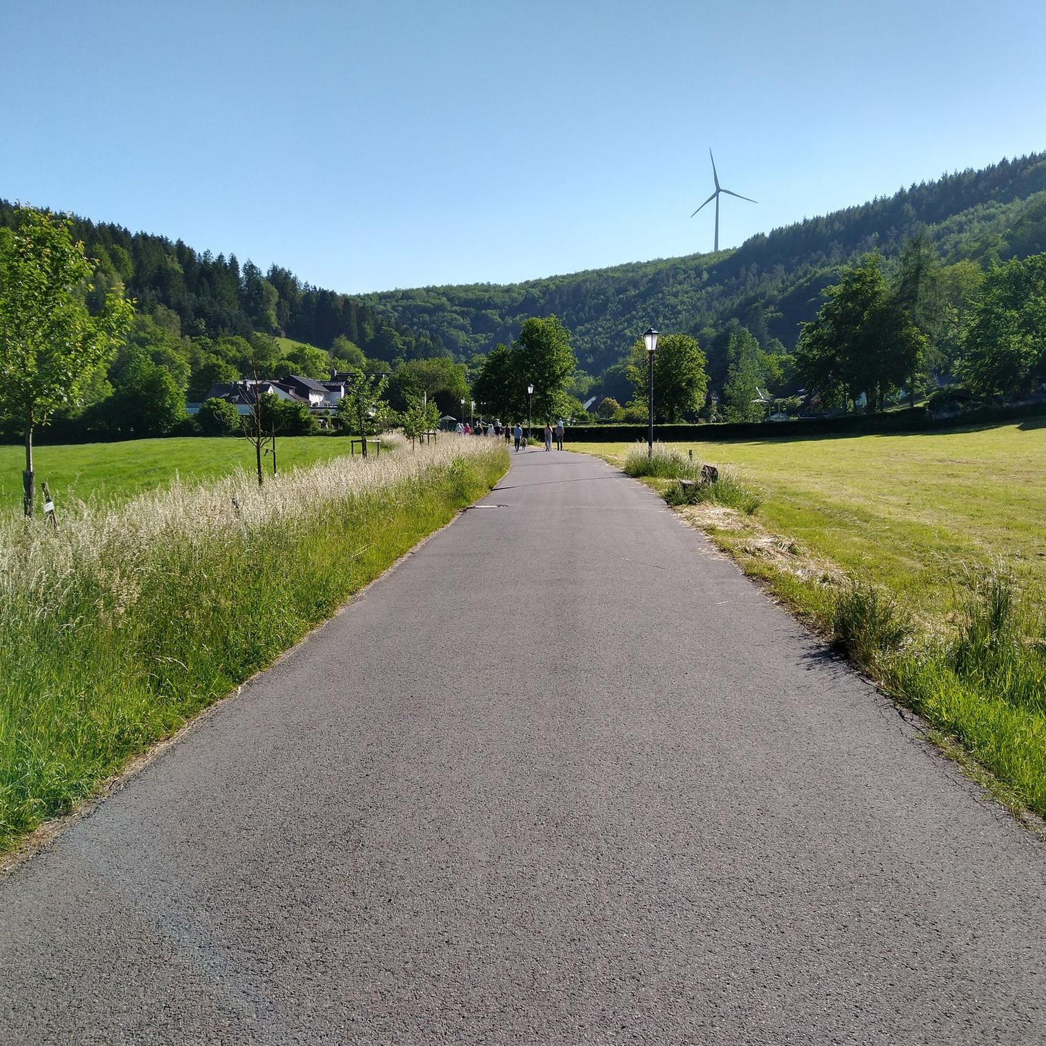
Road Cycling Routes in Kalltal Und Nebentaeler
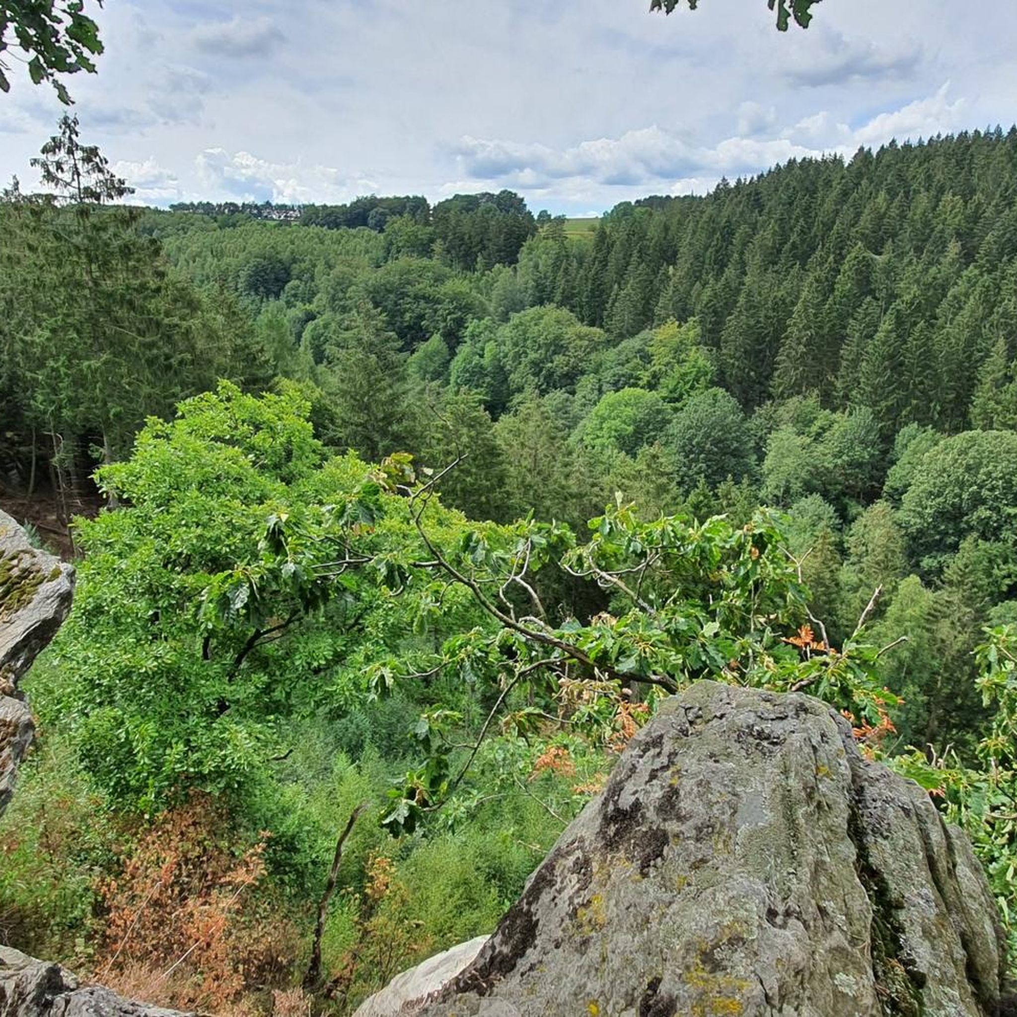
Running Trails in Kalltal Und Nebentaeler
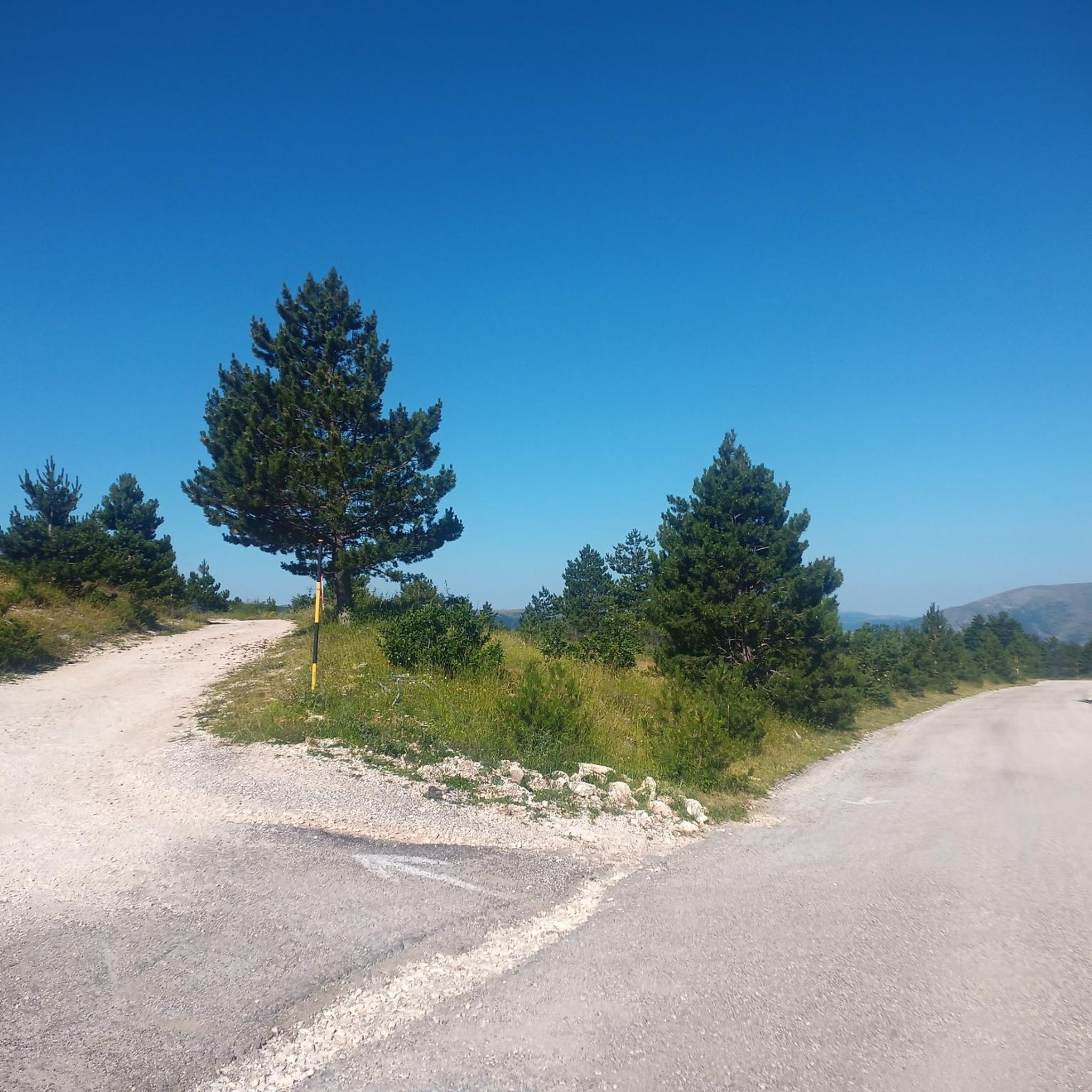
Gravel biking in Kalltal Und Nebentaeler
Other adventures in Kalltal Und Nebentaeler

Tips from the Community

Hi 👋😊 This highlight is located in the Eifel National Park. To protect sensitive species, there are special rules here: Stay on official paths, keep dogs on a leash, take your trash back with you, and cycle/MTB only on designated paths. Smoking and fires are taboo – wildfire risk🔥! Thanks for your understanding! 💚 Further information can be found at www.nationalpark-eifel.de. We wish you a great time in the emerging wilderness!
1
0


This route offers room for variations....
0
0


Directly at the power plant and parking lot.
0
0

Great view of the lake
0
0

Beautifully situated rest area at the Hesselbach, which invites us to take a short break.
2
0

Great view of the Eifel and you can usually enjoy it alone...
0
0
Frequently Asked Questions
How many mountaineering routes are available in Kalltal Und Nebentaeler?
You'll find a selection of routes in Kalltal Und Nebentaeler, with komoot listing 7 dedicated mountaineering tours. These range from easy walks to more challenging ascents, offering diverse experiences within the region's natural landscape.
What kind of terrain and difficulty can I expect on mountaineering routes in Kalltal Und Nebentaeler?
The region offers varied terrain, from moderate ascents to more strenuous paths. While not alpine, some routes feature significant elevation changes, providing demanding trekking opportunities. For instance, the Eugenienstein – Mausauel Rur Bridge loop from Nideggen is a moderate route with over 400 meters of elevation gain, while the Heimbach Reservoir loop from Rur Dam offers a gentler experience around the reservoir.
Are there family-friendly mountaineering routes in Kalltal Und Nebentaeler?
Yes, Kalltal Und Nebentaeler offers accessible paths suitable for various skill levels, including options for families. The Heimbach Reservoir loop from Rur Dam is an easy route with gentle gradients, perfect for a shorter outing with children.
What historical landmarks or natural features can I see along the routes?
The region is rich in both natural beauty and historical significance. You can explore sites like Simonskall, an officially recognized recreational area with remnants of the former Westwall. Nature enthusiasts might enjoy the Geological saddle at Teufelsley in the Kall Valley or scenic viewpoints like the View of the Hürtgen Forest and the Lambach Pump.
Are there any circular mountaineering routes in the area?
Yes, many routes in Kalltal Und Nebentaeler are designed as loops, allowing you to start and end at the same point. The Taucherbucht loop from Senkelbachquellen is a popular moderate circular route, offering varied forest terrain over 11 kilometers.
What do other mountaineers enjoy most about Kalltal Und Nebentaeler?
The area is highly rated by the komoot community, with an average score of 4.2 stars. Reviewers often praise the unspoiled natural beauty, the varied topography of the side valleys, and the extensive network of trails that cater to different fitness levels.
Are dogs allowed on the mountaineering trails?
While specific regulations can vary, generally, dogs are welcome on trails in nature reserves like Kalltal Und Nebentäler, provided they are kept on a leash and owners clean up after them. It's always advisable to check local signage for any specific restrictions on certain paths.
What are some less crowded mountaineering routes in Kalltal Und Nebentaeler?
To find less crowded routes, consider exploring some of the longer or slightly more challenging options away from the most popular spots. The Picnic Area at the Hesselbach – View of Rursee from Kierberg loop from Strauch offers a substantial 11.8-kilometer journey through diverse landscapes, which might provide a more secluded experience.
What is the best time of year to go mountaineering in Kalltal Und Nebentaeler?
The region is beautiful year-round, but spring and autumn generally offer the most pleasant conditions for mountaineering, with mild temperatures and vibrant foliage. Summer can also be excellent, especially in the shaded alder riparian forests along the Kall river. Winter hiking is possible, but some paths might be muddy or icy, requiring appropriate gear.
Are there any viewpoints or scenic spots along the routes?
Yes, the varied topography and river valleys provide several scenic spots. You can find beautiful vistas such as the View of the Kall Valley from the Vossenack bench. Many routes also traverse picturesque alder riparian forests and wet grasslands, offering serene natural views.
How long do the mountaineering routes typically take to complete?
The duration varies significantly depending on the route's length and difficulty. Shorter, easier routes like the Heimbach Reservoir loop from Rur Dam can be completed in under 2 hours. More moderate routes, such as the Nideggen Old Town – Nideggen Castle loop from Nideggen, typically take around 4 hours.
Most popular routes in Kalltal Und Nebentaeler
Most popular attractions in Kalltal Und Nebentaeler

Get inspired with the komoot mobile app


Explore more
Browse the best Mountain Hikes & Routes in other regions.
