The best walks and hikes around Padornelo
4.5
(17)
94
hikers
6
hikes
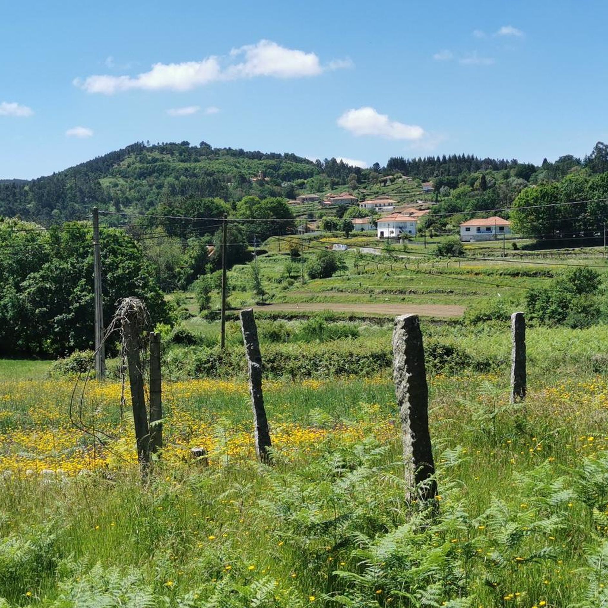
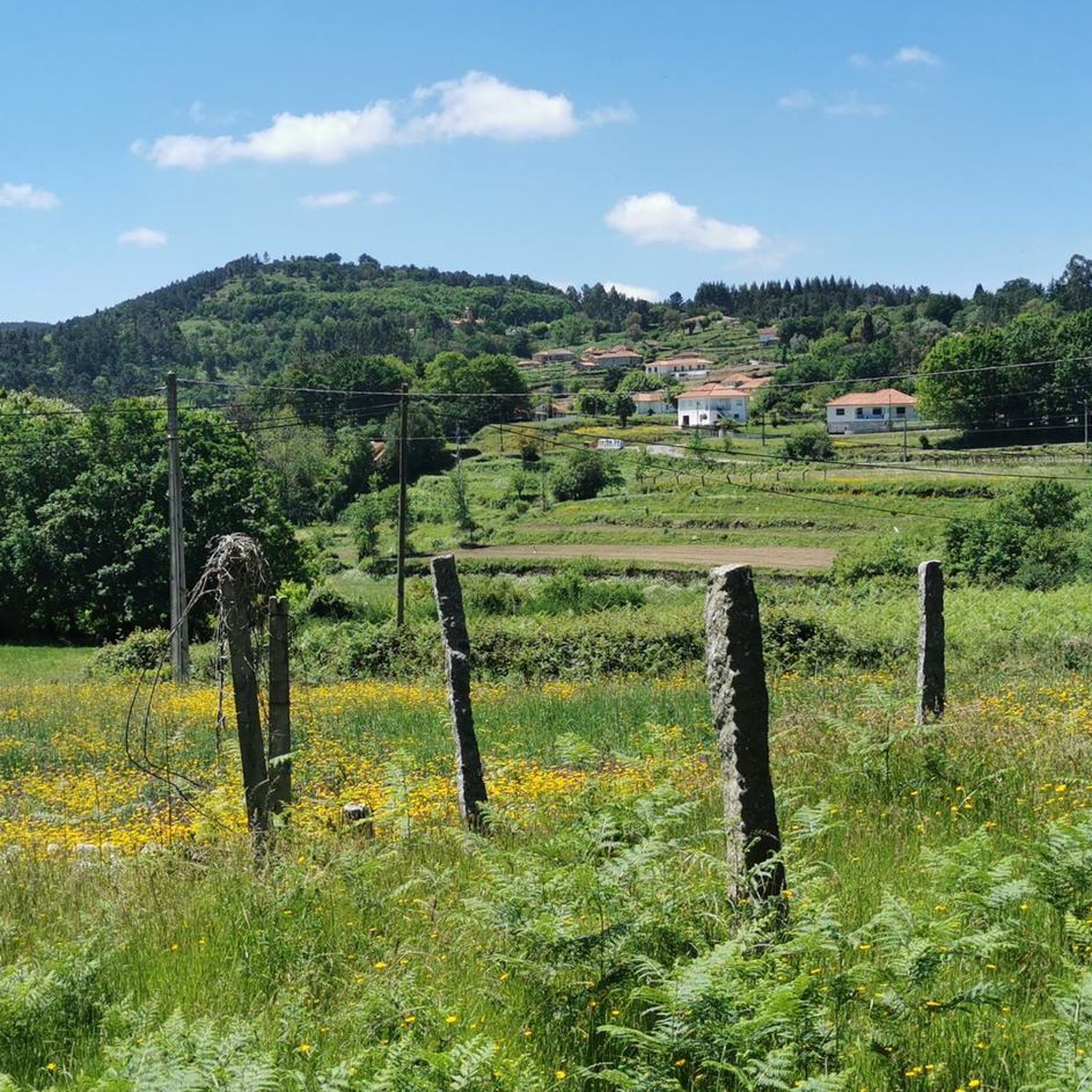
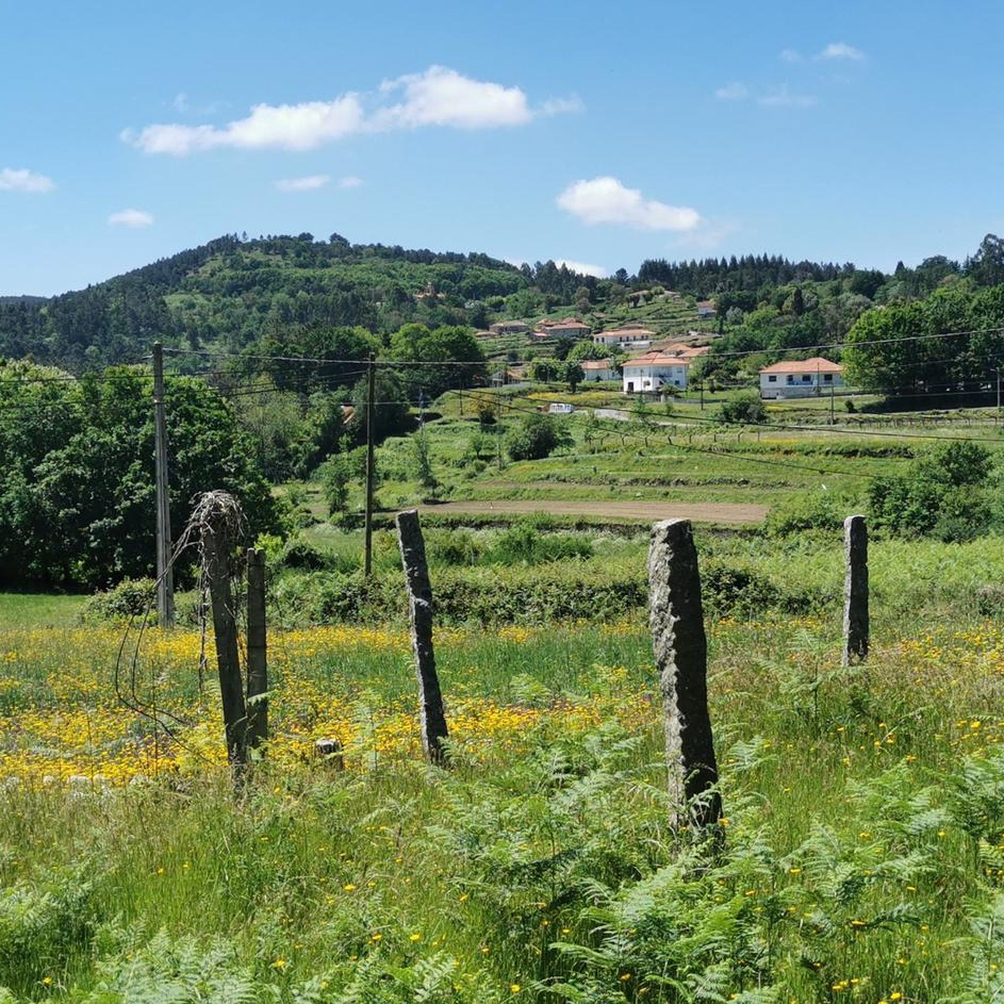
Hiking around Padornelo, located in Alta Sanabria, Zamora, Spain, offers trails through extensive forests of oaks and heather. The region is situated at an elevation of 1,325 meters above sea level, featuring varied terrain with some steep climbs. Natural features include hills and valleys, providing diverse landscapes for outdoor activities.
Best hiking trails around Padornelo
- The most popular hiking route is Ecovia do Rio Vez to Sistelo loop from Cabreiro, a 7.3 miles (11.7 km) trail that takes 3…
Last updated: August 21, 2026
4.8
(11)
64
hikers
11.6km
03:11
180m
180m
Moderate hike. Good fitness required. Easily-accessible paths. Suitable for all skill levels.
4.0
(4)
9
hikers
6.47km
01:53
170m
170m
Easy hike. Great for any fitness level. Easily-accessible paths. Suitable for all skill levels.

Sign up for free
4.0
(1)
8
hikers
4.74km
01:20
90m
100m
Easy hike. Great for any fitness level. Easily-accessible paths. Suitable for all skill levels.
5.0
(1)
8
hikers
8.46km
02:32
270m
270m
Moderate hike. Good fitness required. Easily-accessible paths. Suitable for all skill levels.
5
hikers
9.12km
02:25
90m
90m
Moderate hike. Good fitness required. Easily-accessible paths. Suitable for all skill levels.
Our route recommendations are based on thousands of hikes, rides, and runs completed by other people on komoot.
Start today with a free account
Your next adventure awaits.
Login or Signup

Tips from the Community

Fantastic area for cycling or walking
1
0

The weather was changeable, and the waterfall didn't have much water after the drought. It must be breathtaking in spring. The hike was varied and easy to moderate.
0
0


The Medieval Bridge of Vilela crosses the Vez River and is said to have already existed in 1258 (23rd century). It has 2 arches, one of them broken, of unequal size.
1
0
Located north of the municipality of Arcos de Valdevez, this village is one of the oldest in Alto Minho and is a pearl of nature enclosed in a valley at the gates of Parque Peneda Gerês, very close to the source of the river Vez. Sistelo is an example of Man's ability to adapt to the singularities and adversities of nature, transforming it to suit his needs and simultaneously creating a picture of rare beauty that are the terraces.
2
0
Whether going up or down, due to the type of surface, this small trail seems impossible to do on a bike, whether it's a mountain bike or not. The alternative is to take the bike by hand. The effort is rewarded by the feeling of walking along a path that locals have walked for decades without having altered or paved it.
2
0

Sistelo, a beautiful town with places to eat and heritage surroundings
1
0
Small but beautiful town, with places to eat and a spectacular setting with the terraces in the crops
1
0
Frequently Asked Questions
What kind of terrain can I expect on hiking trails around Padornelo?
Hiking around Padornelo offers diverse terrain, characterized by extensive forests of oaks and heather. You'll encounter varied elevation changes, including some steep climbs exceeding 400 meters, leading to summits with panoramic views. The landscape features hills and valleys, providing a rich natural setting for exploration.
Are there any easy hiking routes suitable for beginners in Padornelo?
Yes, Padornelo offers several easy hiking options. For instance, the Waterfall in Corno do Bico loop from Paredes de Coura is an easy 2.9-mile (4.7 km) trail through forested areas, typically completed in about 1 hour 20 minutes with minimal elevation gain. Another easy option is the Cascata das Lajes Altas loop from Paredes de Coura, which is 4 miles (6.5 km) long.
What are some notable natural features or landmarks to see while hiking in Padornelo?
The region is rich in natural beauty and interesting landmarks. You can discover waterfalls like the Waterfall and Cascades of the Rio Couro or the Cascata de Vilarinho. Hikers can also explore the Castelo das Furnas, a natural monument, or enjoy views from the Alto da Portela Grande de Labruja viewpoint. The Corno de Bico Summit (883 m) also offers impressive vistas.
Are there any circular hiking routes around Padornelo?
Yes, many trails in the area are circular, allowing you to start and end at the same point. A popular moderate option is the Ecovia do Rio Vez to Sistelo loop from Cabreiro, which is 7.3 miles (11.7 km) long. Another excellent loop is the Chapel Among the Rocks loop from Abedim, a moderate 5.3-mile (8.5 km) path with significant ascents.
What is the best time of year to go hiking in Padornelo?
Padornelo offers unique experiences throughout the year. Spring and summer are ideal for enjoying the lush forests and panoramic views. Autumn is particularly popular for mushroom hunting after the rains. During winter, the landscape transforms with significant snowfalls, sometimes over 1.5 meters deep, creating a robust and unique snowy environment for those seeking a winter adventure.
What do other hikers enjoy most about the trails in Padornelo?
The trails in Padornelo are highly rated by the komoot community, with an average score of 4.5 stars. Hikers often praise the immersive natural setting provided by the extensive oak and heather forests, the varied terrain with rewarding climbs, and the breathtaking panoramic views from the summits.
Are the hiking trails around Padornelo suitable for families with children?
While some trails feature steep climbs, there are also easier options that can be suitable for families. The Waterfall in Corno do Bico loop from Paredes de Coura is an easy, shorter route through forested areas that might be enjoyable for families. Always check the route's distance and elevation gain to ensure it matches your family's ability.
Are dogs allowed on the hiking trails in Padornelo?
Generally, dogs are welcome on hiking trails in natural areas like Padornelo. However, it's always recommended to keep your dog on a leash, especially in areas with wildlife or near livestock, and to follow local regulations regarding pet access. Ensure you carry water for your dog and clean up after them.
What is the typical elevation gain on hikes in Padornelo?
The elevation gain varies significantly across trails in Padornelo. While some easy routes like the Vilarinho Medieval Bridge loop from Aguiã have a modest gain of about 87 meters (285 feet), others feature more substantial ascents. For example, the Chapel Among the Rocks loop from Abedim includes an elevation gain of 265 meters (870 feet), offering a more challenging climb.
Is there public transport available to reach hiking trailheads near Padornelo?
Information on specific public transport routes directly to every trailhead is limited. Padornelo is a small village in Alta Sanabria, and public transport options might be infrequent. It is advisable to check local bus schedules or consider driving to trailheads, especially for routes starting further from the village center.
Where can I park when visiting hiking trails in Padornelo?
While specific parking areas for each trailhead are not detailed, in smaller villages like Padornelo, parking is often available in or near the village center, or at designated points close to popular trail starting points. It's recommended to look for suitable parking spots upon arrival, ensuring you do not obstruct local access or private property.
Most popular routes around Padornelo
Most popular attractions around Padornelo

Get inspired with the komoot mobile app


Explore more
Browse the best Hikes in other regions.
