The best running trails around Arneiro Das Milhariças
4.0
(2)
26
runners
7
runs
Jogging around Arneiro Das Milhariças offers diverse landscapes and natural features, making it an engaging region for outdoor activities. The area is characterized by varied terrain, including sandy lands and areas around river springs like the Alviela, providing a mix of running surfaces. Well-maintained trails, often shared with hikers and cyclists, offer structured routes through the local environment. These paths provide opportunities to explore the region's natural beauty and scenic spots.
Best jogging routes around Arneiro Das Milhariças
- The most…
Last updated: June 27, 2026
3.0
(1)
6
runners
11.3km
01:21
130m
130m
Moderate run. Good fitness required. Mostly paved surfaces. Suitable for all skill levels.
7
runners
14.6km
01:36
160m
160m
Moderate run. Good fitness required. Mostly paved surfaces. Suitable for all skill levels.

Sign up for free
5
runners
10.7km
01:07
70m
70m
Moderate run. Good fitness required. Mostly paved surfaces. Suitable for all skill levels.
3
runners
8.11km
00:51
100m
100m
Moderate run. Good fitness required. Mostly paved surfaces. Suitable for all skill levels.
3
runners
17.3km
02:07
430m
430m
Hard run. Very good fitness required. Mostly paved surfaces. Suitable for all skill levels.
Get access to more routes and recommendations from other explorers.
Sign up for free
Already have an account?
Our route recommendations are based on thousands of hikes, rides, and runs completed by other people on komoot.
Start today with a free account
Your next adventure awaits.
Login or Signup
Tips from the Community

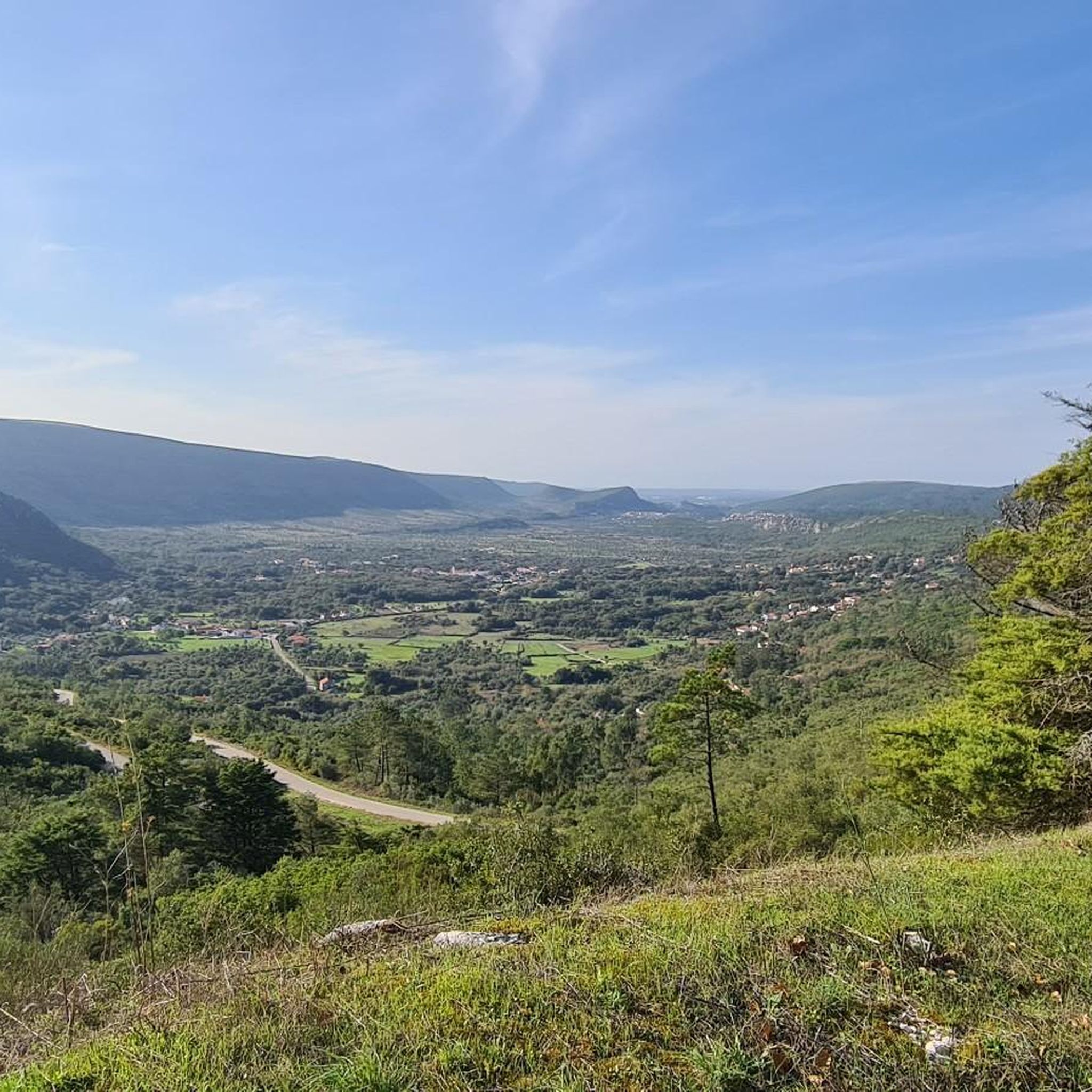
Near the top of Cabeça Gorda, this viewpoint overlooks the Mira de Aire lagoons and the small town below. Here, a picnic area invites you to take a break: whether to stretch your legs in the sun or take shelter in the shade, depending on your body and the moment.
1
0

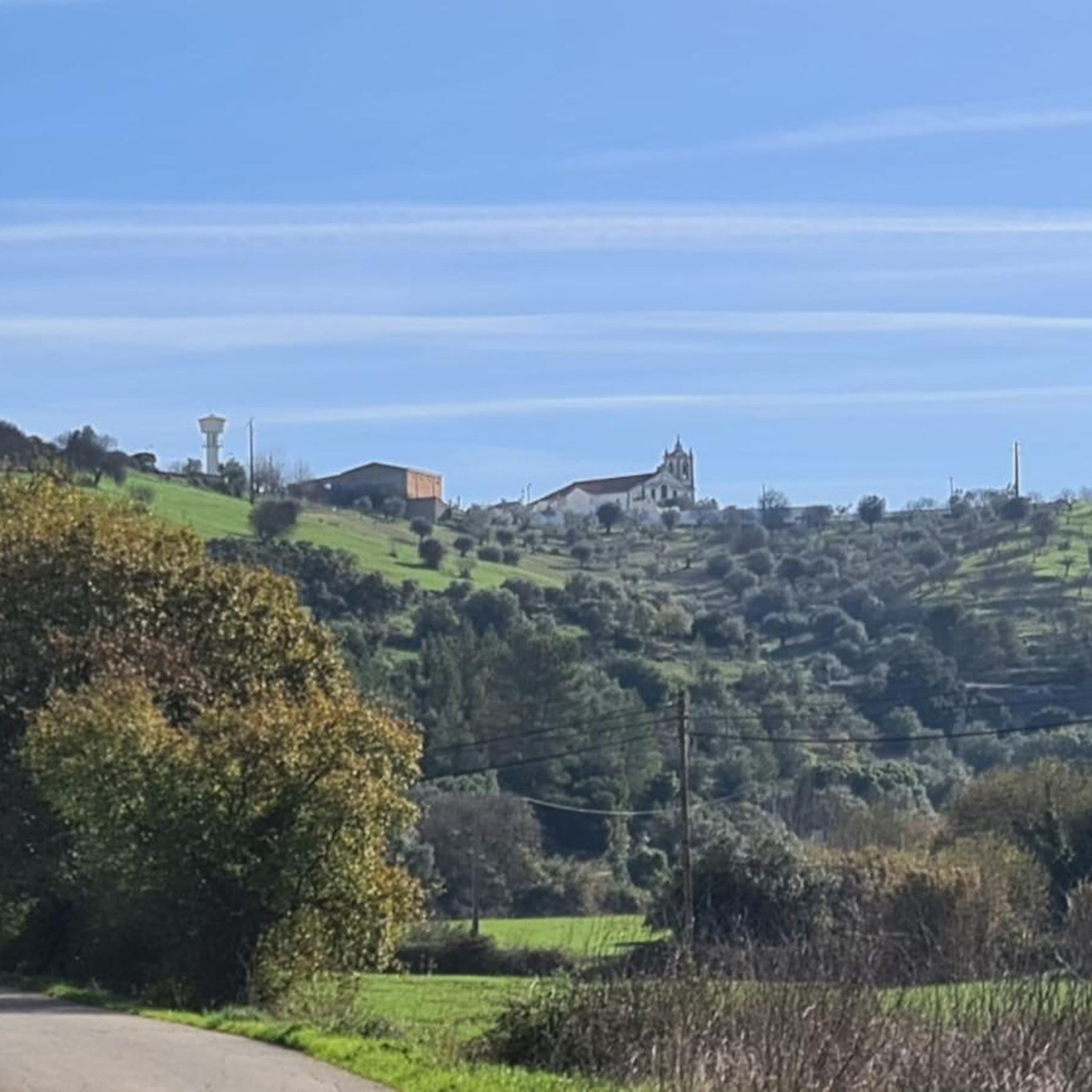
After the bridge, a small river beach. A pearl on the banks of the Alviela.
2
0
Frequently Asked Questions
How many running routes are available in Arneiro Das Milhariças?
There are 7 dedicated running routes around Arneiro Das Milhariças listed on komoot. These trails offer a variety of experiences for runners exploring the region.
What are the difficulty levels of the running trails in Arneiro Das Milhariças?
The running trails in Arneiro Das Milhariças are primarily categorized as moderate and difficult. There are 5 moderate routes and 2 difficult routes, offering challenges for experienced runners.
Are there any circular running routes in Arneiro Das Milhariças?
Yes, many of the running paths in Arneiro Das Milhariças are circular, allowing you to start and finish at the same point. For example, the Ponte de Pedra loop from Amiais de Baixo is a popular circular option, as is the Ponte de Pedra loop from Alcanena.
What do other runners say about the trails in Arneiro Das Milhariças?
The running routes in Arneiro Das Milhariças are highly rated by the komoot community, with an average score of 4.0 stars from over 2 reviews. More than 25 runners have used komoot to explore the varied terrain, often praising the diverse landscapes and scenic spots.
Are there any viewpoints along the running trails in Arneiro Das Milhariças?
Yes, the region is known for its 'stunning views,' especially on sunny days. One route, the Cabeça Gorda Viewpoint loop from Alcanena, specifically highlights a viewpoint, offering panoramic vistas during your run.
Can I bring my dog on the running trails in Arneiro Das Milhariças?
While specific regulations for dogs on every trail aren't always listed, many outdoor trails in Portugal are dog-friendly, especially if your dog is well-behaved and kept on a leash. It's always a good idea to check local signage or park rules for specific routes before heading out with your canine companion.
Are there any natural attractions or landmarks to see while running?
Absolutely! The area boasts several interesting natural and historical features. You might encounter the Peão Fountain - Monsanto, a historic natural monument, or run near the Source of the Alviela River (Olhos de Água), a prominent natural attraction. The region's 'Arneiro' name also hints at its unique 'thin and sandy lands' geology.
Are there any facilities like changing rooms or toilets near the running routes?
The Alcanena MTB Center, located near the Alviela Spring, features five signposted circuits that are also suitable for running. This center provides support structures like information panels, toilets, and changing rooms, which can be beneficial for runners using these well-maintained trails.
What kind of terrain can I expect on the running routes?
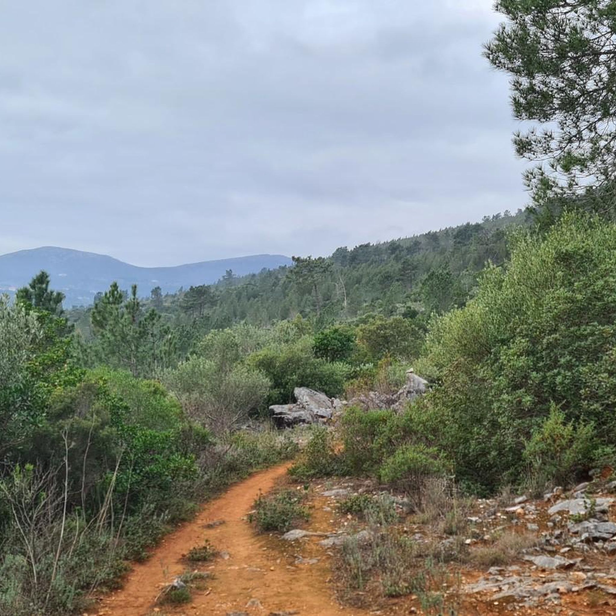
Arneiro Das Milhariças offers diverse terrain for runners. The name 'Arneiro' itself means 'thin and sandy lands,' so you can expect some sandy sections. Routes also explore areas around river springs, suggesting varied surfaces and potentially lush, riverside trails. The region's established hiking and cycling trails provide clear, well-maintained paths.
Are there any shorter running routes suitable for a quick jog?
While many routes are moderate to difficult in length, the Running loop from Alcanena is one of the shorter options at approximately 8.1 km (5 miles), taking about 50 minutes to complete. This can be a good choice for a quicker run.
What is the longest running route available in Arneiro Das Milhariças?
The longest running route listed is the Cabeça Gorda Viewpoint loop from Alcanena, which spans approximately 17.3 km (10.7 miles) and is classified as difficult. This route offers a significant challenge for long-distance runners.
Most popular routes around Arneiro Das Milhariças
Most popular attractions around Arneiro Das Milhariças

Get inspired with the komoot mobile app


Explore more
Browse the best Running Trails & Routes in other regions.
