The 20 Most Amazing Peaks in Liège
Best mountain peaks in Liège are found within a landscape characterized by the Ardennes massif and the High Fens. This region offers several notable high points significant for their elevation and natural features. Liège provides diverse outdoor experiences and unique natural environments, known for its distinctive moorland regions, forests, and rivers. The area's high points offer panoramic views and extensive hiking opportunities.
Best mountain peaks in Liège
- The most popular mountain peaks is Baltia Hill – Highest Point of Belgium, a summit that is the highest point in Belgium at 694 meters. It serves as a starting point for tours into the High Fens.
- Another must-see spot is Baraque Michel, a hut. Visitors can expect a picturesque area and a popular starting point for various outdoor activities, including hiking and cross-country skiing.
- Visitors also love Vaalserberg Three-Country Point, a man-made monument and summit. This location marks where Belgium, Germany, and the Netherlands meet, and is also the highest point in the Netherlands.
- Liège is known for high points, summits, and viewpoints. The region offers a variety of mountain peaks to see and explore, from the highest points in Belgium to significant border locations.
- The mountain peaks in Liège are appreciated by the komoot community, with more than 5300 upvotes and over 2100 photos shared by visitors.
Last updated: October 4, 2026
Vaalserberg Three-Country Point
Highlight • Monument
Translated by Google •
Tip by

Baltia Hill – Highest Point of Belgium
Highlight • Summit
Translated by Google •
Tip by

Sign up now to discover places like this
Get recommendations on the best single tracks, peaks, & plenty of other exciting outdoor places.
Baraque Michel
Highlight • Mountain Hut
Showing Translation
Tip by

Vaalserberg Climb via Route des Trois Bornes
Highlight (Segment) • Climb
Translated by Google •
Tip by

Vaalserberg Climb from the Netherlands
Highlight (Segment) • Climb
Translated by Google •
Tip by

Observation Bunker MN18 and Knuppelstock Orientation Table
Highlight • Historical Site
Translated by Google •
Tip by
Hakkenberg - 252 m
Highlight • Summit
Translated by Google •
Tip by
Signal de Botrange – Highest Point of Belgium
Highlight • Summit
Translated by Google •
Tip by

Col du Rosier East Ascent
Highlight (Segment) • Climb
Immediately after the start, the most difficult part of the ascent begins. At the bottom, the climb taps serious percentages. At the beautiful Gîte de Chevrouheid, children often play in a river when the weather is warm. You are free to turn around at the top to go under as well. Fortunately, you drive here through a beautiful forest that provides some extra cooling.
If the road goes to the left it gets a lot easier. Take a good rest here, because as soon as you reach the first houses of the village of Andrimont, the percentages go up again. Winding through the village you can make up the intermediate score. You are only two kilometers on the road and you still have half of it. If you're already having a hard time, the road is still long.
And that second half consists of a very long, slightly ascending road. You feel it is almost nothing, but you still climb around 5% here. After a lot of raking you finally reach the T-junction where the easy long runner Le Rosier from La Gleize comes out on the left and the aesthetic Le Rosier from Spa on the right.
Translated by Google •
Tip by

Steling Summit (658 m)
Highlight • Summit
Translated by Google •
Tip by
Sign up for free to discover even more peaks in Liège.
Already have an account?
Start today with a free account
Your next adventure awaits.
Popular around Liège

From Flanders to the Ardennes — GR 5 in Belgium
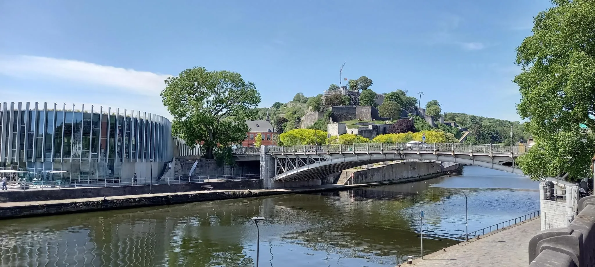
EuroVelo 3 — The adventure in the heart of Belgium
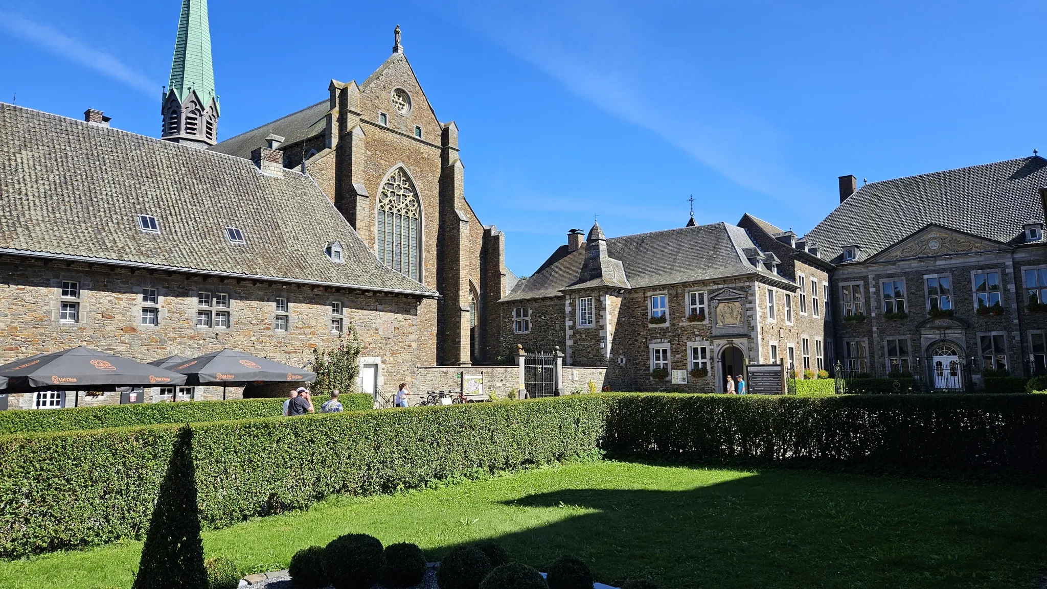
Trappist abbeys cycle route – Between beers and heritage
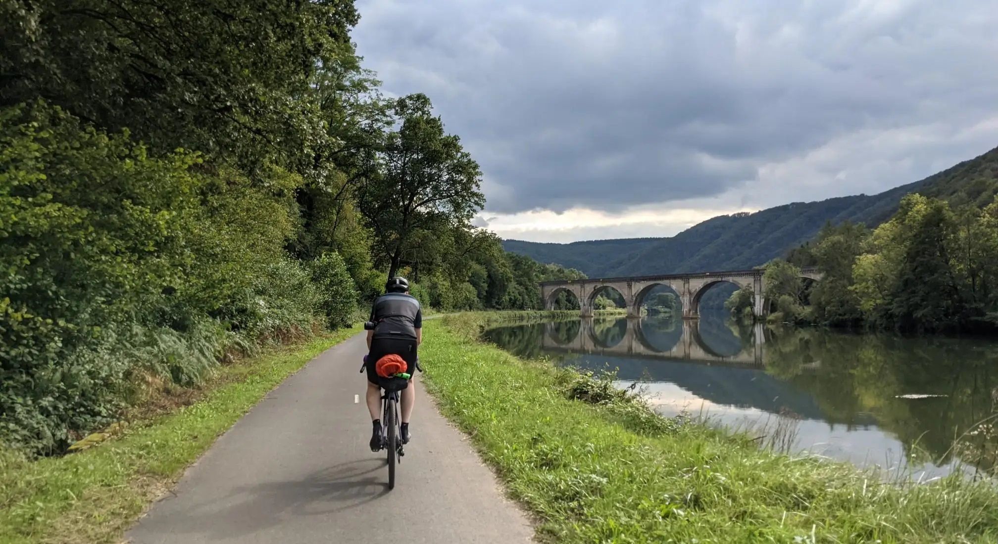
Aachen to Reims – Ardennes, Meuse and Champagne
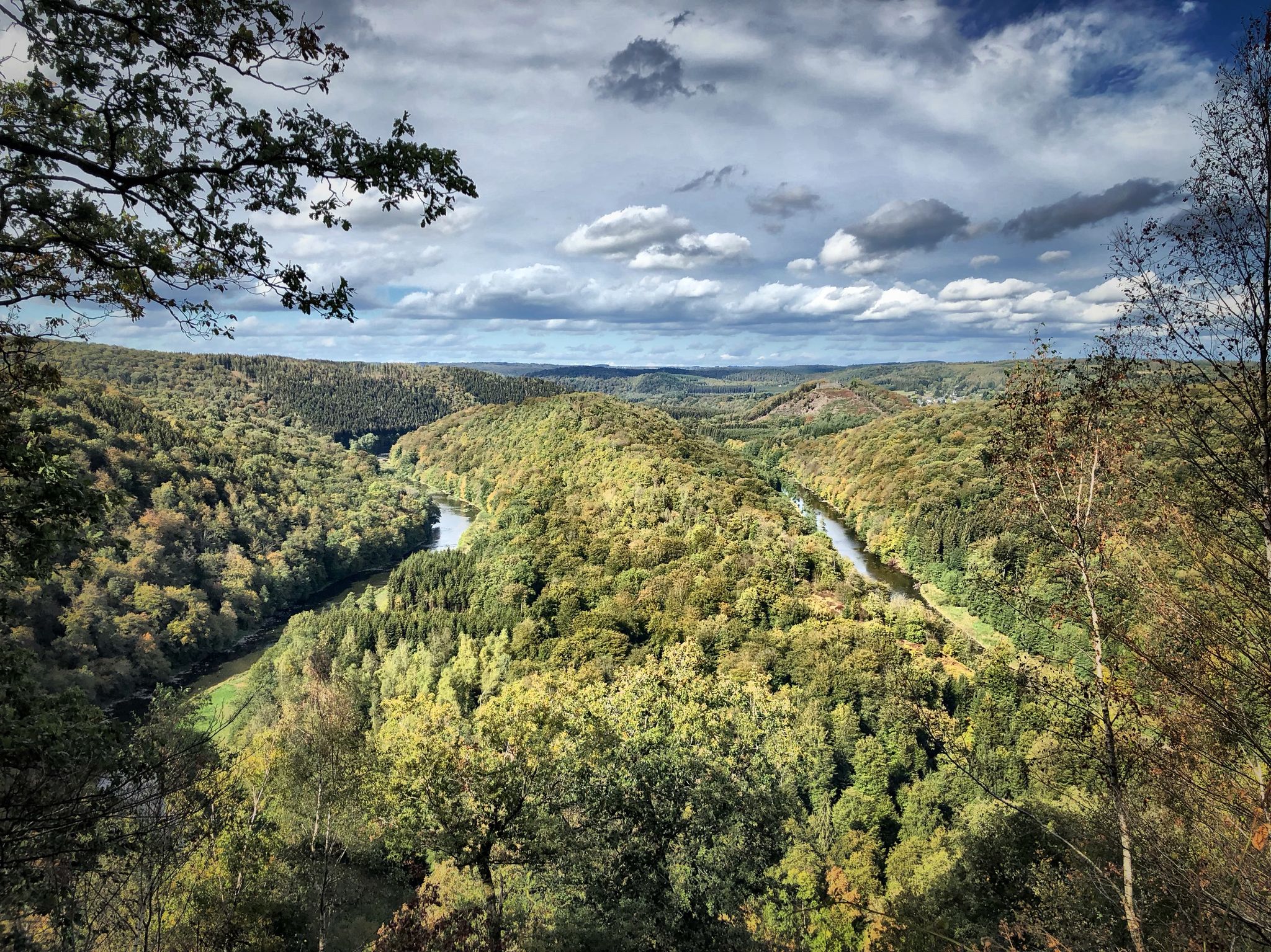
Running an ultra in Belgium – long trails in a small country
The most beautiful bike rides in Wallonia – pure nature and culture
RAVeL W7 — On the road of the Ardennes
Hardennes Gravel Tour by Resist & Ride - 700 kilometers of unpaved adventure
Crossing from east to west — Wallonia by Gravel
GR 2 from Verviers to Orval — The beautiful Ardennes in gravel
Other adventures in Liège


Tips from the Community

Beautiful quiet surroundings with dense forests, once an open plain and beautiful paths.
3
0

The MN18 Observation Bunker is part of the first line of defense of the Position Fortifiée de Liège (PFL), a network of bunkers built in the 1930s to defend Belgium against a German invasion. MN18 was the 18th bunker in the Margarins-Neufchâteau sector and equipped with an FM turret, recognizable by its tapered shape. During the German attack in May 1940, the bunker was destroyed by a 50 kg shaped charge placed on top of the turret, just where the periscope was located. The damage is still visible, making MN18 a tangible reminder of World War II. Right next to the bunker is the Knuppelstock orientation table, an impressive work of blue limestone with a diameter of 1.5 meters and weighing approximately one ton. The relief of the surrounding landscape is engraved on it based on data from the National Geographic Institute, with bronze details indicating the visible points. The table is also accessible for the visually impaired thanks to its tactile elements. The project, carried out by local organizations such as Qualité-Village-Wallonie and the municipality of Aubel, is unique in Belgium.
11
0

At this point, history and landscape converge. The MN18 observation bunker, a silent witness to the Second World War, still stands as a reminder of a turbulent period. From the bunker, you also have a unique view of the surrounding hilly landscape. Next to the bunker is the Knuppelstock orientation table, a platform that indicates the names and directions of villages, hills, and landmarks in the area. It's an ideal spot to get to know the region better and to enjoy a panoramic view of the border area between the Netherlands and Belgium.
4
0
The Hakkenberg is one of the higher points in the Limburg hills, at an altitude of 252 meters. From here, you have a beautiful view of the surrounding rolling fields, forests, and villages that reflect the character of South Limburg.
2
0

nice goal 3 countries point! coffee and on
2
0

This is called 'the climb' from the Netherlands, but this segment on Komoot is in the direction of descent. Not a big deal, but you should see it when you are creating a route.
3
0

Yes, another one that you must have done in South Limburg
3
0

The highest point in the Netherlands coincides with the three-country point and is an important tourist attraction.
21
0
Frequently Asked Questions
What are the most prominent high points in Liège province?
The most prominent high points in Liège province include Signal de Botrange – Highest Point of Belgium, which is the highest point in Belgium at 694 meters, and Baraque Michel, another significant high point in the High Fens. Additionally, the Vaalserberg Three-Country Point is notable as it marks the meeting point of Belgium, Germany, and the Netherlands, and is the highest point in the Netherlands.
Where is the highest point in Belgium located?
The highest point in Belgium is Signal de Botrange – Highest Point of Belgium, situated at 694 meters above sea level within the High Fens. It features an observation tower that allows visitors to symbolically reach an altitude of 700 meters.
Are there family-friendly mountain peaks or high points in Liège?
Yes, several high points in Liège are considered family-friendly. Signal de Botrange – Highest Point of Belgium and Baraque Michel both offer amenities and accessible trails suitable for families. The Vaalserberg Three-Country Point also has family-friendly facilities, including a small amusement park, restaurants, and a labyrinth.
What kind of natural features can I expect to see around Liège's high points?
Around Liège's high points, especially in the High Fens region where Signal de Botrange – Highest Point of Belgium and Baraque Michel are located, you can expect to see unique moorland landscapes, peatlands, forests, and the origins of several Belgian rivers. The area is known for its distinctive biodiversity and offers expansive views, particularly from viewpoints like View of the High Fens from the Signal de Botrange.
What outdoor activities can I do near the mountain peaks in Liège?
The region around Liège's high points is excellent for various outdoor activities. You can find numerous hiking trails, ranging from easy to difficult, especially around Signal de Botrange – Highest Point of Belgium and Baraque Michel. In winter, these areas transform into popular spots for cross-country skiing. Cycling, particularly challenging climbs like Vaalserberg Climb via Route des Trois Bornes and Col du Rosier East Ascent, is also very popular.
Are there hiking trails near the mountain peaks in Liège?
Yes, there are extensive hiking trails near the mountain peaks in Liège. The High Fens, home to Signal de Botrange – Highest Point of Belgium and Baraque Michel, offers a variety of routes for all skill levels. You can explore more options and detailed routes in our guides for Hiking in Liège and Easy hikes in Liège.
What historical or cultural sites are associated with Liège's high points?
The Vaalserberg Three-Country Point is a significant historical site marking the intersection of three European countries. Baraque Michel historically served as an inn and refuge for travelers, known for its bell that guided lost individuals in foggy conditions. While not a mountain peak, the Montagne de Bueren in Liège city is a historic 374-step staircase offering panoramic city views.
What is the best time to visit the high points in Liège?
The best time to visit depends on your preferred activities. For hiking and enjoying the natural landscapes, spring through autumn (April to October) offers pleasant weather. For winter sports like cross-country skiing, the High Fens region around Signal de Botrange – Highest Point of Belgium is ideal after snowfall. Be aware that conditions in the High Fens can be colder and windier than central Belgium.
Are there opportunities for mountain biking near Liège's peaks?
Yes, Liège offers opportunities for mountain biking. While the region is not known for towering mountains, the varied terrain, especially in the Ardennes, provides excellent trails. You can find detailed routes and information in our guide for MTB Trails in Liège.
What do visitors enjoy most about the high points in Liège?
Visitors particularly enjoy the stunning natural scenery, especially the unique moorland of the High Fens. The extensive network of hiking and biking trails, the sense of being on the 'rooftop of Belgium' at Signal de Botrange – Highest Point of Belgium, and the historical significance of places like Vaalserberg Three-Country Point are frequently praised. Many appreciate the peacefulness and the opportunity for outdoor activities in a distinctive natural environment.
Can I find food and facilities near the high points?
Yes, facilities are available near some of the main high points. Baraque Michel hosts an inn, and Signal de Botrange – Highest Point of Belgium has a nature center that provides information and sometimes food services. The Vaalserberg Three-Country Point also has restaurants and other amenities for visitors.
What is Weißer Stein and its significance in Liège?
Weißer Stein, with an elevation of 707 meters, is identified as one of the highest and most prominent named mountains in Liège, located in Büllingen as part of the Eifel Mountains. While some sources previously considered it slightly higher than Signal de Botrange, the National Geographic Institute confirms Signal de Botrange – Highest Point of Belgium as the highest point in Belgium. It offers scenic landscapes and outdoor opportunities within the Eifel region.
Most popular routes in Liège
Most popular attractions in Liège

Get inspired with the komoot mobile app


Didn’t find what you were looking for?
Discover Liège’s best peaks and summits by region:
Explore more
See even more amazing summits in Liège with these guides:
