The best mountain hikes around Mexilhoeira Grande
5.0
(6)
14
hikers
5
hikes
Mountaineering routes around Mexilhoeira Grande are situated in the southern Portuguese region of the Algarve, offering varied terrain for exploration. The area is characterized by rural hills and proximity to the Monchique mountain range, which includes Mount Foia, the highest point in the Algarve. These landscapes provide opportunities for elevated routes with panoramic views, extending to the Atlantic on clear days. The region's orography and climate have shaped a diverse environment suitable for outdoor activities.
Best mountaineering routes around Mexilhoeira…
Last updated: June 27, 2026
5.0
(2)
4
hikers
9.07km
03:02
450m
450m
Moderate mountaineering route. Good fitness required. Easily-accessible paths. Suitable for all skill levels.
5.0
(2)
3
hikers
8.69km
02:26
160m
160m
Moderate mountaineering route. Good fitness required. Mostly accessible paths. Sure-footedness required.

Sign up for free
5.0
(1)
3
hikers
11.3km
03:37
460m
460m
Moderate mountaineering route. Good fitness required. Mostly accessible paths. Sure-footedness required.
5.0
(1)
2
hikers
5.72km
01:34
90m
90m
Hard mountaineering route. Great for any fitness level. Sure-footedness, sturdy shoes and alpine experience required.
2
hikers
Moderate mountaineering route. Good fitness required. Easily-accessible paths. Suitable for all skill levels.
Our route recommendations are based on thousands of hikes, rides, and runs completed by other people on komoot.
Start today with a free account
Your next adventure awaits.
Login or Signup
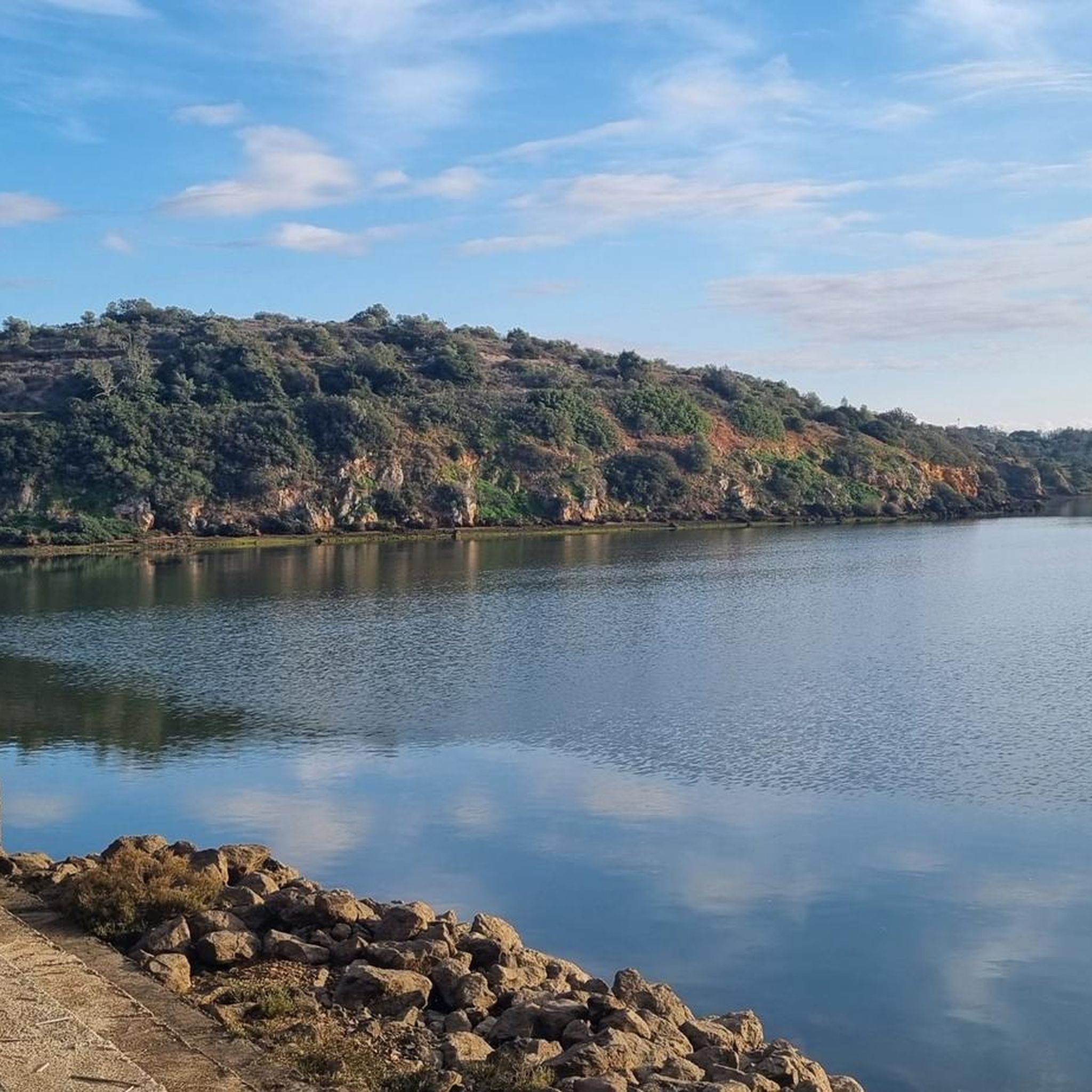
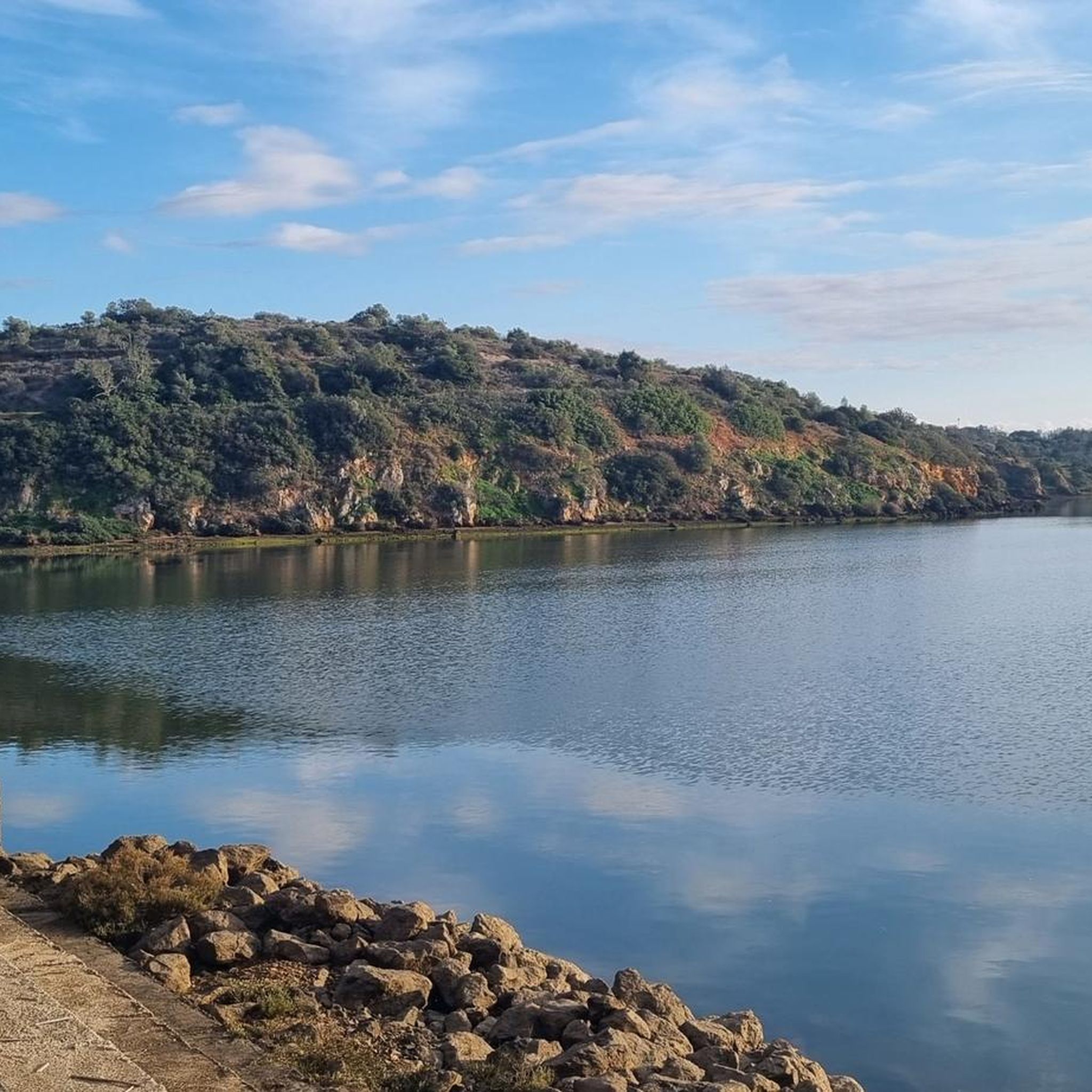
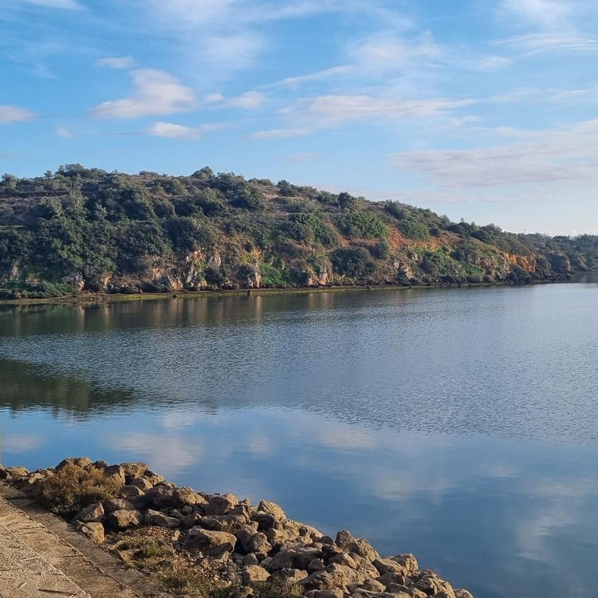
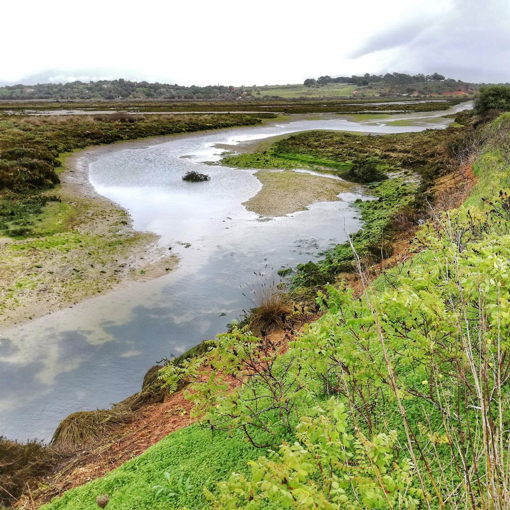
Tips from the Community

A well-maintained path, even if this section is a bit challenging! But the view is worth it!
2
0
A beautiful stretch of beach with a magnificent sandy beach and impressive rock formations!
2
0
Beautiful sandy beach with amazing rock formations!
3
0
…a city well worth seeing! The church is also a must-see!
1
0
…an impressive view of the rock formations!
2
0
A beautiful place with many sights and restaurants! There's also a sandy beach and amazing rock formations!
3
0
…a beautiful stretch of beach with amazing rock formations 👀
2
0

At the top of the Monchique mountain range rises Foia, the highest point in the Algarve, at 902 meters altitude. Its antennas mark the summit where the sky seems closest and, on clear days, the view reaches the Atlantic. Up here, the wind blows freely and the view is simply unforgettable.
2
0
Frequently Asked Questions
Are there any easy mountaineering routes suitable for beginners around Mexilhoeira Grande?
While the routes listed are generally moderate to difficult, the region offers varied terrain. For a moderate introduction, consider the Lagos Old Town – Historic Center of Lagos loop from Lagos, which is 5.3 miles (8.6 km) long and explores the historic area near Lagos with coastal perspectives.
Can I find circular mountaineering routes in the Mexilhoeira Grande area?
Yes, several routes are designed as loops. For instance, the Monchique Town Center – Foia Summit loop from Monchique is a popular 5.6 miles (9.0 km) circular trail that takes you to the Foia summit. Another option is the Monchique Cork Oak Forest – Picota Summit loop from Monchique, covering 7.1 miles (11.5 km).
Are the mountaineering trails around Mexilhoeira Grande family-friendly?
The routes in this guide are rated moderate to difficult, which might be challenging for very young children or families seeking very easy strolls. However, families with older children accustomed to hiking might enjoy the moderate trails, especially those with scenic views like the ascent to Foia. Always check the route details for distance and elevation before heading out.
Are dogs allowed on the mountaineering routes near Mexilhoeira Grande?
Many trails in the Algarve region are dog-friendly, especially in rural and mountain areas like Monchique. However, it's always advisable to keep your dog on a leash, particularly in areas with livestock or protected wildlife. Ensure your dog is fit enough for the chosen route and carry enough water for both of you.
Are there any routes that feature waterfalls?
Yes, the Fóia agricultural terraces – Chilrão Waterfall loop from Cascata do Chilrão is a moderate 7.8 km route that specifically includes the Chilrão Waterfall, offering a refreshing natural highlight.
What kind of natural landmarks or attractions can I see along these routes?
The routes offer diverse natural beauty. You can reach the highest point in the Algarve, Foia Summit, which provides panoramic views. Another prominent peak is Picota Summit. You might also encounter the Foia Summit and Cyclist Sculpture, or enjoy views of the Serra de Monchique.
What is the best time of year for mountaineering in Mexilhoeira Grande?
The Algarve region, including Mexilhoeira Grande, is best for outdoor activities during the cooler months. Spring (March to May) and Autumn (September to November) offer pleasant temperatures, fewer crowds, and vibrant landscapes. Summers can be very hot, making longer routes challenging, while winters are generally mild but can have occasional rain.
Are there places to eat or stay near the trailheads?
The Monchique mountain range, where several of these routes are located, has small towns like Monchique itself, which offer local restaurants, cafes, and accommodation options. Mexilhoeira Grande also has local establishments. It's a good idea to check in advance for opening hours, especially outside peak season.
What wildlife might I encounter on the trails?
The rural and hilly terrain, including cork oak forests and areas near streams, supports diverse wildlife. You might spot various bird species, including raptors in the Monchique mountains. Mammals like wild boar, foxes, and genets are present but are often shy. The region's flora is also rich, especially in spring.
How many mountaineering routes are available around Mexilhoeira Grande?
There are 5 mountaineering routes detailed in this guide, offering a range of experiences from moderate to difficult. These routes are highly rated by the komoot community, with an average score of 5.0 stars.
What do other mountaineers enjoy most about the routes in Mexilhoeira Grande?
The routes in Mexilhoeira Grande are highly rated by the komoot community, with an average score of 5.0 stars from more than 5 reviews. Mountaineers often praise the varied terrain, the panoramic views from elevated points like Foia, and the opportunity to explore the Algarve's natural beauty away from the coast.
Is public transport available to reach the mountaineering trailheads?
Public transport options to specific trailheads in the more rural Monchique area can be limited. It's often easier to reach these starting points by car. However, for routes closer to towns like Lagos or Monchique, local bus services might be available. It's recommended to check local transport schedules for specific routes.
Most popular routes around Mexilhoeira Grande
Most popular attractions around Mexilhoeira Grande

Get inspired with the komoot mobile app


