The best MTB trails around Amieira
4.0
(1)
21
riders
6
rides
Mountain biking around Amieira offers diverse landscapes for exploration, characterized by the vast Alqueva Lake and the scenic Tagus River. The region features varied terrain, from paved surfaces to unpaved segments, suitable for different skill levels. Mountain bike trails in Amieira often provide views of significant waterways and the surrounding Alentejo countryside. The area's natural features create a varied environment for cycling.
Best mountain bike trails around Amieira
- The most popular mountain bike trail is Ring route around the Santa…
Last updated: June 27, 2026
9
riders
27.9km
02:31
460m
460m
Moderate mountain bike ride. Good fitness required. Suitable for all skill levels.
1
riders
40.2km
04:03
1,050m
1,050m
This difficult 25.0-mile mountain biking loop from the Santa Luzia dam to Meãs offers panoramic views of the reservoir and pine groves.

Sign up for free
1
riders
56.4km
05:42
1,700m
1,700m
This difficult 35.0-mile mountain biking route from Santa Luzia dam to Fajão offers stunning landscapes and challenging terrain.
5
riders
53.7km
05:51
1,770m
1,770m
Hard mountain bike ride. Very good fitness required. Suitable for all skill levels.
4.0
(1)
3
riders
34.1km
03:00
870m
870m
Moderate mountain bike ride. Good fitness required. Suitable for all skill levels.
Our route recommendations are based on thousands of hikes, rides, and runs completed by other people on komoot.
Start today with a free account
Your next adventure awaits.
Login or Signup
Popular around Amieira
Tips from the Community

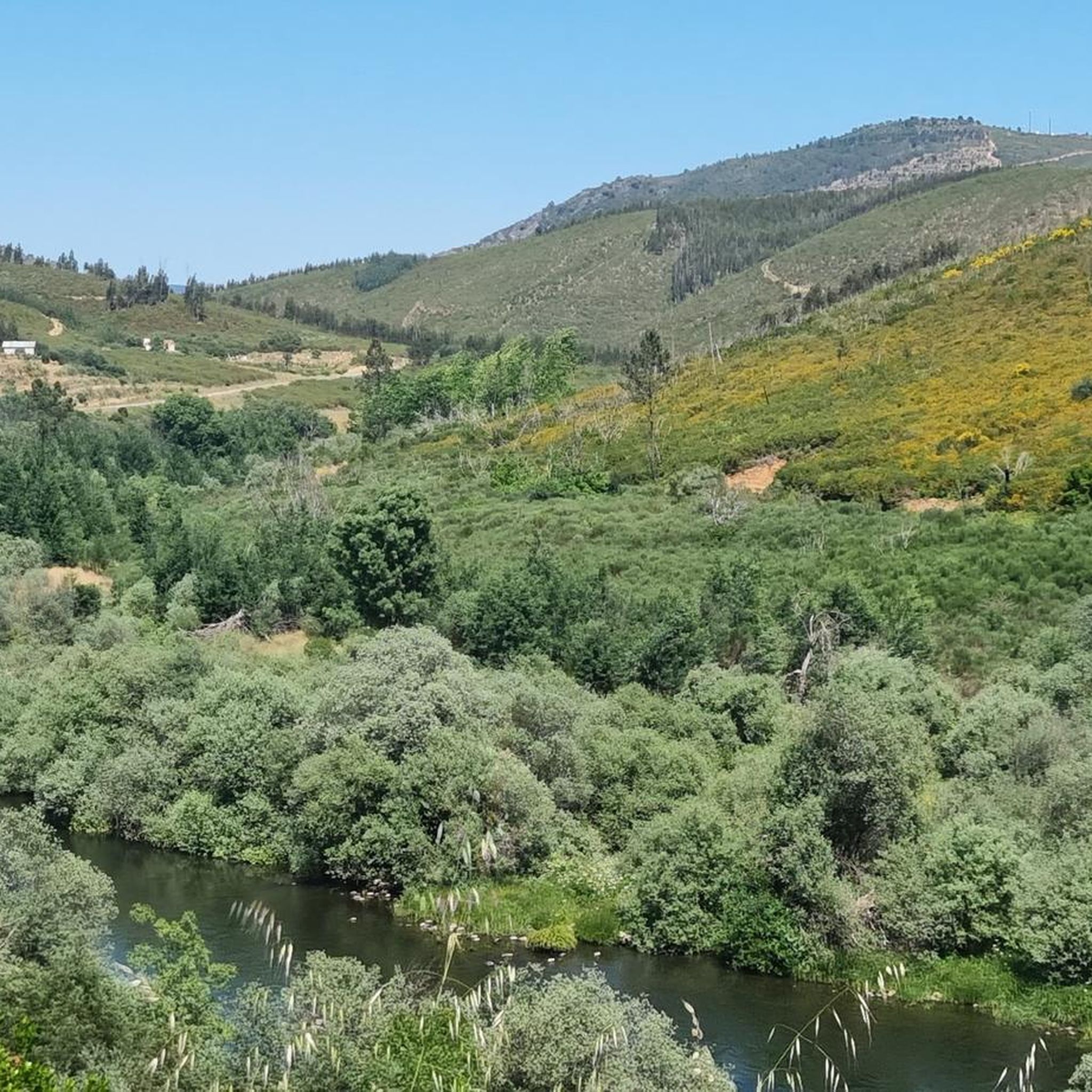
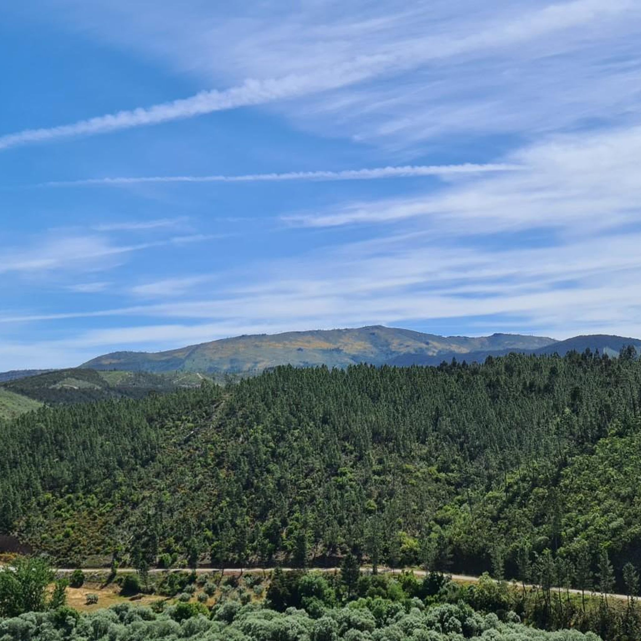
This road offers you a suggestive panorama that embraces the artificial lake of the dam and the surrounding imposing and wild mountains.
0
0
The Barragem de Santa Luzia is an arch dam built on the bed of the Unhais River between 1930 and 1942. The dam's name comes from the Hermitage of Santa Luzia, a chapel located nearby.
0
0
This road offers you a suggestive panorama that embraces the artificial lake of the dam and the surrounding imposing and wild mountains.
0
0
The Barragem de Santa Luzia is an arch dam built on the bed of the Unhais River between 1930 and 1942. The dam's name comes from the Hermitage of Santa Luzia, a chapel located nearby.
0
0
Fajão is nestled between the Serras del Açor and de la Lousã, and stands out for its unique architecture, made mainly of schist (xisto), the local stone that gives it a dark color and a characteristic appearance, making it one of the famous "schist villages" of the region. Fajão also has a parish museum that exhibits sacred art and objects of daily life, and boasts a history linked to the Resistance during the Salazarist regime.
1
0
Frequently Asked Questions
What kind of terrain can I expect on mountain bike trails around Amieira?
Mountain biking around Amieira offers diverse landscapes, characterized by the vast Alqueva Lake and the scenic Tagus River. You'll encounter varied terrain, from paved surfaces to unpaved segments, suitable for different skill levels. The region's natural beauty, including river views and diverse countryside, enriches the cycling experience.
Are there mountain bike trails suitable for beginners in Amieira?
While the guide primarily features moderate and difficult routes, the region generally offers a variety of trails. Some routes may include mostly paved surfaces, which can be more accessible for beginners. For a moderate challenge, consider the Ring route around the Santa Luzia dam, which is 17.3 miles (27.9 km) long.
What are some challenging mountain bike routes for experienced riders in Amieira?
For experienced riders seeking a challenge, Amieira offers several difficult routes. The Santa Luzia Dam Route 18 is a difficult 25.0 miles (40.2 km) path with significant elevation gain. Another demanding option is the Santa Luzia Dam and Fajão Loop, a 35.0 miles (56.4 km) trail leading through diverse landscapes.
How many mountain bike trails are available in Amieira?
There are 6 mountain bike trails listed in this guide for the Amieira region, offering a mix of moderate and difficult options to explore the area's diverse landscapes.
What natural landmarks or viewpoints can I see while mountain biking in Amieira?
The region is rich in natural beauty. You can expect stunning views of the vast Alqueva Lake and the scenic Tagus River. Some trails, like the Barca D'Amieira Trail, offer fabulous viewpoints overlooking the Tagus River and the Fratel dam. You might also encounter the Fraga de Água d'Alta Waterfall or the Santa Luzia Dam.
Are there any historical sites or cultural attractions accessible from the mountain bike trails?
Yes, beyond the natural beauty, Amieira offers historical and cultural points of interest. The Castle of Amieira do Tejo is a notable historic landmark. Some trails also feature remnants of Roman gold mines or unique sculptures, blending nature with art and history.
Are there mountain bike trails that are circular or loop routes in Amieira?
Yes, several mountain bike trails in Amieira are designed as circular or loop routes. Examples include the Ring route around the Santa Luzia dam and the Santa Luzia Dam and Fajão Loop, allowing you to start and end at the same point.
What is the best time of year for mountain biking in Amieira?
The calm, warm waters of the Alqueva Lake are particularly inviting for swimming during the summer months, suggesting pleasant conditions for outdoor activities. However, for mountain biking, spring and autumn generally offer more moderate temperatures, making for a more comfortable ride than the peak heat of summer.
Are there family-friendly mountain bike trails in Amieira?
While this guide focuses on moderate to difficult mountain bike trails, the Amieira region generally offers diverse cycling routes. For family-friendly options, look for trails described as 'easy' with mostly paved surfaces. The Praia Fluvial da Amieira (Amieira River Beach) is a highly rated attraction with comprehensive facilities, making it a comfortable base for water activities and potentially easier cycling nearby.
Can I bring my dog on the mountain bike trails in Amieira?
While many outdoor areas in Portugal are dog-friendly, it's always best to check specific trail regulations or local signage regarding pets. Generally, dogs are welcome on trails if kept on a leash and waste is properly disposed of. Ensure your dog is fit enough for the chosen route and bring plenty of water for both of you.
Are there places to eat or stay near the mountain bike trails in Amieira?
Amieira offers amenities that complement outdoor activities. The Amieira Marina, for instance, provides dining options and acts as a hub for lake activities. The Praia Fluvial da Amieira (Amieira River Beach) also has comprehensive facilities, which may include cafes or restaurants. For accommodation, you'll find various options in and around Amieira do Tejo.
Is public transport available to access mountain bike trailheads in Amieira?
Information on specific public transport links directly to mountain bike trailheads in Amieira is not readily available. It is generally advisable to plan for personal transport or check local bus schedules for connections to Amieira do Tejo, from where you might need to cycle to the trail starting points.
What is the average length and duration of mountain bike trails in Amieira?
The mountain bike trails in this guide vary in length and duration. For example, the Ring route around the Santa Luzia dam is 17.3 miles (27.9 km) and takes about 2 hours 31 minutes, while the Santa Luzia Dam and Fajão Loop is 35.0 miles (56.4 km) and can take around 5 hours 41 minutes.
Most popular routes around Amieira
Most popular attractions around Amieira

Get inspired with the komoot mobile app


Explore more
Browse the best MTB trails in other regions.
