The best walks and hikes around gmina Rudniki
5.0
(2)
24
hikers
4
hikes
Hiking around gmina Rudniki offers access to the Załęczański Landscape Park and the Warta River Valley, characterized by gentle hills and diverse natural features. The region features karstic phenomena, including sinkholes and dry valleys, alongside forests and riverine landscapes. The Warta River forms meanders and oxbow lakes, providing scenic riverside trails. This area provides varied terrain for outdoor activities.
Best hiking trails around gmina Rudniki
- The most popular hiking route is St. Genowefa Mountain – Żabi Pond loop from Stara…
Last updated: June 27, 2026
5.0
(1)
5
hikers
17.9km
04:38
100m
100m
Moderate hike. Good fitness required. Easily-accessible paths. Suitable for all skill levels.
3
hikers
17.7km
04:32
70m
70m
Moderate hike. Good fitness required. Easily-accessible paths. Suitable for all skill levels.

Sign up for free
5.0
(1)
8
hikers
5.08km
01:18
20m
20m
Easy hike. Great for any fitness level. Easily-accessible paths. Suitable for all skill levels.
4
hikers
3.58km
00:58
50m
50m
Easy hike. Great for any fitness level. Easily-accessible paths. Suitable for all skill levels.
4
hikers
7.35km
01:57
70m
70m
Easy hike. Great for any fitness level. Easily-accessible paths. Suitable for all skill levels.
Our route recommendations are based on thousands of hikes, rides, and runs completed by other people on komoot.
Start today with a free account
Your next adventure awaits.
Login or Signup

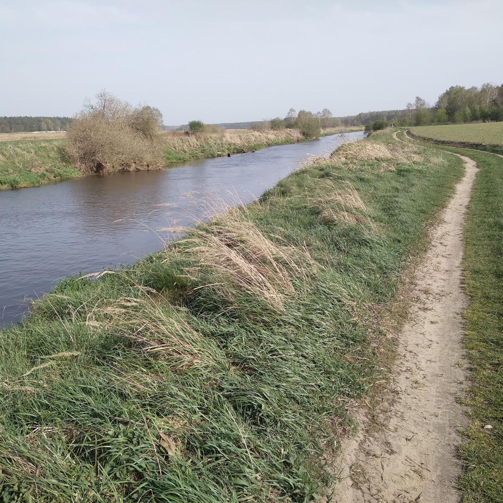
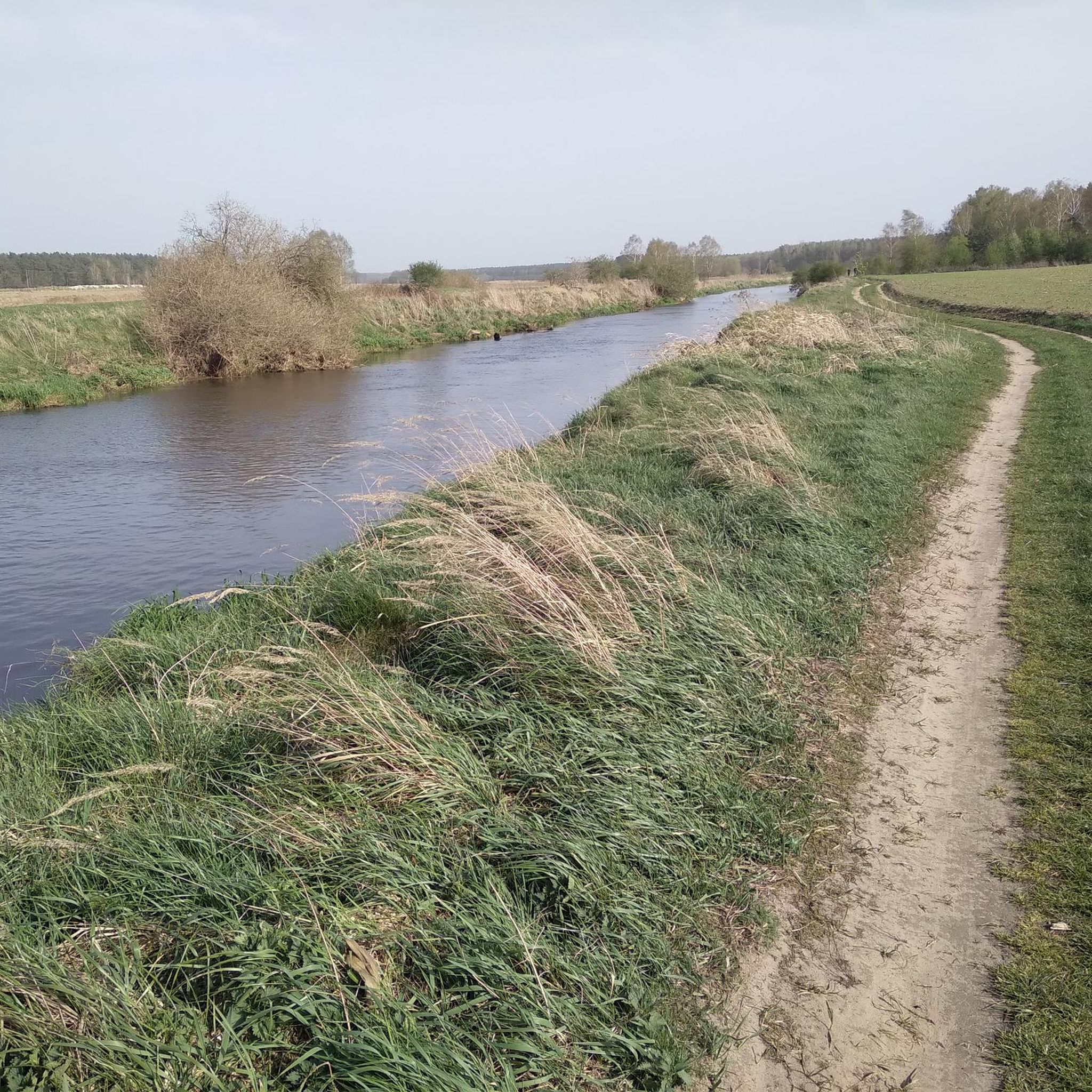
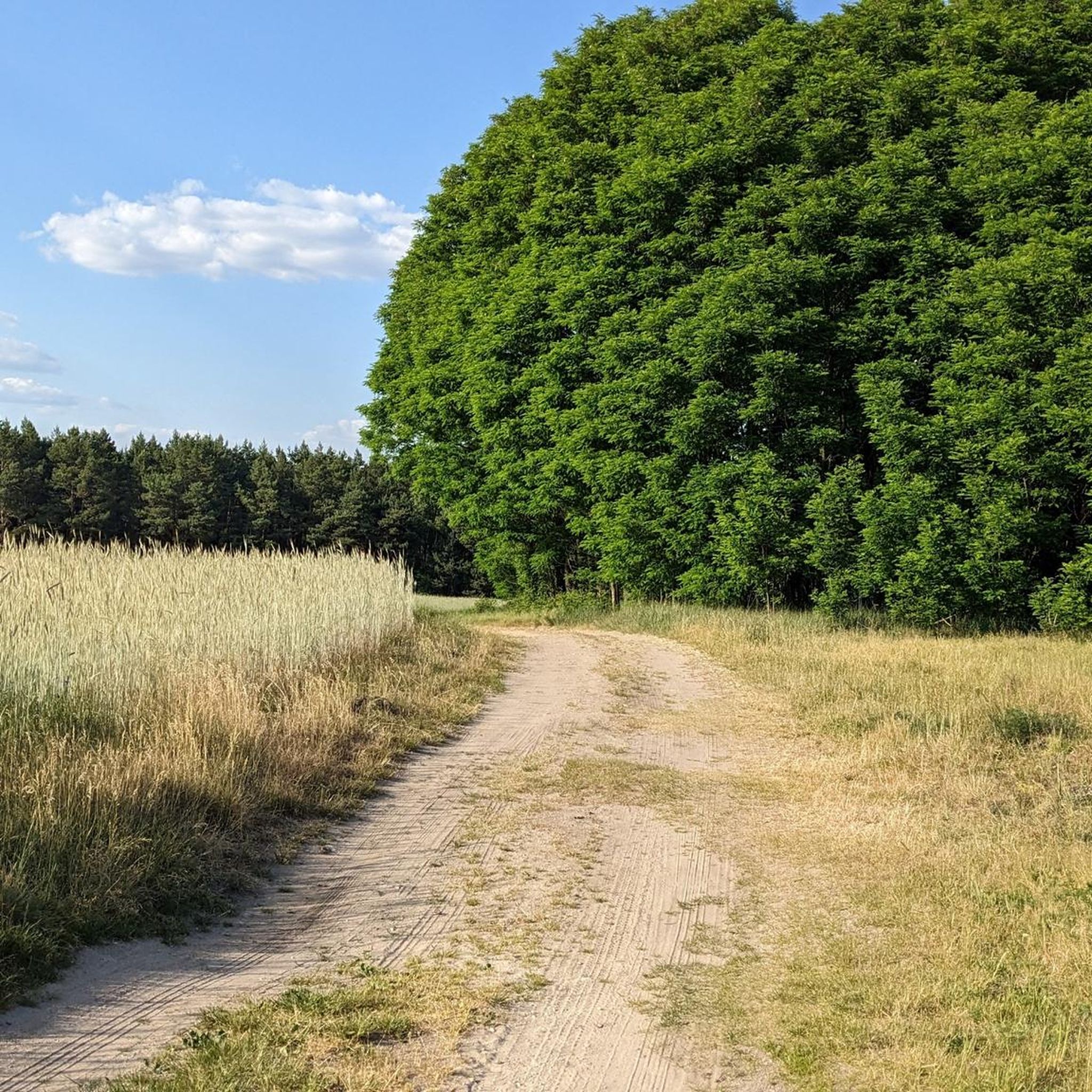

Tips from the Community

The beautiful Żabi Staw, near the Warta River, is protected as a natural monument. It can become overgrown, but beautiful flowers bloom on its surface in spring.
0
0
Many say that it is the most picturesque and largest rock in the Załęcze National Park. It is large - the walls are about 25 meters high. As for the name, there are various legends, from the one that a woman accused of cheating on her husband hid here to the one that witches gather here for the Sabbath!
0
0
Frequently Asked Questions
What types of landscapes can I expect to see while hiking in gmina Rudniki?
Hiking in gmina Rudniki offers a diverse landscape, primarily influenced by the Załęczański Landscape Park and the Warta River Valley. You'll encounter gentle hills, picturesque river meanders, oxbow lakes, and unique karstic phenomena such as sinkholes, caves, and dry valleys. The area is also rich in forests, providing varied natural scenery throughout the seasons.
Are there any easy hiking trails suitable for beginners or casual walkers?
Yes, gmina Rudniki offers several easy hiking trails. For instance, the Rezerwat Szachownica loop from gmina Lipie is an easy 3.1-mile (5.0 km) route. Another accessible option is the Szachownica loop from Szczepany, which is 2.6 miles (4.2 km) long.
What natural attractions or landmarks can I discover along the hiking routes?
The region is rich in natural attractions. You can explore areas with karstic features, including caves like the Niespodzianka Cave, which is part of the Niespodzianka Cave – Samsonowicz Cave loop from Rezerwat Węże. Other notable natural features include the scenic Warta River Valley, especially the 'Great Arch of Warta', and the exceptionally abundant Revelation Spring (Granatowe Źródła), known for its crystalline waters.
Are there any circular hiking routes in gmina Rudniki?
Many of the hiking routes in gmina Rudniki are designed as loops, offering convenient circular walks. Examples include the St. Genowefa Mountain – Żabi Pond loop from Stara Wieś, which is 11.1 miles (17.9 km), and the Żabi Pond – St. Genowefa Mountain loop from Rezerwat Węże, covering 11.0 miles (17.7 km).
What is the best time of year to go hiking in gmina Rudniki?
The diverse flora and fauna of the Załęczański Landscape Park make hiking enjoyable throughout much of the year. Spring and autumn offer pleasant temperatures and vibrant scenery, with spring bringing blooming plants and autumn showcasing colorful foliage. Summer is also suitable, though it can be warmer, while winter hiking is possible for those prepared for colder conditions and potential snow.
What historical sites or man-made attractions can be found near the trails?
Beyond natural beauty, you can find historical and man-made attractions. The Wooden Windmill (Kozlak) in Kocilew near Ożarów offers panoramic views, and the Danków Fortress Ruins provide a glimpse into the region's past. These can be interesting points to explore during your outdoor excursions.
What are the typical elevation changes on hiking trails in gmina Rudniki?
The hiking trails in gmina Rudniki generally feature gentle elevation changes, making them accessible for various fitness levels. For example, the St. Genowefa Mountain – Żabi Pond loop from Stara Wieś has an elevation gain of about 105 meters, while the Niespodzianka Cave – Samsonowicz Cave loop from Rezerwat Węże involves around 73 meters of ascent.
Are there any trails that pass by significant water features?
Yes, the Warta River Valley is a prominent feature of the region, and many trails offer scenic riverside views. You can observe picturesque meanders, oxbow lakes, and backwaters. The Warta River Valley in Załęczański Landscape Park itself is a highlight, and the Żabi Pond is also a notable water feature you might encounter on routes like the Żabi Pond – St. Genowefa Mountain loop.
What do other hikers say about the trails in gmina Rudniki?
The hiking routes in gmina Rudniki are highly rated by the komoot community, with an average score of 5.0 stars from several reviews. Hikers often praise the varied terrain, the natural beauty of the Załęczański Landscape Park, and the well-maintained paths that offer a rewarding outdoor experience.
Are there any specific nature reserves or protected areas to be aware of?
The region is largely within the buffer zone of the Załęczański Landscape Park, which is a protected area known for its diverse ecosystems and unique geological formations. Within the park, you can find specific nature reserves like the 'Węże' nature reserve, which is home to several caves and karstic features.
How many hiking routes are available in gmina Rudniki?
There are a total of 5 hiking routes documented in gmina Rudniki, offering a range of options from easy walks to moderate trails, allowing you to explore the diverse landscapes of the Załęczański Landscape Park and the Warta River Valley.
Most popular attractions around gmina Rudniki

Get inspired with the komoot mobile app


Explore more
Browse the best Hikes in other regions.
