The best walks and hikes around Gielniów
4.3
(12)
35
hikers
13
hikes
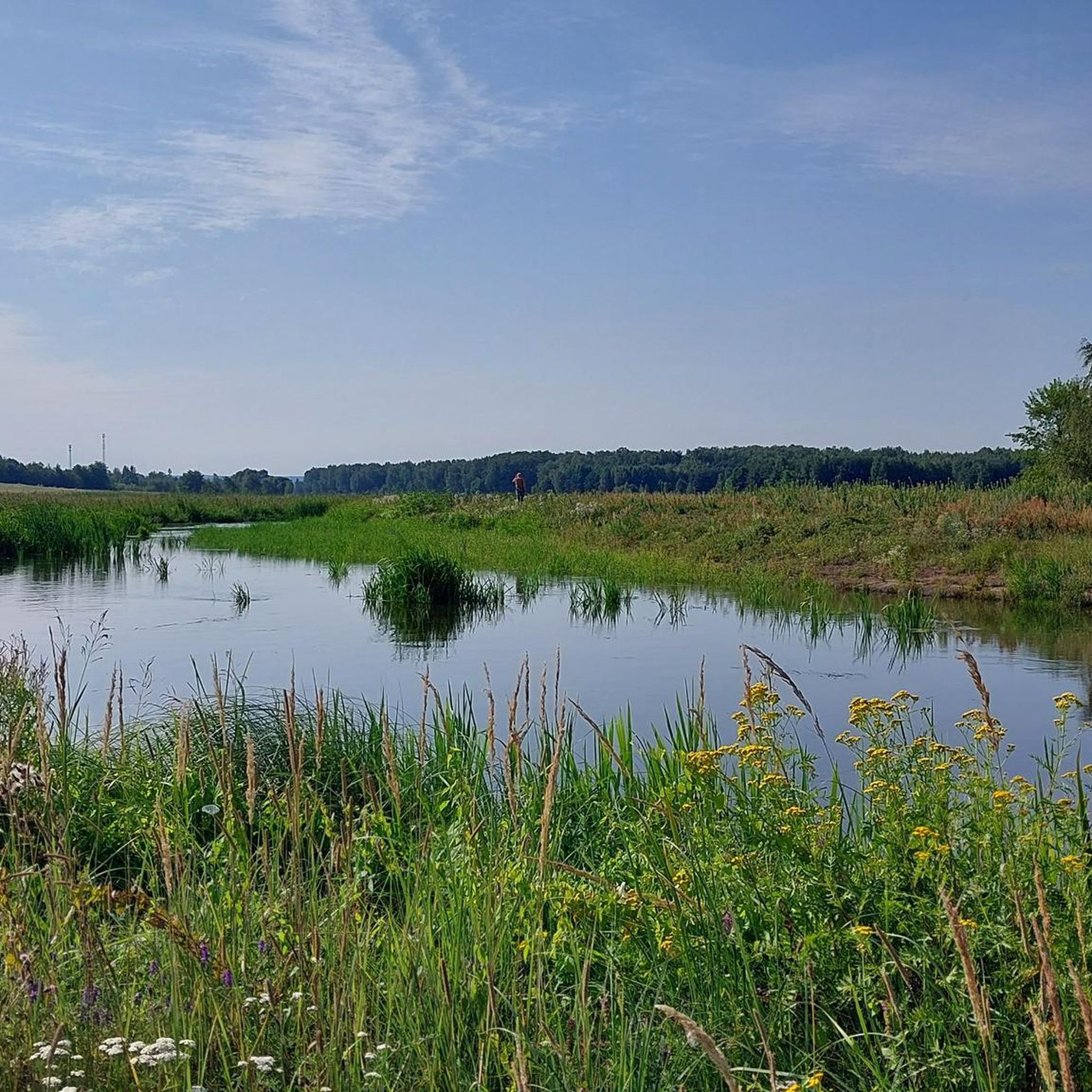
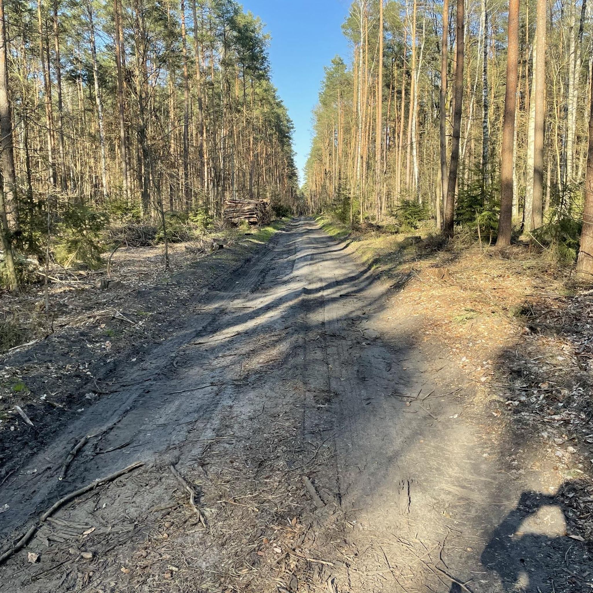
Hiking around Gielniów, a village in east-central Poland, offers varied terrain within the Garb Gielniowski (Gielniów Hump), a mezoregion of the Kielce Upland. This area features a mix of lush meadows and forests. The highest point in the Masovian Voivodeship, Góra Altana, stands at 408 meters above sea level, providing elevated views. The region also includes the "Kamieniołom gielniowski" (Gielniów quarry), a site of geological interest.
Best hiking trails around Gielniów
- The most popular hiking route is Gajówka Rawicz Memorial…
Last updated: June 27, 2026
4.8
(6)
7
hikers
5.65km
01:28
30m
30m
Easy hike. Great for any fitness level. Easily-accessible paths. Suitable for all skill levels.
4.5
(2)
5
hikers
7.20km
01:52
40m
40m
Easy hike. Great for any fitness level. Easily-accessible paths. Suitable for all skill levels.

Sign up for free
5.0
(1)
5
hikers
11.8km
03:11
150m
150m
Moderate hike. Good fitness required. Easily-accessible paths. Suitable for all skill levels.
4
hikers
3.61km
00:59
60m
60m
Easy hike. Great for any fitness level. Easily-accessible paths. Suitable for all skill levels.
2
hikers
5.33km
01:21
20m
20m
Easy hike. Great for any fitness level. Easily-accessible paths. Suitable for all skill levels.
Get access to more routes and recommendations from other explorers.
Sign up for free
Already have an account?
Our route recommendations are based on thousands of hikes, rides, and runs completed by other people on komoot.
Start today with a free account
Your next adventure awaits.
Login or Signup
Popular around Gielniów
Tips from the Community

country bar, nice simple food, good music and friendly service
1
0

An old sandstone quarry. A rest area with a shelter, and a short walk to the top of the escarpment (it's worth leaving your bike, but you'll have it in sight almost all the time).
0
0
The size is impressive, unfortunately the interior is inaccessible.
0
0

The building has undergone renovation of the façade and looks great from the outside. Unfortunately, the renovation inside has not been completed and it is not open to the public.
0
0

There are three other graves in the area. Repainted by history enthusiasts from Radom, the Traces of the Past group.
0
0

Here, in the depths of the forest in Przysucha, there used to be the "Rawicz" gamekeeper's house. It was burned by German soldiers during the Second World War, killing twelve Home Army soldiers who had previously been stationed here. At this point, we will see a monument commemorating those events. "The place of death of the partisans and their names are commemorated by a nearby plaque, funded in 1993 by the inhabitants of Przysucha and the surrounding area." source: https://radomskie.info/powiat-przysuski-rawicz-zaprasza-na-spacer/
0
0
Frequently Asked Questions
How many hiking trails are available around Gielniów?
There are currently 6 hiking routes documented around Gielniów on komoot. These trails offer a variety of experiences, from easy walks to more moderate excursions through the Garb Gielniowski region.
What kind of terrain can I expect on hikes in Gielniów?
The terrain around Gielniów is characterized by the undulating landscape of the Garb Gielniowski, part of the Kielce Upland. You'll find a mix of lush meadows and expansive forests, with varied elevation changes suitable for different fitness levels. The highest point in the Masovian Voivodeship, Góra Altana (408m), is also within this region.
Are there any easy hiking trails suitable for beginners or families in Gielniów?
Yes, Gielniów offers 4 easy hiking routes. A good option is the 18th-Century Synagogue loop from Przysucha, which is 7.2 km long and takes about 1 hour 50 minutes to complete, leading through historical areas and natural surroundings.
What are some interesting natural attractions or landmarks to see while hiking in Gielniów?
Hikers can explore several interesting points. The Przysucha Sandstone Rocks are a notable natural monument. You might also encounter the geologically significant "Kamieniołom gielniowski" (Gielniów quarry), which is a protected documentary site. For a mix of natural beauty and historical context, consider routes that pass by these features.
Are there any circular hiking routes in the Gielniów area?
Yes, many of the trails around Gielniów are designed as loops. For example, the Gajówka Rawicz Memorial – Przysucha Sandstone Rocks loop from Przysucha is a moderate 9.7 km circular route, and the Grube Dęby – Gajówka Rawicz loop from Topornia offers a longer 15.4 km circular excursion.
What do other hikers say about the trails in Gielniów?
The hiking routes in Gielniów are highly rated by the komoot community, with an average score of 4.0 stars from 3 reviews. Hikers often appreciate the varied terrain, from lush forests to open meadows, and the opportunities to explore both natural and historical sites.
Are there any longer, more challenging hikes available in Gielniów?
While there are no routes classified as 'difficult', you can find moderate trails that offer a longer excursion. The Grube Dęby – Gajówka Rawicz loop from Topornia is a moderate 15.4 km path, typically taking over 4 hours to complete, leading through woodlands and open areas.
Can I combine hiking with visiting historical sites in Gielniów?
Absolutely. Several routes integrate historical elements. The 18th-Century Synagogue loop from Przysucha is a prime example, allowing you to explore local historical areas alongside natural surroundings. You can also find memorials like the Gajówka Rawicz Memorial along some trails.
What is the highest point I can reach on a hike in the Gielniów region?
The highest point in the Garb Gielniowski, and indeed in the entire Masovian Voivodeship, is Góra Altana, standing at 408 meters above sea level. While specific routes to its summit are not detailed here, the general area offers elevated views and more challenging ascents for those seeking them.
Are there any specific highlights or points of interest along the trails in Gielniów?
Yes, hikers can discover several highlights. The Polish Soldier Memorial and the Gajówka Rawicz Memorial are significant historical markers. You might also cross the Footbridge Over the Railway Line or pass by the historic 18th-Century Synagogue, depending on your chosen route.
What is the best time of year for hiking in Gielniów?
Gielniów's diverse natural landscapes, with lush meadows and forests, make it appealing for hiking during spring, summer, and autumn. Spring brings blooming flora, summer offers warm weather for longer excursions, and autumn provides beautiful foliage. Winter hiking is also possible, though conditions may vary.
Most popular routes around Gielniów
Most popular attractions around Gielniów

Get inspired with the komoot mobile app


Explore more
Browse the best Hikes in other regions.
