The best walks and hikes around gmina Słomniki
5.0
(5)
73
hikers
35
hikes
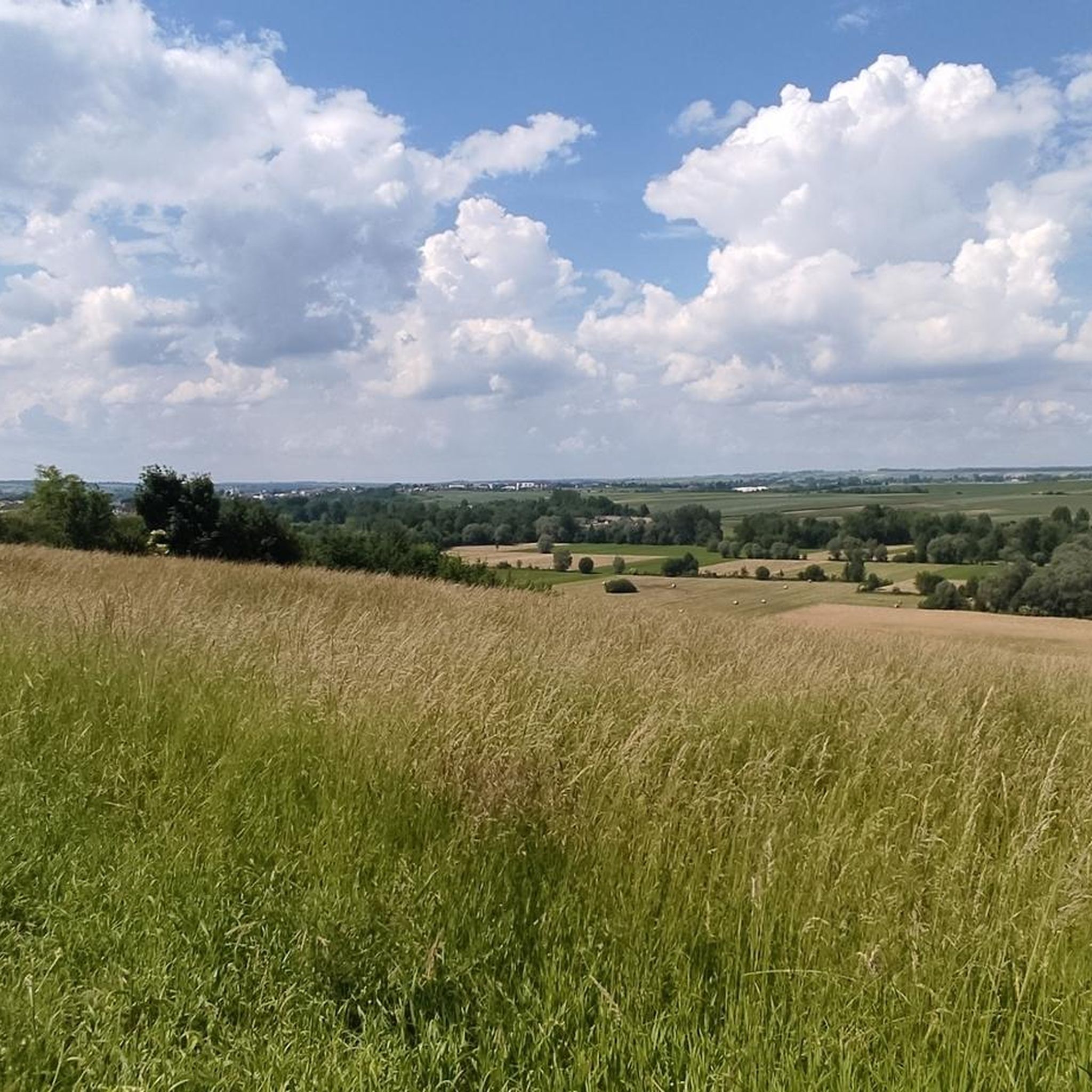
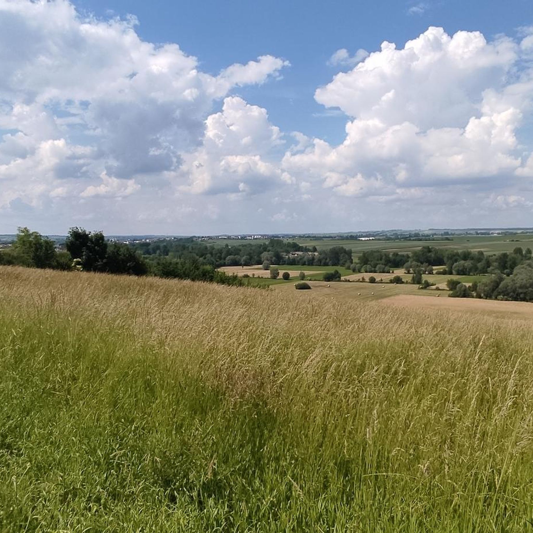
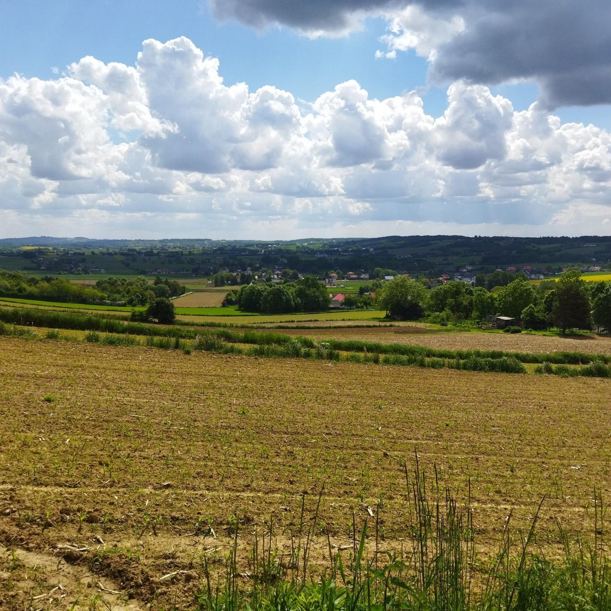
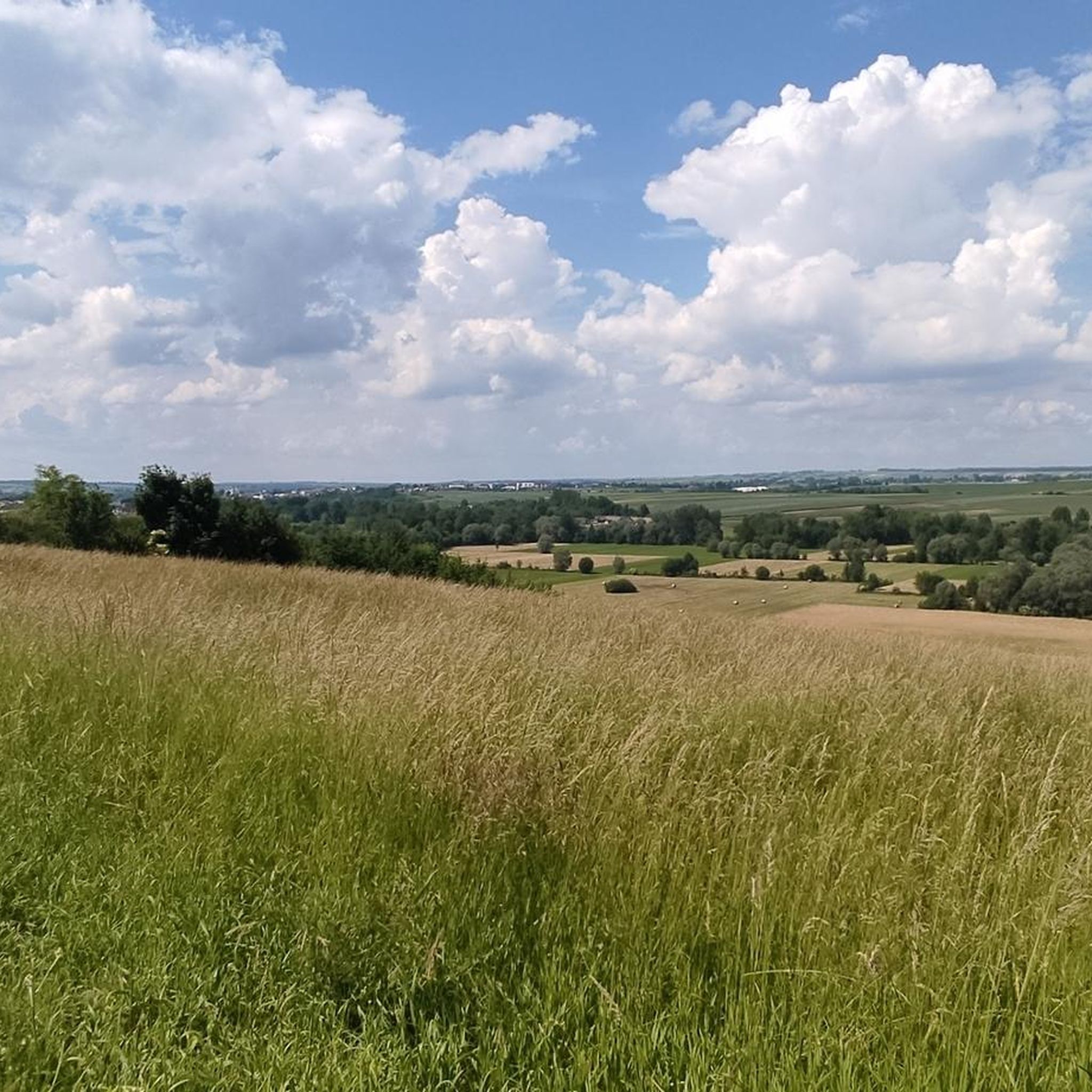
Hiking around gmina Słomniki offers diverse landscapes characterized by the Miechowska Upland, featuring extensive hills and distinctive depressions. The region includes the Polanowice-Goszcza forest complex, providing tranquil settings for outdoor activities. Its natural scenery comprises forests, lush meadows, and fields, with elevations ranging from 741 feet to 935 feet. This varied topography creates engaging terrain for walkers.
Best hiking trails around gmina Słomniki
- The most popular hiking route is Rezerwat Wały loop from gmina Racławice, a 3.6 miles (5.8…
Last updated: June 27, 2026
11
hikers
13.5km
03:44
230m
230m
Moderate hike. Good fitness required. Easily-accessible paths. Suitable for all skill levels.
5.0
(2)
7
hikers
5.70km
01:33
90m
90m
Easy hike. Great for any fitness level. Easily-accessible paths. Suitable for all skill levels.

Sign up for free
5
hikers
10.3km
02:46
120m
120m
Moderate hike. Good fitness required. Easily-accessible paths. Suitable for all skill levels.
3
hikers
10.2km
02:42
100m
100m
Moderate hike. Good fitness required. Easily-accessible paths. Suitable for all skill levels.
5.0
(2)
3
hikers
5.33km
01:25
60m
60m
Easy hike. Great for any fitness level. Easily-accessible paths. Suitable for all skill levels.
Get access to more routes and recommendations from other explorers.
Sign up for free
Already have an account?
Our route recommendations are based on thousands of hikes, rides, and runs completed by other people on komoot.
Start today with a free account
Your next adventure awaits.
Login or Signup
Tips from the Community

Good asphalt, quiet street - just in time to avoid a part of the busy street. Border
0
0

The village was located in the northern part of the Kraków-Częstochowa Upland, and was an important point on the map of the Royal Silk Road.
0
0

Frequently Asked Questions
What kind of terrain can I expect when hiking in gmina Słomniki?
Gmina Słomniki is characterized by the picturesque Miechowska Upland, offering extensive hills and distinctive depressions. You'll find varied topography with rolling hills, dense woodlands, and expansive meadows. Elevations generally range from 741 feet to 935 feet, providing engaging terrain for walkers.
Are there many hiking trails available in gmina Słomniki?
Yes, there are over 15 hiking routes in gmina Słomniki. The network offers options for different ability levels, from easy strolls to moderate excursions, ensuring there's something for everyone.
What do other hikers enjoy most about the trails in gmina Słomniki?
The routes in gmina Słomniki are highly rated by the komoot community, with an average score of 4.6 stars from over 5 reviews. Hikers often praise the diverse landscapes, tranquil forest settings, and the variety of trails suitable for different fitness levels.
Are there any family-friendly hiking options in gmina Słomniki?
Many of the trails in gmina Słomniki are suitable for families, particularly the easy-graded routes. For example, the Frog Pond loop from gmina Miechów is an easy 6.3 km path with gentle elevation changes, perfect for a pleasant family outing.
Are there any circular hiking routes in gmina Słomniki?
Yes, gmina Słomniki offers several circular routes. A popular choice is the Rezerwat Wały loop from gmina Racławice, an easy 5.8 km trail that takes about 1 hour 34 minutes to complete, featuring gentle elevation changes through varied terrain.
What natural features or landmarks can I see along the hiking trails?
Along the trails, you can explore the tranquil Polanowice-Goszcza forest complex and enjoy the lush meadows and fields of the Miechowska Upland. For specific points of interest, consider visiting the Waterfalls on the Dłubnia 😉, or the historic St. Margaret's Church in Raciborowice.
Are there specific trails for Nordic Walking in the area?
Yes, the Polanowice-Goszcza forest complex features dedicated Nordic walking routes. These include a 3.4 km easy green trail, a 6.2 km red trail of medium difficulty, and a challenging 9.9 km black trail, some with exercise stations and heart rate measurement points.
What is the best time of year to go hiking in gmina Słomniki?
The best time to hike in gmina Słomniki is typically during spring, summer, and early autumn. These seasons offer pleasant weather for exploring the forests, meadows, and rolling hills, with vibrant flora in spring and lush greenery in summer, followed by colorful foliage in autumn.
Is there public transport available to reach hiking areas in gmina Słomniki?
Gmina Słomniki is approximately 24 kilometers northeast of Kraków. While specific public transport details to trailheads might vary, Słomniki town itself is accessible, and a yellow connecting trail leads from Słomniki through Miłocice to the Nordic Walking trails in Polanowice-Goszcza.
Are there any longer, more challenging hikes available?
While most routes are easy to moderate, some trails offer a longer experience. For instance, the Hiking loop from Górna Wieś is a moderate 10.3 km trail leading through rolling hills and open fields, often completed in about 2 hours 46 minutes.
Can I find accommodation or places to eat near the hiking trails?
Gmina Słomniki, being an urban-rural district, offers amenities within its towns and villages. You can find cafes, pubs, and accommodation options in Słomniki town center and surrounding areas, providing convenient stops before or after your hikes.
Are there any historical trails in gmina Słomniki?
Yes, a segment of the historic St. James Trail (Camino de Santiago) passes through the gmina Słomniki region. This 8 km section between Szczepanowice, Polanowice, and Zalesie offers walkers paths through splendid forests, vibrant meadows, and expansive fields, connecting you to a rich historical pilgrimage route.
Most popular routes around gmina Słomniki
Most popular attractions around gmina Słomniki

Get inspired with the komoot mobile app


Explore more
Browse the best Hikes in other regions.
