The best walks and hikes around gmina Krasnystaw
4.5
(66)
96
hikers
15
hikes
Hiking around gmina Krasnystaw offers diverse natural landscapes, including protected areas and well-marked trails. The region is characterized by a blend of forests, river valleys, and unique geological formations such as the Giełczewska Heights and Działy Grabowieckie, which feature a system of ravines. Significant portions are within the Grabowiecko-Strzelecki Protected Landscape Area and the Skierbieszów Landscape Park. The Wieprz River and its tributaries create charming riverside areas with meadows and oxbow lakes.
Best hiking trails around gmina Krasnystaw
- The most…
Last updated: June 27, 2026
4.9
(9)
30
hikers
4.40km
01:13
80m
80m
Easy hike. Great for any fitness level. Easily-accessible paths. Suitable for all skill levels.
5.0
(1)
1
hikers
Hard hike. Very good fitness required. Mostly accessible paths. Sure-footedness required.

Sign up for free
4.5
(4)
13
hikers
8.62km
02:19
110m
110m
Moderate hike. Good fitness required. Easily-accessible paths. Suitable for all skill levels.
4.1
(23)
10
hikers
7.00km
01:47
20m
20m
Easy hike. Great for any fitness level. Easily-accessible paths. Suitable for all skill levels.
4.0
(19)
10
hikers
8.15km
02:06
30m
30m
Moderate hike. Good fitness required. Easily-accessible paths. Suitable for all skill levels.
Get access to more routes and recommendations from other explorers.
Sign up for free
Already have an account?
Our route recommendations are based on thousands of hikes, rides, and runs completed by other people on komoot.
Start today with a free account
Your next adventure awaits.
Login or Signup

Tips from the Community

Church of St. Francis Xavier in Krasnystaw.
0
0

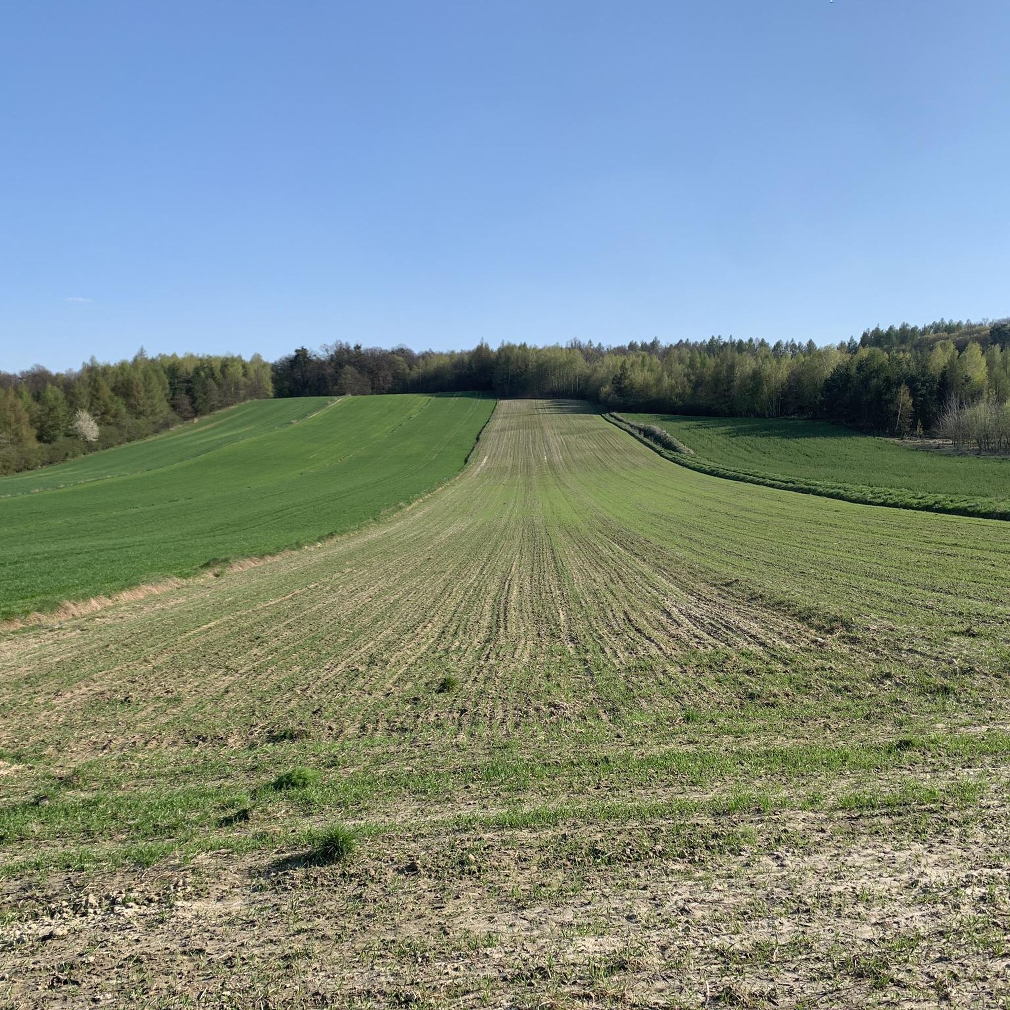
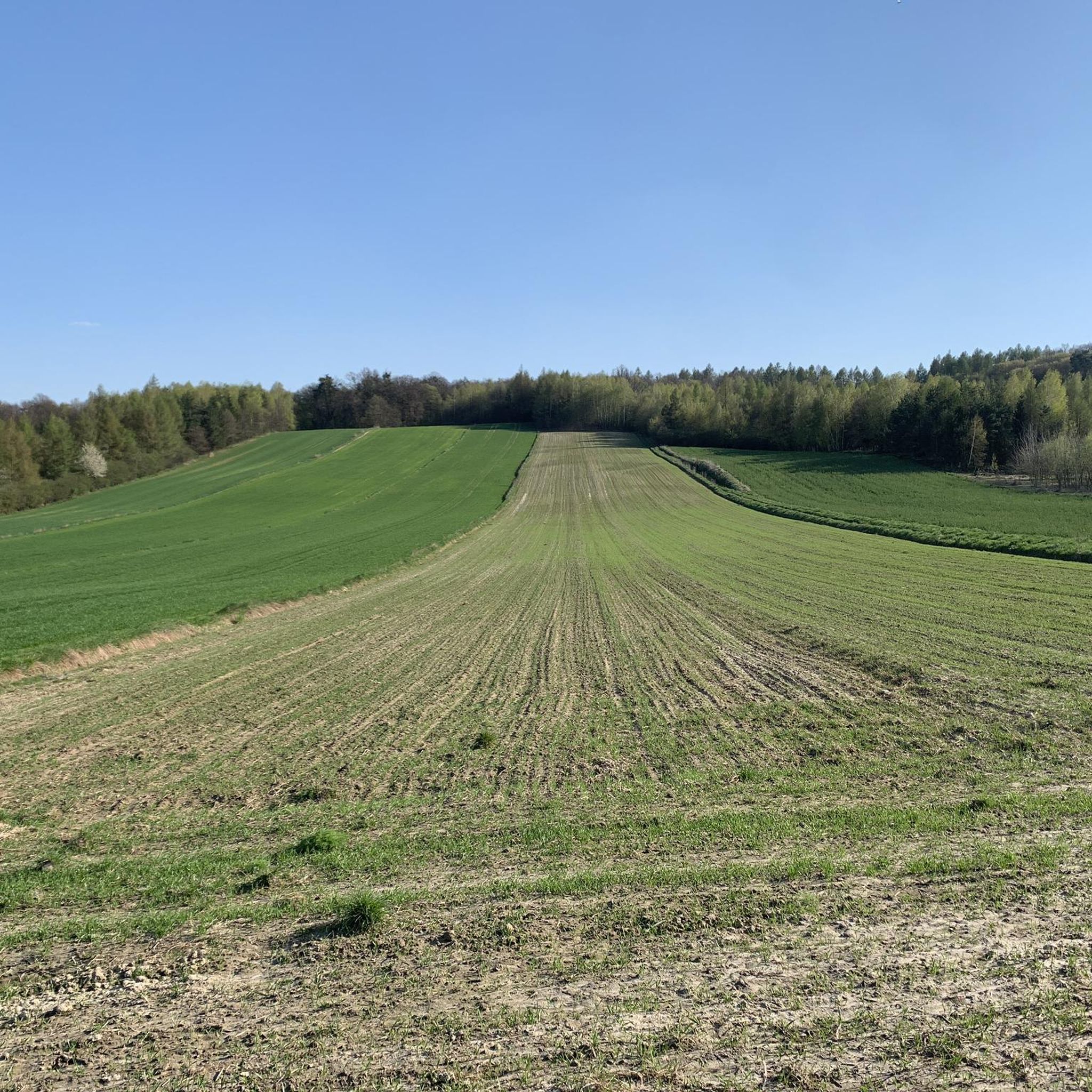
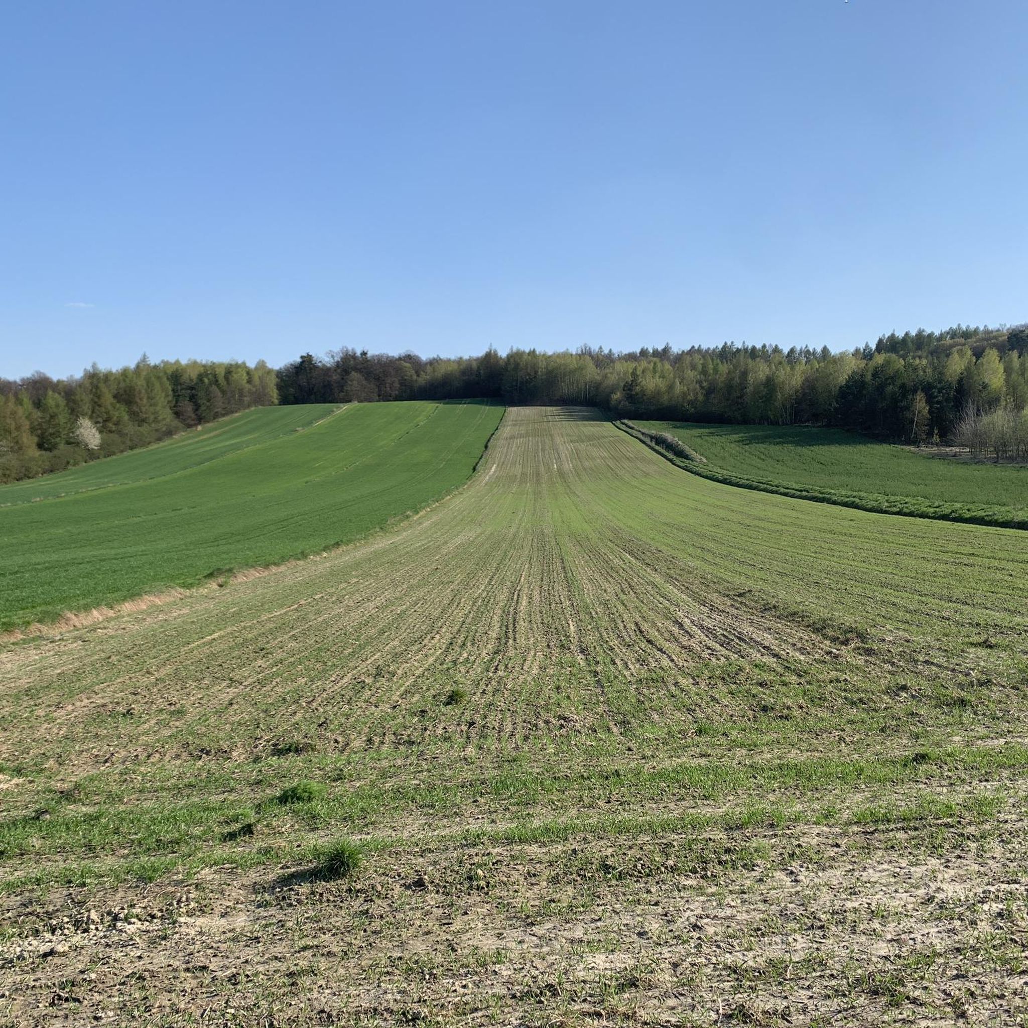
The Wodny Dół nature reserve is located in the Krasnystaw commune, in the Lublin Voivodeship. It was established in 1995 to protect the special landscape of the Giełczewska Heights, including picturesque erosion cuts covered with forest with rare and protected plants. In addition to the beautiful, dense forest, we will also see deep gorges that cannot be envied by those in Kazimierz. In addition, they are less known, so you won't encounter crowds here. A place really worth recommending. At the tourist shelter on the Jaślikowo side there is a map with designated routes and information boards.
3
0
Near Jaślikowo (near Krasnystaw) there is the Dół Water Reserve. You can park here, there is a shelter available and a map of the area with designated paths in various lengths. A place worth recommending and little known even among the inhabitants of the Lublin region.
2
0
Stryjowskie debry, i.e. gorges in the Skierbieszów Landscape Park. Debry is a local name, just as in Kazimierz Dolny the name "doły" is often used (Korzeniowy Dół, Norowy Dół, etc.). In the western part of the park, a nature and historical trail called "Stryjowskie Debry" was created, marked in red, which consists of two loops. The first one goes from Stryjów through the Kulig forest, the second one through Kryniczki and the Zabytów forest and next to the Saint spring. Jan Nepomucen. A very pleasant and well-marked path (renovated in 2019).
2
0
Ruins of the Smorczewski palace complex from the turn of the 19th and 20th centuries. In 1879, Medard Adolf Smorczewski purchased an estate in Stryjów, where he expanded the existing manor house, transforming it into a neo-Gothic palace. After his death, he passed it on to his son Feliks, who expanded the estate with new buildings and a complex of ponds. The palace was distinguished by a tower with the coats of arms of Rawicz, Smorczewski and Leszczyński, and an eastern porch with a balcony. The interior finishing was taken care of, and the palace was decorated with colorful fabrics, parquet floors and Neo-Renaissance reliefs. After World War I, a Neo-Romanesque cemetery chapel was built in the park. After the death of Count Feliks in 1943 and the subsequent emigration of the family after the war, the palace underwent various changes, including: in the 1970s it became a school, and in the late 1980s it passed into private hands. The planned recreation center was not built, and the building returned to the heirs, falling into ruin. Today, the remains of the palace retain part of the original structure and facade.
2
0

Krasnystaw. Church of St. Francis Ksawery designed by Jan Delamars, built at the turn of the 17th and 18th centuries. Recently, during renovation works, rich decorations on the front façade were discovered. The polychromes were uncovered and restored.
0
0

A perfect example of the benefits of preserving trees during renovation - shade, beautiful. Congratulations!
0
1

Apparently, the illuminated fountain looks great at night.
0
0
Frequently Asked Questions
How many hiking trails are available in gmina Krasnystaw?
Based on komoot data, there are currently around 9 hiking routes in gmina Krasnystaw, offering a variety of experiences for different skill levels. These include 4 easy, 4 moderate, and 1 difficult trail.
What kind of terrain can I expect on hikes in gmina Krasnystaw?
Hiking in gmina Krasnystaw features diverse terrain, including dense forests, tranquil river valleys, and picturesque loess ravines. You'll encounter varied landscapes within protected areas like the Grabowiecko-Strzelecki Protected Landscape Area and the Skierbieszów Landscape Park, which include the Giełczewska Heights and Działy Grabowieckie with their systems of ravines.
Are there any family-friendly hiking options in gmina Krasnystaw?
Yes, gmina Krasnystaw offers several easy routes suitable for families. A great option is the Water Reserve Dół (loop from Jaślikowa), an easy 2.7-mile (4.4 km) trail that takes just over an hour to complete, looping through the scenic Wodny Dół Nature Reserve.
Can I bring my dog on the hiking trails in gmina Krasnystaw?
While specific regulations for dogs on trails can vary, generally, dogs are welcome on many outdoor trails in Poland, especially if kept on a leash. The natural environment of gmina Krasnystaw, with its forests and open spaces, is often suitable for walks with dogs. Always ensure your dog is under control and respect local signage, especially within nature reserves.
What are some notable natural features or landmarks to see while hiking?
Gmina Krasnystaw is rich in natural beauty. You can explore the distinctive landscape of the Wodny Dół Nature Reserve, known for its erosion cuts and deep gorges. The region also features the Wieprz River and its tributaries, offering charming riverside areas, meadows, and oxbow lakes. The Grabowiecko-Strzelecki Protected Landscape Area and Skierbieszów Landscape Park also offer scenic viewpoints and varied terrain.
Are there any circular hiking routes available?
Yes, many of the routes in gmina Krasnystaw are designed as loops, providing convenient circular hikes. For example, the Water Reserve Dół (loop from Jaślikowa) and the Wodny Dół Nature Reserve – Shelter loop from Niemienice-Kolonia are popular circular options that allow you to start and end at the same point.
What is the best time of year to go hiking in gmina Krasnystaw?
The best time for hiking in gmina Krasnystaw is typically during the spring, summer, and early autumn months. Spring brings blooming flora, while summer offers lush greenery. Autumn provides beautiful fall colors and cooler temperatures, ideal for longer walks. Winter hiking is possible, but trails may be covered in snow or ice, requiring appropriate gear.
Are there any less crowded hiking spots or hidden gems?
The "Wodny Dół" Nature Reserve in Niemienice is a key highlight and offers a less crowded alternative to more well-known natural sites. Its picturesque erosion cuts and dense forests provide a tranquil hiking experience. Additionally, exploring the extensive forest complexes and loess ravines throughout the gmina can lead to peaceful, secluded paths.
What do other hikers enjoy most about hiking in gmina Krasnystaw?
The area is highly rated by the komoot community, with an average score of 4.5 stars from over 30 reviews. Reviewers often praise the diverse natural landscapes, the tranquility of the protected areas, and the blend of forests and river valleys. The unique geological formations and well-marked trails are also frequently highlighted as enjoyable aspects.
Are there any historical sites or cultural landmarks along the trails?
Yes, the region has historical significance. The "Ariański" Yellow Trail, for instance, passes through Krynica, featuring the "Arian Hill" with its distinctive "Grobisko" tower (a 17th-century mausoleum). This trail also leads past the ruins of a castle and a classicist manor in Krupe, offering a blend of nature and history for hikers.
Is there parking or public transport access to trailheads?
While specific parking details for every trailhead are not always available, many popular hiking areas in gmina Krasnystaw, especially near nature reserves or villages, typically offer designated parking spots. For public transport, local bus services might connect some villages, but it's advisable to check local schedules for routes that align with your chosen trailhead. Planning your route in advance on komoot can help identify convenient starting points.
Most popular routes around gmina Krasnystaw
Most popular attractions around gmina Krasnystaw

Get inspired with the komoot mobile app


Explore more
Browse the best Hikes in other regions.
