The best walks and hikes around Abertura
4.9
(5)
48
hikers
4
hikes
Hiking around Abertura, located in Spain, offers trails through a landscape characterized by open plains, rolling hills, and areas of oak woodlands. The region provides diverse natural surroundings, with varied geology and vegetation suitable for exploration. Hikers can expect routes that traverse agricultural lands and natural areas, often featuring gentle slopes and occasional water features. The terrain supports a range of outdoor activities, from leisurely walks to more extended treks.
Best hiking trails around Abertura
- The most popular hiking route is Hiking loop from Santa Cruz de la Sierra, a 4.9 miles (7.9 km) trail that takes 2 hours 46 minutes to complete. This moderate route features an elevation gain of 1191 feet (363 meters) through varied terrain.
- Another top favourite among local hikers is Hiking loop from Puerto de Santa Cruz, a moderate 5.2 miles (8.3 km) path. This trail includes an ascent of 1248 feet (380 meters) and offers views of the surrounding countryside.
- Local hikers also love the Hiking loop from Miajadas, a 3.6 miles (5.8 km) trail leading through open landscapes, often completed in about 1 hour 31 minutes.
- Hiking around Abertura is defined by open plains, rolling hills, and oak woodlands. The network offers options for both easy and moderate ability levels.
- The routes in Abertura are highly rated by the komoot community with an average score of 5.0 stars from 3 reviews. More than 50 hikers have used komoot to explore Abertura's varied terrain.
Last updated: June 30, 2026
4.7
(3)
25
hikers
5.44km
02:15
340m
340m
Moderate hike. Good fitness required. Mostly accessible paths. Sure-footedness required.
5.0
(1)
9
hikers
7.93km
02:46
360m
360m
Moderate hike. Good fitness required. Mostly accessible paths. Sure-footedness required.

Sign up for free
5.0
(1)
9
hikers
8.45km
02:56
380m
380m
Moderate hike. Good fitness required. Mostly accessible paths. Sure-footedness required.
4
hikers
5.82km
01:31
40m
40m
Easy hike. Great for any fitness level. Easily-accessible paths. Suitable for all skill levels.
1
hikers
11.9km
03:11
130m
130m
Moderate hike. Good fitness required. Easily-accessible paths. Suitable for all skill levels.
Our route recommendations are based on thousands of hikes, rides, and runs completed by other people on komoot.
Start today with a free account
Your next adventure awaits.
Login or Signup

Tips from the Community

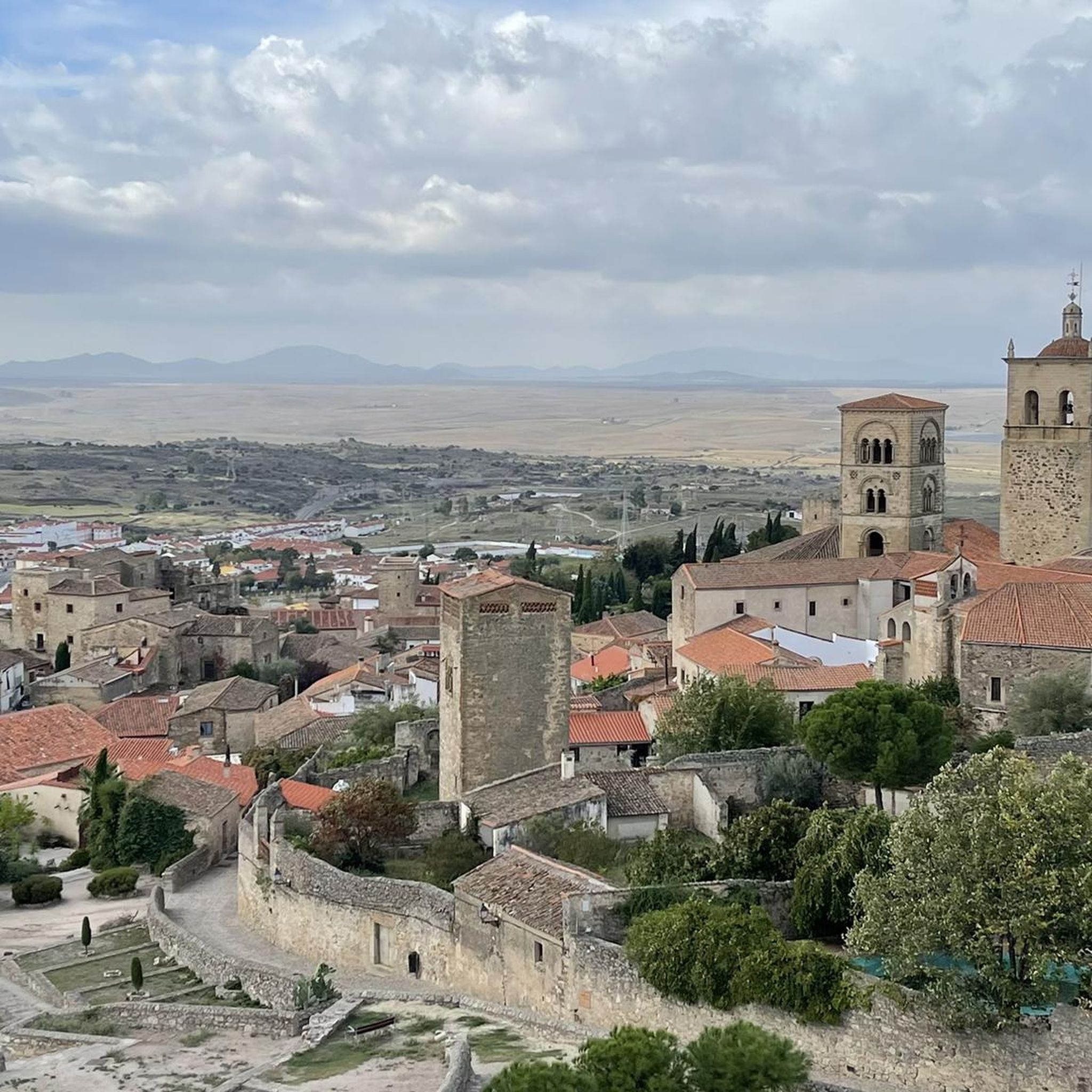
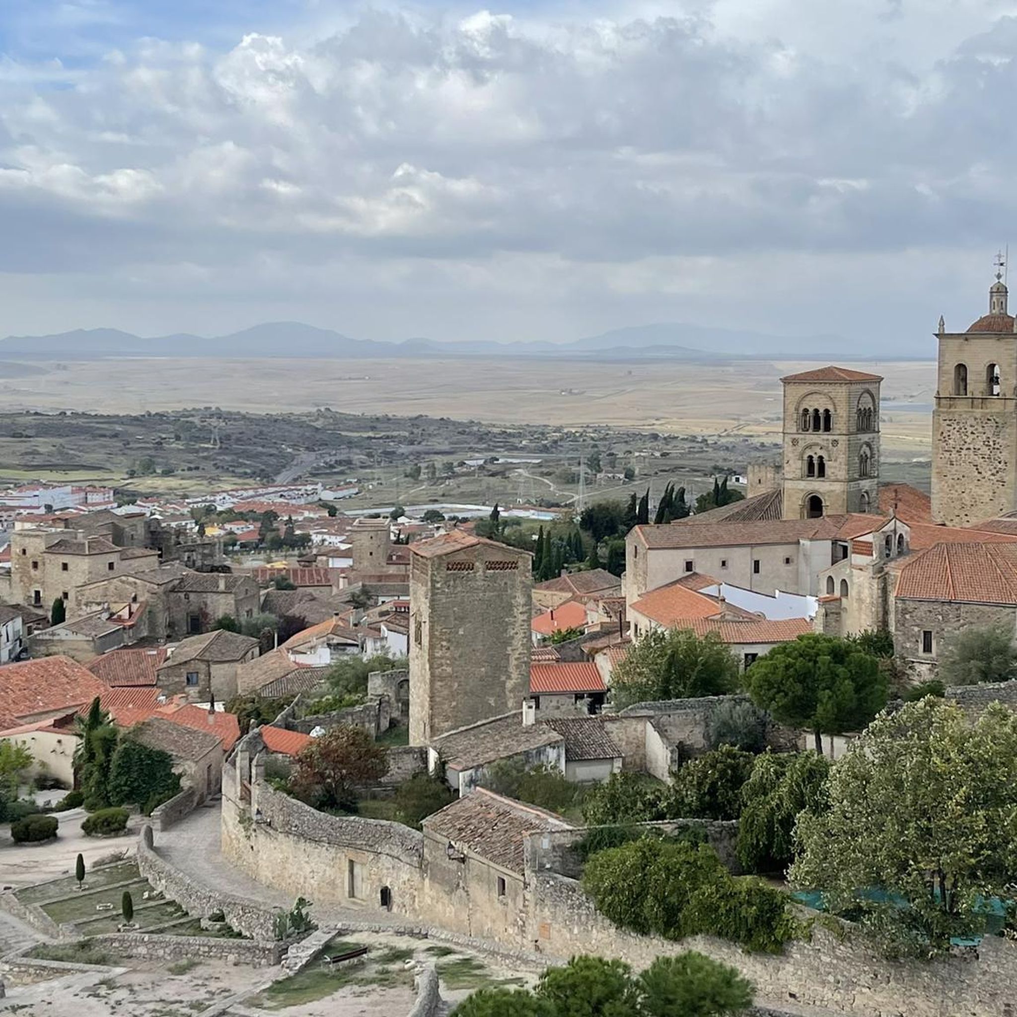
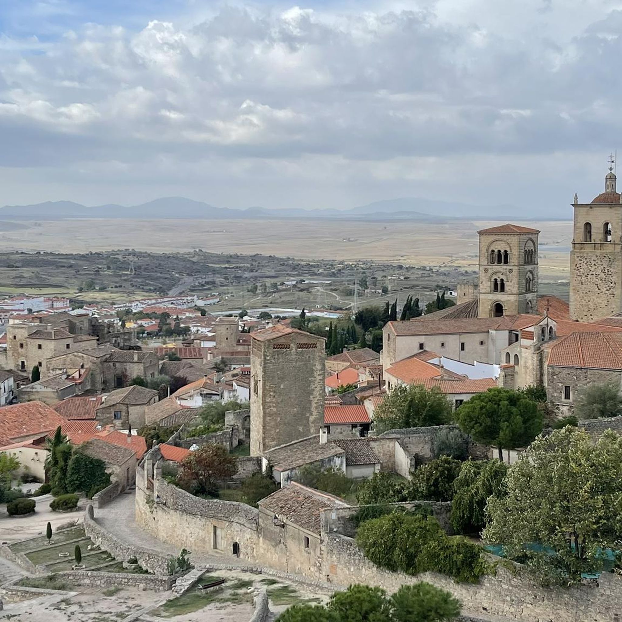
Zorita is a Spanish town and municipality in the province of Cáceres, in the autonomous community of Extremadura. It belongs to the judicial district of Logrosán and the Central Zone community. Zorita sits on flat terrain with some elevation changes, such as Mount Peña and Mount Cabeza del Águila. It is worth noting the steep slopes in a significant part of the municipality, sometimes exceeding 20%. The population of Zorita has evolved very similarly to that of other Extremadura municipalities. While its growth was gradual until the middle of the century, there has been a general downward trend since then. Emigration has hit this town so hard that it has managed to reduce its population by half in just over 10 years. While in 1950 Zorita had 6,482 inhabitants, in 1970 this figure was 3,627. Currently, the population is tending to stabilize, attempting to overcome the significant decline of those years. Heritage: Parish Church of San Pablo. Fuente Santa Chapel and 17th-century Temple. The Pareaños of Malillo.
10
0
The San Gregorio cliff has a height of 844m and is considered to be the best window to observe the environment. One of its great potentials is that it offers the visitor enormous views, being able to see on clear days an interesting perspective of the distant Gredos mountains.
10
0

Miajadas is a large regional town in the center of Extremadura. Like many other towns in the region, it has a deep history. The most notable monument is the parish church of Santiago Apóstol. The town has become the largest agri-food industry in all of Spain and is known as the European Tomato Capital.
1
1

Old water pipes for the town of Santa Cruz de la Sierra. They stopped being used around the 16th century due to a lack of agreement on their maintenance.
1
0
Frequently Asked Questions
What kind of terrain can I expect on hiking trails around Abertura?
Hiking around Abertura features a landscape of open plains, rolling hills, and areas of oak woodlands. Trails often traverse agricultural lands and natural areas, with generally gentle slopes and occasional water features. The varied geology and vegetation provide diverse natural surroundings for exploration.
Are there any easy hiking trails suitable for beginners in Abertura?
Yes, Abertura offers at least one easy trail. The Hiking loop from Miajadas is a 5.8 km route with minimal elevation gain, typically completed in about 1 hour 31 minutes, making it a good option for a relaxed walk.
How many hiking routes are available in the Abertura region?
There are 5 hiking routes detailed for the Abertura region, ranging from easy to moderate difficulty. These routes offer various distances and elevations to suit different preferences.
What do other hikers say about the trails in Abertura?
The trails in Abertura are highly regarded by the komoot community, holding an average rating of 5.0 stars from 3 reviews. Over 50 hikers have explored the varied terrain, suggesting a positive experience for those visiting the area.
Are there any circular hiking routes in Abertura?
Yes, all the listed hiking routes in Abertura are circular. Examples include the Hiking loop from Santa Cruz de la Sierra and the Zorita loop from Zorita, allowing you to start and end your hike at the same point.
What are some notable landmarks or places to see near the hiking trails in Abertura?
While hiking in the Abertura area, you can explore nearby settlements like Zorita, Conquista de la Sierra, and Herguijuela. You might also encounter historical religious buildings such as the Church of Santiago Apóstol and Tomato Sculpture of Miajadas or the Church of Santiago de Miajadas.
What is the longest hiking trail available in Abertura?
The longest hiking trail in Abertura is the Zorita loop from Zorita, which spans 11.9 km and typically takes around 3 hours and 10 minutes to complete. This moderate route offers views of the local countryside.
Are there any moderate difficulty hikes for experienced walkers?
Yes, most of the trails in Abertura are classified as moderate. For example, the Hiking loop from Puerto de Santa Cruz is an 8.3 km route with an ascent of 380 meters, providing a good challenge for experienced walkers.
What is the typical duration for a hike in Abertura?
Hiking durations in Abertura vary depending on the route. Shorter, easier trails like the Hiking loop from Miajadas can be completed in about 1 hour 31 minutes, while longer, moderate routes such as the Zorita loop from Zorita may take over 3 hours.
What kind of natural features can be observed while hiking in Abertura?
Hikers in Abertura can observe diverse natural features including open plains, rolling hills, and oak woodlands. The region's varied geology and vegetation contribute to scenic vistas, and you may encounter occasional water features along the trails.
Is Abertura a good destination for exploring nature?
Abertura is an excellent destination for exploring nature, offering trails immersed in the heart of natural landscapes. The region encourages visitors to discover its many challenges and enjoy a relaxing contact with nature, with diverse surroundings ideal for exploration.
Most popular attractions around Abertura

Get inspired with the komoot mobile app


Explore more
Browse the best Hikes in other regions.
