The best running trails around Endrinal
4.0
(1)
60
runners
6
runs
Jogging routes around Endrinal offer a variety of terrain for runners. The region features a landscape with notable elevation changes, including hills and areas suitable for recreational activities. Running trails often traverse varied ground, providing opportunities for both moderate and more challenging workouts. These routes allow runners to explore the natural environment of Endrinal.
Best jogging routes around Endrinal
- The most popular jogging route is Pico Cervero and Honfrías Trail, a 11.7 miles (18.8 km) trail that takes 2…
Last updated: May 18, 2026
24
runners
18.8km
02:20
480m
480m
Jogging the difficult 11.7-mile Pico Cervero trail offers panoramic views and diverse forests in the Quilamas Natural Space.
15
runners
11.7km
01:22
310m
310m
Hard run. Very good fitness required. Mostly paved surfaces. Suitable for all skill levels.

Sign up for free
4.0
(1)
4
runners
8.88km
00:56
80m
80m
Moderate run. Good fitness required. Mostly paved surfaces. Suitable for all skill levels.
3
runners
13.0km
01:26
240m
240m
Moderate run. Good fitness required. Mostly paved surfaces. Suitable for all skill levels.
2
runners
9.84km
01:07
200m
200m
Moderate run. Good fitness required. Mostly paved surfaces. Suitable for all skill levels.
Our route recommendations are based on thousands of hikes, rides, and runs completed by other people on komoot.
Start today with a free account
Your next adventure awaits.
Login or Signup
Tips from the Community

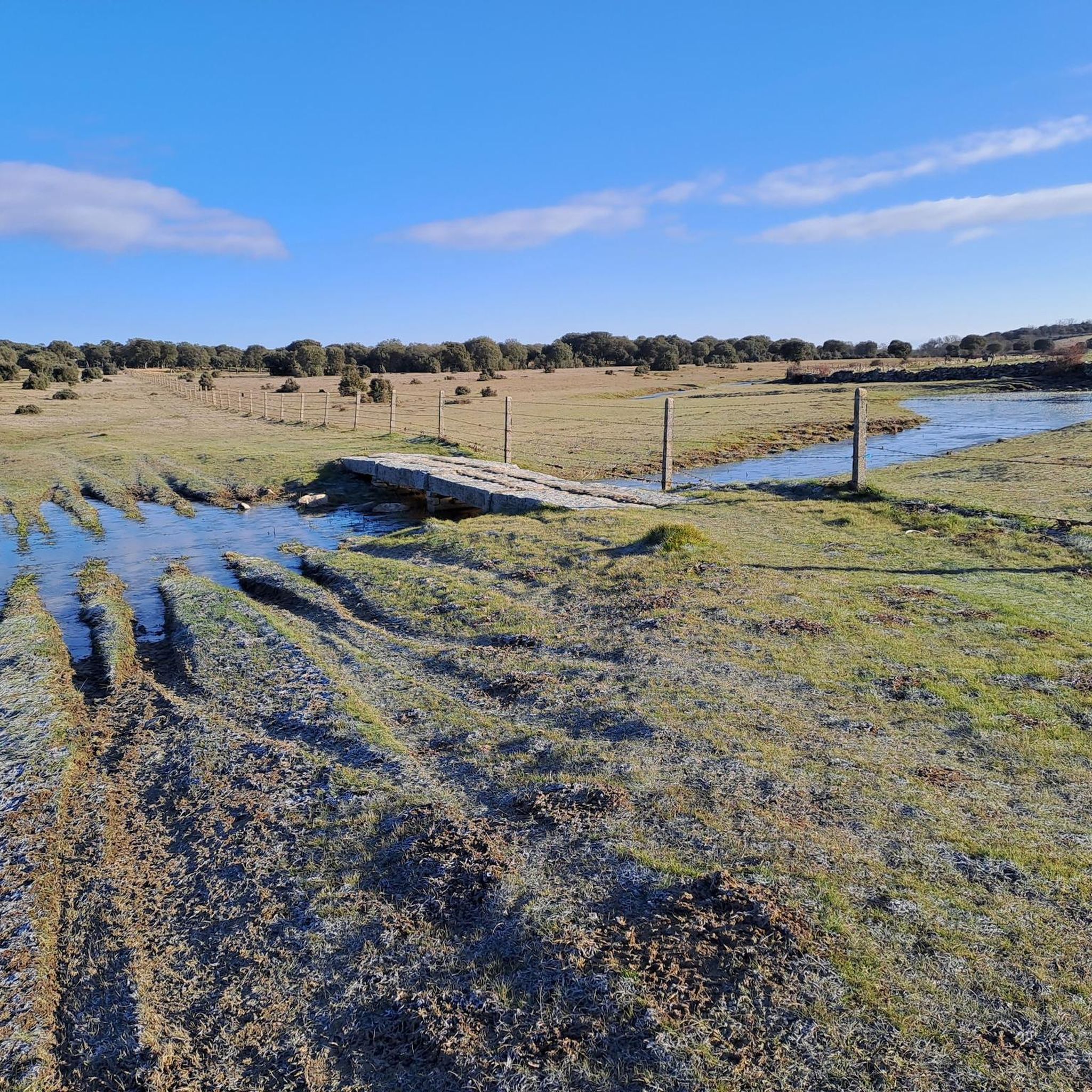
Located between the municipalities of Navarredonda de la Rinconada and Escurial de la Sierra, in the Sierra de Francia-Quilamas region. A protected natural area within the Natura 2000 network, with oak and chestnut forests and wildlife such as the golden eagle and griffon vulture.
5
0
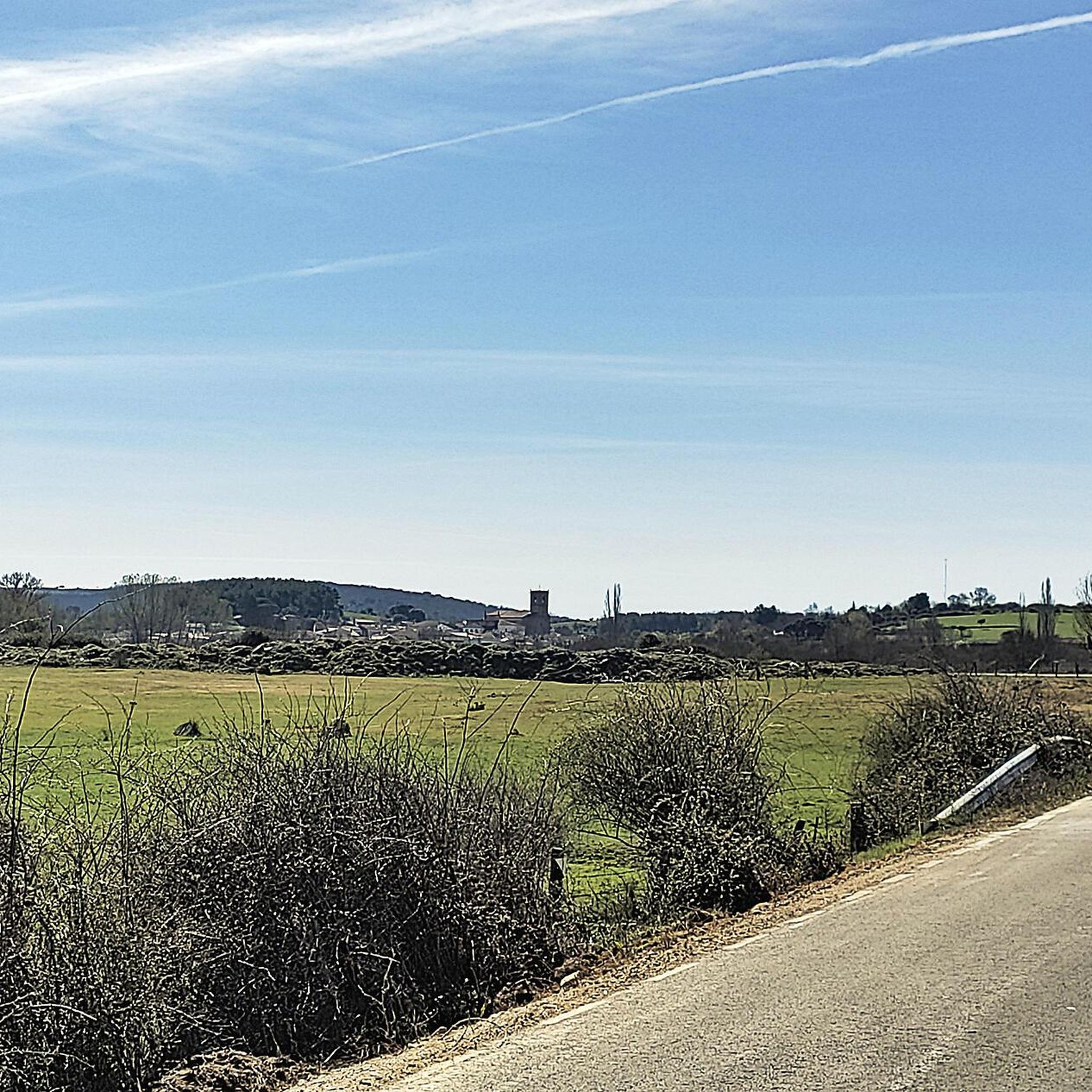
This is the tourist and gastronomic area of Guijuelo, considered the birthplace of acorn-fed Iberian ham with Protected Designation of Origin (PDO Guijuelo). More than 150 ham and cured meat producers are concentrated here. The cold, dry climate of the Sierra de Béjar favors a slow, natural curing process, giving the ham a sweeter, more unctuous flavor.
3
0

You cannot leave Guijuelo without eating its famous ham! The town is famous for the high quality of its hams and sausages from Iberian pigs. Although the meat comes largely from Extremadura and Andalusia, here it finds the perfect place for its curing, thanks to a characteristic cold and dry climate.
2
1

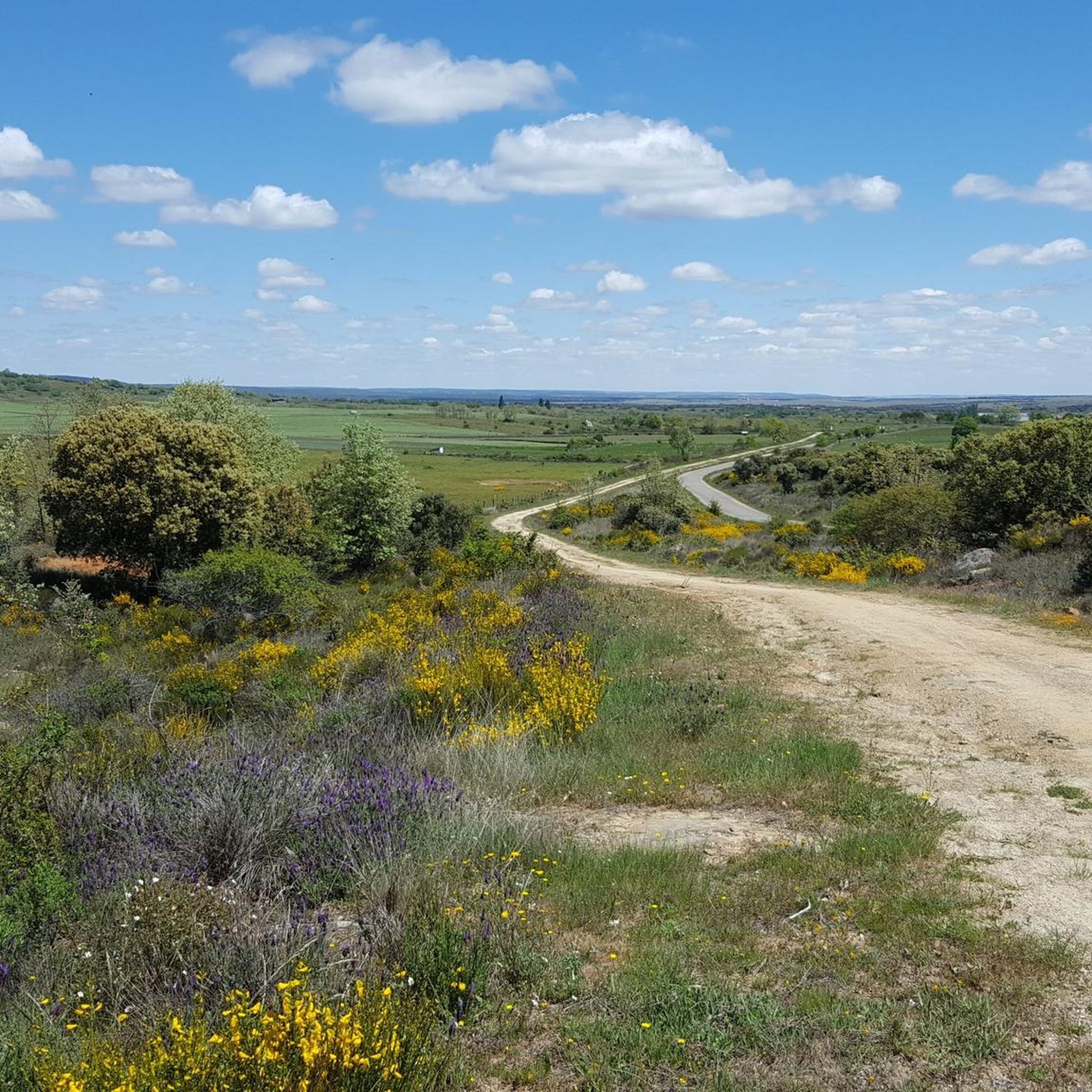
The top of Pico Cervero is located at 1,522 meters above sea level within the wonderful Natural Space of Las Quilamas. The ascent is demanding and depending on where you climb it from, it may have some technical sectors. From Linares de Riofrío you can follow the path through the Honfrías forest, a wonderful and picturesque place.
1
1

The most recommended times for this route are May, well into spring and autumn. The landscapes of the area with the trees covered with leaves are highly recommended, especially the forest of La Honfría.
1
0

Magical place, excellent 360º views (if it is not cloudy). It is worth the ascent both by mountain bike, gravel or walking.
1
0

Pico Cervero. Spectacular views of the entire Sierra de Francia
1
0
Frequently Asked Questions
What kind of terrain can I expect on running routes around Endrinal?
Running routes in Endrinal feature varied terrain, including notable elevation changes with hills and areas suitable for recreational activities. You'll find options ranging from moderate paths to more challenging climbs, offering diverse workouts.
How many running routes are available in the Endrinal area?
There are 6 distinct running routes documented around Endrinal. These include a mix of moderate and difficult trails, catering to different fitness levels.
Are there any easy running routes for beginners in Endrinal?
While the guide highlights routes with moderate to difficult ratings, the region's varied terrain means some sections might be more accessible. For a moderate option, consider the Guijuelo Jamón District loop from Antigua Estación de Guijuelo, which is 3.9 miles (6.2 km) long.
What are some of the longer running trails in Endrinal?
For a longer challenge, the Pico Cervero and Honfrías Trail spans 11.7 miles (18.8 km) and involves significant elevation gain. Another substantial option is the Running loop from Monleón, which is 12.9 km (8 miles).
Are there any circular running routes in Endrinal?
Yes, several routes are designed as loops. For example, the Alto del Guijarral – Mirador de Bajenoso loop from San Esteban de la Sierra is a difficult 7.2 miles (11.6 km) path offering scenic viewpoints. Another is the La Honfría Recreation Area loop from Linares de Riofrío.
What do other runners think about the trails in Endrinal?
The running routes in Endrinal are highly rated by the komoot community, with an average score of 4.0 stars from over 1 review. More than 50 runners have used komoot to explore the varied terrain, often praising the challenging climbs and scenic sections.
Are there any points of interest or attractions near the running routes in Endrinal?
Yes, there are several interesting spots nearby. You could explore the Granite Theme Park, or visit the Guijuelo Jamón District. For those interested in climbs, the Ascent to Puerto de Valero and Climb to Frades de la Sierra are also in the vicinity.
What is the typical duration for running routes in Endrinal?
The duration varies significantly depending on the route's length and difficulty. For instance, the Pico Cervero and Honfrías Trail typically takes around 2 hours 19 minutes, while the shorter Guijuelo Jamón District loop can be completed in about 39 minutes.
Are there any running routes that offer scenic viewpoints?
Yes, the Alto del Guijarral – Mirador de Bajenoso loop from San Esteban de la Sierra is specifically noted for its scenic viewpoints, making it a great choice for runners who enjoy picturesque surroundings.
What are the elevation gains like on the running trails in Endrinal?
Endrinal's terrain includes notable elevation changes. For example, the difficult Pico Cervero and Honfrías Trail features an elevation gain of over 477 meters, providing a challenging workout for runners seeking significant climbs.
Most popular attractions around Endrinal

Get inspired with the komoot mobile app


Explore more
Browse the best Running Trails & Routes in other regions.
