The best running trails around El Tornadizo
83
runners
9
runs
Jogging around El Tornadizo offers diverse natural landscapes and varied terrain. The region is characterized by its location within the Sierra de Francia-Quilamas, featuring forests of oak and chestnut, and includes areas like the Las Batuecas-Sierra de Francia Natural Reserve. Elevation changes are present, with routes extending into mountain ranges such as Sierra de Gredos and Sierra de Candelario, providing options for different fitness levels. Joggers can experience paths that wind through protected natural areas and lead to summits like…
Last updated: October 31, 2026
26
runners
18.8km
02:20
480m
480m
26
runners
18.9km
02:16
500m
500m
Hard run. Very good fitness required. Mostly paved surfaces.

15
runners
11.7km
01:22
310m
310m
Hard run. Very good fitness required. Mostly paved surfaces.
14
runners
7.56km
00:51
180m
180m
Moderate run. Good fitness required. Mostly paved surfaces.
4
runners
Hard run. Very good fitness required. Mostly paved surfaces.
Get access to more routes and recommendations from other explorers.
Already have an account?
Our route recommendations are based on thousands of hikes, rides, and runs completed by other people on komoot.
Start today with a free account
Your next adventure awaits.


Tips from the Community

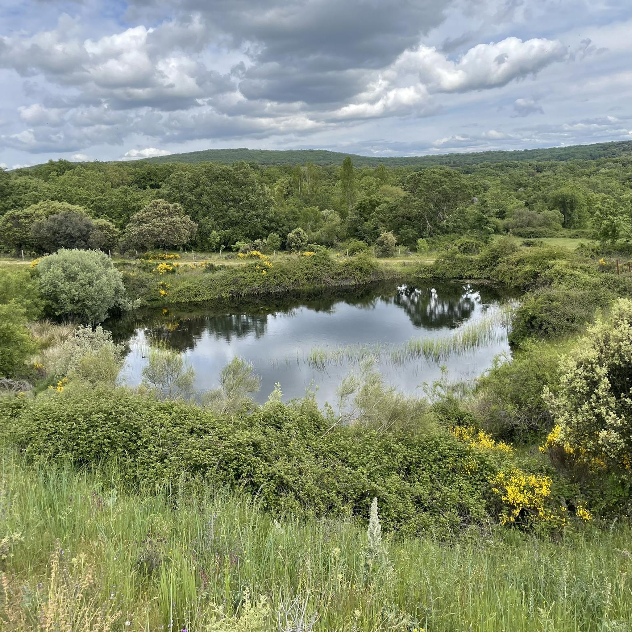
Located between the municipalities of Navarredonda de la Rinconada and Escurial de la Sierra, in the Sierra de Francia-Quilamas region. A protected natural area within the Natura 2000 network, with oak and chestnut forests and wildlife such as the golden eagle and griffon vulture.
6
0

The top of Pico Cervero is located at 1,522 meters above sea level within the wonderful Natural Space of Las Quilamas. The ascent is demanding and depending on where you climb it from, it may have some technical sectors. From Linares de Riofrío you can follow the path through the Honfrías forest, a wonderful and picturesque place.
1
1

The most recommended times for this route are May, well into spring and autumn. The landscapes of the area with the trees covered with leaves are highly recommended, especially the forest of La Honfría.
1
0

Magical place, excellent 360º views (if it is not cloudy). It is worth the ascent both by mountain bike, gravel or walking.
1
0

El Cervero is the highest peak in the Sierra de las Quilamas, with an altitude of 1465 meters
1
0
Pico Cervero. Spectacular views of the entire Sierra de Francia
1
0
Frequently Asked Questions
What kind of terrain can I expect on running routes around El Tornadizo?
The region offers a diverse range of natural landscapes, from forests of oak and chestnut within the Sierra de Francia-Quilamas to more challenging mountain ranges like Sierra de Gredos and Sierra de Candelario. You'll find paths with varied elevation changes, suitable for different fitness levels, including routes that wind through protected natural areas.
Are there running routes suitable for beginners in El Tornadizo?
While many routes feature significant elevation, there are moderate options available. For example, the Running loop from Monleón is a moderate 8.1-mile (13.0 km) trail that offers varied terrain without extreme difficulty. Another moderate option is the La Honfría Recreation Area loop from Linares de Riofrío, which is 10.8 km long.
Which running routes offer the best panoramic views in El Tornadizo?
For breathtaking vistas, consider the Alto del Guijarral – Mirador de Bajenoso loop from San Esteban de la Sierra. This route provides panoramic views from viewpoints like Mirador de Bajenoso. Additionally, the climb to Cervero Peak, accessible via the Pico Cervero and Honfrías Trail, rewards runners with expansive views of the surrounding valleys and scenery.
Can I combine my run with cultural or historical sights in El Tornadizo?
Absolutely! The region is rich in cultural heritage. You can explore the Granite Theme Park, which features monumental granite sculptures and megalithic recreations. The picturesque village of Miranda del Castañar, with its charming streets and castle, also offers an appealing urban landscape for a varied running route or a scenic detour. The 'Art in Nature Trails' in the Sierra de Francia also blend physical activity with unique artistic installations.
Are there any circular running routes available near El Tornadizo?
Yes, several circular routes are available. The Alto del Guijarral – Mirador de Bajenoso loop from San Esteban de la Sierra and the Running loop from Monleón are popular circular options. The Las Batuecas-Sierra de Francia Natural Reserve also features several circular routes that combine natural beauty with artistic installations.
What are some challenging running trails for experienced runners in the area?
For those seeking a more strenuous experience, the Pico Cervero and Honfrías Trail is a difficult 11.7-mile (18.8 km) route with significant elevation gain. The Sierra de Gredos and Sierra de Candelario mountain ranges also provide challenging routes with alpine views and stunning glacial lakes for advanced runners.
How many running routes are available in El Tornadizo?
There are 6 dedicated running routes detailed in this guide for El Tornadizo, offering a variety of distances and difficulties to explore the region's natural beauty.
Is El Tornadizo a good destination for dog-friendly running?
El Tornadizo's diverse natural landscapes, including forests and natural reserves, generally offer a welcoming environment for running with dogs. Many trails are unpaved and pass through natural areas, which are often suitable for well-behaved, leashed dogs. Always check local regulations for specific protected areas like the Las Batuecas-Sierra de Francia Natural Reserve.
What is the best time of year for running in El Tornadizo?
The region is appealing for outdoor activities throughout much of the year. Spring and autumn generally offer pleasant temperatures for running. Summer can be warm, especially at lower elevations, so early morning or late afternoon runs are advisable. Winter running is possible, particularly on lower trails, but higher mountain routes may require appropriate gear for colder conditions.
Are there any specific natural landmarks to look out for while jogging?
Yes, the region is rich in natural landmarks. You can run through diverse forests of oak and chestnut in the Sierra de Francia-Quilamas, an area protected by the Natura 2000 network. The Cervero Peak offers panoramic views, and the Las Batuecas-Sierra de Francia Natural Reserve is a UNESCO Biosphere Reserve with unique natural heritage. The Navalperal de Pinares Reservoir also provides peaceful landscapes.
Are there family-friendly running options in El Tornadizo?
While many routes have moderate to difficult ratings, families looking for gentler runs or walks can adapt some of the less strenuous trails. The region's natural beauty, including areas like the Navalperal de Pinares Reservoir, offers peaceful settings for outdoor activities that can be enjoyed by families, potentially adapting longer routes into shorter, more manageable segments.
Most popular attractions around El Tornadizo

Get inspired with the komoot mobile app


Explore more
Browse the best Running Trails & Routes in other regions.
