The best mountain hikes around Valmala
15
hikers
3
hikes
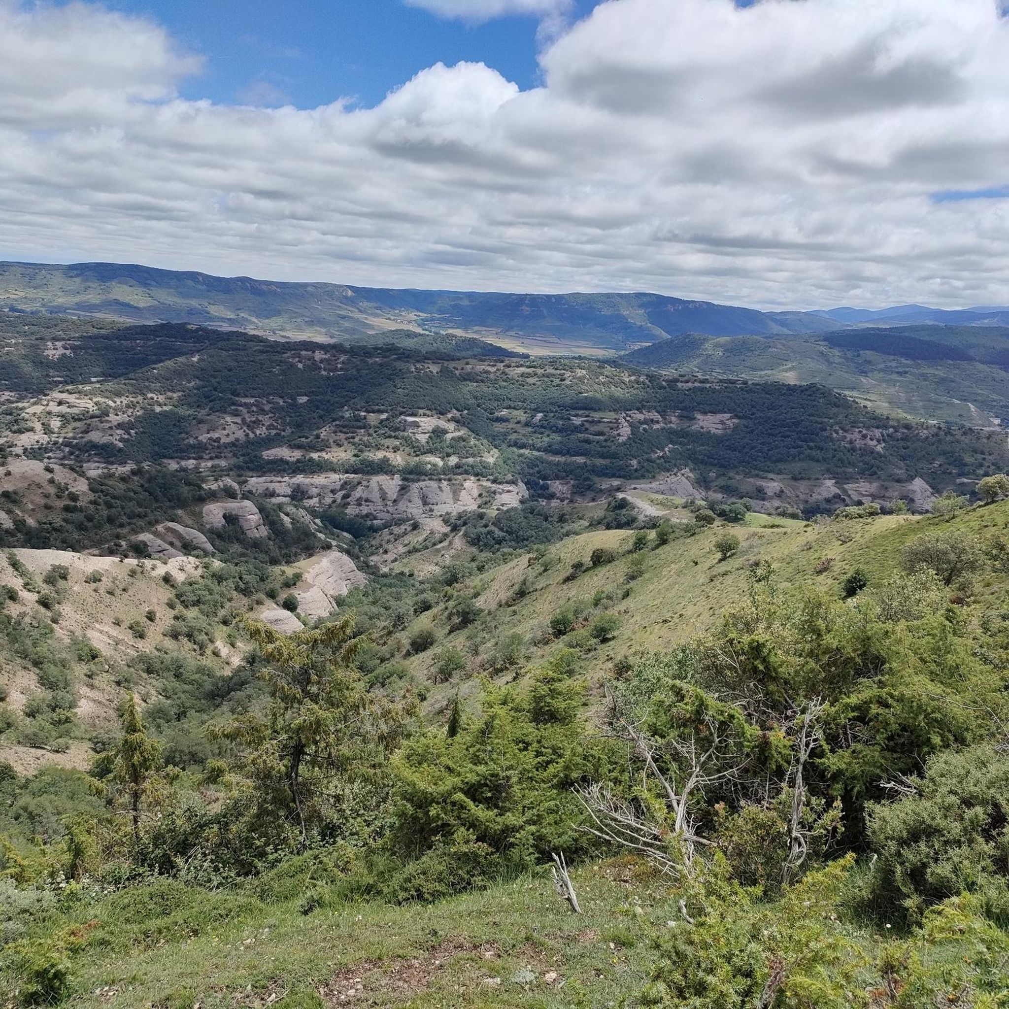
Mountaineering routes around Valmala are characterized by diverse alpine landscapes within the Val di Valles valley and the Fundres Mountains. The region features prominent peaks, such as Cima di Valmala, with slopes that remain green and vegetated up to high elevations. This terrain provides varied challenges and scenic views for mountaineers.
Best mountaineering routes around Valmala
- The most popular mountaineering route is San Millán (2,131 m) – Zarcia Recreation Area loop from Refugio de Zárcia, a 9.1 miles (14.6…
Last updated: June 30, 2026
10
hikers
14.6km
06:20
1,110m
1,110m
Hard mountaineering route. Very good fitness required. Mostly accessible paths. Sure-footedness required.
3
hikers
6.14km
02:34
480m
480m
Moderate mountaineering route. Good fitness required. Easily-accessible paths. Suitable for all skill levels.

Sign up for free
1
hikers
Moderate mountaineering route. Good fitness required. Easily-accessible paths. Suitable for all skill levels.
1
hikers
9.98km
03:57
720m
730m
Moderate mountaineering route. Good fitness required. Easily-accessible paths. Suitable for all skill levels.
Our route recommendations are based on thousands of hikes, rides, and runs completed by other people on komoot.
Start today with a free account
Your next adventure awaits.
Login or Signup
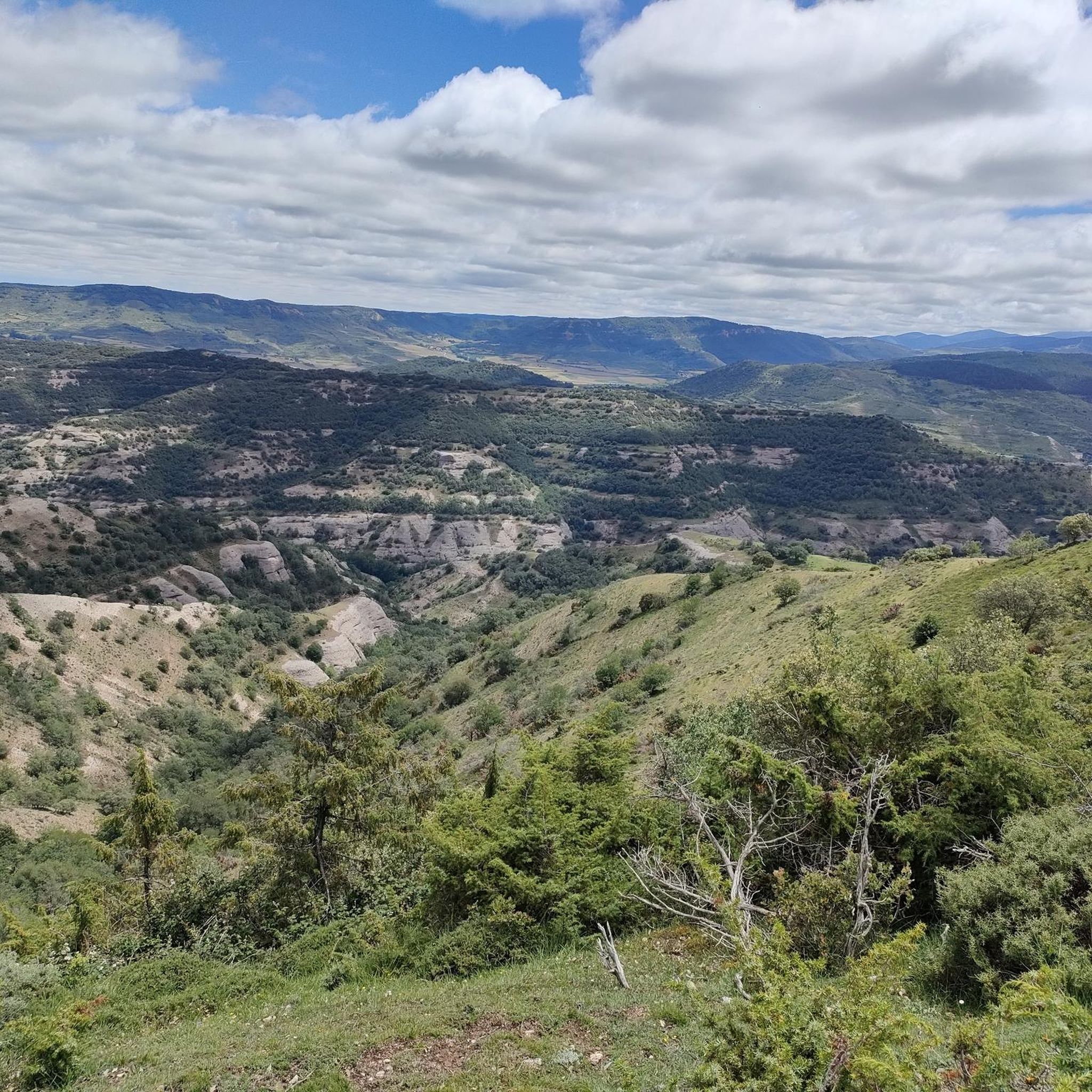
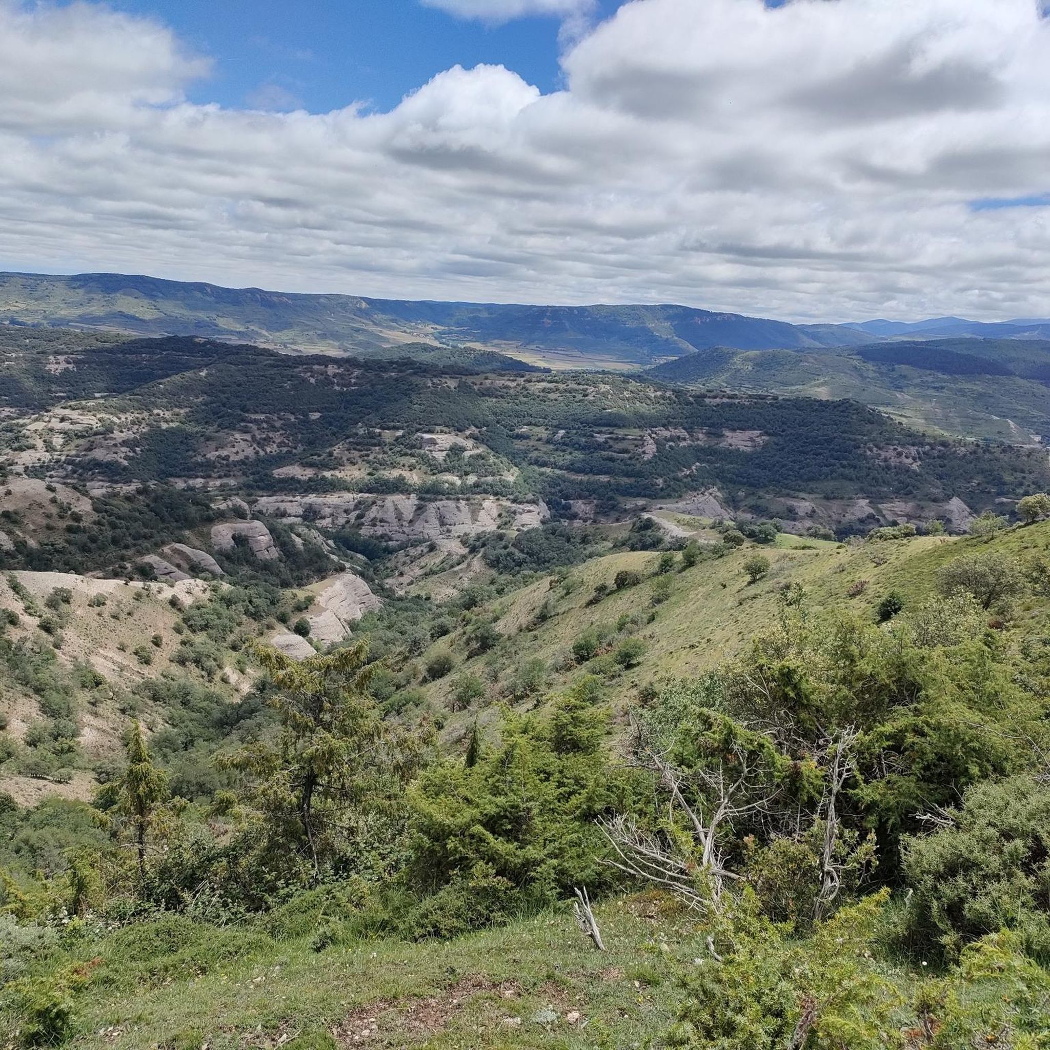
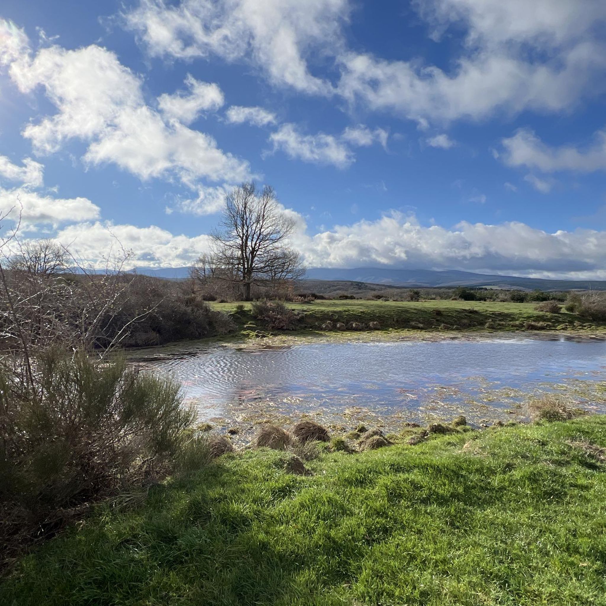
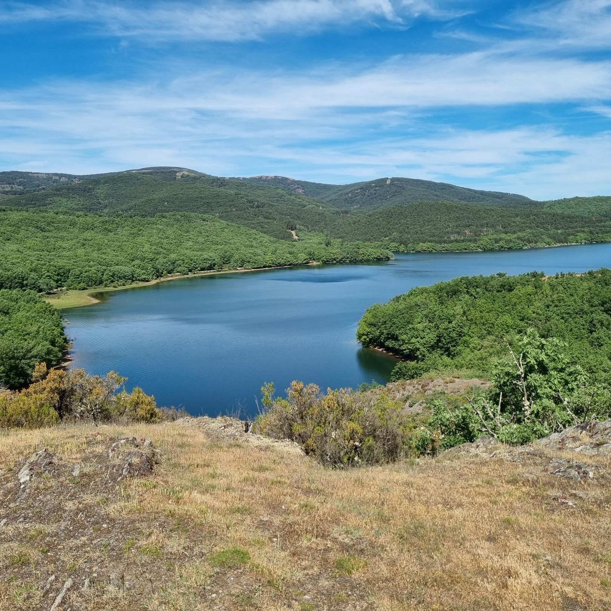
Tips from the Community

Spectacular area for hiking routes
0
0
a highly recommended area for hiking.
0
0

There are many routes, both easy and difficult, to choose from. The Sierra is very beautiful, especially in autumn.
0
0

The path leaves El Portillo on the east side, goes up a few meters along a channel and enters the north side. If the mountain has snow, this section is dangerous because the cold and shady conditions keep the path icy and the fall is fatal; crampons and ice axes would be essential. The alternative is to climb directly along the channel on the east face, with less slope, sunnier and direct to the summit of San Millán (2,131 m), also called El Torruco. At the top there is a small circular stone tower adorned with a metal house and other festival motifs left by mountaineers. The southern slope of the mountain is a large mass of gentle slopes with no remains of glacial activity towards the valley of the Arlanzón River. The descent continues along the west face, enjoying extraordinary views of the Urbión River valley and the glacial cirque where the San Millán lagoon appears half frozen.
0
0
The Zarcia Recreational Zone is 2.8 kilometers from Santa Cruz del Valle Urbión along a dirt track suitable for cars, there are some potholes but with care they do not present problems. At the entrance to the picnic areas there is room for three or four cars and 150 meters before arriving there is space for many more. The route begins along the main path of the Urbión River valley, passes through a detour and after one kilometer the Altuzarra waterfalls path appears on the right, which is the return route. The path does not present orientation complications, it follows the course of the water to the head of the valley. In several sections you have to cross the riverbed or walk along the small islands that the torrent forms when there is a lot of flow, always among beech trees, holly trees, yew trees and the riverside scrub that seeks the humidity and wild environment of the glacial valley. Some reference points are the Refugio de Laguarra cabin and shortly after the crossroads where the Mirador de Domingo Sevilla trail leaves on the right, which is also a shortcut to get directly to the Altuzarra waterfalls without passing through the summit of the mountain. . On the opposite bank of the ravine is the “most famous beech tree in Burgos”, as indicated by a sign stuck on a stone near the monumental tree.
0
0

From the top of Pico Mencilla, you can see Pico Trigaza and San Millan
1
0

Small mountain village. Picturesque. There is a nice café here for a break. There aren't really many cafes here. So you should stop by.
2
0
Really a nice photo opportunity. In the village is a nice little café ideal for a break.
2
0
Frequently Asked Questions
How many mountaineering routes are available in Valmala?
Valmala offers several mountaineering routes, with four highly-rated options detailed in this guide. These routes provide diverse experiences across the alpine landscapes of the Val di Valles valley.
What kind of terrain can I expect on mountaineering routes in Valmala?
Mountaineering in Valmala features diverse alpine landscapes within the Val di Valles valley and the Fundres Mountains. You'll encounter prominent peaks, notably Cima di Valmala, with slopes that remain green and vegetated up to high elevations, offering varied challenges and scenic views.
Are there any challenging mountaineering routes in Valmala?
Yes, for experienced mountaineers seeking a challenge, the San Millán (2,131 m) – Zarcia Recreation Area loop from Refugio de Zárcia is a difficult route. It spans 14.6 km with over 1,100 meters of elevation gain, typically taking around 6 hours 20 minutes to complete through alpine terrain.
Are there moderate mountaineering options for those looking for a less strenuous climb?
Absolutely. Valmala offers several moderate routes. A popular choice is the Campo de los Corros – Mencilla loop from Valle del Sol, which is 6.1 km long with about 476 meters of elevation gain, making it a more accessible option through varied mountain scenery.
What are some notable viewpoints or natural features along the mountaineering routes?
From the summit of Cima di Valmala, you can enjoy breathtaking panoramic views of neighboring peaks like Gran Pilastro, Hochferner, and Punta Bianca in the Zillertal Alps, with vistas extending to the Dolomites on clear days. You might also encounter the Beautiful views over the Arlanzón reservoir, a highlight near some routes.
Are there any interesting landmarks or attractions near the mountaineering trails?
Yes, the area around Valmala offers several points of interest. You could visit the Monte de la Pedraja Memorial or explore the charming settlement of Pineda de la Sierra. The Puerto del Manquillo also offers scenic views as a mountain pass.
What is the best time of year for mountaineering in Valmala?
Valmala caters to outdoor enthusiasts year-round. During the warmer months, it's a popular spot for mountain hiking. In winter, the area transforms into a favored destination for ski touring, attracting alpinists seeking snow-covered challenges. Always check local weather conditions before heading out.
Are there any circular mountaineering routes in Valmala?
Yes, many of the routes in Valmala are designed as loops, allowing you to start and end at the same point. For example, the Campo de los Corros – Cabeza Plantizo loop from Pineda de la Sierra is a moderate 9.5 km circular route, perfect for experiencing the region's beauty without retracing your steps.
What do other mountaineers enjoy most about the routes in Valmala?
Mountaineers often praise the prominent peaks, the unique green alpine slopes that extend to high elevations, and the panoramic views of neighboring mountain ranges. The diverse network of routes also offers options for various ability levels, from moderate ascents to more challenging climbs.
Are there any routes that pass through cultural or historical sites?
The mountain hike to Cima di Valmala often includes a route through the picturesque Fane Alpine village, offering a cultural and scenic stop along the way. This provides a unique blend of natural beauty and local heritage.
Are there any mountain huts or refuges along the mountaineering routes in Valmala?
Yes, the Rif. Bressanone mountain hut is a significant point on many mountaineering routes in the area. It provides a potential resting point or a base for ascents, offering a convenient stop during your adventure.
Can I find routes with significant elevation gain in Valmala?
Certainly. For those looking for substantial elevation gain, the Campo de los Corros – Mencilla loop from Pineda de la Sierra, for instance, involves over 720 meters of ascent over 11.2 km, leading through mountain passes and open slopes.
Most popular attractions around Valmala

Get inspired with the komoot mobile app


Explore more
Browse the best Mountain Hikes & Routes in other regions.
