The best cycling routes around Valdecasa
13
riders
4
rides
Touring cycling routes around Valdecasa are set within a mountainous landscape characterized by significant granite formations in the province of Ávila, Spain. The region offers diverse topography, including the Sierra de Ávila and the Amblés Valley, providing varied terrain for cyclists. Elevated points and mountain passes, such as Las Fuentes Pass, offer panoramic views of the surrounding areas. This environment presents challenging routes with notable elevation gains.
Best touring cycling routes around Valdecasa
- The most popular touring cycling route is…
Last updated: June 30, 2026
4
riders
27.8km
02:06
340m
340m
Moderate bike ride. Good fitness required. Mostly paved surfaces. Suitable for all skill levels.
4
riders
28.2km
02:08
360m
360m
Moderate bike ride. Good fitness required. Mostly paved surfaces. Suitable for all skill levels.

Sign up for free
2
riders
23.5km
02:18
620m
610m
Hard bike ride. Very good fitness required. Mostly paved surfaces. Suitable for all skill levels.
2
riders
56.3km
04:23
910m
910m
Hard bike ride. Very good fitness required. You may need to push your bike for some segments of this route.
1
riders
38.6km
03:19
510m
510m
Hard bike ride. Very good fitness required. Mostly paved surfaces. Suitable for all skill levels.
Our route recommendations are based on thousands of hikes, rides, and runs completed by other people on komoot.
Start today with a free account
Your next adventure awaits.
Login or Signup
Popular around Valdecasa
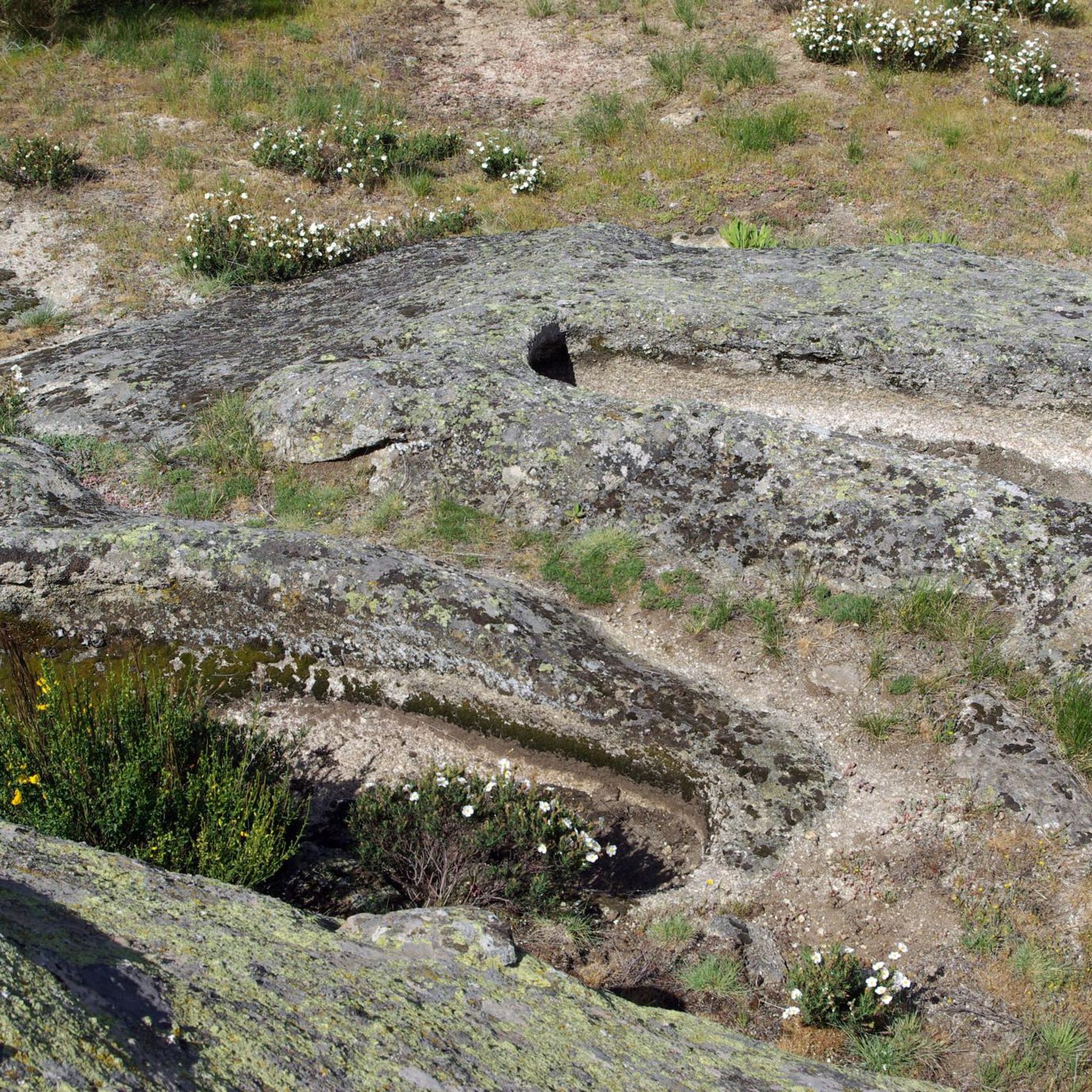
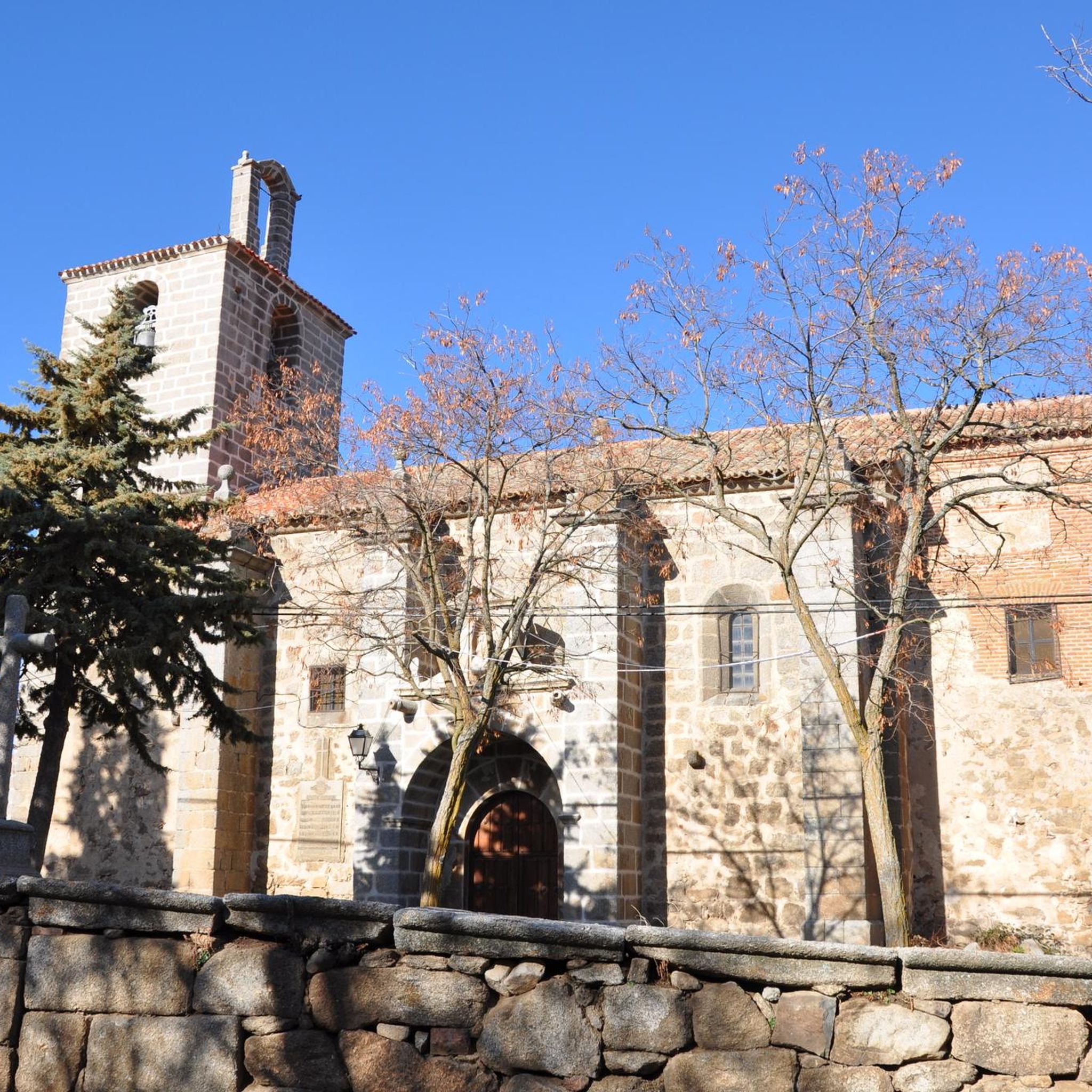
Tips from the Community

From Puerto de Villatoro itself, a road appears in a northerly direction that goes towards the center of Villanueva del Campillo, with impressive views of the area.
0
0
Small town that is located at the foot of the northern side of the Sierra de Ávila and that the center is governed by the parish church of San Juan Bautista. It is worth taking a stroll through its streets.
1
0
Rounded mountain range that is easily accessible from several towns. From the geodesic vertex there are impressive front-row views of the Sierra de la Paramera, La Serrota, the Amblés valley to the south and all of La Moraña to the north.
1
0
Small town that is located in what is called the Valle de Amblés and that is a few kilometers from its capital, Ávila. From the core, you can begin to see the first forms of the Sierra de Paramera and Gredos.
0
0

Good asphalt roads from blascojimeno and gravel roads from mancera
0
1
Beautiful church located in the town of Mancera de Arriba. This one, made of stone from the area, has flagged the core since a long time ago.
0
0
The relief of the municipality is formed by two mountainous areas separated by the Amblés valley, through which the Adaja river runs, which is born in the territory. The northern area is called Sierra de Villanueva, a branch of the Sierra de Ávila.
0
0
Mountain pass located in the center of the province of Ávila and which is 1,499 meters above sea level and connects the Amblés valley with San Juan del Olmo and the Muñico valley.
0
0
Frequently Asked Questions
What kind of terrain can I expect on touring cycling routes in Valdecasa?
Touring cycling routes around Valdecasa are characterized by a mountainous landscape with significant granite formations. You can expect challenging terrain with notable elevation gains, including mountain passes like Las Fuentes Pass, offering both physical challenges and panoramic views.
Are there any easy touring cycling routes suitable for beginners around Valdecasa?
The touring cycling routes around Valdecasa tend to be moderate to difficult due to the mountainous terrain and elevation changes. Currently, there are no routes classified as easy. The two moderate routes, such as Muñogalindo – Oco Village Water Pond loop from Muñogalindo, offer a good introduction to the local countryside without extreme difficulty.
What are some scenic viewpoints or landmarks I can see along the touring cycling routes?
The region offers several scenic highlights. You can experience breathtaking panoramic views from elevated points like Cerro de Gorría, the highest point of the Sierra de Ávila. The Las Fuentes Pass also provides stunning vistas. Additionally, you might encounter historical sites such as the Ruins of Monasterio del Risco, adding cultural depth to your ride.
Are there any circular touring cycling routes available in Valdecasa?
Yes, all the touring cycling routes listed for Valdecasa are circular. Examples include the moderate Muñogalindo – Oco Village Water Pond loop from Muñogalindo and the more challenging Puerto de Villatoro – Las Fuentes Pass loop from La Torre, allowing you to start and end your ride in the same location.
What is the best time of year to go touring cycling in Valdecasa?
Given the mountainous terrain and potential for challenging conditions, spring and autumn are generally the most pleasant seasons for touring cycling in Valdecasa. These periods offer milder temperatures and less extreme weather compared to the heat of summer or the cold of winter, making the significant elevation gains more manageable.
How long do the touring cycling routes typically take to complete?
The duration of the routes varies depending on their length and difficulty. For instance, the moderate Oco Village Water Pond – Muñogalindo loop from Muñana, which is 17.6 miles (28.2 km) long, typically takes around 2 hours 10 minutes. Longer, more difficult routes like the Puerto de Villatoro – Las Fuentes Pass loop from La Torre (35.0 miles / 56.3 km) can take over 4 hours.
Are there any family-friendly touring cycling options or routes suitable for children?
Due to the mountainous landscape and the moderate to difficult grading of the routes, Valdecasa's touring cycling trails are generally more suited for experienced cyclists. There are currently no routes specifically classified as easy or family-friendly for younger children.
What do other touring cyclists enjoy most about cycling in Valdecasa?
Touring cyclists appreciate the challenging terrain and the stunning natural vistas offered by the region's mountainous landscape and granite formations. The quiet country roads and the opportunity to combine outdoor activity with historical exploration, such as visiting the Ruins of Monasterio del Risco, are also highly valued.
Are there options for parking near the touring cycling routes in Valdecasa?
While specific parking areas for each route are not detailed, the rural character of Valdecasa and its surrounding villages like Muñogalindo often provide opportunities for parking in or near the starting points of the routes. It's advisable to check local village parking options upon arrival.
Can I find cafes or pubs along the touring cycling routes in Valdecasa?
The routes often connect local villages, such as Muñogalindo, which may offer small local establishments like cafes or pubs. However, given the rural nature of the area, it's recommended to carry sufficient water and snacks, especially on longer rides, as amenities might be sparse between villages.
How many touring cycling routes are available around Valdecasa?
There are currently 4 touring cycling routes documented on komoot around Valdecasa, offering a range of moderate to difficult options for exploring the region's mountainous landscape.
Most popular routes around Valdecasa
Most popular attractions around Valdecasa

Get inspired with the komoot mobile app


Explore more
Browse the best Cycling routes in other regions.
