The best mountain hikes around Beas De Granada
2.0
(1)
7
hikers
1
hike
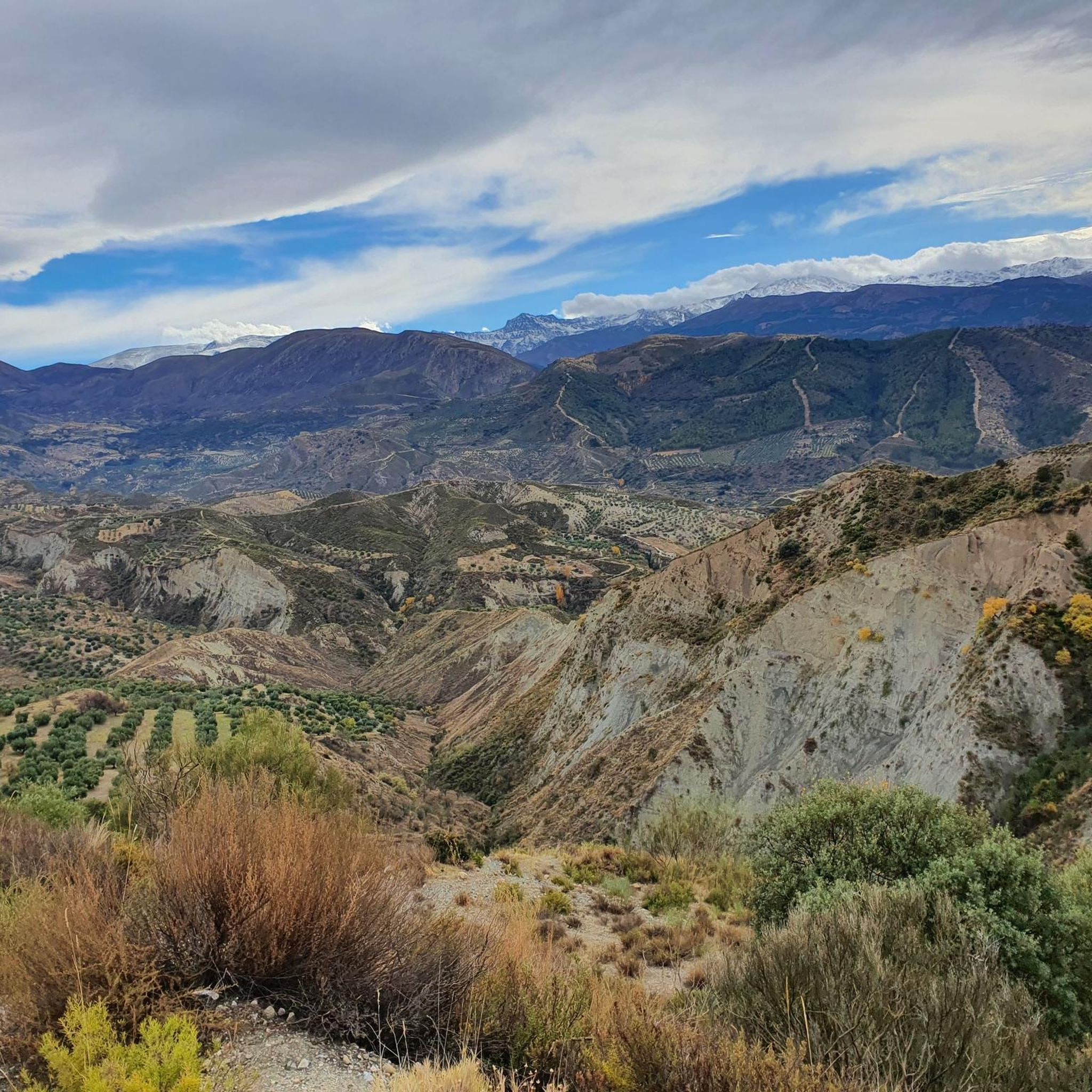
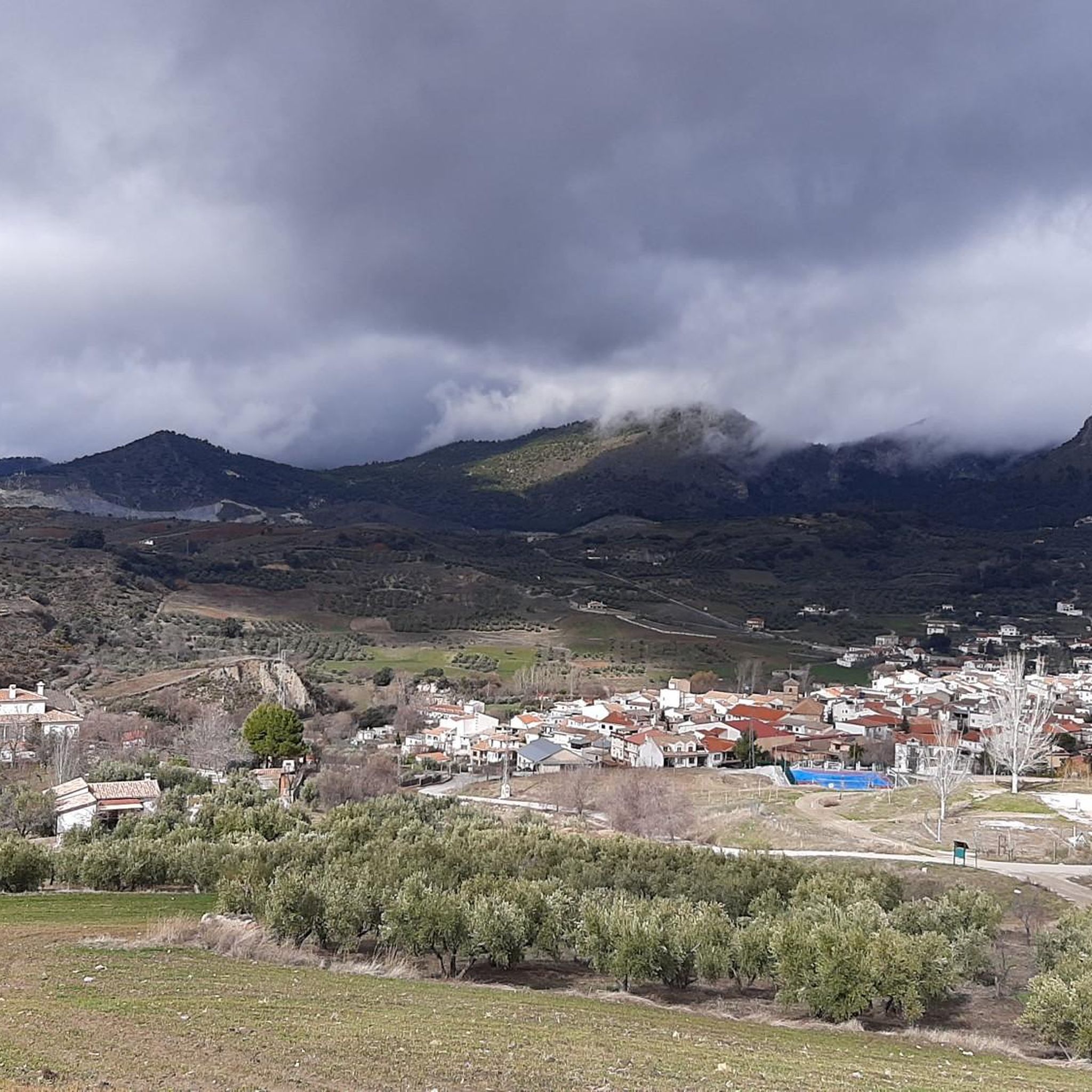
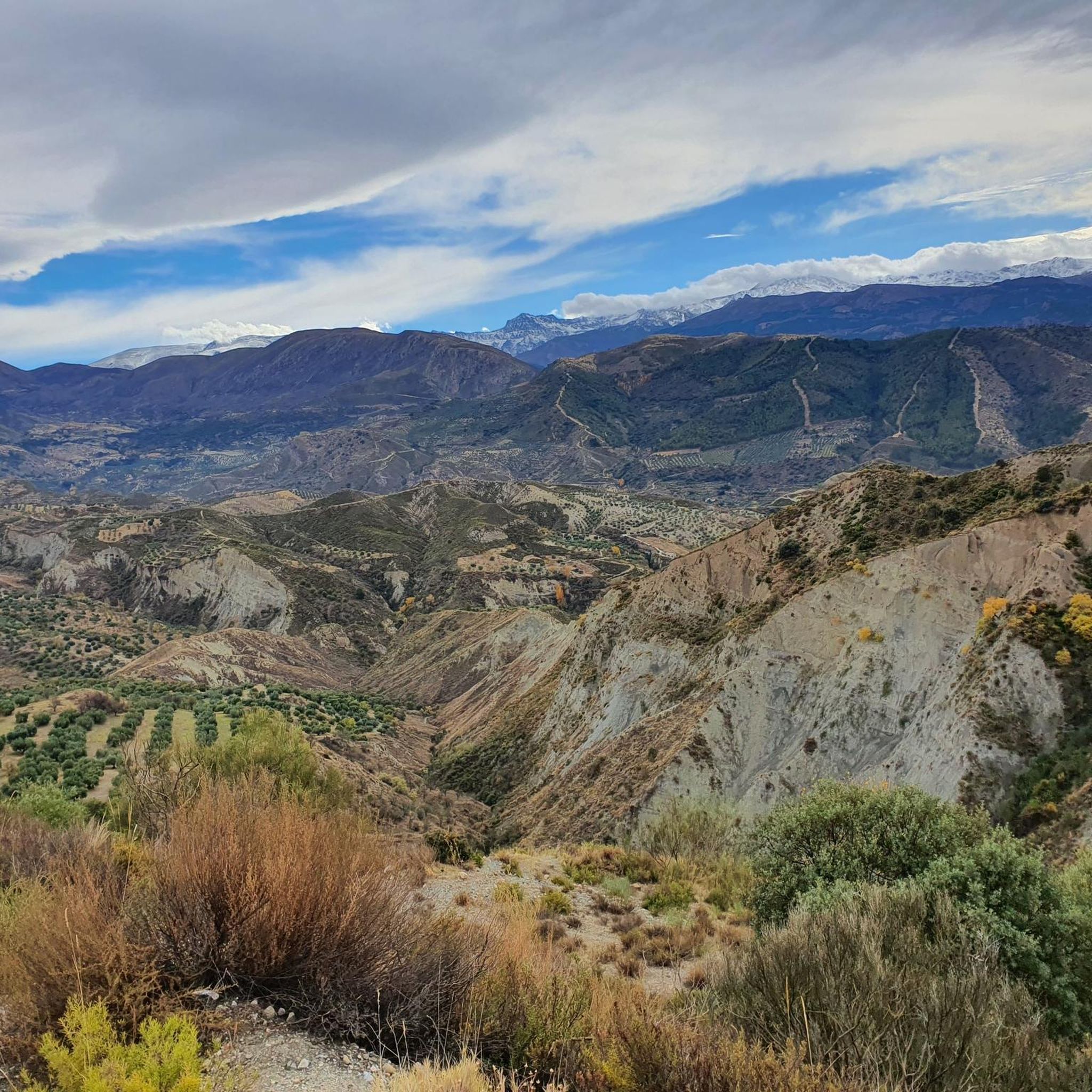
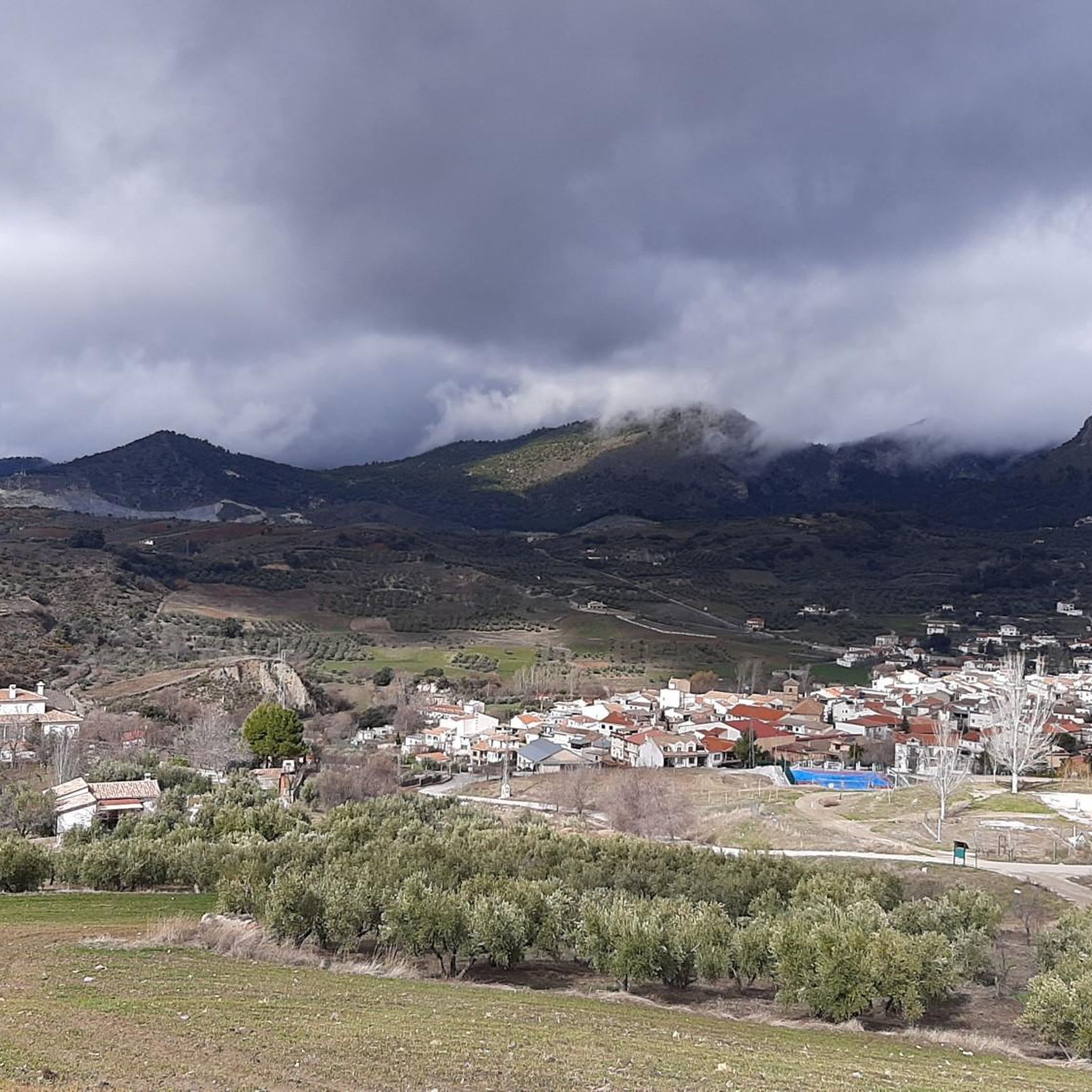
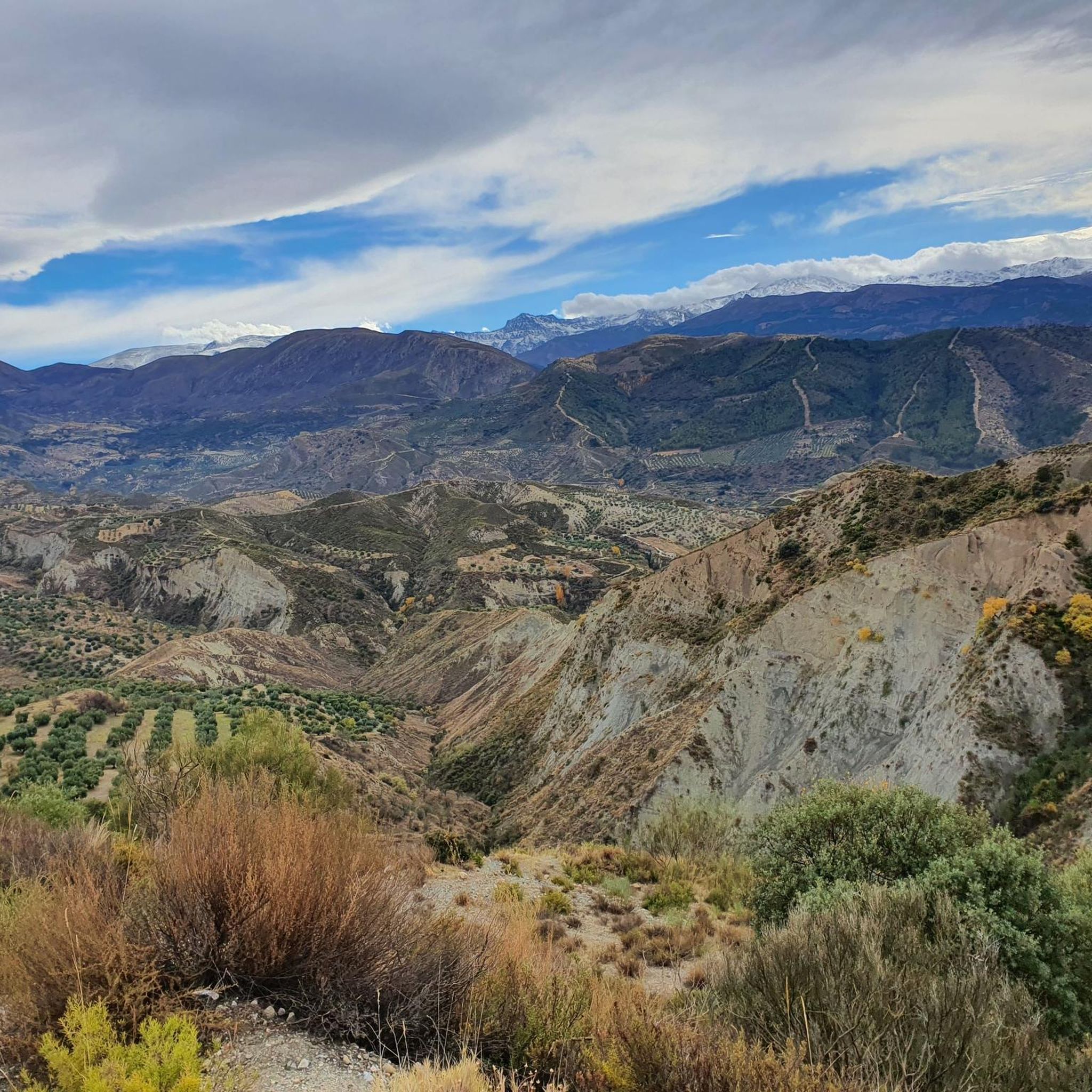
Mountaineering routes around Beas de Granada offer access to the varied terrain of the Sierra de Huétor Natural Park, characterized by dramatic geological formations, ravines, and cliffs. The region is situated at an elevation of 1072 meters, providing views of the higher Sierra Nevada mountains. Surrounding the town are peaks such as Buenavista (1667 meters) and Calabozo (1649 meters), which define the local landscape. These features create a diverse environment for mountaineering, ranging from forested paths to more exposed mountain…
Last updated: May 18, 2026
5
hikers
12.0km
05:01
770m
760m
Hard mountaineering route. Very good fitness required. Sure-footedness, sturdy shoes and alpine experience required.
2.0
(1)
1
hikers
7.81km
02:20
240m
240m
Moderate mountaineering route. Good fitness required. Easily-accessible paths. Suitable for all skill levels.

Sign up for free
1
hikers
Moderate mountaineering route. Good fitness required. Easily-accessible paths. Suitable for all skill levels.
Our route recommendations are based on thousands of hikes, rides, and runs completed by other people on komoot.
Start today with a free account
Your next adventure awaits.
Login or Signup

Tips from the Community

There's a long suspension bridge above the waterfall. It's a beautiful spot, but not for those with a fear of heights.
0
0

good trail and very pretty
0
0

spectacular views and a site
0
0

In August, the water is low, so you can sometimes take refuge at the edge of the riverbed 😉
3
0

Great tour. But sturdy shoes and a bit of a thrill are a must!😅😀
1
1


Take a deep breath and fill up your water bottles - this is where the climbing starts!
1
0

At high tide the passage is difficult, but definitely worth it!
1
1
Frequently Asked Questions
What kind of terrain can I expect on mountaineering routes around Beas de Granada?
The routes around Beas de Granada traverse the varied landscape of the Sierra de Huétor Natural Park. You'll encounter dramatic geological formations, narrow ravines, and cliffs, alongside olive groves, oak forests, and almond trees. Some trails, like those near abandoned quarries, even feature unique, almost lunar landscapes. The area offers a mix of forested paths and more exposed mountain ascents.
Are there any beginner-friendly mountaineering routes in the area?
While many routes offer a challenge, there are options suitable for those new to mountaineering. For example, the Monachil loop from Monachil is a moderate 4.8-mile path that provides a scenic journey without extreme difficulty. Another moderate option is the Los Cahorros Gorge, Monachil – Hanging Bridge of Los Cahorros loop from Monachil, which is about 5.1 miles long and can be completed in under 3 hours.
What are some of the more challenging mountaineering routes near Beas de Granada?
For experienced mountaineers seeking a challenge, the Alto de Calar loop from Güéjar Sierra is a difficult 7.5-mile route. It features significant elevation gain and offers expansive mountain views, typically taking around 5 hours to complete.
Can I find circular mountaineering routes in this region?
Yes, several routes around Beas de Granada are designed as loops, allowing you to start and end in the same location. Examples include the Monachil loop from Monachil and the Los Cahorros Gorge, Monachil – Hanging Bridge of Los Cahorros loop from Monachil.
What are the best times of year for mountaineering around Beas de Granada?
Many routes are suitable for all seasons. However, some exposed areas can become very warm during the summer months. Spring and autumn generally offer pleasant temperatures and vibrant landscapes. In winter, the higher peaks of the broader Sierra Nevada range, visible from Beas de Granada, are often snow-capped, offering stunning views, but require appropriate gear and awareness of conditions.
Are there any notable natural landmarks or viewpoints along the routes?
Absolutely. The region is rich in natural beauty. You can find distinctive features like El Fraile, a natural rock formation sculpted by wind erosion. The Sierra de Huétor Natural Park itself is known for its dramatic geological formations. For stunning views, consider visiting View of the Canales Reservoir 🏞️ Sierra Nevada or View of reservoir of Canales and Güéjar Sierra. The area also features the Quéntar Reservoir and Canales Reservoir.
What do other mountaineers say about the routes in Beas de Granada?
The mountaineering routes around Beas de Granada are appreciated by the komoot community. Reviewers often highlight the diverse terrain, from forested paths to challenging ascents, and the expansive views of the Sierra Nevada mountains. The area has an average rating of 2.0 stars from 1 review, with more than 7 mountaineers having explored the region using komoot.
Are there any gorges or unique geological features to explore?
Yes, the region is known for its dramatic geological formations. The Sierra de Huétor Natural Park features narrow ravines and steep cliffs. A popular route, the Los Cahorros Gorge, Monachil – Hanging Bridge of Los Cahorros loop from Monachil, takes you directly through the impressive Los Cahorros Gorge, offering a unique experience with its hanging bridges.
What are the typical durations for mountaineering routes in this area?
The duration varies significantly based on the route's length and difficulty. Moderate routes like the Monachil loop from Monachil can take around 2 hours and 20 minutes, while more challenging routes such as the Alto de Calar loop from Güéjar Sierra may require up to 5 hours to complete.
Are there any historical or cultural points of interest near the trails?
While the primary focus is natural landscapes, the region does offer some historical insights. For instance, the Trenches and Treading Pools trail (not specifically listed in this guide but mentioned in regional research) provides a glimpse into historical military architecture. Additionally, you can find cultural highlights like the Lower Gardens of the Generalife and Carmen de los Mártires Gardens nearby, offering a blend of nature and history.
Is Beas de Granada a good base for exploring the wider Sierra Nevada mountains?
Yes, Beas de Granada is an excellent base. Situated at an elevation of 1072 meters, it provides superb views of the higher Sierra Nevada mountains. The town's proximity to the Sierra de Huétor Natural Park and its surrounding peaks makes it a strategic starting point for exploring the broader mountain range and its diverse landscapes.
Most popular routes around Beas De Granada
Most popular attractions around Beas De Granada

Get inspired with the komoot mobile app


Explore more
Browse the best Mountain Hikes & Routes in other regions.
