The best walks and hikes around Comunidad de Canicosa de la Sierra y Casarejos
5.0
(4)
24
hikers
8
hikes
Hiking around Comunidad de Canicosa de la Sierra y Casarejos offers diverse terrain within the Sierra de la Demanda y Urbión mountain range. The region is characterized by extensive pine forests, varied mountainous landscapes, and a unique microclimate. Geological features include evidence of ancient inland seas and Jurassic forests, contributing to varied hiking experiences. The area provides numerous rutas de senderismo Canicosa de la Sierra y Casarejos, with trails winding through forests, meadows, and along historical routes.
Best hiking trails…
Last updated: July 13, 2026
6
hikers
Moderate hike. Good fitness required. Easily-accessible paths. Suitable for all skill levels.
5.0
(1)
5
hikers
8.22km
02:19
180m
180m
Moderate hike. Good fitness required. Easily-accessible paths. Suitable for all skill levels.

Sign up for free
5.0
(1)
5
hikers
10.9km
03:08
260m
260m
Moderate hike. Good fitness required. Easily-accessible paths. Suitable for all skill levels.
2
hikers
4.30km
01:12
80m
80m
Easy hike. Great for any fitness level. Easily-accessible paths. Suitable for all skill levels.
5.0
(1)
2
hikers
Easy hike. Great for any fitness level. Easily-accessible paths. Suitable for all skill levels.
Get access to more routes and recommendations from other explorers.
Sign up for free
Already have an account?
Our route recommendations are based on thousands of hikes, rides, and runs completed by other people on komoot.
Start today with a free account
Your next adventure awaits.
Login or Signup
Popular around Comunidad de Canicosa de la Sierra y Casarejos
Road Cycling Routes around Comunidad de Canicosa de la Sierra y Casarejos
MTB Trails around Comunidad de Canicosa de la Sierra y Casarejos
Cycling around Comunidad de Canicosa de la Sierra y Casarejos
Running Trails around Comunidad de Canicosa de la Sierra y Casarejos
Gravel biking around Comunidad de Canicosa de la Sierra y Casarejos
Tips from the Community

Nice trail area
0
0
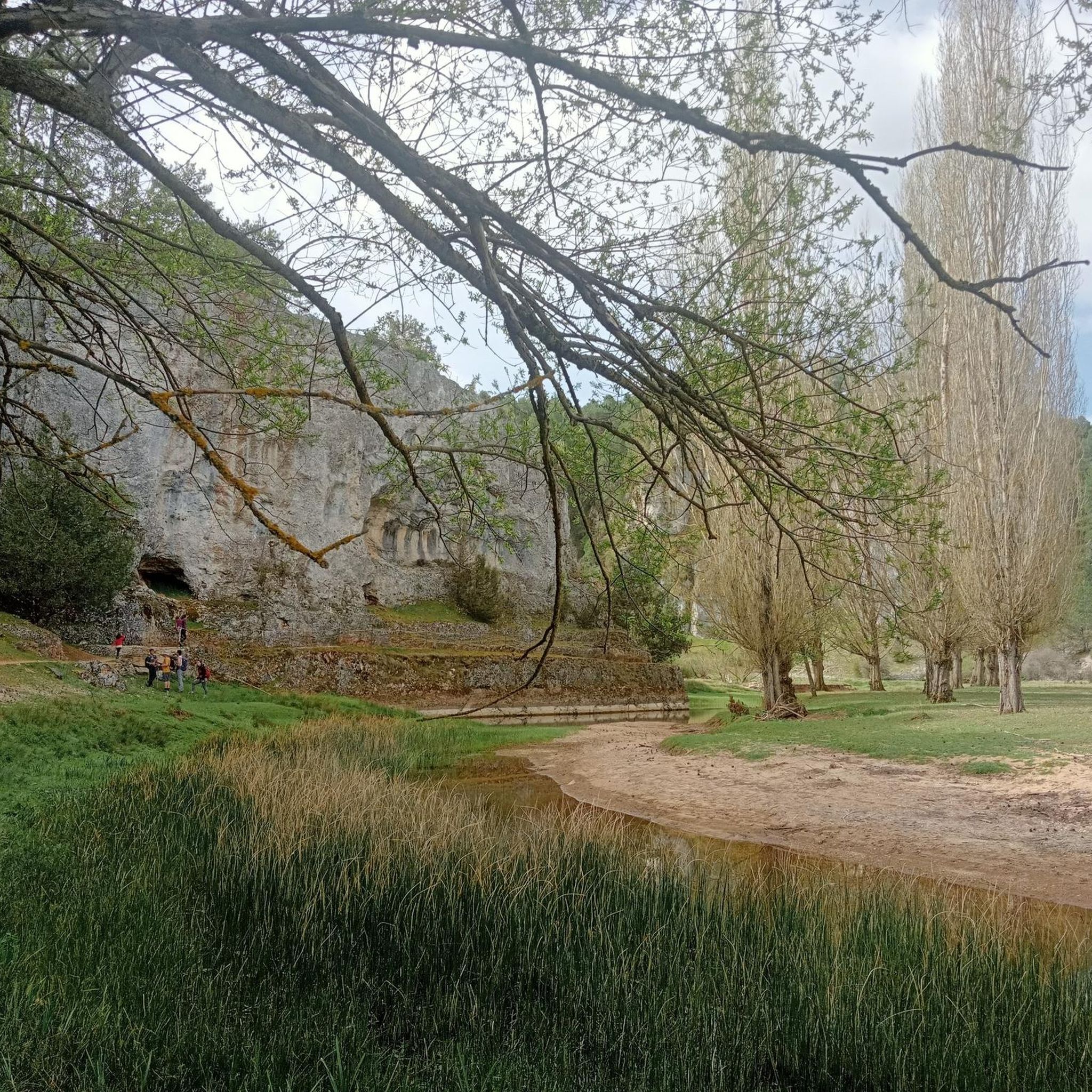
Nice area for outdoor activities.
0
0
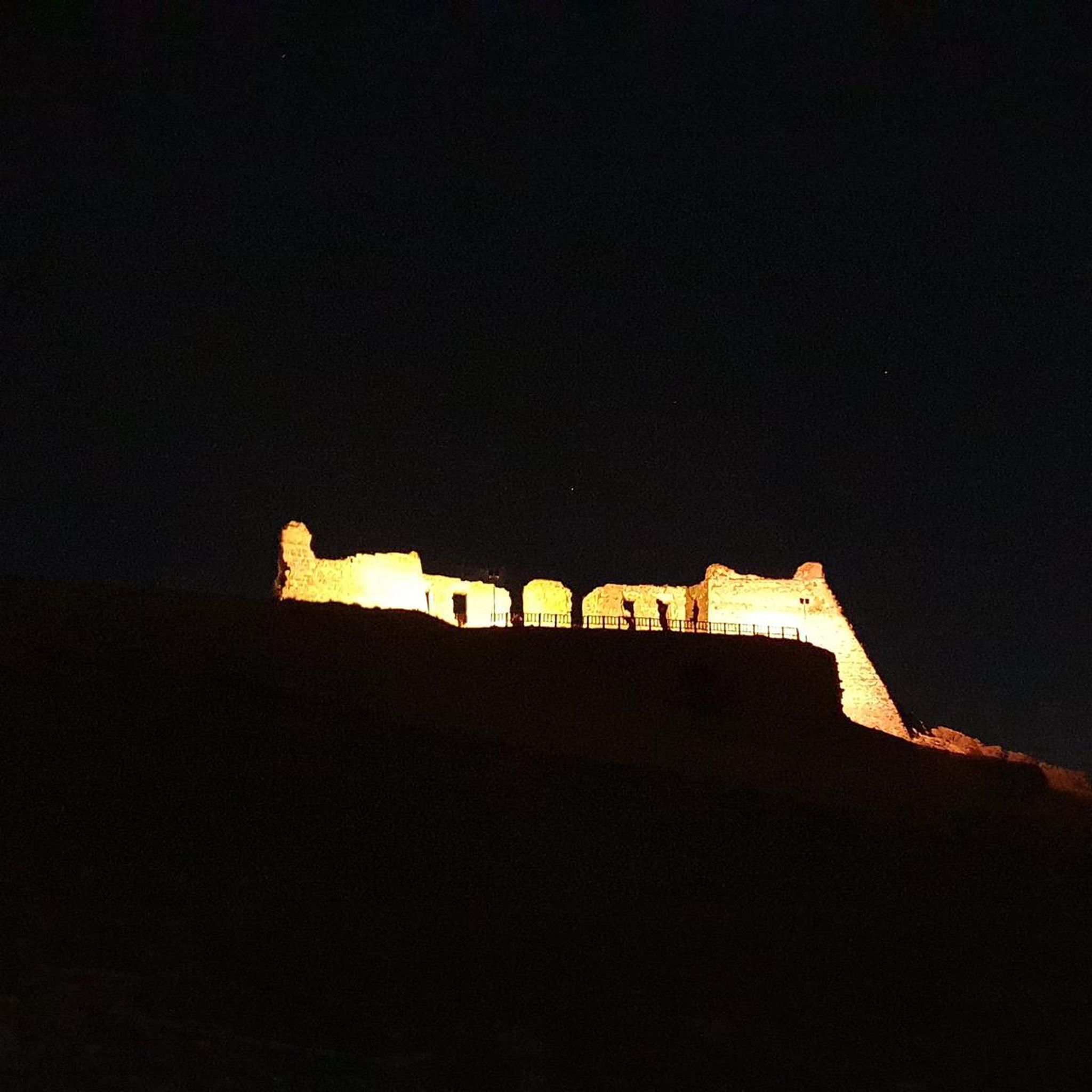
A beautiful village in the PINARES region, in the province of Soria
0
0
One of the highest places, with impressive views.
0
0
A super comfortable place to spend the night if you're doing the GR 86. There's nothing, not even a fireplace to make a fire. Very clean and well maintained.
0
0

The town of San Leonardo de Yagüe is dedicated to the wood and food industry, mainly. It has tourist potential: the Camino de Santiago de Soria, also called Castilian-Aragonese, passes through the town.
0
0
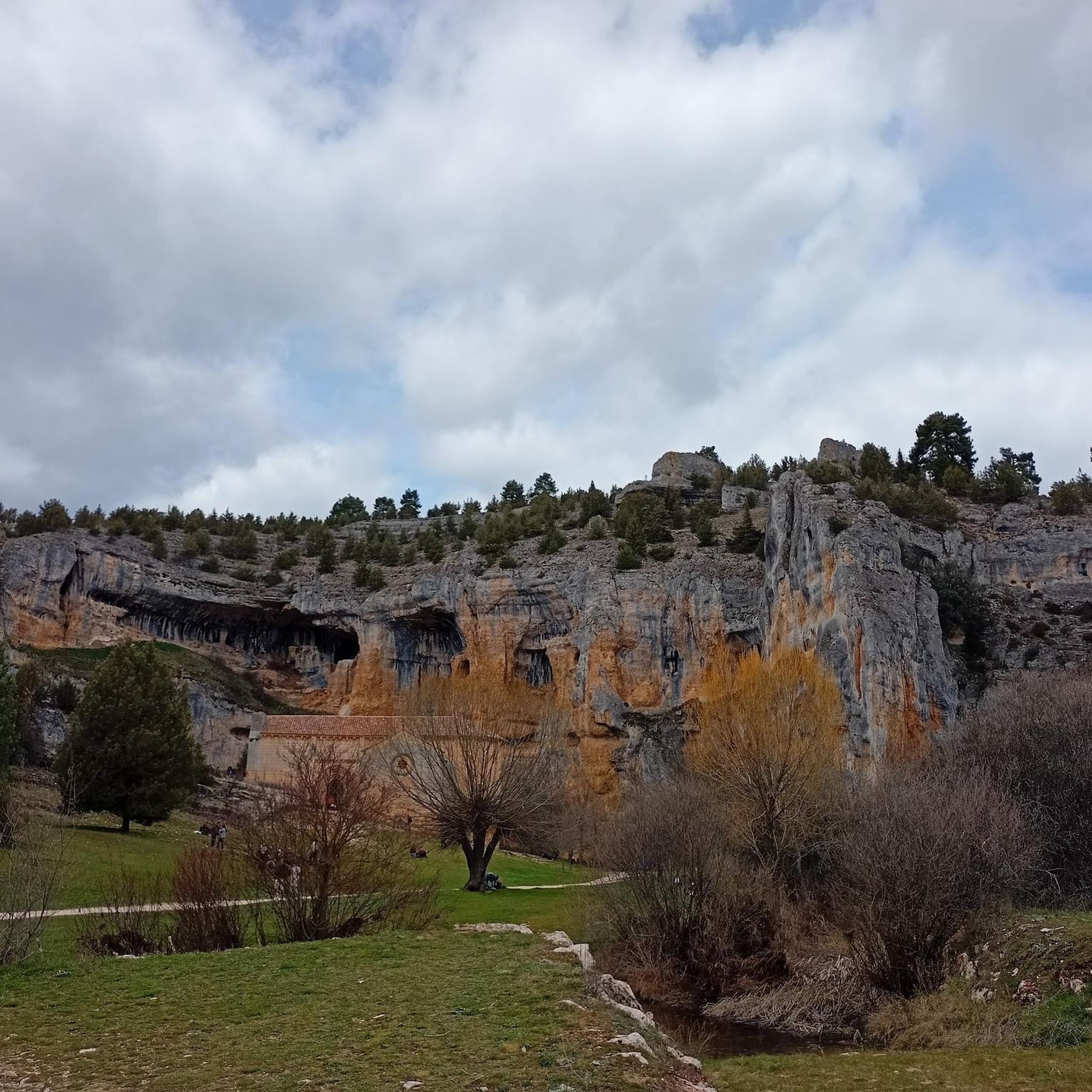
Old niche space where it is located in the same Espacio Natural de la Sierra de la Demanda and which is called Cueva de Andrés
1
0
Frequently Asked Questions
What kind of landscapes can I expect to see while hiking in Comunidad de Canicosa de la Sierra y Casarejos?
The region is defined by its extensive and dense pine forests, part of the 'Comarca de Pinares,' which create a verdant environment, especially vibrant in spring and autumn. You'll also encounter varied mountainous terrain, with peaks like Montes Carmona and Araña, and geological features hinting at ancient inland seas and Jurassic forests. The area's unique microclimate, sheltered by the surrounding mountains, adds to the diverse scenery.
Are there any easy hiking trails suitable for beginners or a relaxed walk?
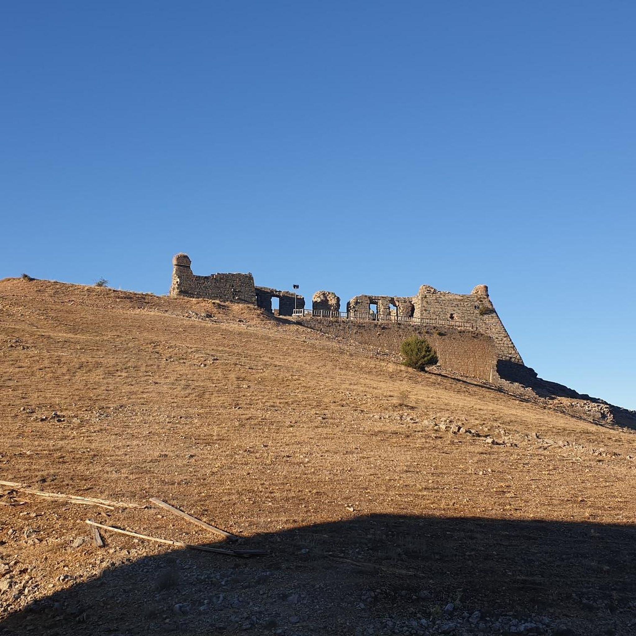
Yes, the Comunidad offers several easy routes. For a gentle stroll, consider the Ruins of San Leonardo Castle – San Leonardo de Yagüe loop from San Leonardo de Yagüe, which is 3.8 miles (6.1 km) long and takes about 1 hour 40 minutes. Another easy option is the Meadow With Benches loop from Navaleno, a 4.3 km route.
What are some historical or cultural points of interest I can discover on a hike?
The region is rich in history. In Canicosa de la Sierra, you can visit the medieval Necropolis of Revenga with its rock-hewn tombs. Casarejos is near the stunning Cañón del Río Lobos Natural Park, where you can find the isolated Hermitage of Saint Bartholomew, once part of a Templar monastery. The Hermitage of la Cerca – Cueva de Andrés Hermitage loop from Comunero de Revenga specifically features historical hermitages.
What is the best time of year to go hiking in Comunidad de Canicosa de la Sierra y Casarejos?
The pine forests are particularly vibrant in spring and autumn, offering beautiful colors and pleasant temperatures for hiking. Autumn is also known for mushroom foraging, a popular local activity. The unique microclimate, sheltered by mountains, generally provides favorable conditions for outdoor activities.
Are there any circular hiking routes available?
Yes, many of the trails in the Comunidad de Canicosa de la Sierra y Casarejos are circular. For example, the popular Hermitage of la Cerca – Cueva de Andrés Hermitage loop from Comunero de Revenga is a moderate 7.1-mile (11.4 km) circular trail. Another option is the Cabeza Alta Refuge – Raso Manarenas loop from Navaleno, which is 6.7 miles (10.9 km) long.
What do other hikers enjoy most about hiking in Comunidad de Canicosa de la Sierra y Casarejos?
The area is highly rated by the komoot community, with an average score of 5.0 stars from over 3 reviews. Hikers often praise the dense pine forests, the varied mountainous terrain, and the opportunity to explore historical paths and natural features. The region's tranquil atmosphere and diverse routes for different ability levels are also frequently highlighted.
Are there any viewpoints or scenic spots along the trails?
Absolutely. The region offers stunning vistas, especially from higher elevations. Near Casarejos, the Gullurías Viewpoint provides expansive views of the Soria and Burgos pine forests, as well as the peaks of the Iberian System, including Urbión Peak. Many trails wind through the dense pine forests, offering picturesque natural scenery throughout.
Can I find trails that lead to natural features like caves or unique geological formations?
Yes, the area has interesting natural features. The geological history includes evidence of ancient inland seas and Jurassic forests. Near Casarejos, within the Cañón del Río Lobos Natural Park, you can explore the Cueva Grande, a significant natural cave. The landscape itself, with its 'enigma hidden in each of its rocks and natural shelters,' invites exploration of its unique geology.
Are there any trails that pass through or near towns where I can find amenities?
Many routes are accessible from or pass near local settlements. For instance, the Ruins of San Leonardo Castle – San Leonardo de Yagüe loop starts and ends in San Leonardo de Yagüe, a town where you can find amenities. Canicosa de la Sierra and Casarejos themselves offer traditional architecture and local gastronomy, including foraged mushrooms, providing opportunities to refuel after your hike.
What kind of wildlife might I encounter while hiking?
The extensive pine forests and varied terrain provide habitat for diverse wildlife. While specific sightings depend on luck and time of day, you can expect to see various bird species, and potentially deer or wild boar, especially in quieter areas. The region is also known for its abundance of wild mushrooms, making mushroom foraging a popular activity, particularly during the annual Mycological Days.
How many hiking trails are available in the Comunidad de Canicosa de la Sierra y Casarejos?
There are over 8 hiking routes documented in the Comunidad de Canicosa de la Sierra y Casarejos, ranging from easy walks to moderate day hikes. This network provides diverse options for exploring the region's pine forests and mountainous landscapes.
Are there any trails that offer a sense of solitude or lead to less crowded areas?
The vastness of the pine forests and the numerous trails mean you can often find peaceful and less crowded paths. Routes like the Raso Manarenas loop from Navaleno, which traverses through the natural landscape, can offer a sense of solitude away from more frequented spots. Exploring the general environment beyond structured trails also provides ample opportunities for quiet contemplation.
Most popular routes around Comunidad de Canicosa de la Sierra y Casarejos
Most popular attractions around Comunidad de Canicosa de la Sierra y Casarejos

Get inspired with the komoot mobile app


Explore more
Browse the best Hikes in other regions.
