The best gravel rides around Comares
4.5
(3)
47
riders
5
rides
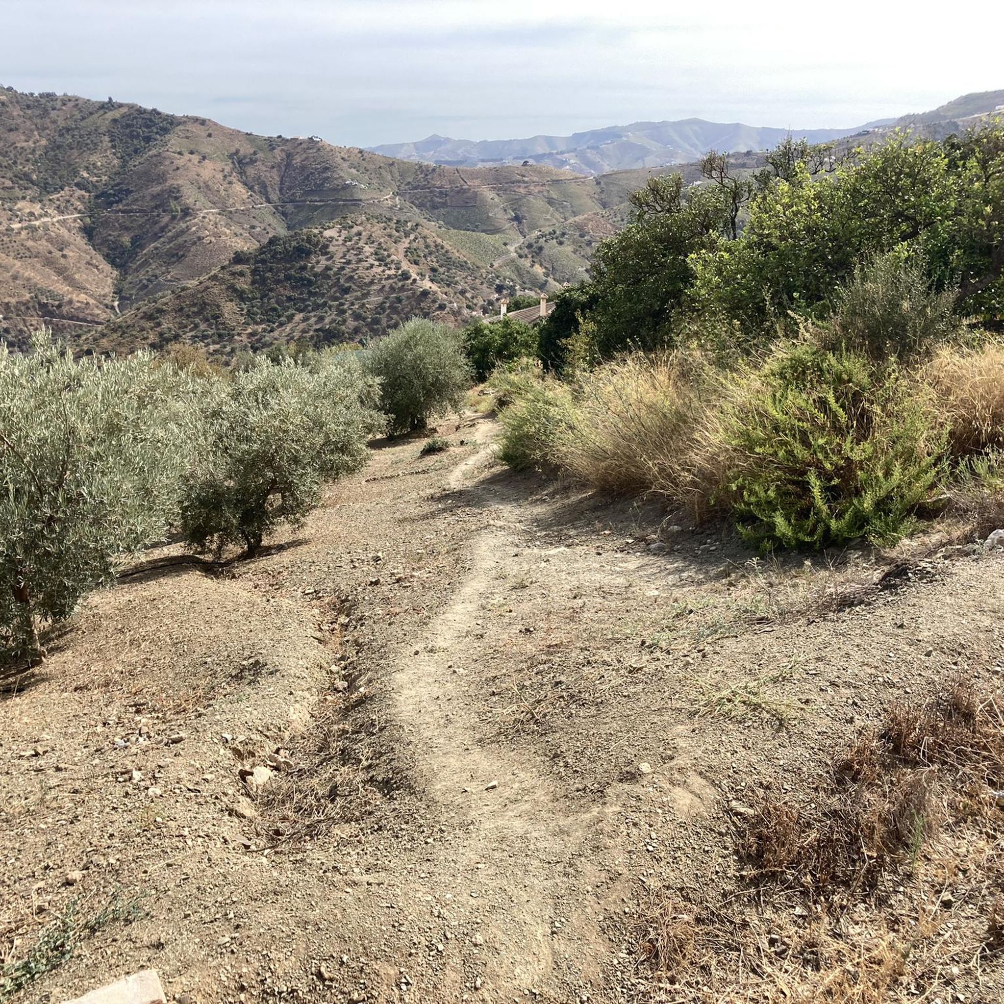
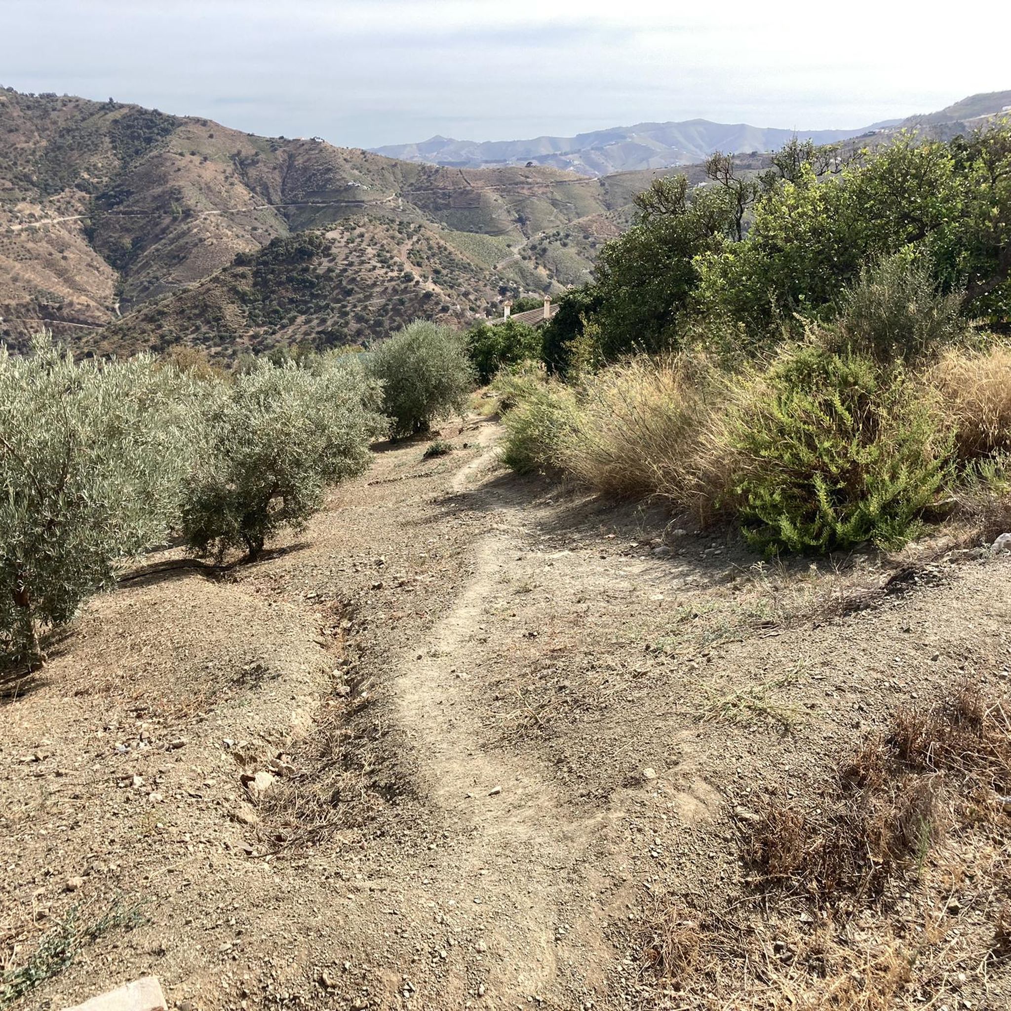
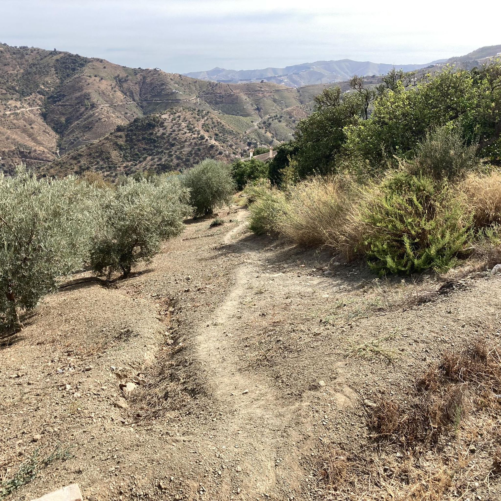
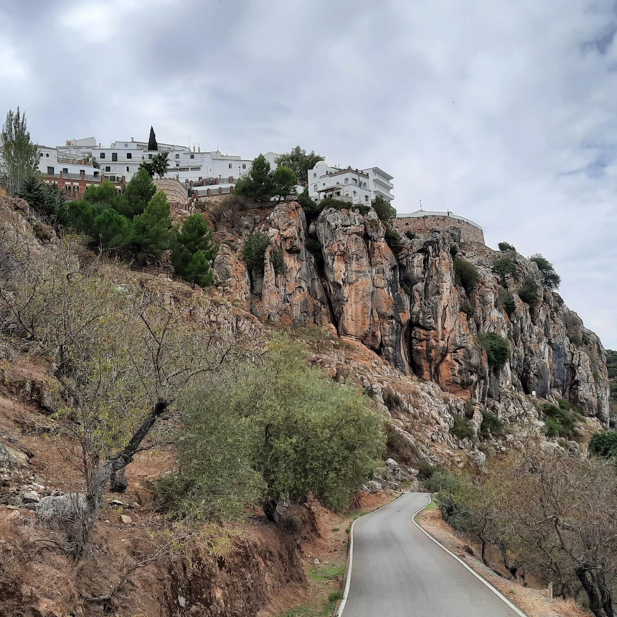
Gravel biking around Comares offers routes through mountainous terrain, characterized by significant climbs and descents. Situated at an elevation of 700 meters above sea level, the area provides panoramic views of the Axarquía valley and the Montes de Málaga Natural Park. The landscape features a mix of vineyards, olive groves, and almond trees, contributing to varied scenery along the trails. Many routes feature challenging gradients and expansive views.
Best gravel bike trails around Comares
- The most popular gravel bike trail…
Last updated: August 9, 2026
4.0
(1)
17
riders
43.2km
03:36
1,070m
1,070m
Hard gravel ride. Very good fitness required. Mostly paved surfaces. Suitable for all skill levels.
7
riders
Hard gravel ride. Very good fitness required. Mostly paved surfaces. Suitable for all skill levels.

Sign up for free
5.0
(2)
14
riders
48.2km
03:00
590m
590m
Hard gravel ride. Very good fitness required. Mostly paved surfaces. Suitable for all skill levels.
4
riders
62.5km
04:47
1,270m
1,280m
Hard gravel ride. Very good fitness required. Mostly paved surfaces. Suitable for all skill levels.
2
riders
34.5km
02:37
720m
720m
Hard gravel ride. Very good fitness required. Mostly paved surfaces. Suitable for all skill levels.
Our route recommendations are based on thousands of hikes, rides, and runs completed by other people on komoot.
Start today with a free account
Your next adventure awaits.
Login or Signup
Tips from the Community


Iznate is an idyllic white village in the Axarquía region, about twelve kilometers from Vélez-Málaga. The village lies harmoniously in a gently rolling landscape characterized by vineyards, mangoes, and other fruit plantations. Narrow, whitewashed streets and a tranquil, rural atmosphere lend the village its authentic Andalusian character. The small Iznate River meanders through the area, providing the fertile soil that surrounds the village. From viewpoints like the Mirador de la Loma de Barcos, sweeping vistas open up across valleys, terraced fields, and olive groves – on a clear day, even as far as the Mediterranean Sea. Iznate exudes an authentic, serene atmosphere and is a prime example of the traditional "Pueblos Blancos" (white villages) of Andalusia – ideal for those seeking nature, relaxation, and the unspoiled charm of southern Spanish rural life.
0
0
Located in the Montes de Málaga, this restaurant is an ideal stop for cyclists exploring the region's mountain trails. The restaurant exudes a rustic, traditional atmosphere, with old tools, jerrycans, and platters evoking the area's agricultural past. The menu features hearty, typical regional dishes such as migas (a type of sausage), Plato de los Montes (a regional specialty), and meat and game dishes—perfect for refueling after a strenuous climb. From the terrace and windows, there are sweeping views of the surrounding mountains and valleys, making the break particularly worthwhile. Venta Galwey is therefore not only a place for good food but also for relaxation and enjoying the scenery during a cycling tour through the Montes de Málaga.
1
0
The monument near Colmenar is a stone memorial monolith commemorating José Campos Fontalba, a chief engineer of the province of Málaga. Constructed of roughly hewn natural stone, it takes the form of a stepped base with an inset cross. At its center is a recessed stone plaque bearing his name, profession, and a dedication. The monument stands at the roadside, surrounded by tall cypress trees, and is clearly visible from the road. It conveys the impression of a traditional, solid memorial, a common feature of the first half of the 20th century. Its simple, robust design and the use of local stone blend harmoniously into the landscape of the Montes de Málaga. Overall, it is a typical example of a Spanish road or engineering monument of that era, commemorating both an individual and the importance of public works in a mountainous region. Today, the monument stands as a silent historical witness by the roadside, preserving the memory of the technical and social development of this area.
1
0

I think he's referring to walking alone along the Torrijos Trail. Starting from the wine press, you reach the end of the trail and turn around. This trail is perfectly suitable for children and people who are not in very good physical shape, as there are no steep slopes and you can stop and rest in the areas with benches.
1
0

The route is definitely not intended for children and people with low physical fitness!!!
0
1

The municipality of Benamocarra belongs to the Axarquía region, which offers picturesque landscapes, whitewashed villages and agricultural traditions. The town dates back to the Moorish period of Al-Andalus, falling to the Catholic Monarchs in 1487. Therefore, the village has a rich history with Moorish and Andalusian influences and retains its traditional charm with narrow streets and historic architecture. Benamocarra is a worthwhile destination for a cycling tour, with sights such as the Iglesia de Santa Ana and the Plaza del Calvario. Nearby, detours to Vélez-Málaga with its historic old town and the Castillo are worthwhile.
3
0
Frequently Asked Questions
What kind of terrain can I expect on gravel bike trails around Comares?
Gravel biking around Comares is characterized by mountainous terrain with significant climbs and descents. You'll ride through diverse landscapes including vineyards, olive groves, and almond trees, offering varied scenery throughout your journey. The region is situated 700 meters above sea level, providing constant panoramic views of the Axarquía valley and the Montes de Málaga Natural Park.
Are there many gravel bike routes available in Comares?
There are several challenging gravel bike routes around Comares. Our guide features 6 routes, all rated as difficult, designed to showcase the best of the region's landscape and provide a rewarding experience for experienced gravel bikers.
What are some notable viewpoints or scenic spots along the gravel trails?
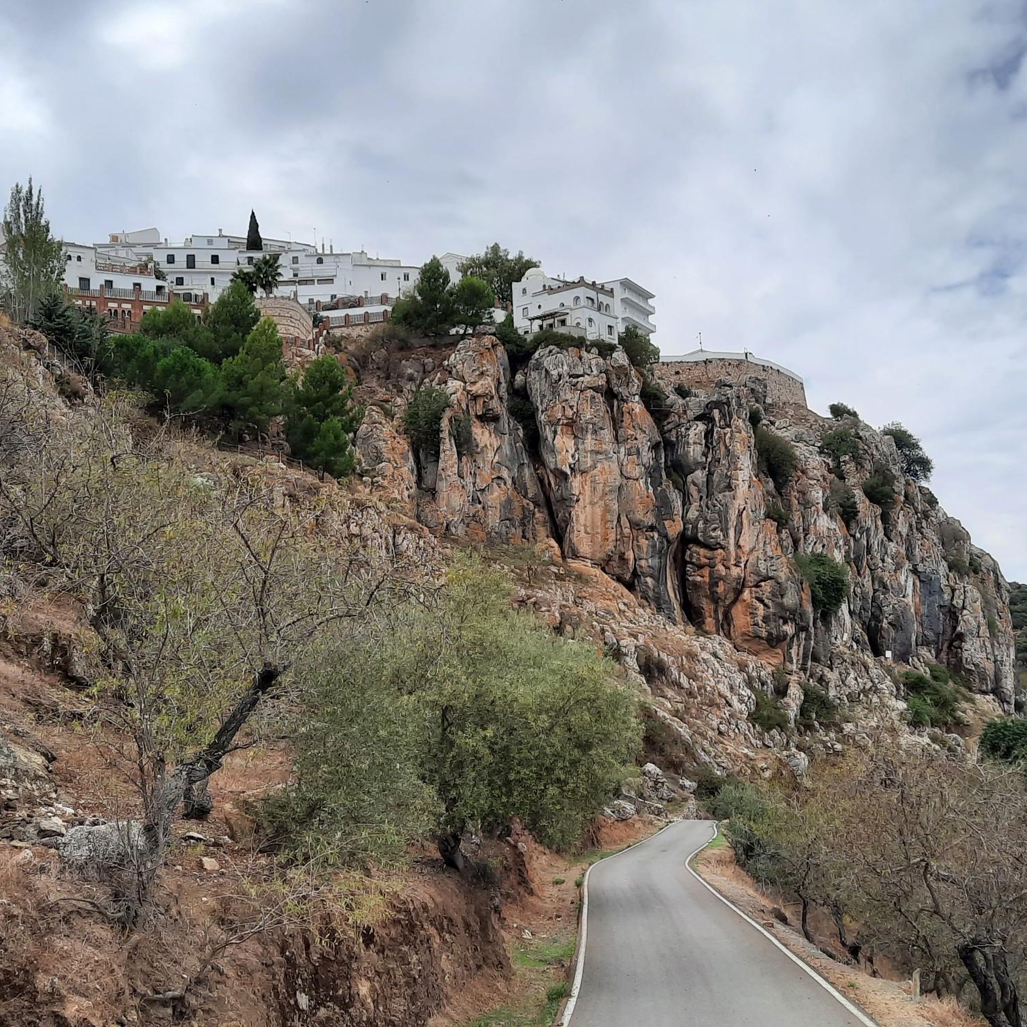
Comares, known as the 'Balcony of Axarquía,' offers stunning panoramic views. Specific viewpoints like the Mirador Balcón de la Axarquía and the Boar Viewpoint provide breathtaking vistas of the Axarquía valley, Montes de Málaga Natural Park, and the Sierra Tejeda mountains. Many routes, such as the Miguel Álvarez Viewpoint – El Aguadero Bridge loop from Taj Majal, incorporate these expansive views.
What is the typical difficulty level of gravel biking in Comares?
The gravel bike routes in Comares are generally considered difficult. They feature challenging gradients and notable elevation changes, making them suitable for experienced riders seeking a physical challenge. All routes listed in our guide are rated as difficult.
Are there any historical or cultural attractions to explore in Comares?
Yes, the village of Comares itself is a significant attraction with a rich Moorish heritage. You can explore its labyrinthine streets, traditional architecture, and historical sites like the Comares Castle (Hisn Comarix), the Aljibe de Mazmúllar (a 13th-century Mozarabic cistern), and the Mudejar-style Iglesia de Nuestra Señora de la Encarnación. Ceramic footprints guide visitors through the village's cobbled streets, highlighting its history and culture. The Comares Village is a highlight in itself.
What is the longest gravel bike route in the Comares area?
The longest route featured in our guide is the Montes Road – Camino de Olías loop from Ventas el Conde. This challenging trail spans 77.8 km (48.3 miles) and typically takes around 7 hours and 2 minutes to complete, leading through mountainous landscapes with over 2000 meters of elevation gain.
What do other gravel bikers say about the routes in Comares?
The gravel biking experience in Comares is highly rated by the komoot community, with an average score of 4.0 stars. Over 30 gravel bikers have used komoot to explore the varied terrain, often praising the challenging ascents, rewarding panoramic views, and the diverse landscapes of olive and almond groves.
Are there any mountain passes I can incorporate into my gravel bike tour?
Yes, the region around Comares features several mountain passes that can be part of a challenging gravel ride. Notable passes include the Bolina Pass and Puerto de Sábar. These offer additional climbing challenges and often provide spectacular views.
What is a good gravel bike loop for a challenging ride in the area?
For a challenging loop, consider the Carretera/Serranilla Monolith – Monolith of the Wind loop from Venta Galwey. This difficult 33.0 km (20.5 miles) path winds through diverse terrain with significant elevation changes, offering a rewarding experience for experienced gravel bikers.
When is the best time of year to go gravel biking in Comares?
The diverse scenery around Comares changes with the seasons. While specific weather conditions vary, late winter and early spring are particularly beautiful when the almond trees are in bloom, adding a pink blush to the mountainsides. The region's elevated position means it can be cooler than coastal areas, but generally, spring and autumn offer pleasant temperatures for cycling.
Are there any shorter, yet still challenging, gravel routes available?
If you're looking for a challenging ride that's not the longest, the Benamargosa – Benamargosa loop from Los Pérez is a good option. This difficult route covers 34.5 km (21.4 miles) with over 700 meters of elevation gain, typically completed in about 2 hours and 36 minutes.
Most popular attractions around Comares

Get inspired with the komoot mobile app


Explore more
Browse the best Gravel rides in other regions.
