The best mountain hikes around Nazar
17
hikers
3
hikes
Mountaineering around Nazar offers a range of routes through its mountainous terrain. The region provides opportunities for varied ascents, with paths leading to notable peaks and through diverse landscapes. These mountaineering routes cater to different skill levels, from moderate challenges to more difficult undertakings.
Best mountaineering routes around Nazar
- The most popular mountaineering route is Peña de los Cencerros – Ioar loop from Torralba del Río, a 4.1 miles (6.6 km) trail that takes 3 hours 32 minutes to…
Last updated: May 18, 2026
10
hikers
6.58km
03:33
600m
600m
Moderate mountaineering route. Good fitness required. Mostly accessible paths. Sure-footedness required.
4
hikers
12.8km
04:18
610m
610m
Moderate mountaineering route. Good fitness required. Easily-accessible paths. Suitable for all skill levels.

Sign up for free
3
hikers
8.07km
04:11
710m
710m
Hard mountaineering route. Good fitness required. Sure-footedness, sturdy shoes and alpine experience required.
Our route recommendations are based on thousands of hikes, rides, and runs completed by other people on komoot.
Start today with a free account
Your next adventure awaits.
Login or Signup
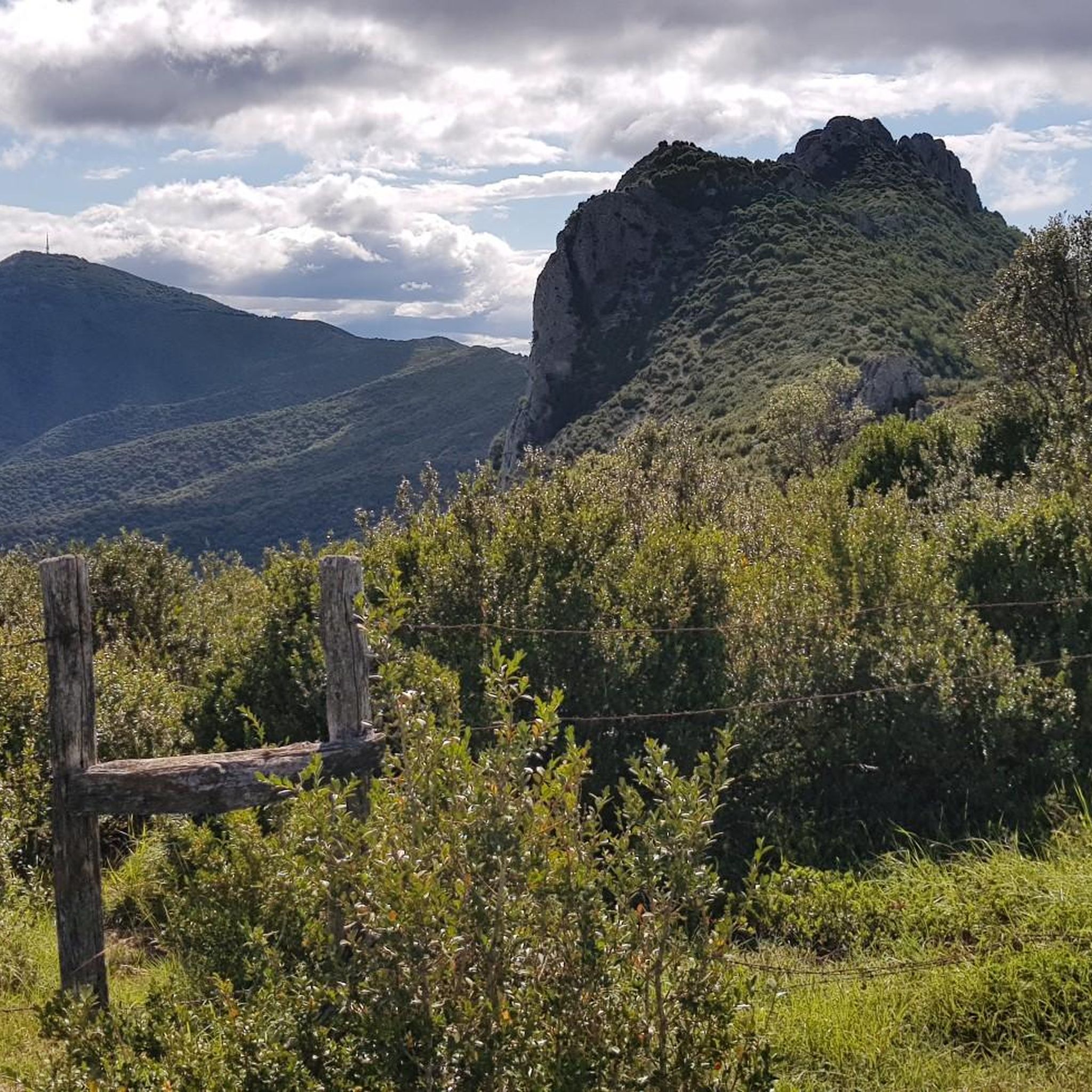
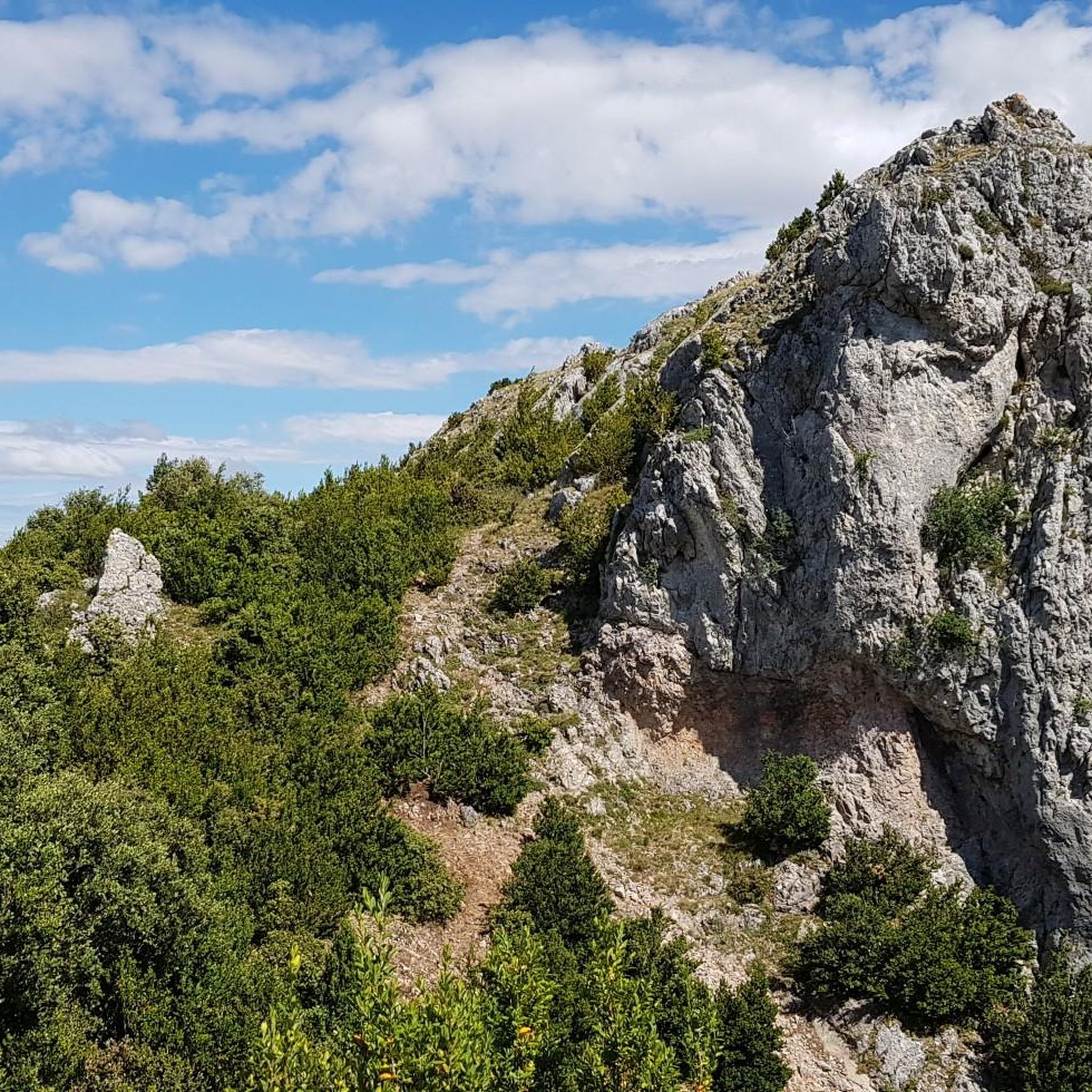
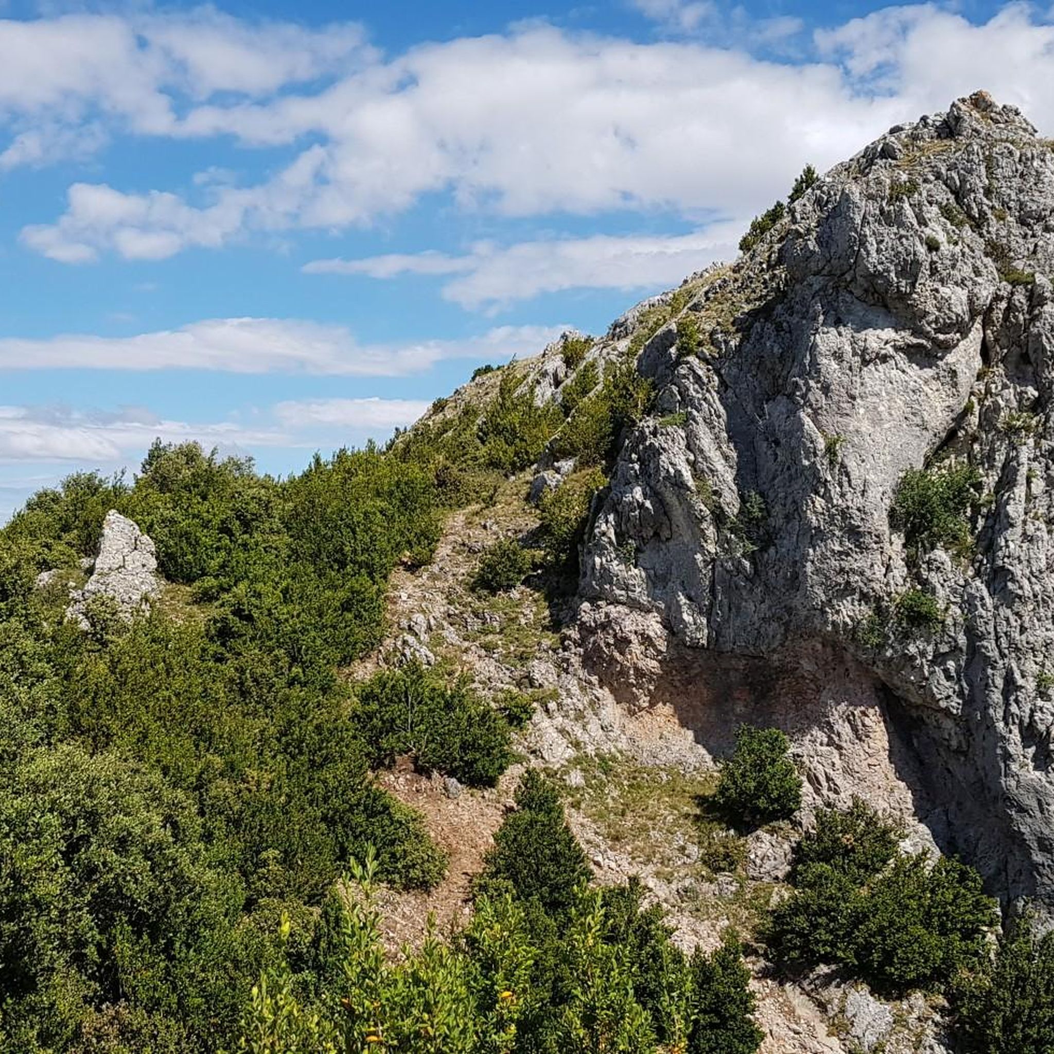
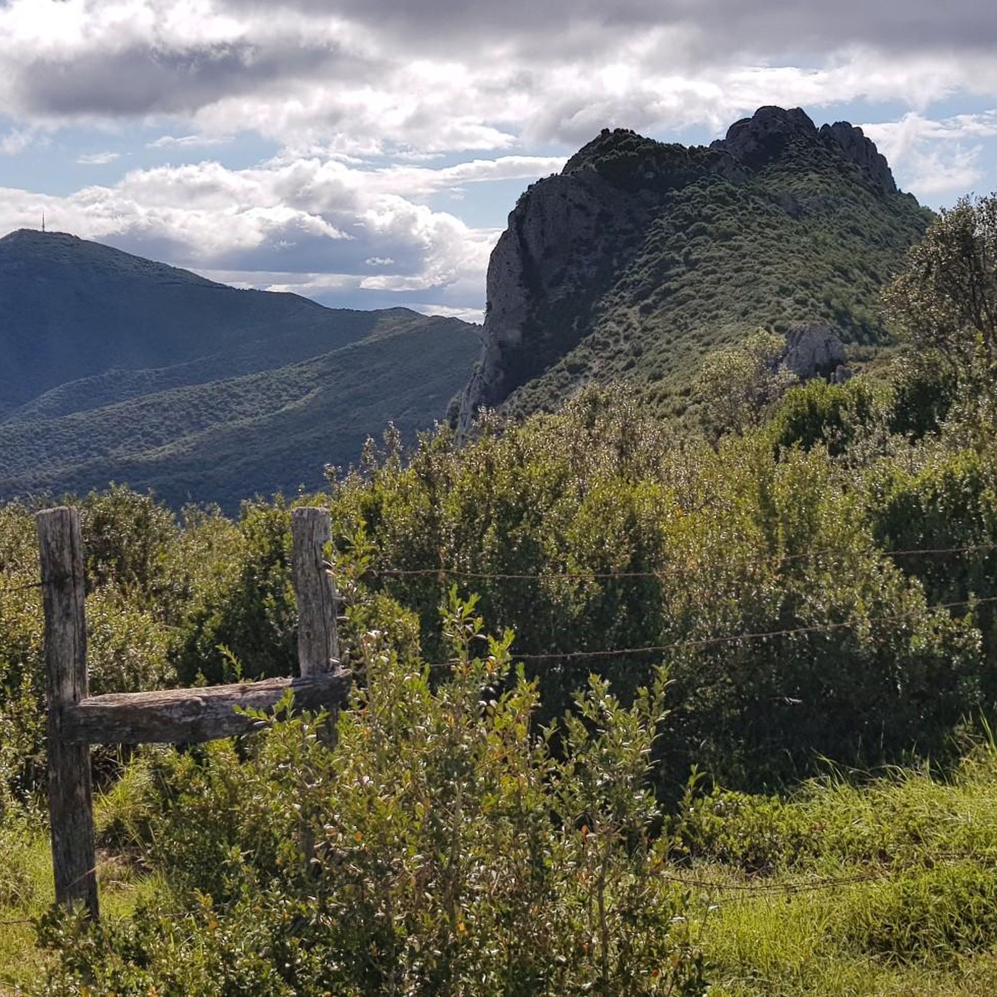

Tips from the Community

The Sanctuary of the Virgin of Codés is located at the foot of the mountain range. It is a splendid 16th-century building built on the remains of a hermitage. The Baroque tower dates from the 18th century. The holy water fountain is next to the arcades, and there is also a guesthouse and gardens for relaxing and passing the time. The route climbs to the left of the building to a parking lot where signs and signs display the hiking trails. The path continues along the GR-1 long-distance trail, the Historical Trail, to Santa Cruz de Campezo, on the Álava side of the mountain range. The path is quite steep through a tunnel of oak trees, some of which are centuries old and stand out in a disturbing way against the dense forest.
1
0

Shelter in a magnificent location. It's not in bad condition, but it needs some improvements to make it an excellent shelter.
0
0

Shelter with firewood and several other services.
0
0

One of the emblematic peaks of the area, a joy of views.
0
0

Simply amazing postcards from the top of Joar at more than 1400 meters above sea level. To get here you can take alternative paths of greater or lesser degree of difficulty depending on your preference, in any case the route is very picturesque.
3
0

The 16th century sanctuary and guesthouse complex are located on top of a hillside facing the Ebro valley in the border area between Navarra (to which it belongs), Álava and La Rioja. From the outside, the view of the ridges towards the Ebro valley recalls the privileged sites for spiritual life where sanctuaries and monasteries were built.
1
0

Mountain refuge very well taken care of... and may it continue like this for a long time, for the good of all. A good place to shelter, in a mountain with very harsh winter days.
2
0
Frequently Asked Questions
How many mountaineering routes are available around Nazar?
There are 3 distinct mountaineering routes documented around Nazar, offering a range of experiences for different skill levels.
Are there any easy mountaineering routes for beginners in Nazar?
While all routes around Nazar involve significant elevation gain, there are no routes specifically classified as 'easy'. However, two routes are rated 'moderate': Peña de los Cencerros – Ioar loop from Torralba del Río and Balsa de Okomendia – Otzamendi loop from 39. fazeria. These might be suitable for those with some prior mountaineering experience.
What is the most challenging mountaineering route in Nazar?
The most challenging route is the La Plana – Ioar loop from Torralba del Río. This difficult trail covers 8.3 km with over 700 meters of elevation gain, typically taking around 4 hours and 14 minutes to complete.
Are there any circular mountaineering routes in Nazar?
Yes, all the featured mountaineering routes in Nazar are circular. You can explore the Peña de los Cencerros – Ioar loop from Torralba del Río, the Balsa de Okomendia – Otzamendi loop from 39. fazeria, or the La Plana – Ioar loop from Torralba del Río, all designed to bring you back to your starting point.
What kind of landscapes can I expect on mountaineering routes around Nazar?
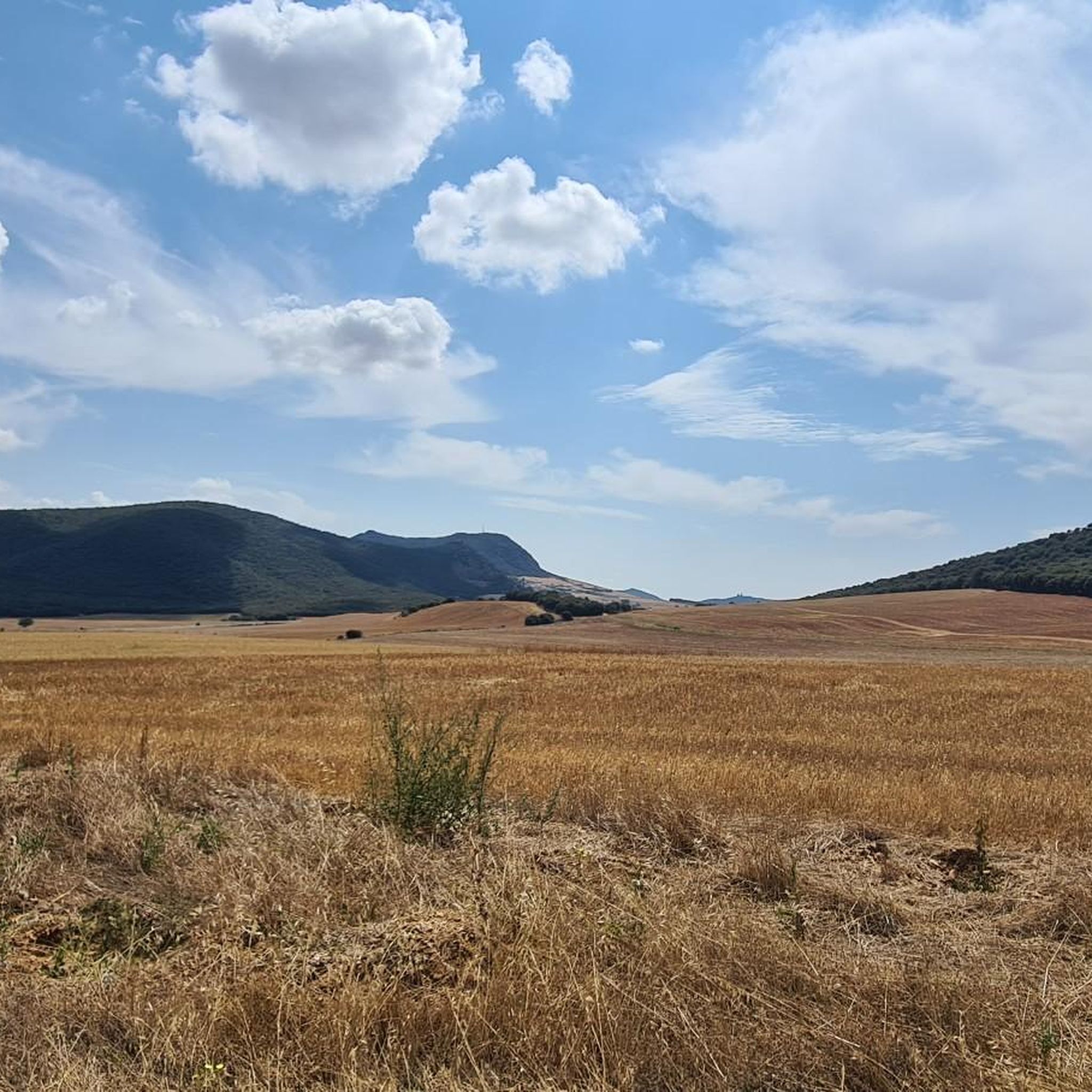
Mountaineering around Nazar is characterized by its diverse mountainous terrain and varied elevation profiles. You'll encounter paths leading to notable peaks and through different natural settings, offering panoramic views and a true mountain experience.
What are some points of interest or landmarks near the mountaineering routes?
While on your mountaineering adventure, you might be interested in exploring nearby attractions. Notable highlights include the Joar Summit (1,414 m) and the La Plana Summit (1,338 m), which are significant natural monuments. Other points of interest in the broader region include the Church of Santa María in Los Arcos and the Arquijas Tunnel.
How long do the mountaineering routes around Nazar typically take?
The duration of routes varies. The Peña de los Cencerros – Ioar loop from Torralba del Río typically takes about 3 hours and 32 minutes. The Balsa de Okomendia – Otzamendi loop from 39. fazeria is longer, around 4 hours and 17 minutes, and the difficult La Plana – Ioar loop from Torralba del Río usually requires about 4 hours and 14 minutes.
What is the elevation gain like on Nazar's mountaineering routes?
The routes around Nazar feature significant elevation gains. For instance, the Peña de los Cencerros – Ioar loop from Torralba del Río has an ascent of nearly 600 meters, while the La Plana – Ioar loop from Torralba del Río involves over 700 meters of climbing.
What do other mountaineers say about the routes in Nazar?
Over 18 mountaineers have used komoot to explore Nazar's varied terrain. They often highlight the region's mountainous landscapes and the rewarding challenges presented by the ascents.
Are there any viewpoints along the mountaineering trails in Nazar?
Yes, the region offers several viewpoints that provide stunning vistas. You can find the Izki Gorge Viewpoint and the View of the Sierra de Lokiz, which are excellent spots to take in the scenery.
Is Nazar suitable for family-friendly mountaineering?
Given that all routes involve significant elevation gain and are classified as 'moderate' to 'difficult', Nazar's mountaineering trails are generally more suited for experienced hikers and mountaineers rather than young children or families seeking very easy walks. However, active families with older, experienced children might find the moderate routes enjoyable.
What is the best time of year for mountaineering in Nazar?
While specific seasonal recommendations are not provided, mountaineering in regions with significant elevation is generally best enjoyed during spring, summer, and early autumn when weather conditions are more stable and trails are clear of snow and ice. Always check local weather forecasts before heading out.
Most popular attractions around Nazar

Get inspired with the komoot mobile app


Explore more
Browse the best Mountain Hikes & Routes in other regions.
