The best walks and hikes around Cabezón De Cameros
4.0
(2)
21
hikers
5
hikes
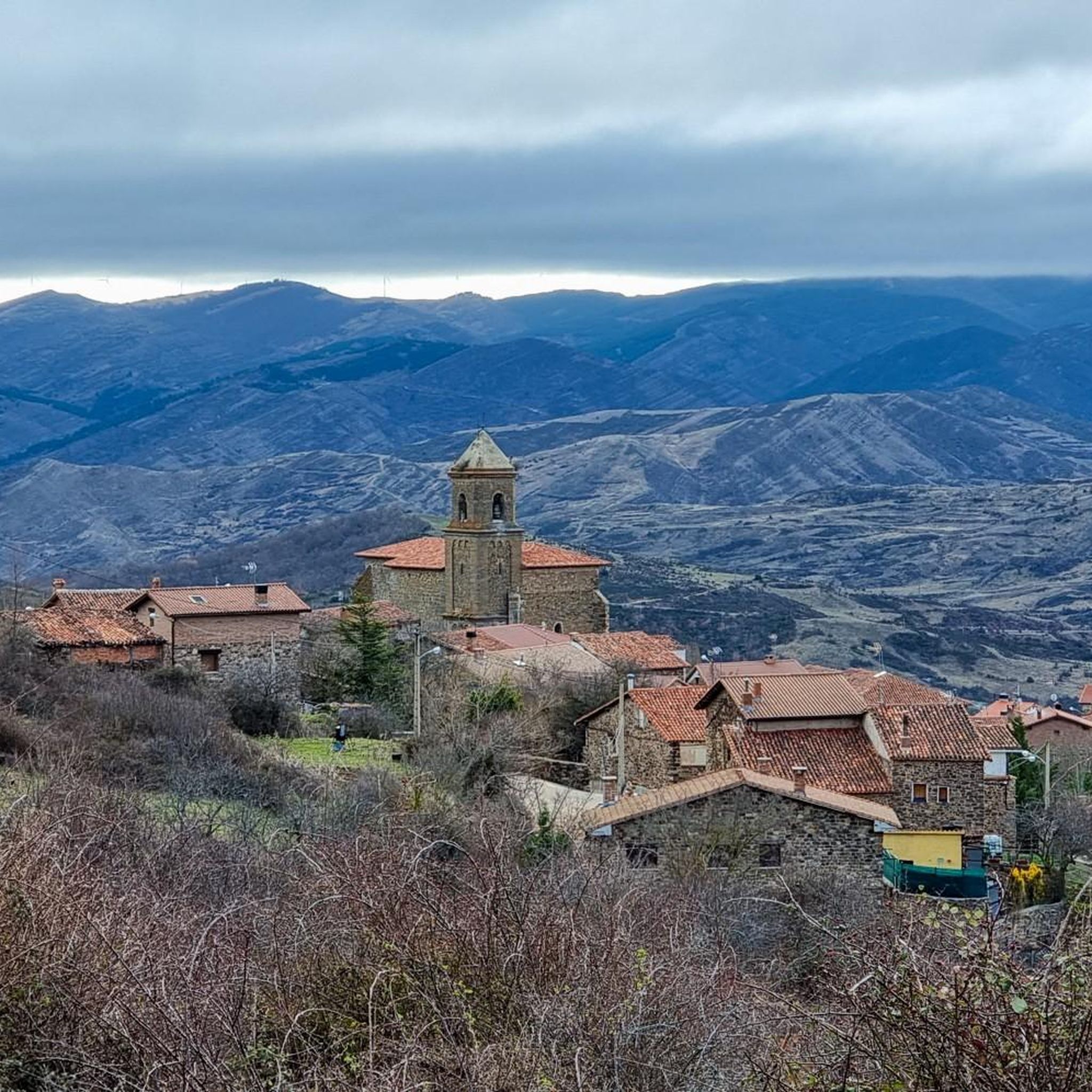
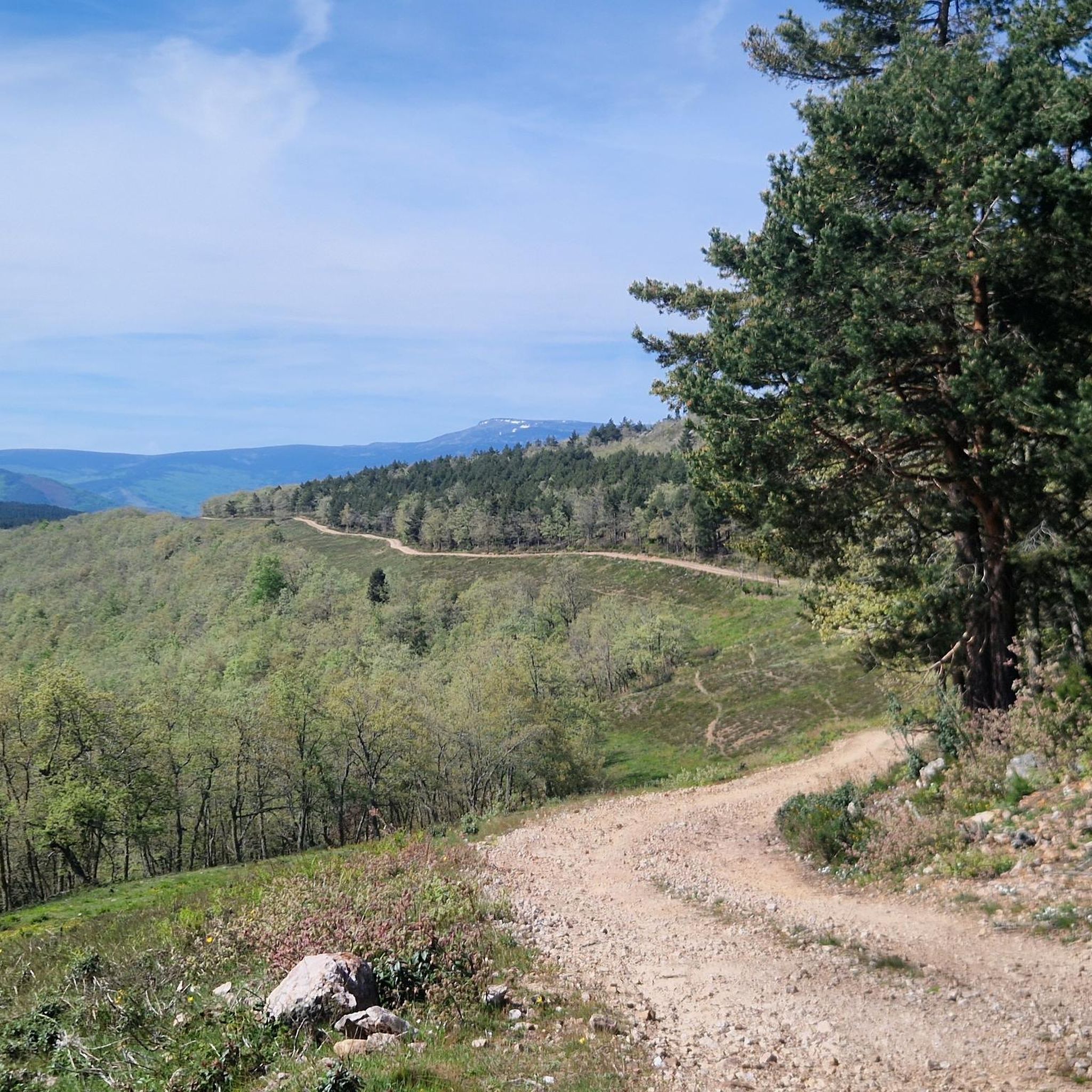
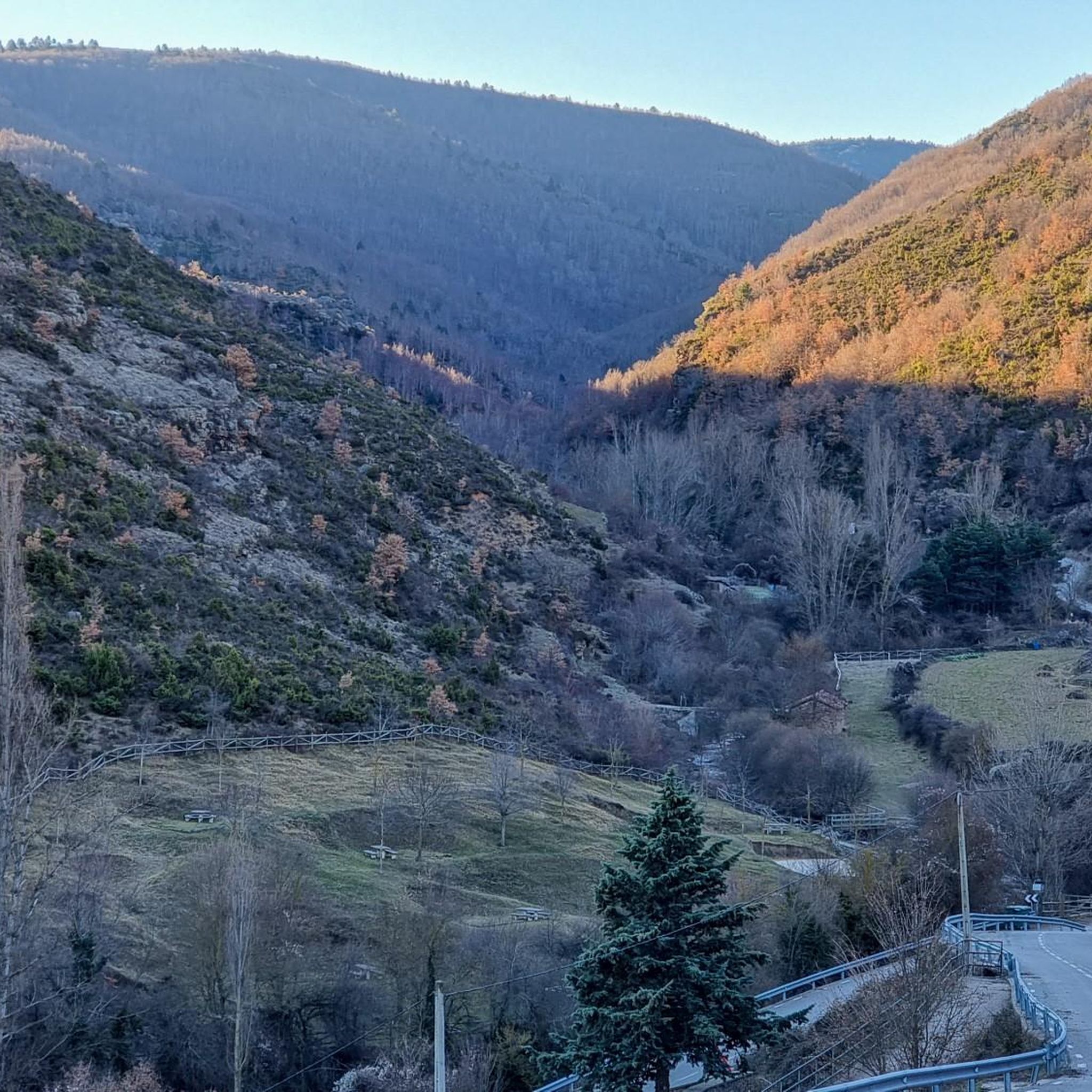
Hiking around Cabezón De Cameros offers diverse and rugged landscapes within the Sierra de Los Cameros, part of the Ibérica mountain chain. The region is characterized by mountainous terrain, featuring extensive forests of beech, oak, and pine, alongside the Leza River basin. Hikers can explore the dramatic Leza River Canyon and the varied environments of the nearby Sierra Cebollera Natural Park. This area provides a network of trails suitable for experiencing its natural features.
Best hiking trails around Cabezón De…
Last updated: May 18, 2026
5.0
(1)
9
hikers
Moderate hike. Good fitness required. Easily-accessible paths. Suitable for all skill levels.
4
hikers
3.60km
01:21
240m
240m
Easy hike. Great for any fitness level. Easily-accessible paths. Suitable for all skill levels.

Sign up for free
3.0
(1)
3
hikers
13.7km
03:53
310m
310m
Moderate hike. Good fitness required. Easily-accessible paths. Suitable for all skill levels.
3
hikers
8.22km
02:25
240m
240m
Moderate hike. Good fitness required. Easily-accessible paths. Suitable for all skill levels.
Moderate hike. Good fitness required. Easily-accessible paths. Suitable for all skill levels.
Our route recommendations are based on thousands of hikes, rides, and runs completed by other people on komoot.
Start today with a free account
Your next adventure awaits.
Login or Signup
Popular around Cabezón De Cameros
Tips from the Community

Many of the towns and villages in the Camero Viejo region still preserve their meadows today. Long ago, the pastures were very important for these rural areas where cattle were the main source of wealth. Unfortunately, today only a few have been well preserved to walk inside. Luckily, the San Román pasture meets that requirement and exploring it is a delight.
0
0
Small village that in 2022 had only 17 inhabitants. It is located in the Camero Nuevo region. Its parish church of Nuestra Señora de la Asunción houses a Baroque altarpiece and a Gothic crucifix from the 14th century.
0
0
Small village of about 70 inhabitants. Two pilgrimages are held every year in the Lollano hermitage: the first Sunday in June and the last Sunday in September.
0
0

Known as Pantano de Ortigosa or Embalse de González-Lacasa, the dam is located between the towns of Ortigosa de Cameros, El Rasillo and Peñaloscintos, in Camero Nuevo. The reservoir is located on the Alberco river, although its waters come from the Iregua river, where the water is transferred through an underground channel from downstream of Villoslada.
3
0
Small town at an altitude of 880 meters within the Tierra de Cameros region, specifically in the Camero Nuevo subregion. The relief of the municipality is marked by the valley of the Iregua river through which the streams come down from the high mountains of the Sierra de Camero Nuevo. In the middle of the town stands the parish church of San Martín, which consists of a Baroque part and another part from the 18th century.
3
0

San Román is the ideal base for any activity in the Leza Valley. It is the largest town in Camero Viejo and the one with the most services. Although there is only one bar/restaurant, Montereal, it is always open and you can taste typical Rioja dishes. Its municipal term covers several towns and its paths are very well preserved. The houses around the church and the church itself are very well preserved. There are hardly any modern structures and a walk through its streets takes you back in time and to the traditional Rioja popular architecture.
0
0
In the Cameros region, this reservoir is a great source of resources. Beautiful place with good views and the possibility of bathing, sunbathing, eating and having a drink.
1
0
Better known by local people as “El swamp del Rasillo” or “El Pantano de Ortigosa”, it is located at an altitude of 1,000 meters, surrounded by pine forests, in the Sierra de Cameros in La Rioja. There are good views, and the possibility of bathing, sunbathing, eating and having a drink.
3
0
Frequently Asked Questions
What kind of terrain can I expect on hiking trails around Cabezón De Cameros?
The region is characterized by mountainous terrain with extensive forests of beech, oak, acacia, and wild pines. You'll find paths traversing the dramatic Leza River Canyon and varied environments within the nearby Sierra Cebollera Natural Park. Some trails, like the "Cerro 1800 Trail", might involve loose stone and rock gardens, while others explore traditional dehesas.
Are there any easy hiking trails suitable for beginners or a relaxed walk?
Yes, there is at least one easy route available. For a shorter, less strenuous option, consider the Viguera Waterfall (Chorrón de Viguera) loop from El Chorrón. This trail is 3.6 km long and takes approximately 1 hour 20 minutes to complete, offering a pleasant walk to a waterfall.
What natural features or landmarks can I see while hiking in the area?
Hikers can explore several significant natural features and landmarks. The dramatic Leza River Canyon is a highlight, offering breathtaking views and opportunities to spot griffon vultures. You can also visit the Puerto de la Rasa (1,420 m) for expansive valley views. The broader Cameros region is also known for its dinosaur footprints, adding a unique paleontological interest. For a specific natural attraction, the Viguera Waterfall (Chorrón de Viguera) is accessible via an easy loop trail.
Are there any circular hiking routes available?
Yes, many of the trails around Cabezón De Cameros are designed as loops. For example, you can enjoy the San Román Dehesa – Dehesa of San Román de Cameros loop from San Román de Cameros, which is a moderate 8.9 km route. Another option is the Villanueva de Cameros – González Lacasa Reservoir loop from Pradillo, a moderate 13.7 km path offering reservoir views.
What do other hikers say about the trails in Cabezón De Cameros?
The hiking routes in Cabezón De Cameros are highly rated by the komoot community, with an average score of 4.0 stars. Hikers often appreciate the varied terrain, from extensive forests to the dramatic Leza River Canyon, and the options for both easy and moderate ability levels.
Are there any trails that pass by reservoirs or significant water bodies?
Yes, the Villanueva de Cameros – González Lacasa Reservoir loop from Pradillo is a moderate 13.7 km trail that offers scenic views of the González Lacasa Reservoir and the surrounding forests.
What is the best time of year to go hiking in Cabezón De Cameros?
The region benefits from a pleasant summer climate, making it ideal for walking and cycling excursions during that season. However, the extensive forests of beech, oak, and pine also transform into a spectacle of colors, especially in autumn, which can be a beautiful time for hiking.
Can I find trails that start directly from Cabezón De Cameros or nearby villages?
While some trails are accessible from Cabezón De Cameros, many popular routes start from nearby villages. For instance, the San Román Dehesa – Dehesa of San Román de Cameros loop begins in San Román de Cameros, and routes like the Gallinero de Cameros loop start from Pradillo. San Román de Cameros itself is an excellent base with well-maintained paths.
Are there any specific trails that offer good views?
Many trails in the mountainous terrain of Cabezón De Cameros offer excellent views. The Leza River Canyon provides breathtaking vistas, and the Puerto de la Rasa (1,420 m) is known for its expansive views of the surrounding valley. The "Cerro 1800 Trail" is also noted for its beautiful views and scenic woodland passages.
Are there any historical or cultural sites to explore near the hiking trails?
Yes, the region has a rich history. Villages like San Román de Cameros showcase traditional popular architecture with well-preserved stone houses and churches. In Cabezón de Cameros, you can see the 16th-century La Asunción Church and the 19th-century Ermita de Jesús, María y José. The presence of ancient watermills also speaks to the area's historical past. You can visit San Román de Cameros as a point of interest.
How many hiking trails are available around Cabezón De Cameros?
There are at least 5 distinct hiking trails documented around Cabezón De Cameros, offering a range of experiences from easy walks to moderate excursions through the region's diverse landscapes.
Are there any trails that lead through dense forests?
Absolutely. The region is known for its extensive forests of beech, oak, acacia, and wild pines. Trails like the Gallinero de Cameros loop from Pradillo lead through forested areas, providing a beautiful and immersive woodland experience, especially vibrant in autumn.
Most popular routes around Cabezón De Cameros
Most popular attractions around Cabezón De Cameros

Get inspired with the komoot mobile app


Explore more
Browse the best Hikes in other regions.
