The best cycling routes around Santa María Del Arroyo
22
riders
7
rides
Touring cycling routes around Santa María Del Arroyo are situated in the Amblés Valley at the foothills of the Sierra de Ávila, Spain, at an altitude of 1,131 meters. The region features diverse terrain, including the valley's flatter sections and ascents into the Sierra de Ávila. Granitic promontories and traditional architecture add to the visual interest of the area. Routes often provide views of the Sierra de la Paramera, La Serrota, and the Amblés Valley.
Best touring cycling routes around…
Last updated: June 29, 2026
4
riders
27.8km
02:06
340m
340m
Moderate bike ride. Good fitness required. Mostly paved surfaces. Suitable for all skill levels.
4
riders
28.2km
02:08
360m
360m
Moderate bike ride. Good fitness required. Mostly paved surfaces. Suitable for all skill levels.

Sign up for free
3
riders
33.1km
02:45
250m
250m
Moderate bike ride. Good fitness required. Mostly paved surfaces. Suitable for all skill levels.
2
riders
15.6km
01:33
330m
330m
Moderate bike ride. Good fitness required. Mostly paved surfaces. Suitable for all skill levels.
2
riders
27.2km
02:16
190m
190m
Moderate bike ride. Good fitness required. Mostly paved surfaces. Suitable for all skill levels.
Get access to more routes and recommendations from other explorers.
Sign up for free
Already have an account?
Our route recommendations are based on thousands of hikes, rides, and runs completed by other people on komoot.
Start today with a free account
Your next adventure awaits.
Login or Signup

Tips from the Community

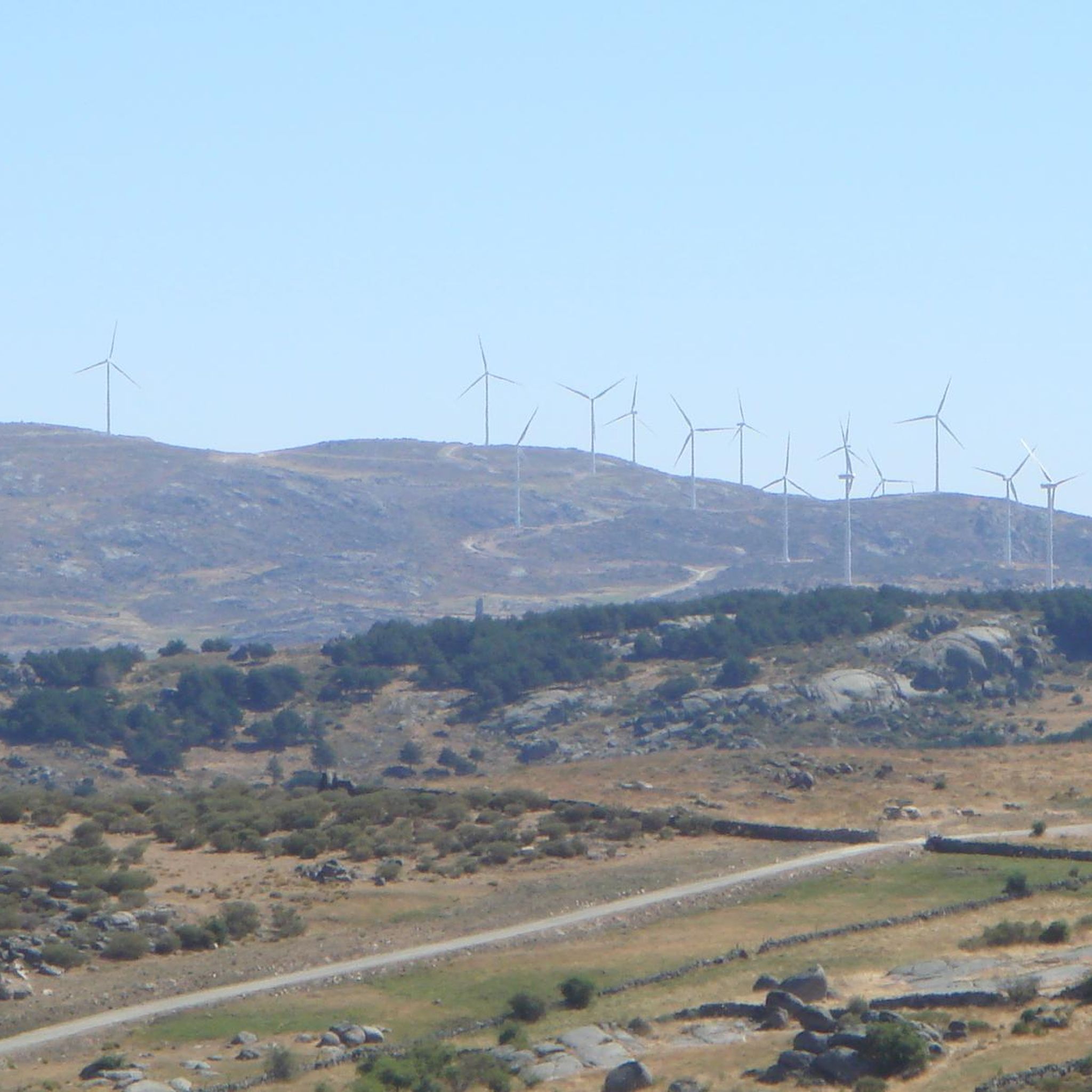
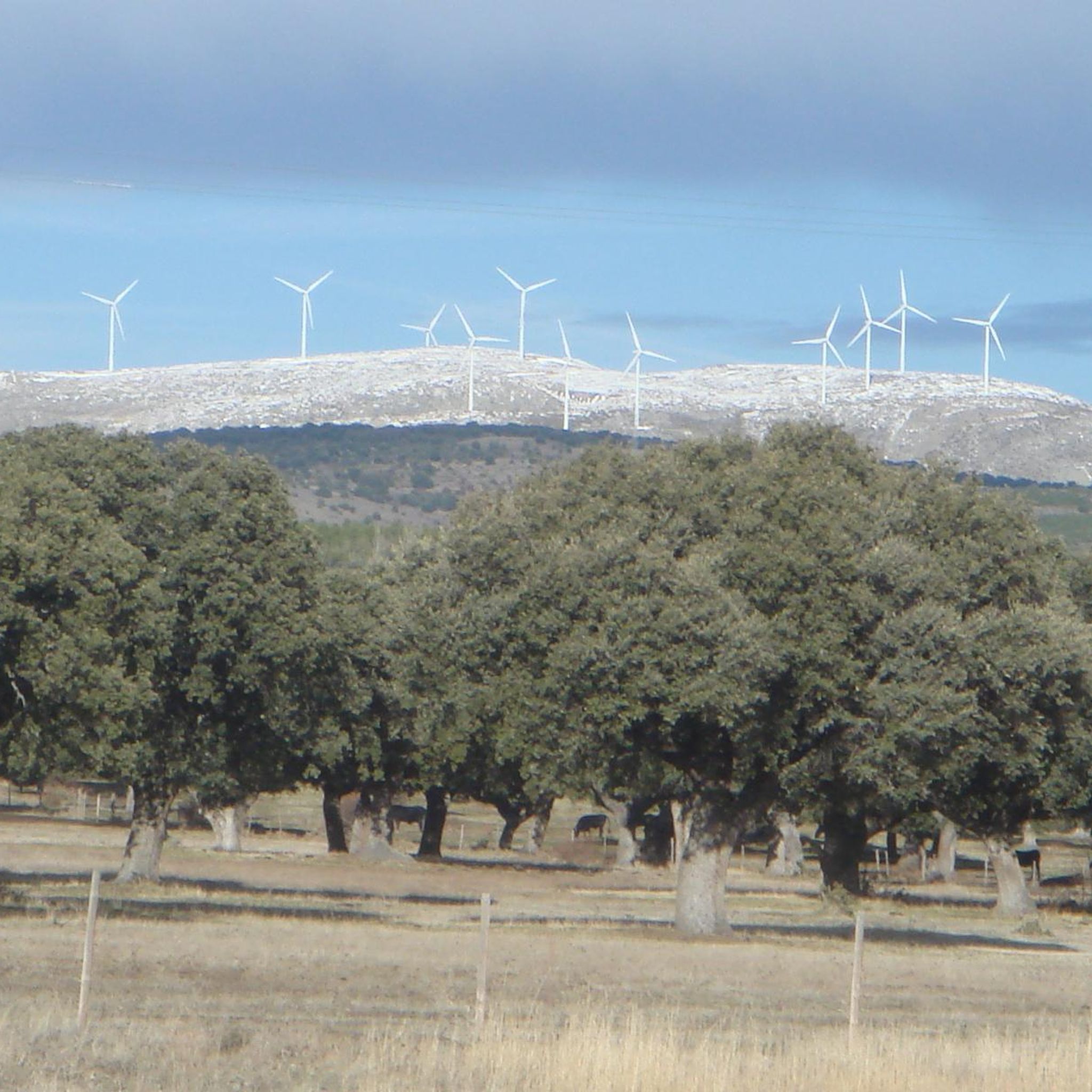
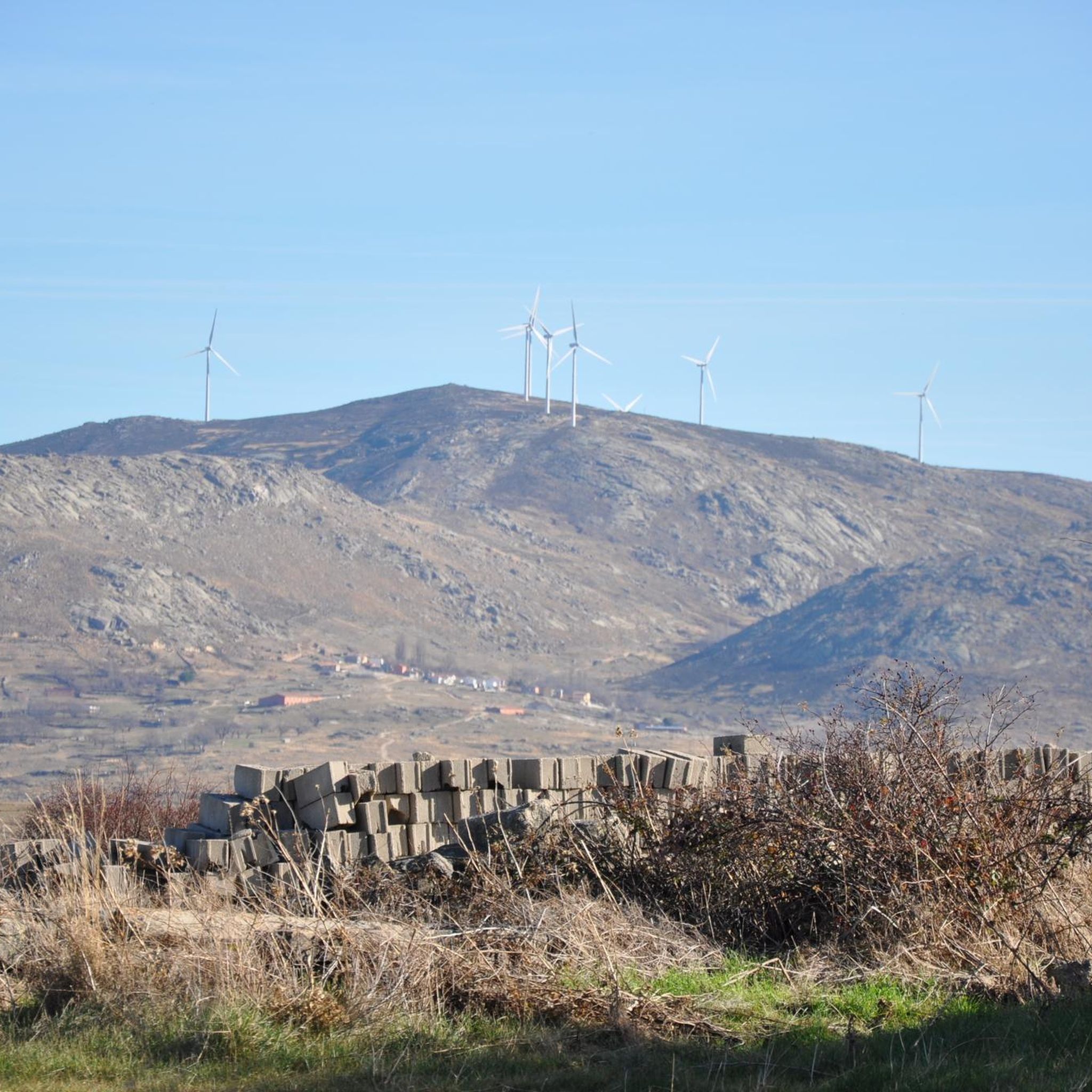
Population that is located at the foot of the northern side of the Sierra de Panamera and that on one of its sides is the Castillo de Manqueospese. As it is surrounded by mountains, as soon as you get up, you can see the entire core.
0
0
Small town that is located in what is called the Valle de Amblés and that is a few kilometers from its capital, Ávila. From the core, you can begin to see the first forms of the Sierra de Paramera and Gredos.
0
0
The relief of the municipality is formed by two mountainous areas separated by the Amblés valley, through which the Adaja river runs, which is born in the territory. The northern area is called Sierra de Villanueva, a branch of the Sierra de Ávila.
0
0
Frequently Asked Questions
What kind of terrain can I expect when touring cycling around Santa María Del Arroyo?
The region offers a diverse landscape for touring cyclists. You'll find relatively flatter sections within the Amblés Valley, contrasting with ascents into the foothills of the Sierra de Ávila. The area is also characterized by granitic promontories and traditional architecture, providing varied visual interest throughout your ride.
Are there any challenging touring cycling routes in the area?
Yes, for experienced touring cyclists seeking a challenge, there are difficult routes available. One such route is the Chía Pass – Chía Pass (1,663 m) loop from Solosancho, which covers over 80 kilometers and involves significant elevation gain.
What are some notable natural features or landmarks I might see on a touring cycling route?
As you cycle, you can enjoy impressive views of the Sierra de la Paramera, La Serrota, and the Amblés Valley. The region also features significant natural landmarks like Las Fuentes Pass, located at 1,499 meters, and the prominent Cerro de Gorría, which offers panoramic vistas. You might also encounter cultural highlights such as the Rollo de Muñotello or the Plaza de la Torre and Fuente de Piedra.
Are there any shorter, moderate touring cycling routes suitable for a quicker ride?
Absolutely. For a moderate ride that's not too long, consider the Sotalbo loop from Sotalbo. This route is about 15.5 kilometers and can be completed in under an hour and a half, offering a pleasant experience through the local landscape.
What is the best time of year for touring cycling in Santa María Del Arroyo?
Given its altitude of 1,131 meters and location in the Amblés Valley at the foothills of the Sierra de Ávila, spring and autumn generally offer the most pleasant conditions for touring cycling. Temperatures are milder, and the scenery is vibrant. Summers can be hot, especially in the valley, while winters may bring colder temperatures and potential snow at higher elevations.
Can I find circular touring cycling routes that start and end in the same place?
Yes, many of the touring cycling routes in the area are designed as loops. For example, the Chía Pass – Chía Pass (1,663 m) loop from Solosancho is a challenging circular route, and the Sotalbo loop from Sotalbo offers a moderate circular option.
Are there any touring cycling routes that pass through villages or settlements?
Yes, some routes connect local villages, allowing you to experience the traditional architecture and local life. The Oco Village Water Pond – Muñogalindo loop from Muñana, for instance, offers valley views and connects local settlements like Muñogalindo.
What kind of views can I expect on the touring cycling routes?
The routes frequently offer spectacular panoramic views. You can expect to see the expansive Amblés Valley, the rugged Sierra de la Paramera, and the distant peaks of La Serrota. Some routes also provide stunning backdrops of the Gredos mountain range.
How many touring cycling routes are available in the Santa María Del Arroyo area?
There are several touring cycling routes documented for the Santa María Del Arroyo area, with a total of 5 routes currently featured, catering to both moderate and difficult skill levels.
Are there routes suitable for touring cyclists looking for a moderate challenge?
Yes, the majority of routes in the area are classified as moderate. An example is the Bike loop from Narros del Puerto, which is a moderate 33.1-kilometer trail that takes about 2 hours and 45 minutes to complete, leading through varied terrain.
What is the highest point reached on a touring cycling route in this region?
One of the highest points you can reach on a touring cycling route here is Las Fuentes Pass, which stands at 1,499 meters above sea level. The Chía Pass – Chía Pass (1,663 m) loop from Solosancho also takes you to significant elevations, reaching 1,663 meters.
What makes the touring cycling experience unique in Santa María Del Arroyo?
The unique combination of the Amblés Valley's gentle slopes and the challenging ascents into the Sierra de Ávila foothills, coupled with the presence of granitic promontories and traditional architecture, creates a distinct and varied touring cycling experience. The panoramic views of surrounding mountain ranges like Gredos, Sierra de la Paramera, and La Serrota further enhance the scenic beauty of the rides.
Most popular attractions around Santa María Del Arroyo

Get inspired with the komoot mobile app


Explore more
Browse the best Cycling routes in other regions.
