The best running trails in Sierra De Castril
15
runners
4
runs
Jogging routes in Sierra de Castril traverse a rugged and diverse natural landscape, characterized by dramatic topography including ravines, hills, and steep cliffs. The region is a limestone massif, shaped by water erosion, creating spectacular geological formations and deep river features along the Castril River. Runners can experience varied terrain from lush river valleys to higher elevations with pine forests and Mediterranean scrubland. The area offers a range of challenges and scenic routes for different fitness levels.
Best jogging routes…
Last updated: June 27, 2026
4
runners
Hard run. Very good fitness required. Sure-footedness, sturdy shoes and alpine experience required.
3.86km
00:28
90m
90m
Easy run. Great for any fitness level. Mostly paved surfaces. Suitable for all skill levels.

Sign up for free
1
runners
11.1km
01:27
430m
420m
Jog the Barranco de las Sabinas to Guazalamanco Trail, a difficult 6.9-mile route with waterfalls and varied terrain in Cazorla Natural Park
10
runners
3.02km
00:24
90m
90m
Easy run. Great for any fitness level. Mostly paved surfaces. Suitable for all skill levels.
Our route recommendations are based on thousands of hikes, rides, and runs completed by other people on komoot.
Start today with a free account
Your next adventure awaits.
Login or Signup
Popular around Sierra De Castril
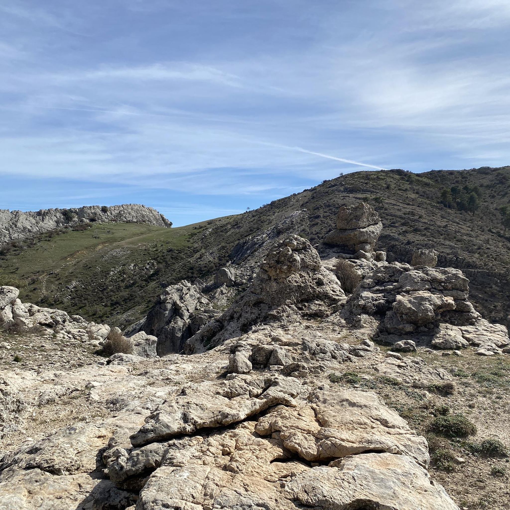
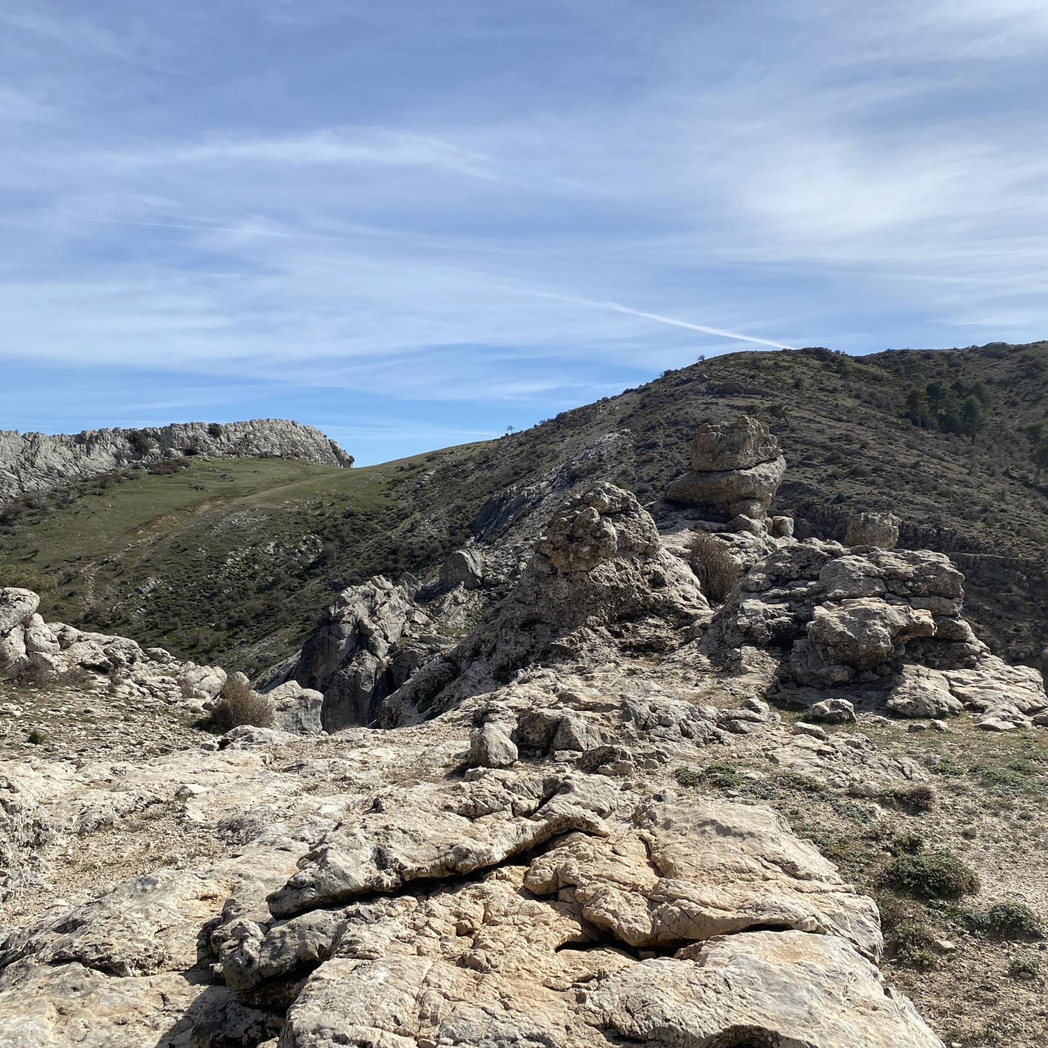
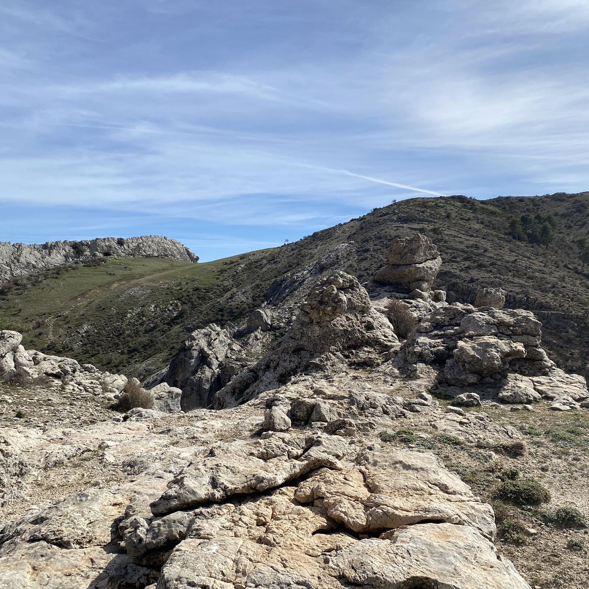
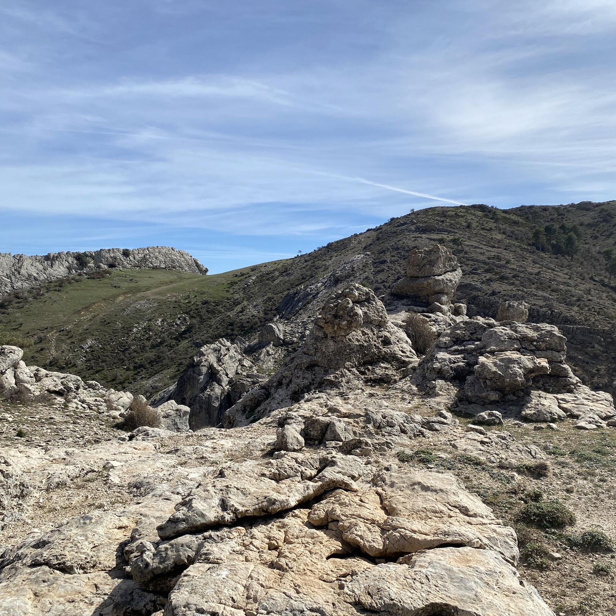
Tips from the Community

Castril is a wonderful destination in the province of Granada! Castril Castle: Located on La Peña, this castle offers stunning views of the town and its surroundings. Although it is in ruins, it can be visited on guided tours Historic Center: Stroll through the cobbled streets and white houses adorned with flowers. Don't miss the Church of Nuestra Señora de los Ángeles Sendero de la Cerrada del Río Castril: A spectacular walk through walkways and wooden bridges over the Castril River Sierra de Castril Natural Park: Enjoy nature with trails, waterfalls and stunning landscapes
8
0
The El Portillo reservoir or El Portillo Dam is located on the Castril River, in the municipality of Castril, in the province of Granada. This reservoir belongs to the Guadalquivir Hydrographic Confederation, in the Granada area.
8
0

A tributary of the Bolera reservoir, it creates an idyllic landscape full of life. It is worth visiting.
0
0

Set of small waterfalls that form the Guazalamanco waterfalls, located on the river of the same name. After a rainy season, the waterfalls offer a very beautiful natural spectacle.
0
0

Small and secluded mountain town whose inhabitants care with care and defend despite the difficulties that towns like this usually face. Thanks to their efforts, the town was declared a Site of Historic-Artistic Interest in 1982.
2
0
This reservoir has a triple purpose of supply, irrigation and electricity production. It belongs to the Guadalquivir Hydrographic Confederation. The reservoir is fed by the Castril river, which is born in the Sierra of the same name and flows into the minor Guadiana.
2
0
Set of small waterfalls that form the Guazalamanco waterfalls, located on the river of the same name. After a rainy season, the waterfalls offer a very beautiful natural spectacle.
0
1

Waterfalls of great beauty.
0
1
Frequently Asked Questions
What kind of terrain will I encounter on running trails in Sierra de Castril?
Running trails in Sierra de Castril offer a diverse and rugged landscape. You'll find everything from lush river valleys along the Castril River to challenging climbs through limestone massifs and pine forests. The region is characterized by dramatic topography, including ravines, hills, and steep cliffs, with spectacular geological formations like gorges and canyons.
Are there any easy running routes suitable for beginners in Sierra de Castril?
Yes, Sierra de Castril has routes suitable for beginners. For an accessible and scenic run, consider the Embalse del Portillo – race from Castril de la Peña. This easy 2.4-mile (3.8 km) path offers pleasant views of the El Portillo reservoir. Another easy option is the Guazalamanco Waterfall loop from Mirador Guazalamanco, a 1.9-mile (3.0 km) trail through river valleys.
Can I find longer or more challenging running routes in the area?
Absolutely. For a more challenging experience, the Nacimiento del Río Castril – Cueva de la Osa loop from Parque Natural Sierra de Castril is a difficult 5.1-mile (8.1 km) trail with significant elevation gain through mountainous terrain. Another demanding option is the Barranco de las Sabinas to Guazalamanco Trail, which spans over 6.9 miles (11.1 km) and features considerable elevation changes.
Are there any running trails that feature waterfalls or significant water features?
Yes, the Sierra de Castril is rich in water features. The Guazalamanco Waterfall loop from Mirador Guazalamanco is a great option, leading you directly to a waterfall. The Castril River itself is central to the park, carving deep features and offering lush vegetation along its banks. You might also encounter the spectacular Magdalena waterfall mentioned in regional research.
What natural landmarks or viewpoints can I see while running in Sierra de Castril?
The park offers numerous natural landmarks and stunning viewpoints. You can explore the Source of the Castril River, or discover geological formations like Barranco de Túnez and the Cuevas Bermejas Arch. From elevated points, such as the remains of the Castril castle, you can enjoy breathtaking panoramic views of the mountain range and the Portillo Reservoir.
Are there any circular running routes available?
Yes, several routes offer a circular experience. The Nacimiento del Río Castril – Cueva de la Osa loop from Parque Natural Sierra de Castril is a popular circular trail. Another loop option is the Guazalamanco Waterfall loop from Mirador Guazalamanco, which provides a scenic round trip.
Is Sierra de Castril suitable for family-friendly jogging or running with children?
While specific 'family-friendly' jogging routes are not explicitly detailed, the region offers paths that are generally accessible. The Sendero del Río Castril (Castril River Path), mentioned in regional research, is a popular and relatively easy 2.2 km path along wooden footbridges, suitable for a scenic and accessible jog with family. For komoot routes, the easy options like the Embalse del Portillo route could also be suitable for families.
What is the best time of year to go running in Sierra de Castril?
The Sierra de Castril offers varied conditions throughout the year. Spring and autumn generally provide the most pleasant temperatures for running, with lush vegetation and comfortable weather. Summers can be hot, especially at lower elevations, so early morning or late afternoon runs are advisable. Winters can bring colder temperatures and potentially snow at higher altitudes, offering a different, more challenging experience for trail runners.
Can I expect to see any wildlife while out on the trails?
Sierra de Castril is a Special Protection Area for Birds (ZEPA) and is home to diverse fauna. While running, you might spot griffon vultures soaring overhead, or catch glimpses of ibex, mouflon, and wild boar. The varied habitats, from riverbanks to high peaks, support a rich array of species, adding an exciting dimension to your outdoor activity.
Are there any specific trails that offer unique experiences, like footbridges or tunnels?
Yes, the Sendero del Río Castril (Castril River Path), highlighted in regional research, is famous for its unique features. This path often follows wooden footbridges, includes a suspension bridge, and even passes through tunnels, offering a truly distinctive and memorable running experience through the gorge.
How many running routes are available in Sierra de Castril on komoot?
Komoot features over 4 running routes in Sierra de Castril, catering to various fitness levels. These include 2 easy routes and 2 difficult routes, ensuring there's an option for every runner looking to explore the region's beautiful landscapes.
What do other runners enjoy most about jogging in Sierra de Castril?
Runners often praise the diverse and dramatic natural landscape of Sierra de Castril. The combination of rugged topography, the serene Castril River, and the challenging yet rewarding trails through limestone massifs and pine forests are frequently highlighted. The opportunity to experience varied terrain, from gentle riverside paths to more strenuous climbs, is also a key draw for the komoot community.
Most popular routes in Sierra De Castril
Most popular attractions in Sierra De Castril

Get inspired with the komoot mobile app


Explore more
Browse the best Running Trails & Routes in other regions.
