The best MTB trails around Lake Gołdap / озеро Красное
38
riders
19
rides
Mountain biking around Lake Gołdap / озеро Красное offers a diverse landscape for riders. The region features a mix of natural paths through pine, birch, and spruce forests, alongside areas with more developed trail systems. Riders can expect varied terrain, including sections with moderate elevation changes and some machine-groomed downhill trails. The area provides a suitable environment for mountain biking, with routes catering to different skill levels.
Best mountain bike trails around Lake Gołdap / озеро Красное
- The most popular…
Last updated: July 10, 2026
1
riders
45.4km
03:23
280m
280m
Moderate mountain bike ride. Good fitness required. Suitable for all skill levels.
2
riders
24.9km
01:47
150m
150m
Easy mountain bike ride. Great for any fitness level. Suitable for all skill levels.

Sign up for free
1
riders
68.6km
04:45
400m
400m
Moderate mountain bike ride. Good fitness required. Suitable for all skill levels.
5
riders
119km
08:31
860m
860m
Hard mountain bike ride. Very good fitness required. Suitable for all skill levels.
2
riders
32.1km
02:24
180m
180m
Moderate mountain bike ride. Good fitness required. Suitable for all skill levels.
Get access to more routes and recommendations from other explorers.
Sign up for free
Already have an account?
Our route recommendations are based on thousands of hikes, rides, and runs completed by other people on komoot.
Start today with a free account
Your next adventure awaits.
Login or Signup


Tips from the Community

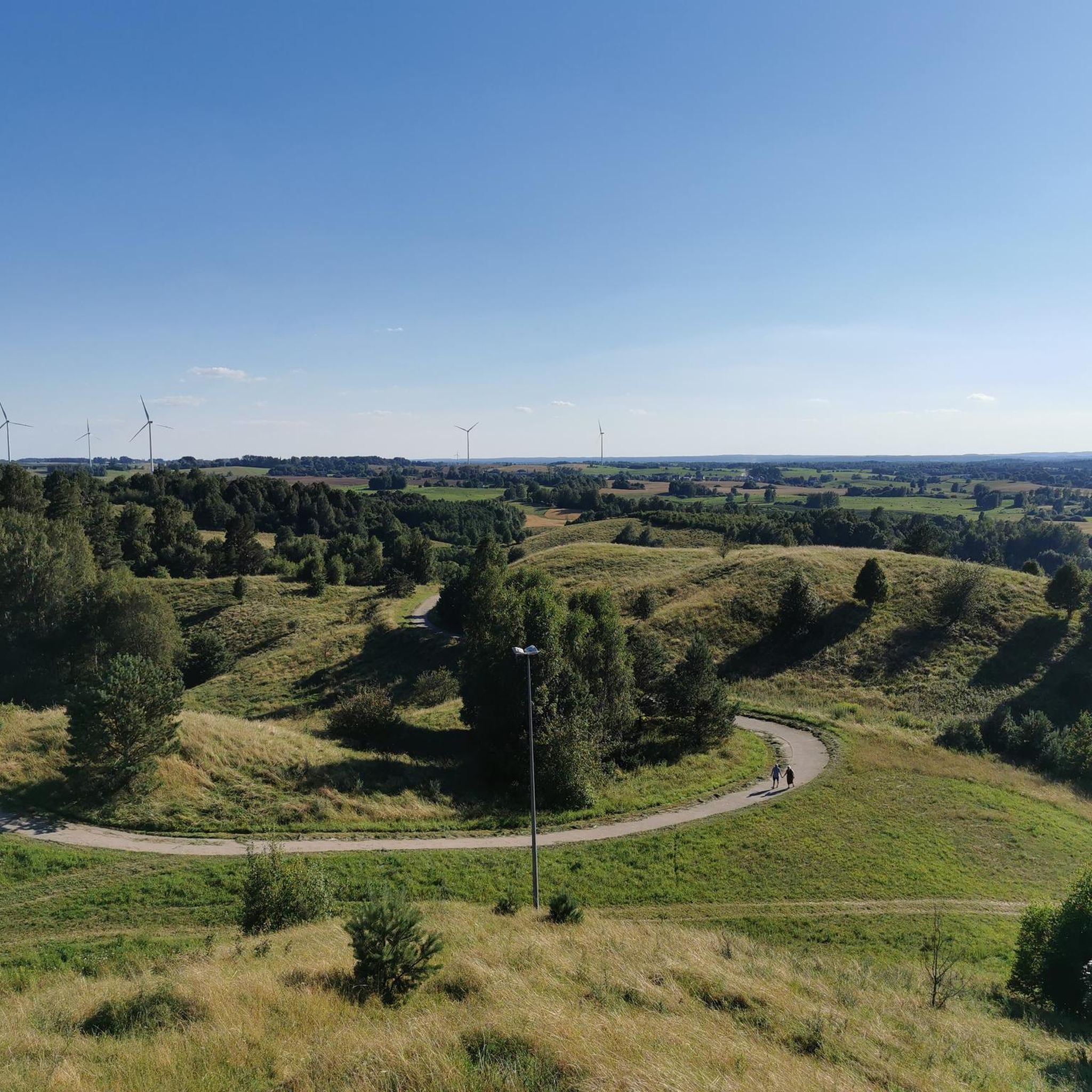
The Gołdapska Góra (Geiersberg), with its height of 272 meters, is one of the most striking elevations in the ice-age-shaped Masurian hill country. For you as a cyclist or hiker, the ascent is worthwhile, as from the viewing tower there you can enjoy a wide panoramic view over the town of Gołdap and the dense forests of the Rominter Heide. By the way, the revolving café on the summit is a special treat!
2
0

A fascinating, though lesser-known, element of former Prussian railway infrastructure. This structure was located on the historic line connecting Gołdap with Żytkiejmy. The bridge was part of the so-called Third Transport Corridor of East Prussia. This line ran through the picturesque, undulating terrain of the Garbate Mazury region, bordering the Romincka Forest. Regular passenger traffic ceased here during World War II. In 1945, the retreating Red Army dismantled the tracks and carted them away as war booty, leading to the final liquidation of the line. Today, in Skajzgiry, remnants of the bridgeheads and foundations can be found, slowly disappearing into the undergrowth. The site lies on the so-called Broken Semaphore Trail, which attracts railway tourism and history enthusiasts.
1
0
Quite a nice gravel road, perfect for gravel riding
1
0
Historic buildings and landscapes typical of the region, with remnants of Teutonic history and German heritage. Wooden or brick residential and farm buildings, often of simple, traditional construction, typical of Masuria.
1
0
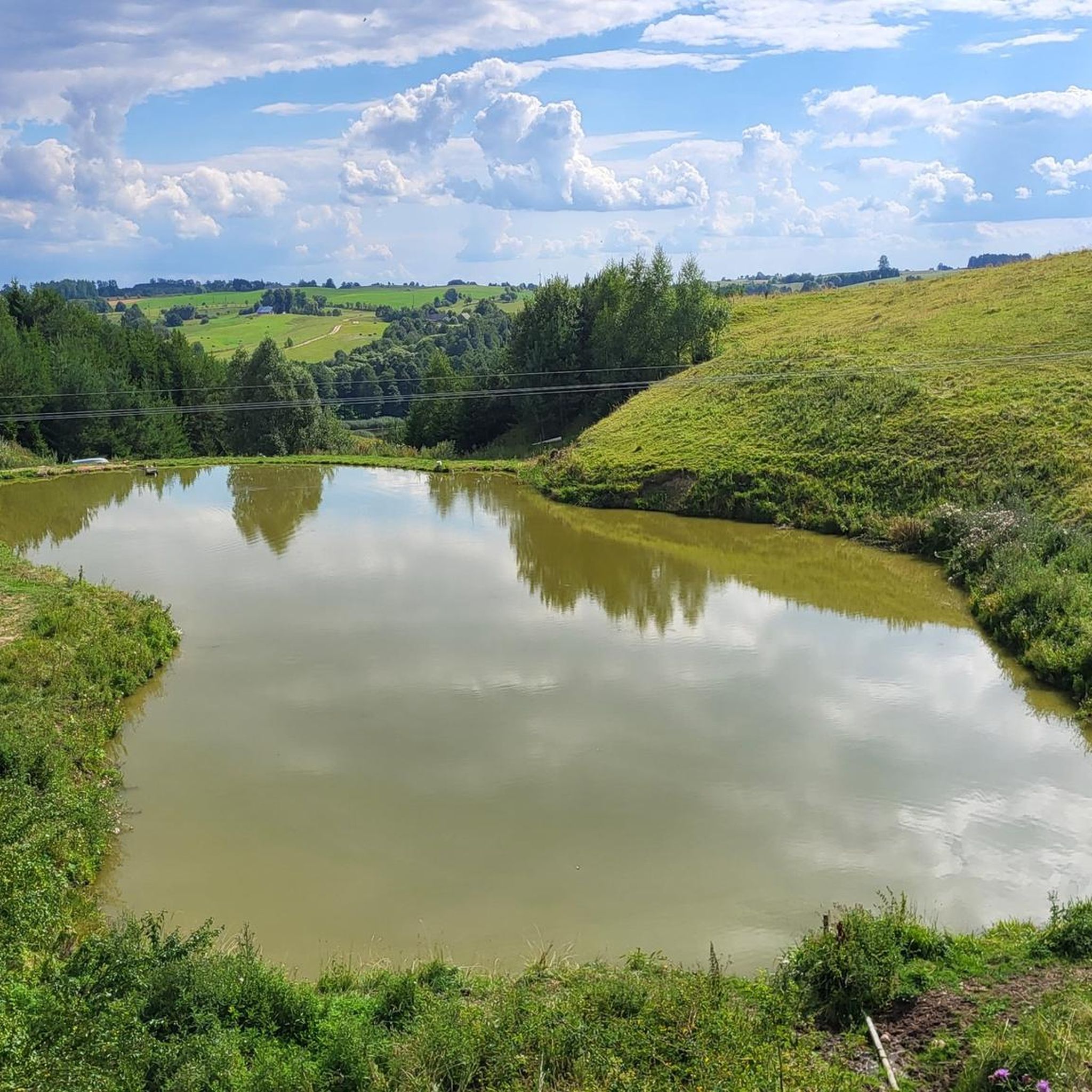
All that remains of the original brickyard are the ruins of buildings and a distinctive, tall chimney, visible from afar. The area from which the clay was extracted was flooded and now forms a charming lake.
1
0

The bridges in Stańczyki, often called the "Aqueducts of the Romincka Forest," are among the highest railway bridges in Poland – 180 meters long and reaching a height of 36.5 meters. Built between 1912 and 1918 in a style reminiscent of Roman aqueducts, they were intended to be part of a major railway line, but the line operated only as a local route until 1945. Today, the tracks no longer exist, and the impressive structures have become a tourist attraction and a bungee jumping site. Situated on the Błędzianka River and surrounded by picturesque scenery, they are a destination for bicycle tours and a good place to rest. Admission to the bridges is charged, but the view and history of the site are definitely worth a visit.
2
0

A spa town near the pump room
1
0

The Botkuny railway bridges were built in the first half of the 20th century and were built in the style of Italian aqueducts. Their construction is related to the Gołdap-Żytkiejmy route. The viaducts connect the banks of the Jarka river valley. An interesting description can be found on the website: https://mazury.com.pl/atrakcje/mosty-kolejowe-botkuny/
0
0
Frequently Asked Questions
What kind of terrain can I expect on mountain bike trails around Lake Gołdap / озеро Красное?
The region offers a diverse landscape for mountain biking. You'll find a mix of natural paths winding through pine, birch, and spruce forests. Riders can expect varied terrain, including sections with moderate elevation changes and some machine-groomed downhill trails, particularly near the Krasnoye Ozero area in Russia. The trails cater to different skill levels, from gentle forest paths to more challenging long-distance routes.
Are there mountain bike trails suitable for beginners or families around Lake Gołdap / озеро Красное?
Yes, there are trails suitable for less experienced riders. The area includes easy routes that navigate through forested areas with gentle climbs. For example, there is 1 easy trail available, and 6 moderate trails that can be enjoyed by those looking for a less strenuous ride.
Are there any challenging mountain bike routes for experienced riders?
Absolutely. For experienced mountain bikers seeking a challenge, the region offers more demanding routes. One notable difficult route is The observation tower in Stańczyki – Bridges in Stańczyki loop from Osiedle pod Lasem, which covers 74.1 miles (119.2 km) and leads through varied forest and open landscapes, often taking over 8 hours to complete.
What are some scenic highlights or viewpoints along the mountain bike trails?
Many routes offer beautiful lake views and pass by notable landmarks. For instance, the Gazebo by Jezioro Czarne – Stańczyki Observation Tower loop from Szyliny provides views of the lakes and goes past the Stańczyki Observation Tower. The region is characterized by dense woodlands and varied terrain, offering picturesque scenery throughout your ride.
Are there any loop trails for mountain biking around Lake Gołdap / озеро Красное?
Yes, many of the mountain bike routes in the area are designed as loops, allowing you to start and finish at the same point. Examples include Wilhelm II Boulder — Small loop from Szyliny, Gazebo by Jezioro Czarne – Stańczyki Observation Tower loop from Szyliny, and The observation tower in Stańczyki – Bridges in Stańczyki loop from Osiedle pod Lasem.
What is the best time of year for mountain biking in this region?
While specific seasonal recommendations are not detailed, the presence of a dedicated trail system and varied landscapes suggests that spring, summer, and autumn would be ideal for mountain biking. The Krasnoye Ozero area in Russia is known for year-round recreational activities, including winter sports, implying that some trails might be accessible or adapted for winter use, though specific winter mountain biking trails are not explicitly detailed.
Are there any specific trails that offer a good balance of distance and elevation?
For a moderate ride with a good balance, consider the Seniorita loop from Gołdap. This route covers 33.4 miles (53.7 km) with approximately 275 meters of elevation gain, typically taking around 3 hours and 30 minutes to complete.
How long does it typically take to complete a mountain bike tour in the area?
Tour durations vary significantly based on the route's distance and difficulty. For example, a moderate route like Jezioro Ostrówek – Zalew Nad Ustroniem loop from Osiedle pod Lasem is about 20.2 miles (32.5 km) and takes approximately 2 hours and 25 minutes. Longer, more challenging routes can take upwards of 8 hours.
What do other mountain bikers enjoy most about the trails around Lake Gołdap / озеро Красное?
The komoot community frequently praises the varied terrain and the opportunity to ride through dense woodlands and past scenic lake views. Riders appreciate the options available for different ability levels, from moderate forest paths to more challenging long-distance routes. Over 19 mountain bikers have used komoot to explore the region's diverse trails.
Are there any specific trails that are considered 'hidden gems' or less frequented?
While specific 'hidden gems' are not highlighted, the region offers a total of 8 mountain bike trails, providing ample opportunity to explore less crowded paths. Routes that start from smaller villages like Osiedle pod Lasem, such as Jezioro Ostrówek – Zalew Nad Ustroniem loop from Osiedle pod Lasem, might offer a more secluded experience compared to those starting from more central locations.
What is the overall difficulty level of mountain biking in this region?
The mountain biking trails around Lake Gołdap / озеро Красное cater to a range of skill levels. Out of the 8 available routes, there is 1 easy trail, 6 moderate trails, and 1 difficult trail. This variety ensures that both beginners and experienced riders can find suitable options.
Most popular routes around Lake Gołdap / озеро Красное

Get inspired with the komoot mobile app


Explore more
Browse the best MTB trails in other regions.
