The best road cycling routes around Stužica
5.0
(4)
318
riders
5
rides
Road cycling around Stužica features routes through the Bieszczady Mountains, characterized by significant elevation changes and forested landscapes. The region offers varied terrain, from challenging climbs to routes traversing mountain passes. Road cyclists can expect to navigate winding roads with views of the surrounding natural park. The area's topography provides a diverse experience for those seeking routes with notable ascents and descents.
Best road cycling routes around Stužica
- The most popular road cycling route is Wyżna Pass – View of…
Last updated: July 9, 2026
8
riders
14.6km
00:44
240m
240m
Easy road ride. Great for any fitness level. Mostly well-paved surfaces and easy to ride.
5.0
(2)
110
riders
68.2km
03:17
970m
970m
Hard road ride. Very good fitness required. Mostly well-paved surfaces and easy to ride.

Sign up for free
10
riders
56.6km
02:40
740m
740m
Moderate road ride. Good fitness required. Mostly well-paved surfaces and easy to ride.
5.0
(1)
128
riders
102km
04:54
1,480m
1,480m
Hard road ride. Very good fitness required. Mostly well-paved surfaces and easy to ride.
5.0
(1)
16
riders
94.9km
04:15
1,040m
1,040m
Hard road ride. Very good fitness required. Mostly well-paved surfaces and easy to ride.
Our route recommendations are based on thousands of hikes, rides, and runs completed by other people on komoot.
Start today with a free account
Your next adventure awaits.
Login or Signup

Tips from the Community

One of the more pleasant sections of the Great Bieszczady Loop, leading along a local road between Brzegi Góry and the bridge over the San in Dwernik. Good surface, less traffic than on other sections of the loop, leading along provincial roads. Sloping terrain profile and riding along the Dwernik River, running on one side of the road, then the other. The long and pleasant descent ends on a wooden bridge over the San River.
0
0

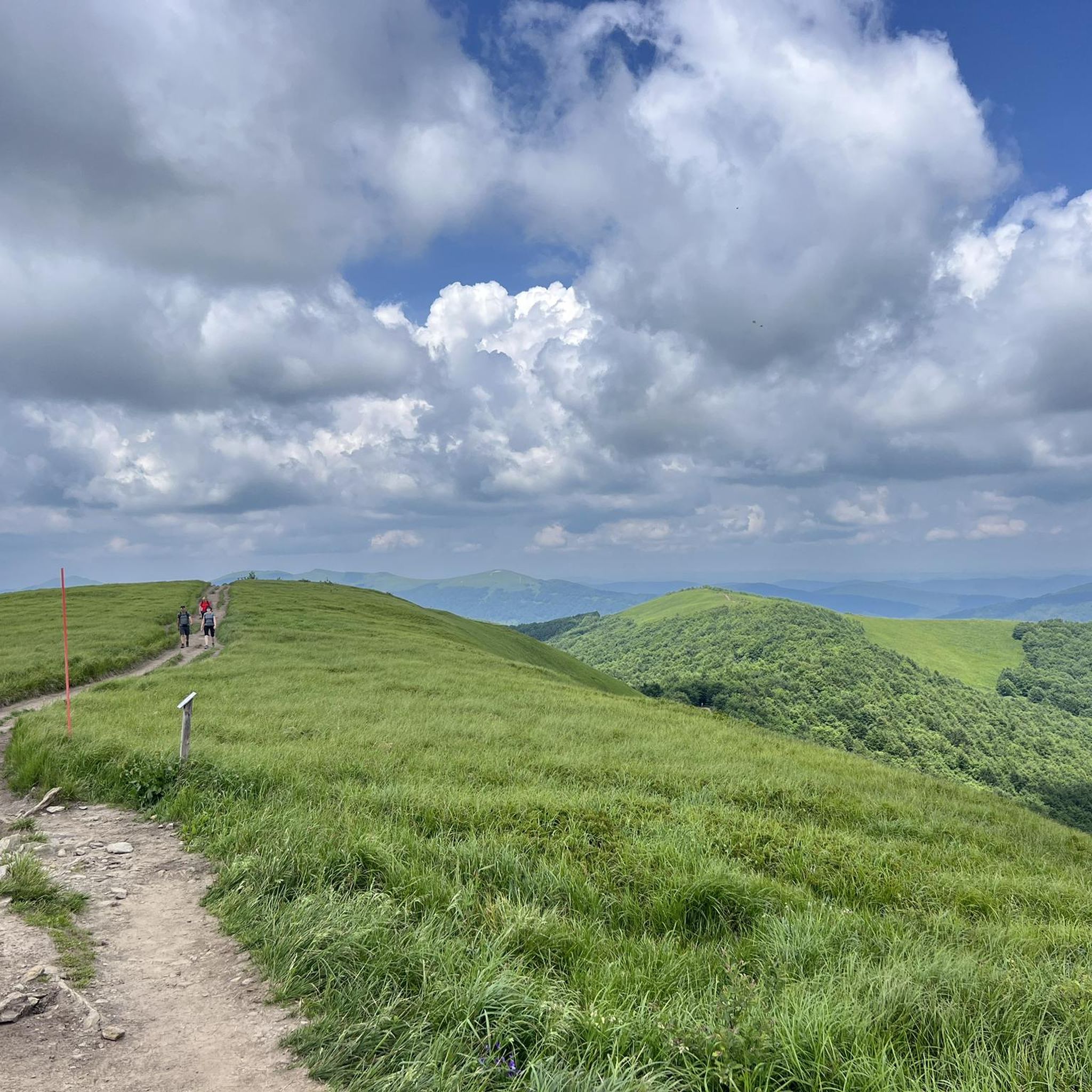
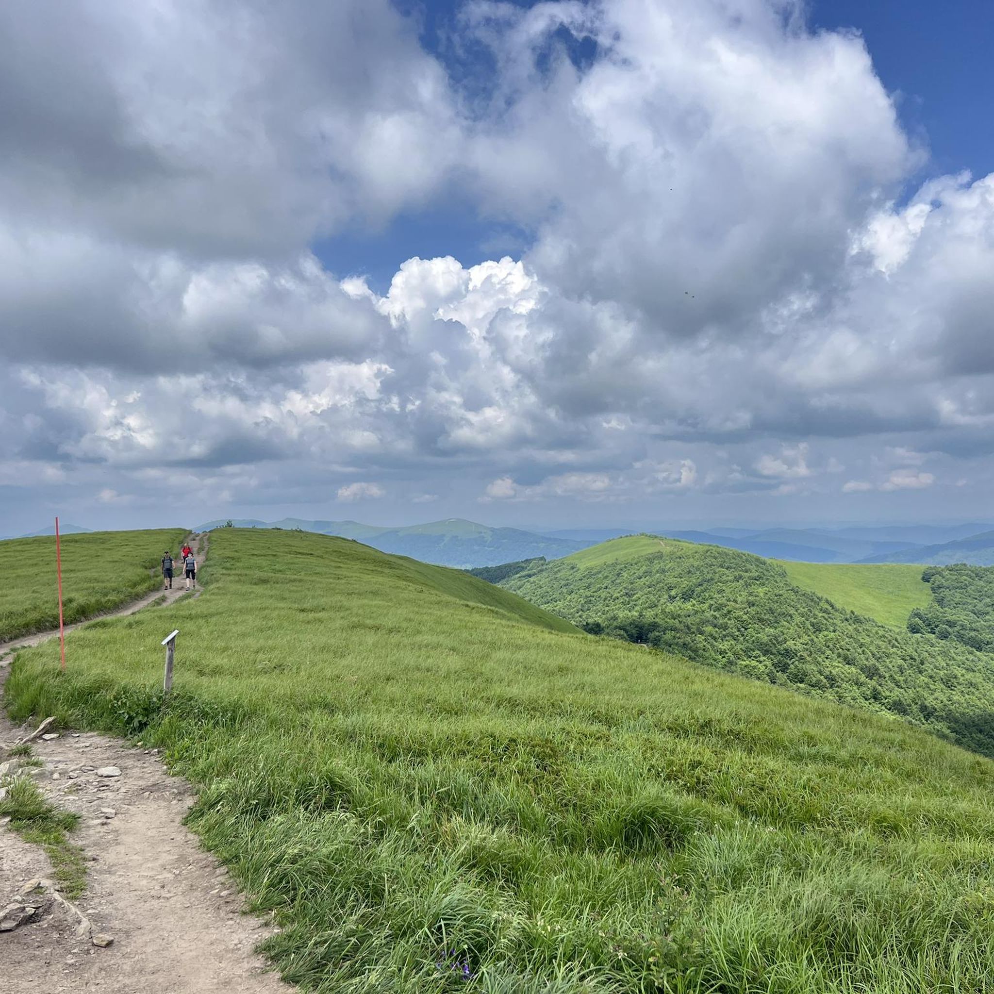
Wyżna Pass, located at an altitude of 872 m above sea level in the Western Bieszczady Mountains, is one of the most recognizable places in the region. The pass offers a magnificent panorama of Połonina Wetlińska, Połonina Caryńska and Tarnica, the highest peak of the Western Bieszczady Mountains. For road cyclists, it is an attractive point on the Great Bieszczady Loop route, offering well-maintained asphalt roads. There is a large parking lot, a bus stop and an inn on site, making it a convenient place to rest. It is also worth paying attention to the monument dedicated to Jerzy Harasymowicz, a poet associated with the Bieszczady Mountains.
1
0
The viewpoint in Lutowiska is one of the most picturesque places in the Bieszczady Mountains, offering panoramic views of the highest peaks in the region, such as Tarnica, Halicz and Szeroki Wierch. Located on the Wielka Pętla Bieszczadzki, this point is easily accessible for road cyclists, thanks to good quality asphalt roads. There is free parking, benches and information boards describing the visible mountain ranges. In the summer season, there is also a booth with local delicacies, which makes it an ideal place for a short break during a bike trip.
1
0
The ascent to Przełęcz Wyżna from Wetlina is longer than from Brzegi Górne and has fewer sides. Over a distance of 5.4 km we overcome 210 m of elevation with an average gradient of 4%. The asphalt is of good quality. On the pass there is a restaurant Zajazd u Górala.
1
0
Wyżna Pass can be reached from Brzegi Górne or Wetlina. Coming from Brzegi, we cover 2.4 km and 130 m of elevation and 5.6% average gradient. The climb gradually becomes steeper and flattens out just before the pass. The quality of the surface is satisfactory.
1
0

At the moment, the cost of a normal ticket to the National Park is PLN 9. If someone collects stamps, there is an opportunity to stamp the book here.
0
0

An iconic pub in the Bieszczady Mountains. It offers cold beer and tap wine. Great atmosphere.
3
0

Don't forget about the stamp.
0
0
Frequently Asked Questions
What is the general terrain like for road cycling around Stužica?
Road cycling around Stužica primarily features routes through the Bieszczady Mountains. You can expect significant elevation changes, winding roads, and forested landscapes, offering a diverse experience with notable ascents and descents within a natural park setting.
Are there any easy or beginner-friendly road cycling routes in Stužica?
The routes around Stužica are generally characterized by mountain terrain and significant elevation changes. While there are no routes explicitly classified as 'easy' in the immediate area, there are several moderate options available. For example, the Wyżna Pass – View of Bieszczady Mountains loop from Wetlina is a moderate 34.2-mile route with over 2,500 feet of elevation gain.
What are some challenging road cycling routes for advanced riders in Stužica?
For advanced road cyclists seeking a challenge, the Wyżna Pass – Base of the People of the Mist loop from Ustrzyki Górne is a difficult 63.2-mile path. This route involves substantial climbing, with over 4,800 feet of elevation gain across varied mountain terrain, providing a demanding experience.
Are there any loop trails for road cycling around Stužica?
Yes, many of the road cycling routes around Stužica are designed as loops. Popular options include the Wyżna Pass – View of Bieszczady Mountains loop from Wetlina and the Wyżna Pass – Base of the People of the Mist loop from Ustrzyki Górne, both offering circular journeys through the scenic mountain passes.
What kind of viewpoints can I expect on road cycling routes in Stužica?
Road cycling routes in Stužica offer numerous opportunities for scenic views, particularly from mountain passes. The Wyżna Pass – View of Bieszczady Mountains loop from Wetlina, for instance, is specifically highlighted for its panoramic views of the Bieszczady Mountains.
What attractions or landmarks can I see near the road cycling routes?
While cycling, you can explore several interesting landmarks and natural features. Notable attractions include the Krzemieniec Tri-Border Point, the Kamienna Summit, and the serene Small Waterfall in Stužica. The Stužica National Nature Reserve also offers a glimpse into the region's dense forests.
What do other road cyclists enjoy most about road cycling in Stužica?
The area is highly rated by the komoot community, with an average score of 5.0 stars. Reviewers often praise the challenging mountain passes, the dense forests, and the significant elevation changes that define the road cycling experience in Stužica.
What is the best time of year to go road cycling in Stužica?
Given the mountainous terrain and potential for varying weather conditions in the Bieszczady Mountains, the best time for road cycling in Stužica is typically during the warmer months, from late spring to early autumn. This period generally offers more stable weather and clear roads, though conditions can change rapidly in mountain environments.
Are there any cafes or places to stop for refreshments along the routes?
While specific cafes directly on every route are not detailed, the routes often pass through or near villages like Wetlina and Ustrzyki Górne. These settlements typically offer amenities where cyclists can find refreshments and take a break.
How many road cycling routes are available around Stužica?
There are currently four distinct road cycling routes detailed around Stužica, offering a range of distances and difficulties for cyclists to explore the Bieszczady Mountains.
Is public transport available to reach the road cycling starting points in Stužica?
Access to the Stužica region, particularly starting points like Wetlina and Ustrzyki Górne, can be achieved via regional bus services. However, public transport options may be limited, so it's advisable to check local schedules in advance for the most convenient connections to the trailheads.
What is the longest road cycling route in Stužica?
The longest road cycling route currently available is the Wyżna Pass – Base of the People of the Mist loop from Ustrzyki Górne, which spans 63.2 miles (101.8 km) and features significant elevation gain, making it a substantial ride.
Most popular attractions around Stužica

Get inspired with the komoot mobile app


Explore more
Browse the best Road cycling routes in other regions.
